24th April – 8th May 2026
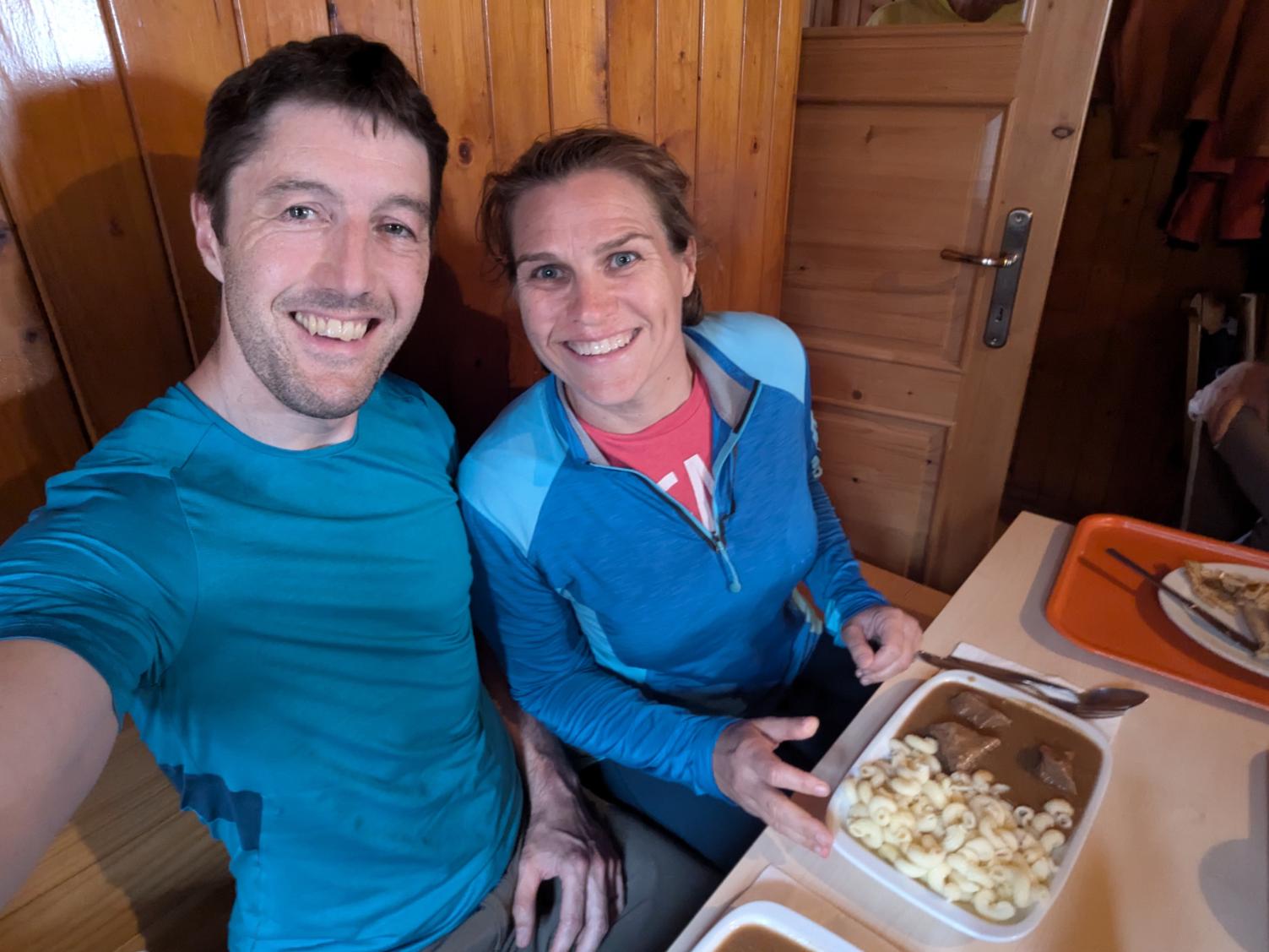
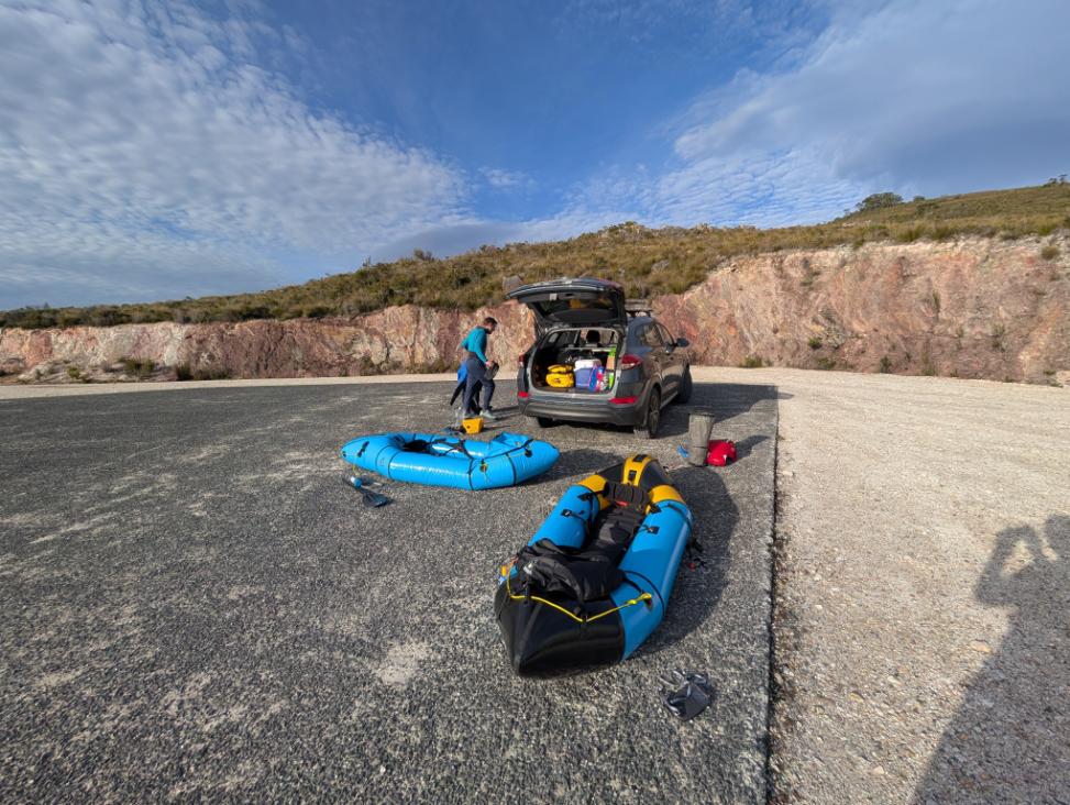
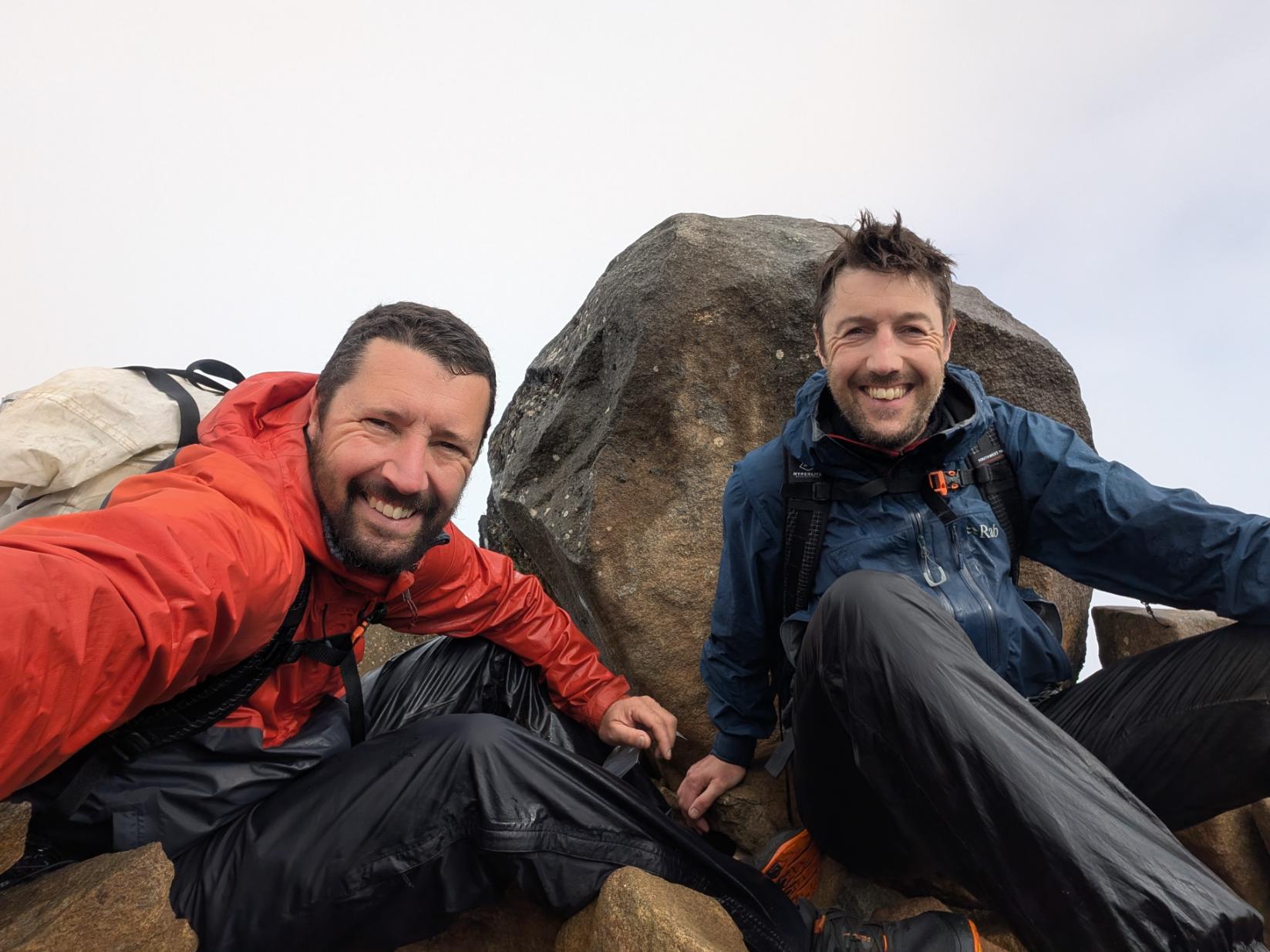
My brother and I had two weeks in Tasmania with packrafts. We packrafted on 9 days, hiked on 3 days, and had a 1 day transfer at the end of the Huon River expedition to get back to the car, which represented a really good ratio of adventure days to rest days.
It was one of the best expeditions we’ve been on together and we really maximized the good weather to achieve our objectives.
Here’s a 22-minute video stitched together from all the short clips we recorded. Below that is a more detailed photo essay. Enjoy!
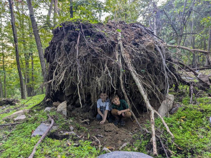
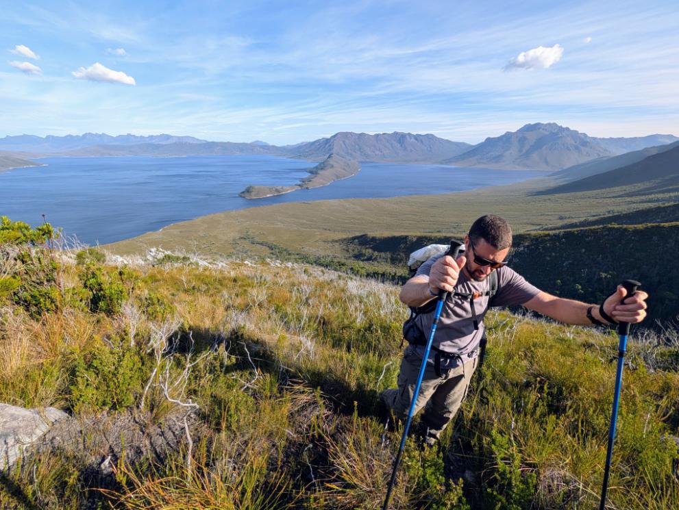
Lake Pedder Expedition (Days 1 – 3)
- Total Distance: 22 miles / 35.4 km
- 3 days
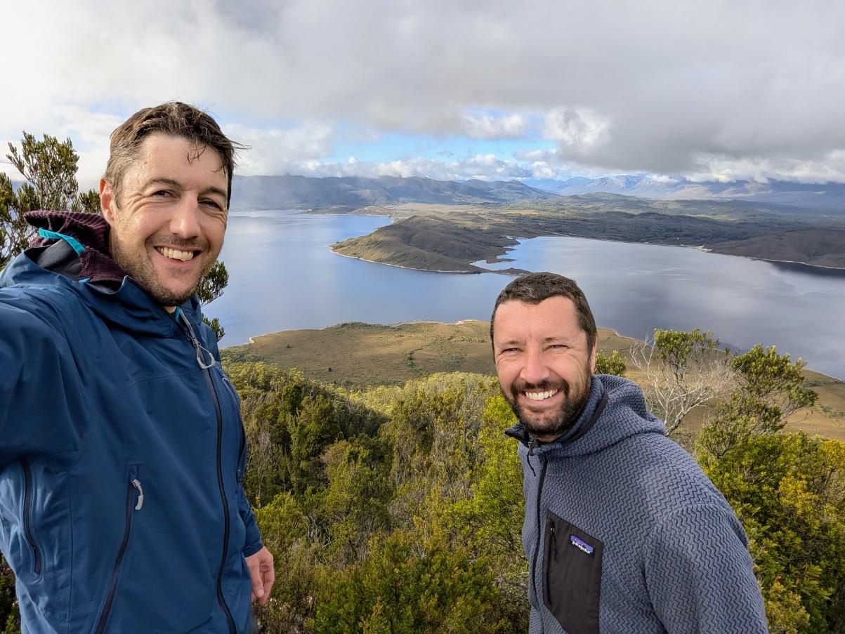
- 1 summit (Scotts Peak)
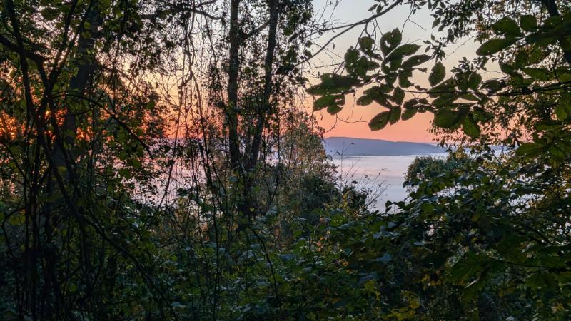
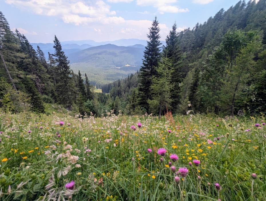
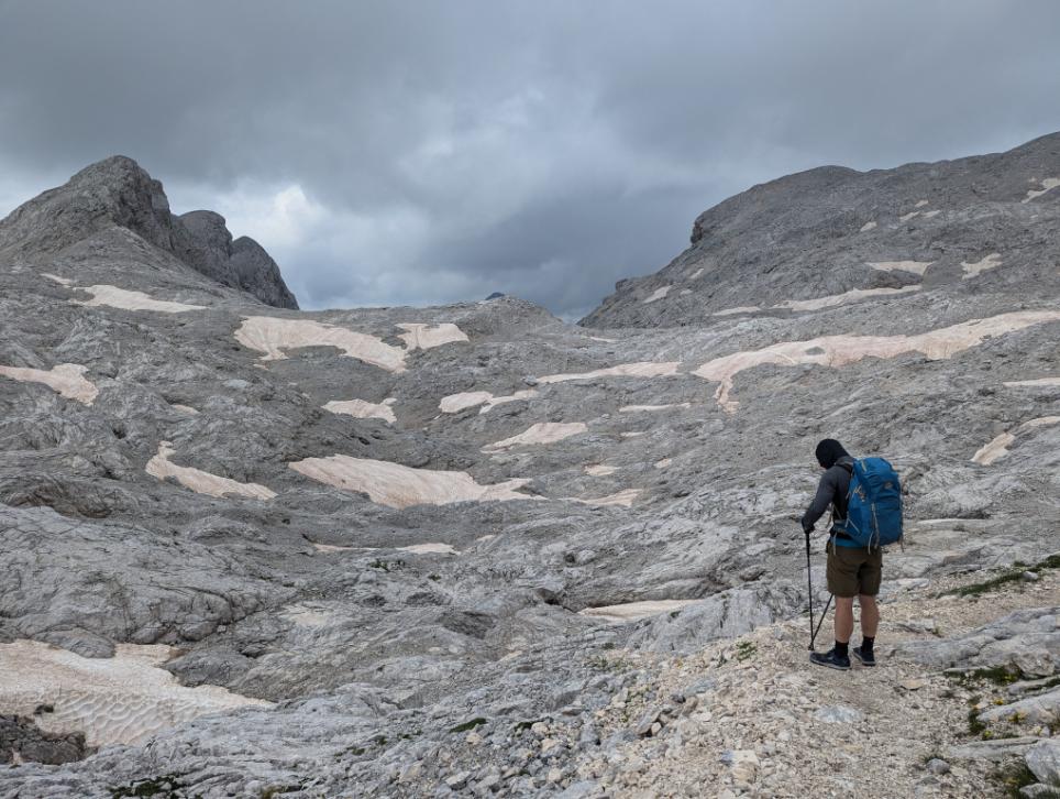
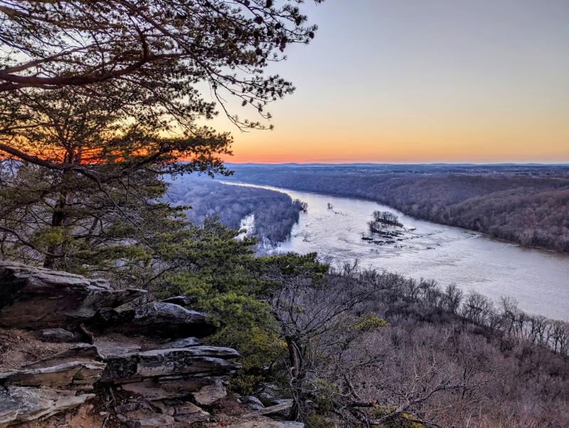
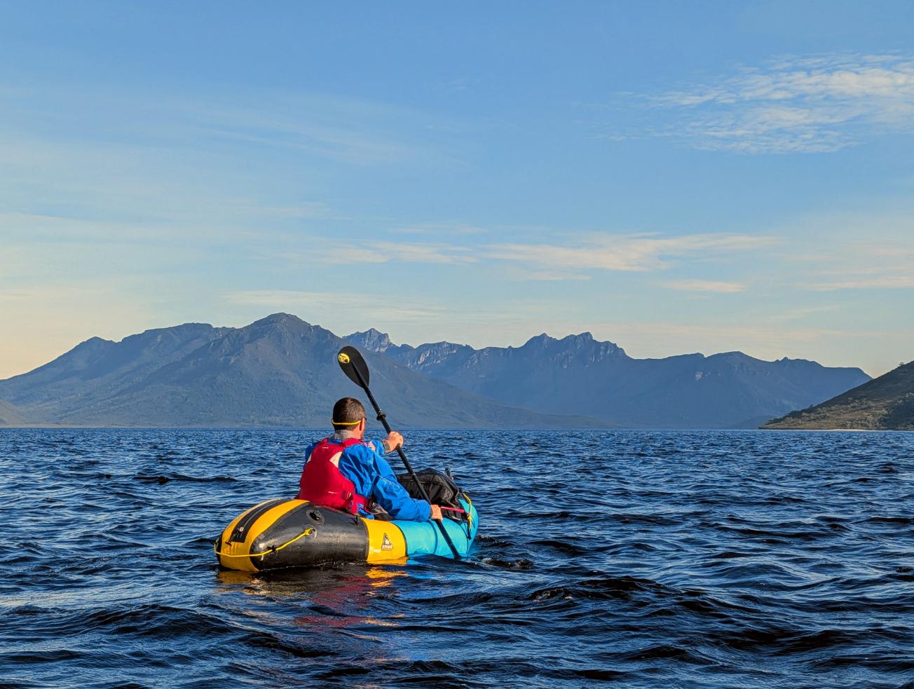
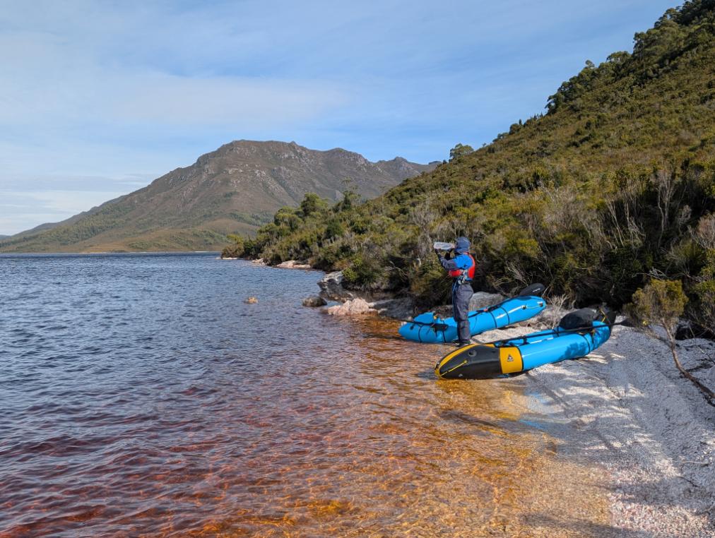
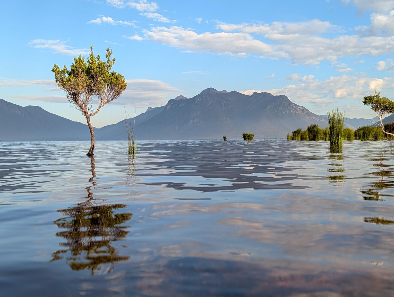
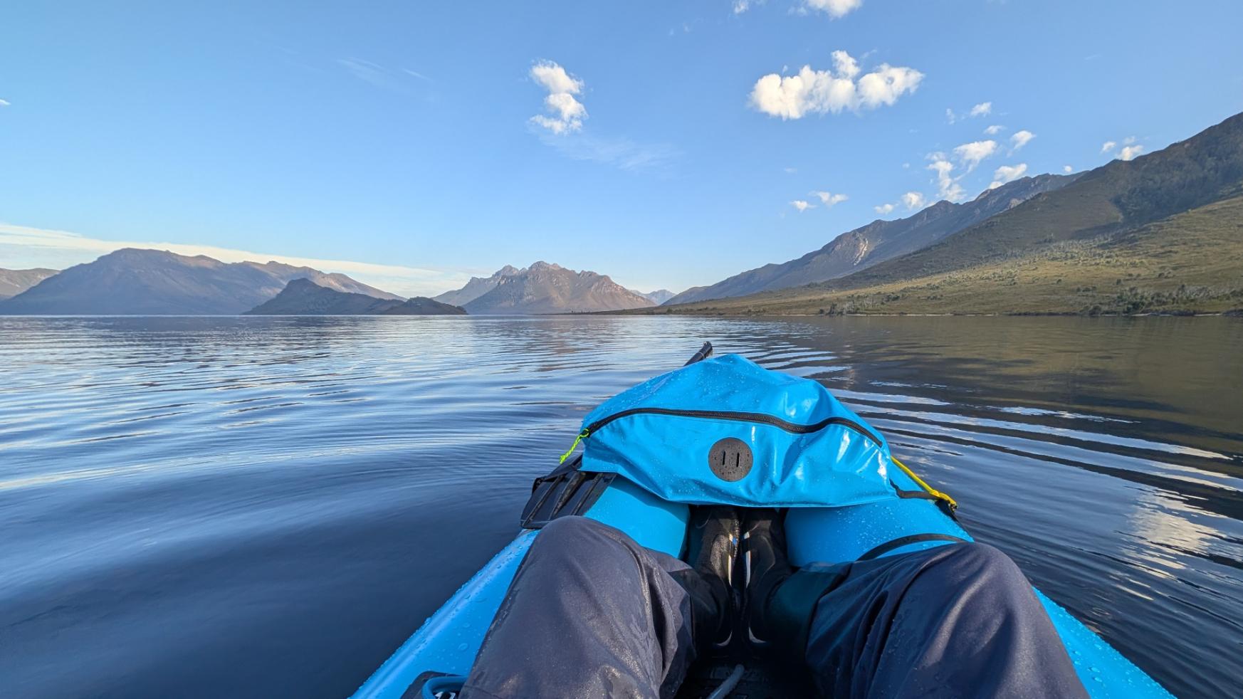
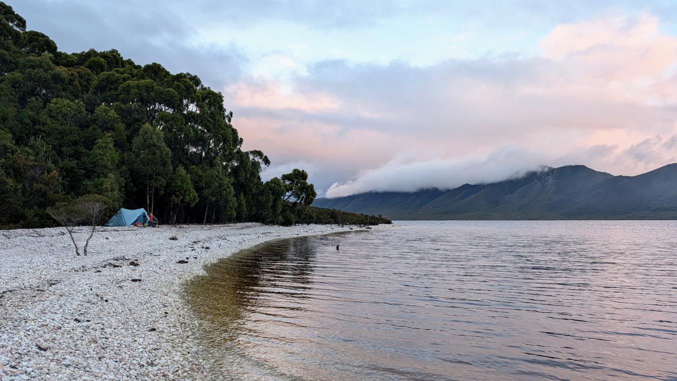
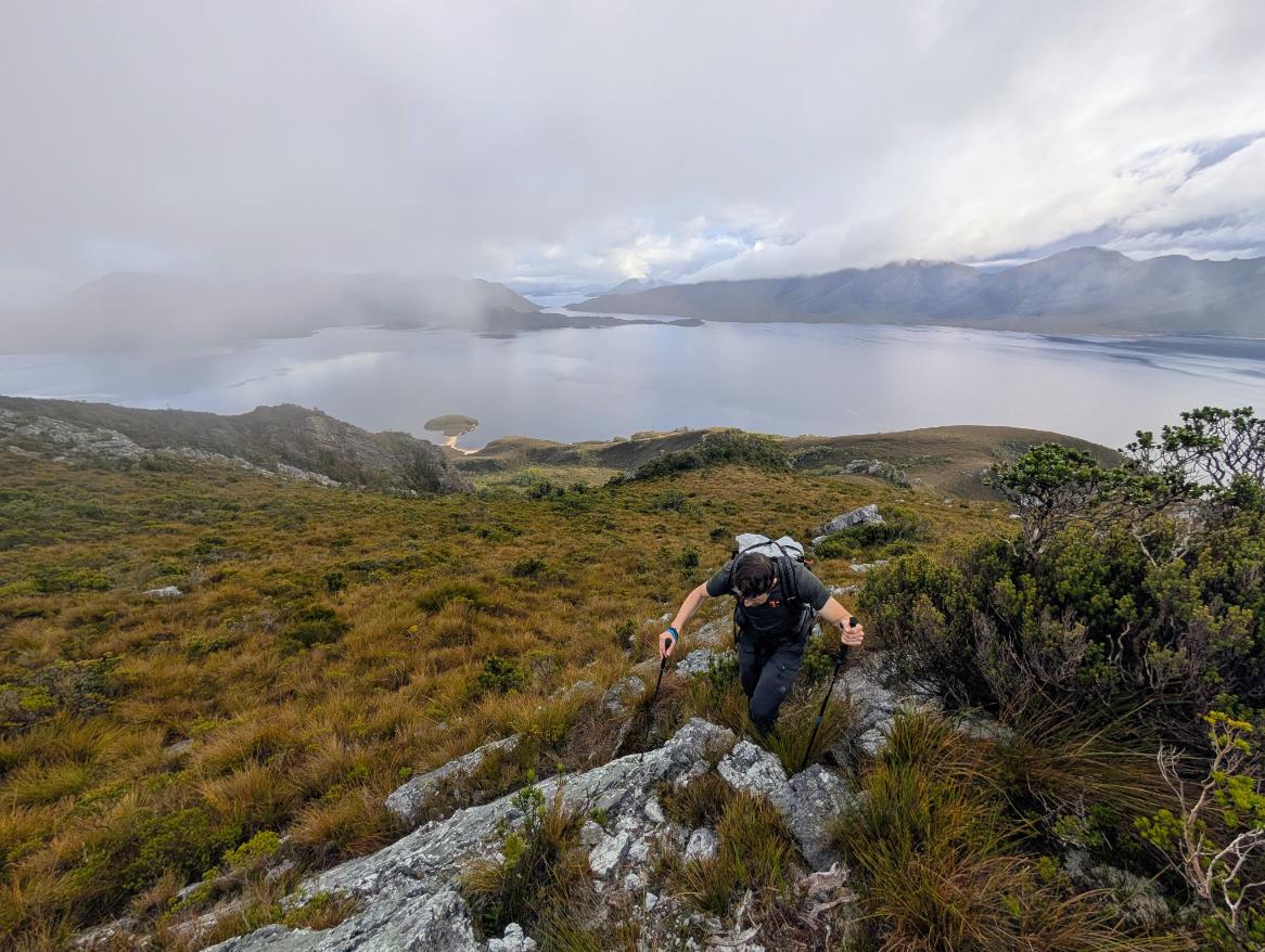
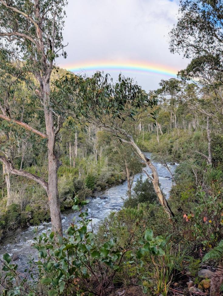
When we arrived in Southwest National Park, a large high pressure system had settled over Tasmania. Wanting to take take advantage of these calm conditions—wind is the enemy of packrafters!—we decided to explore some of the islands in Lake Pedder.
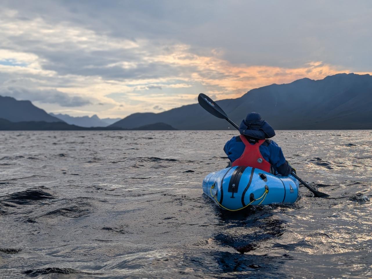
We camped and explored both islands, Mt Solitary and Scotts Peak, and climbed Scotts Peak. The packrafting involved open water crossings of up to about 2.5 miles between the islands. Even with the relatively benign conditions, the afternoon wind affected our plans, so we had to abandon the circumnavigation of Mt Solitary and return with the wind at our backs (which was great fun!).
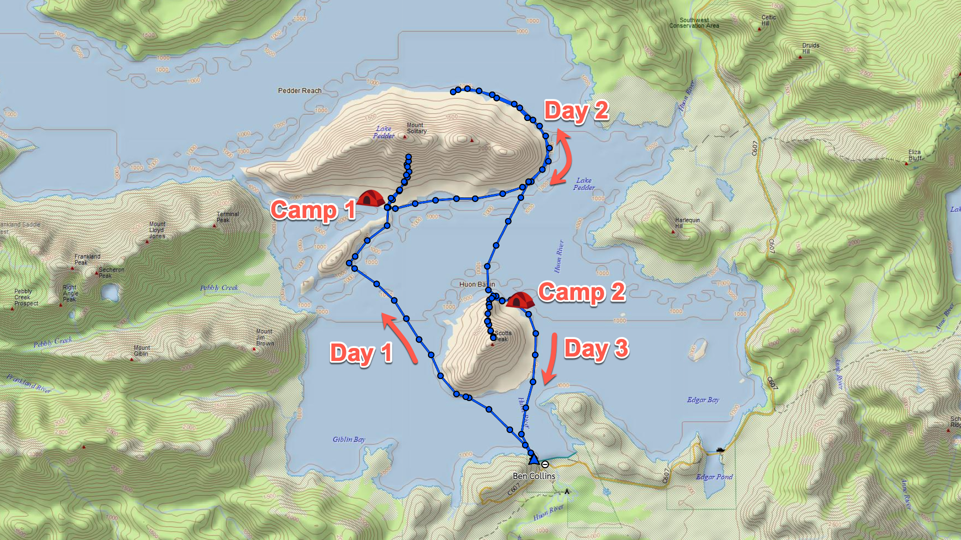
Day 1: Paddling to Mt Solitary and exploring the island
Day 2: Paddling around Mt Solitary on Lake Pedder
Day 3: Scotts Peak climb and Lake Pedder Packrafting
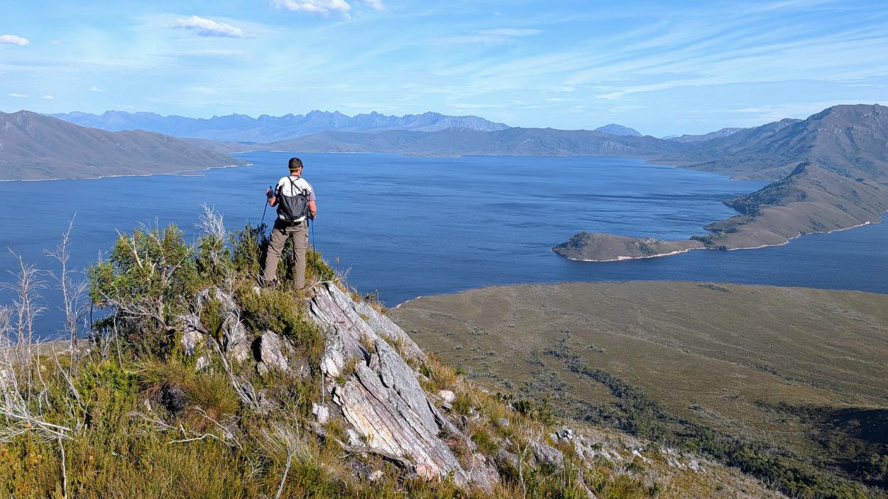
Huon River Expedition (Days 4 – 9)
- Total Distance: 60 miles / 96.5 km
- 6 days (2 hiking, 4 packrafting)
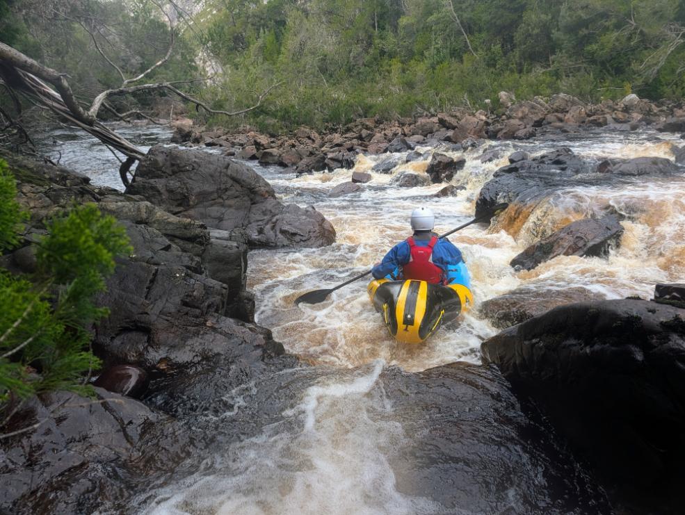
- Grade II rapids
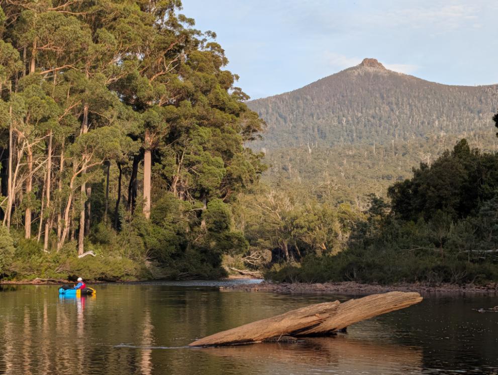
Next up was our main objective: the Huon River, a remote Grade II river flowing from Scotts Peak dam to Huonville.
The route was a long traverse from left (Port Davey trailhead) to right (town of Huonville):
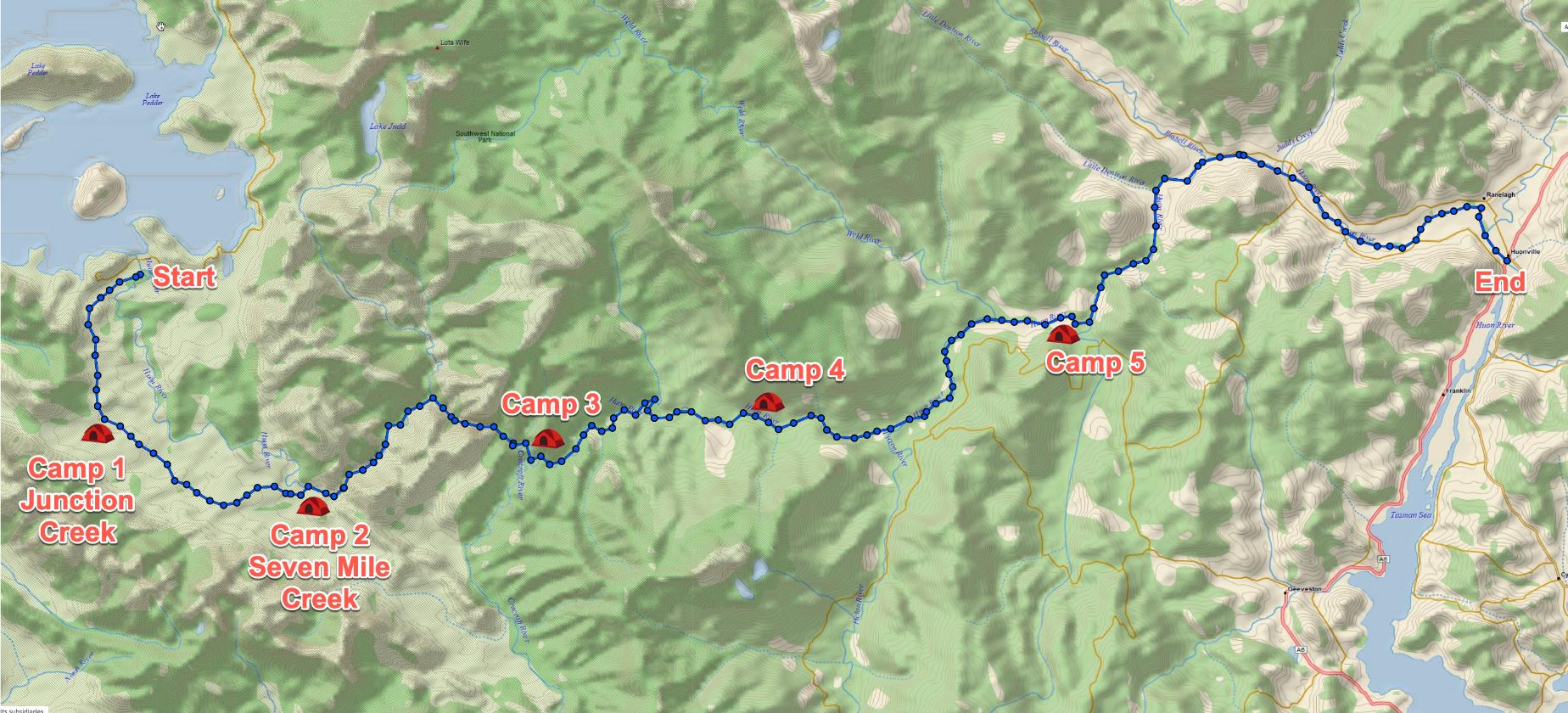
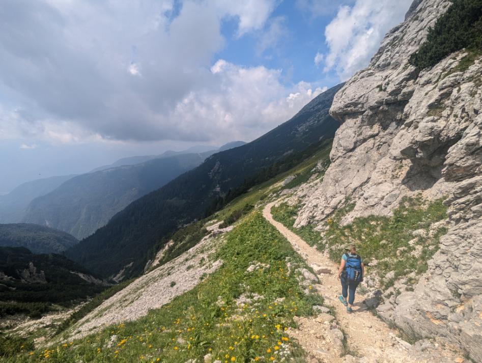
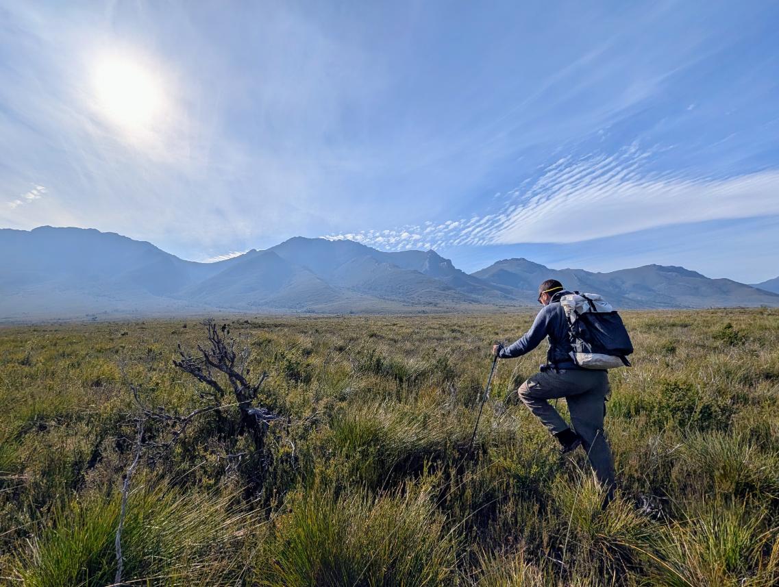
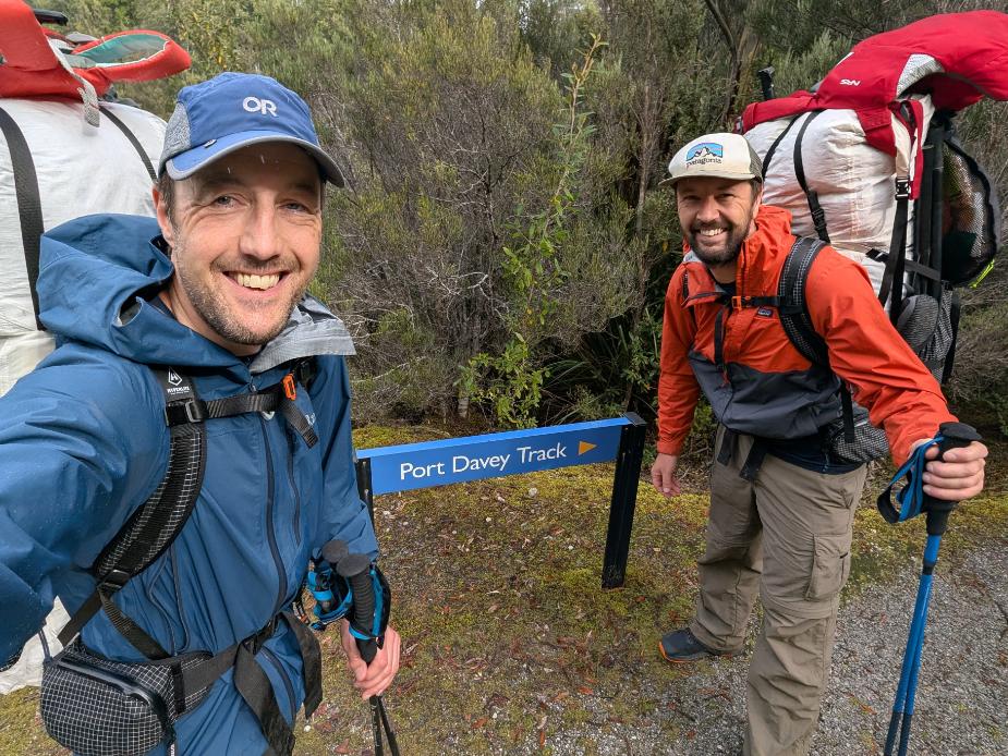
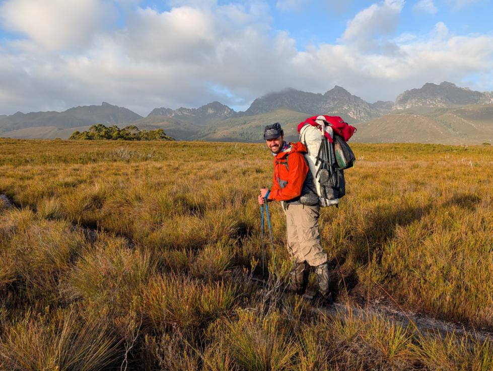
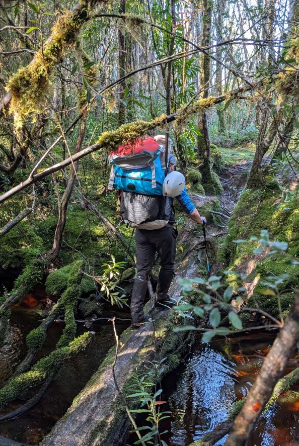
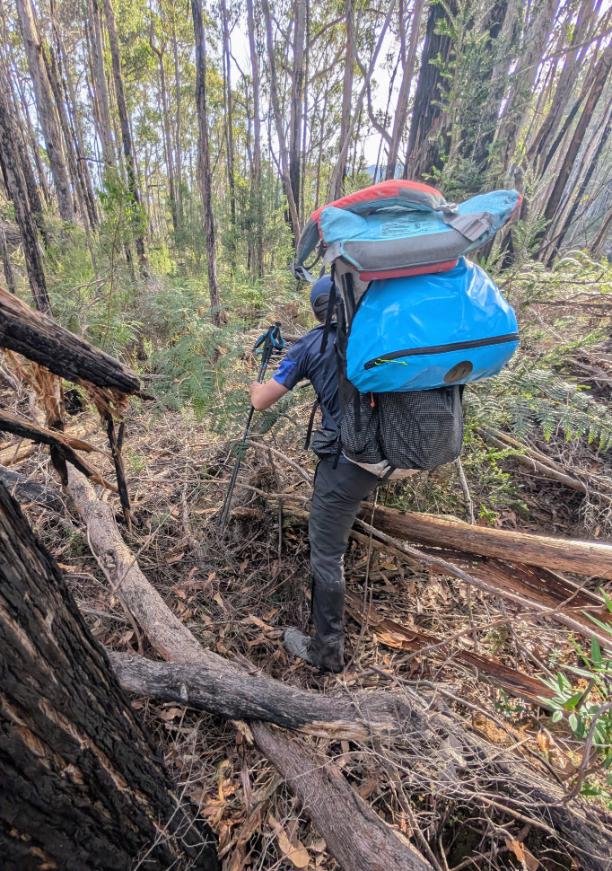
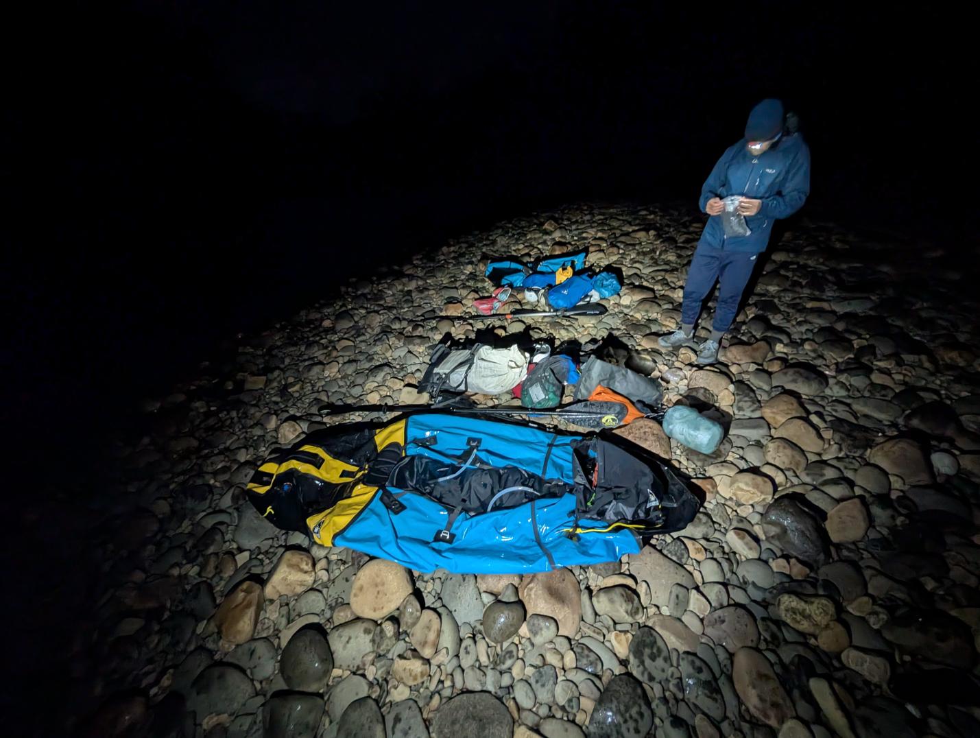
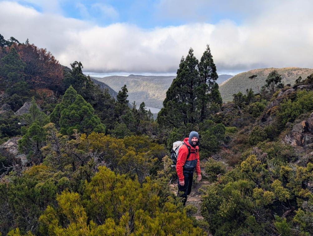
Day 4: Port Davey Track to Junction Creek Campsite (hiking)
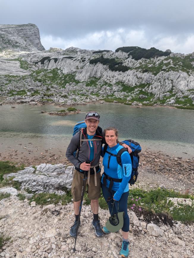
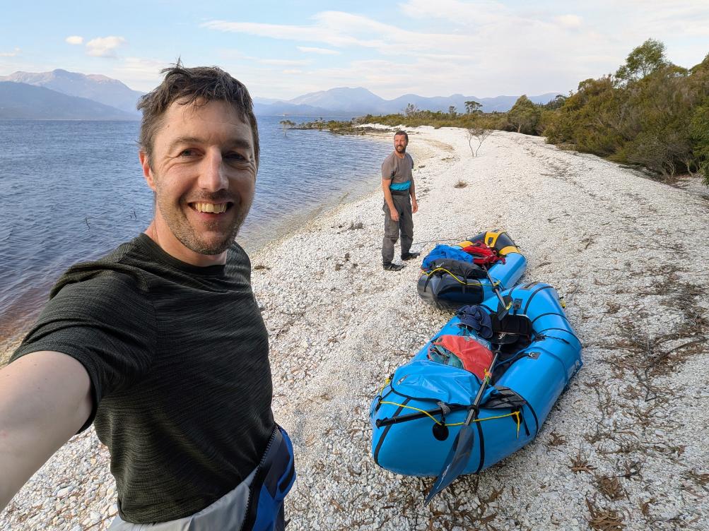
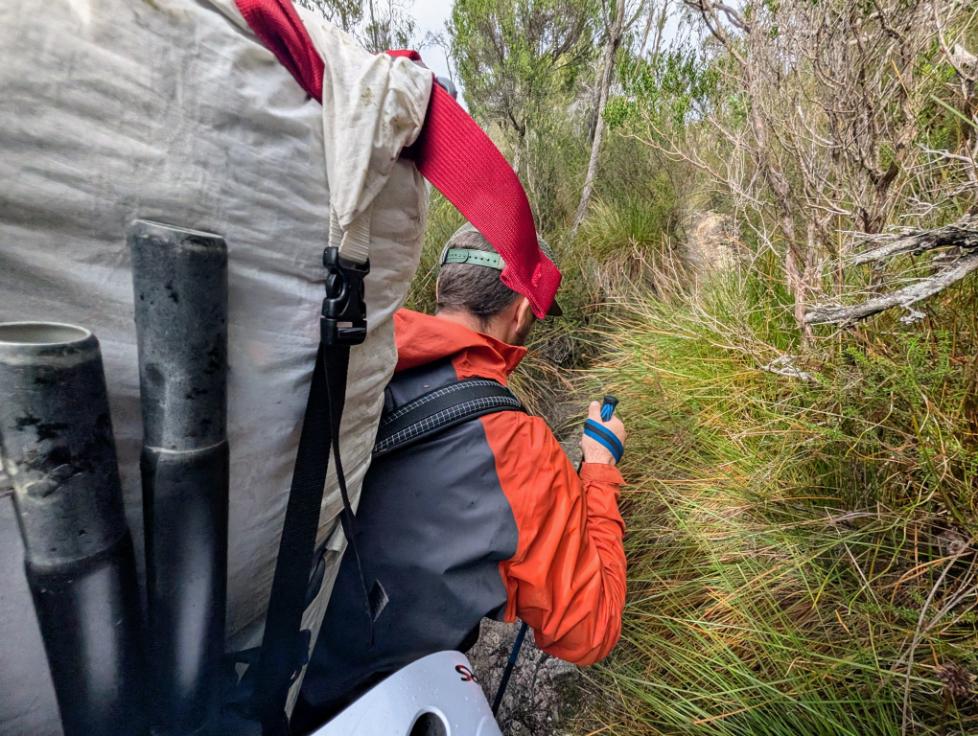
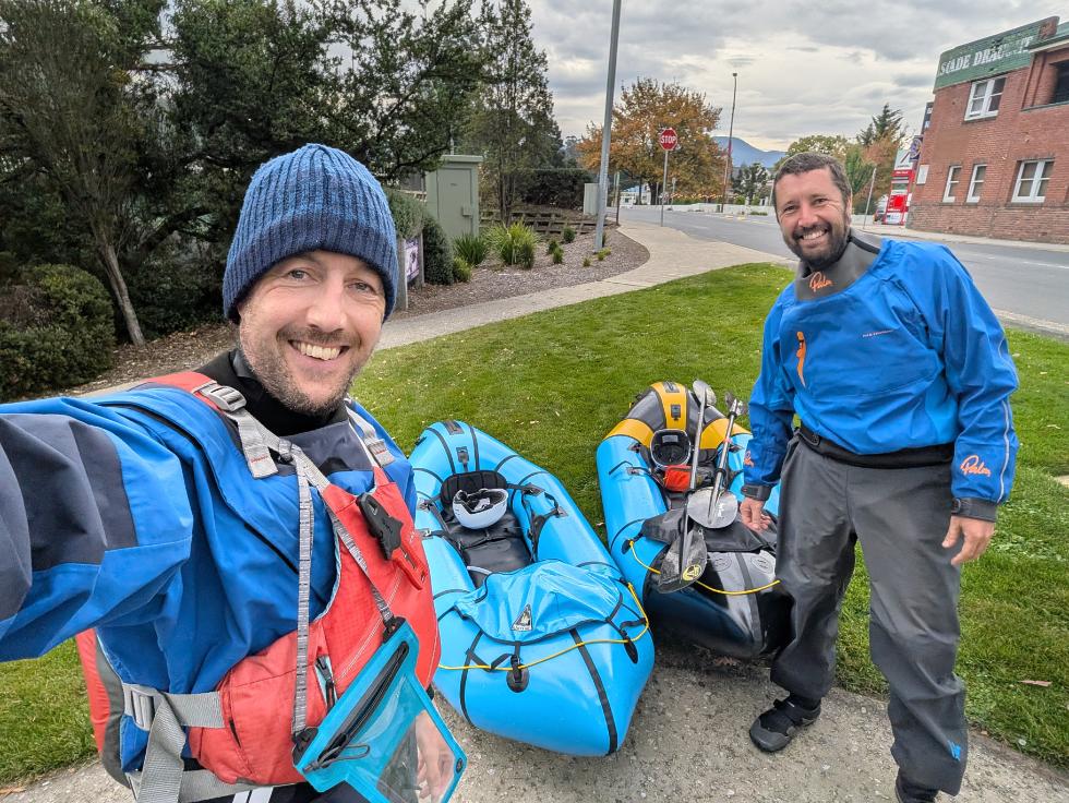
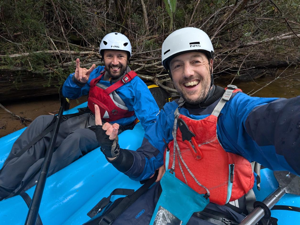
My brother and I have done many mountain trips before, but this was our first backcountry trip with packrafts. We felt a mix of excitement and trepidation as we set off for the remote Huon river.
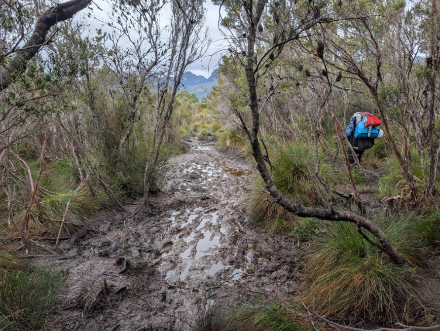
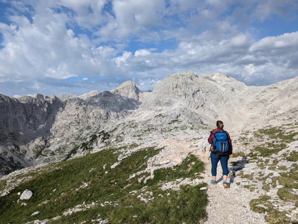
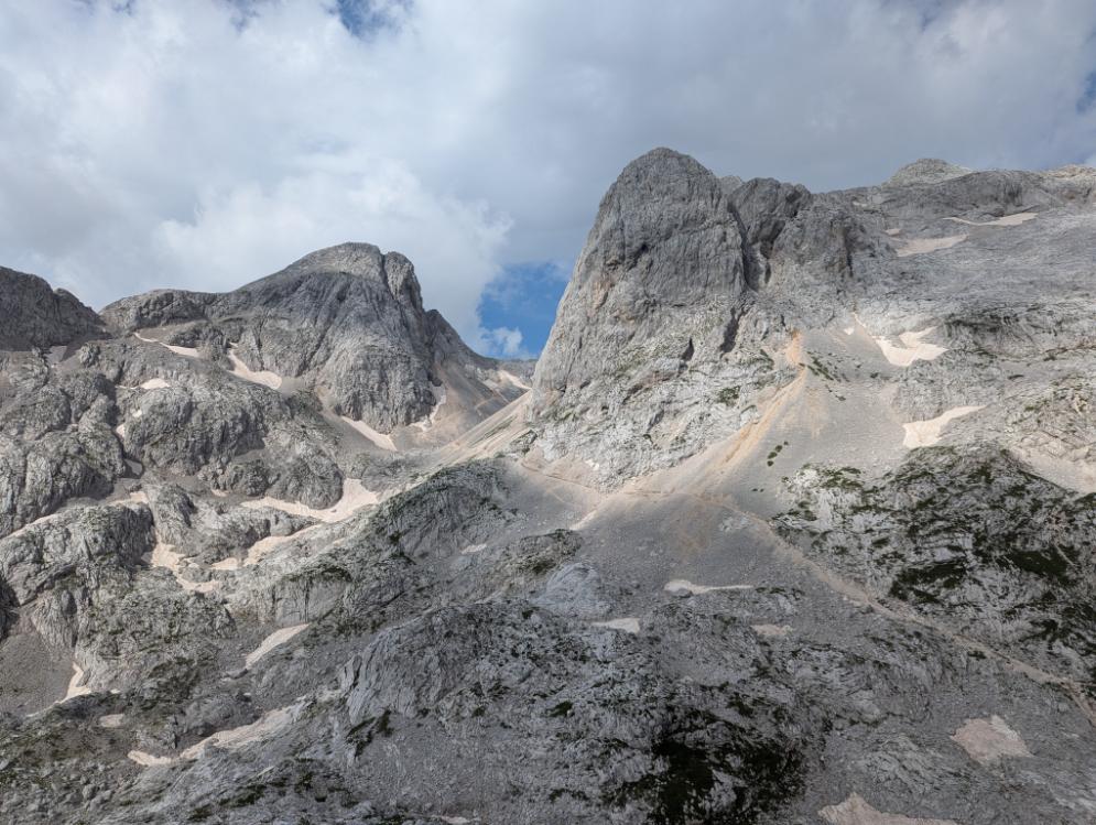
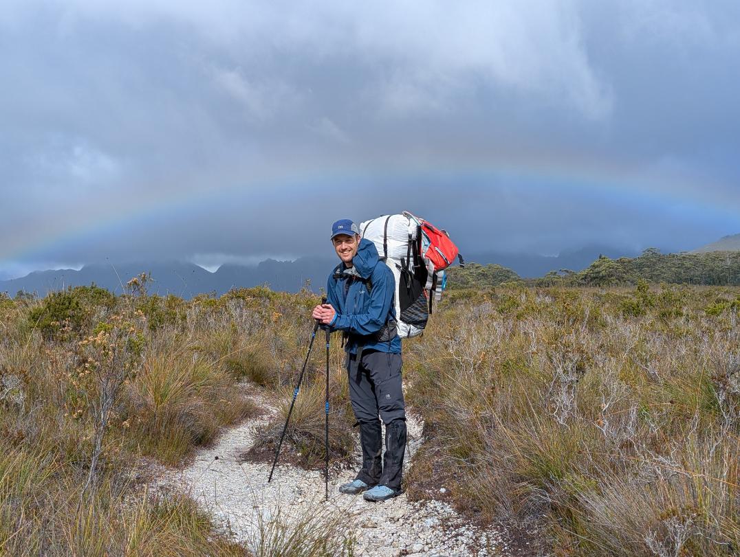
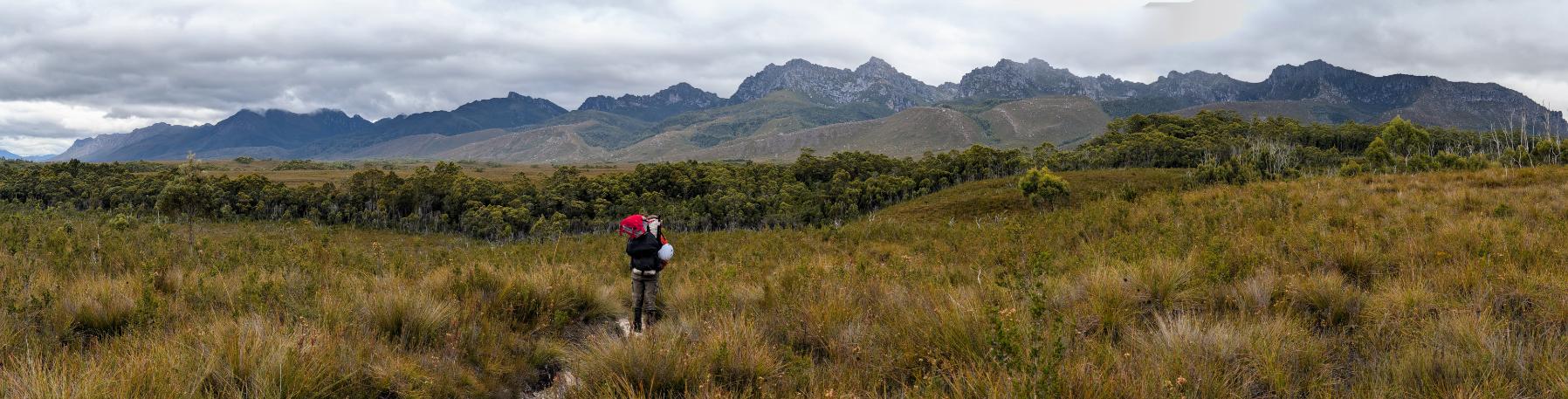
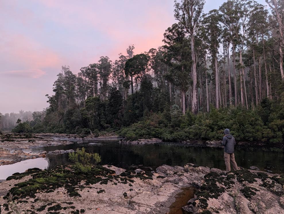
We were lucky with the continuing good weather and had fantastic views of the Western Arthurs mountains stretching into the distance.
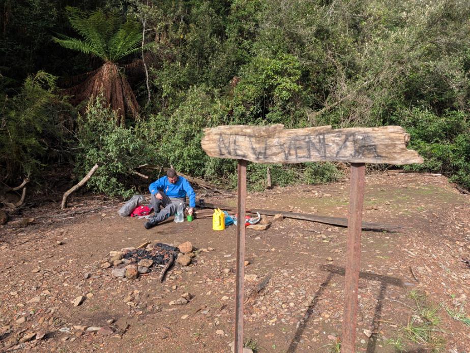
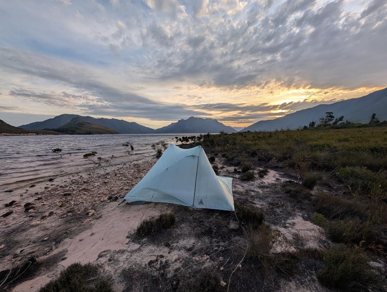
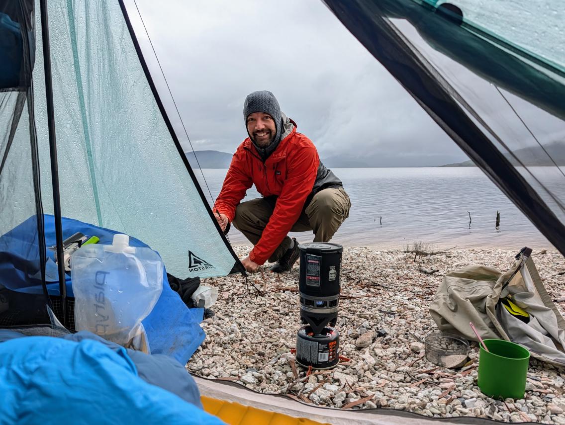
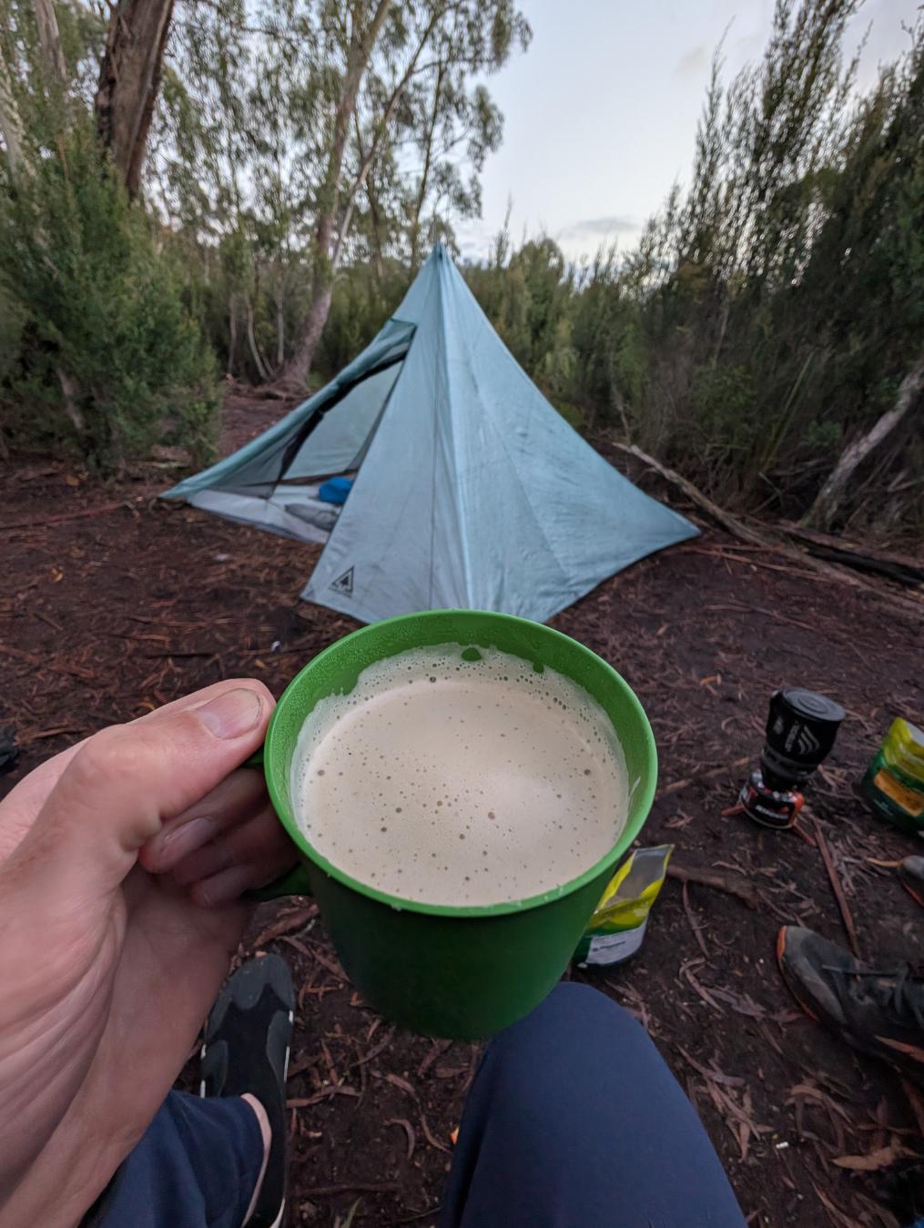
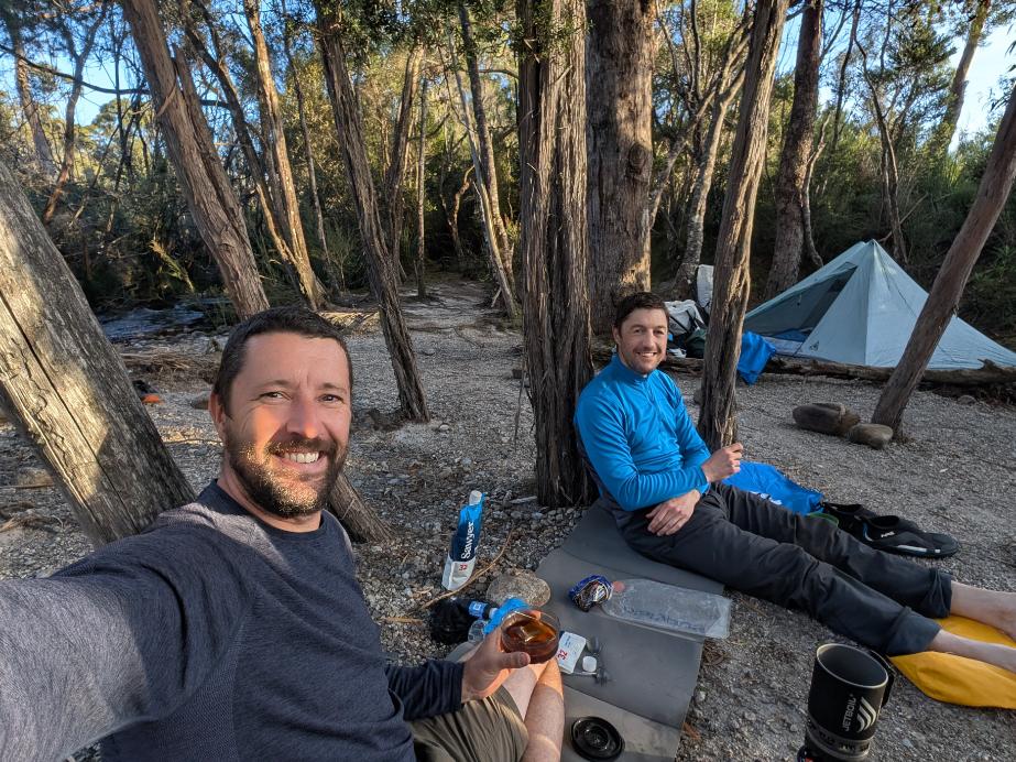
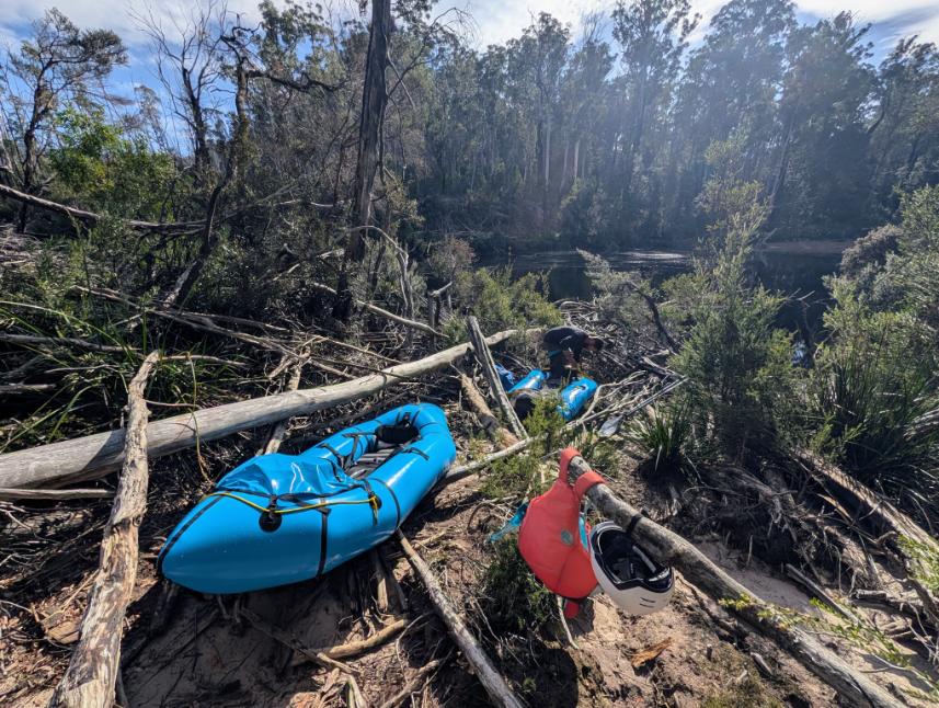
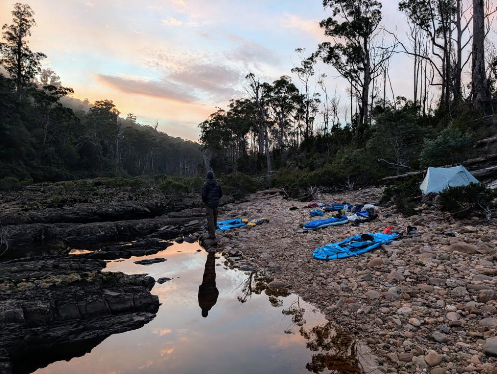
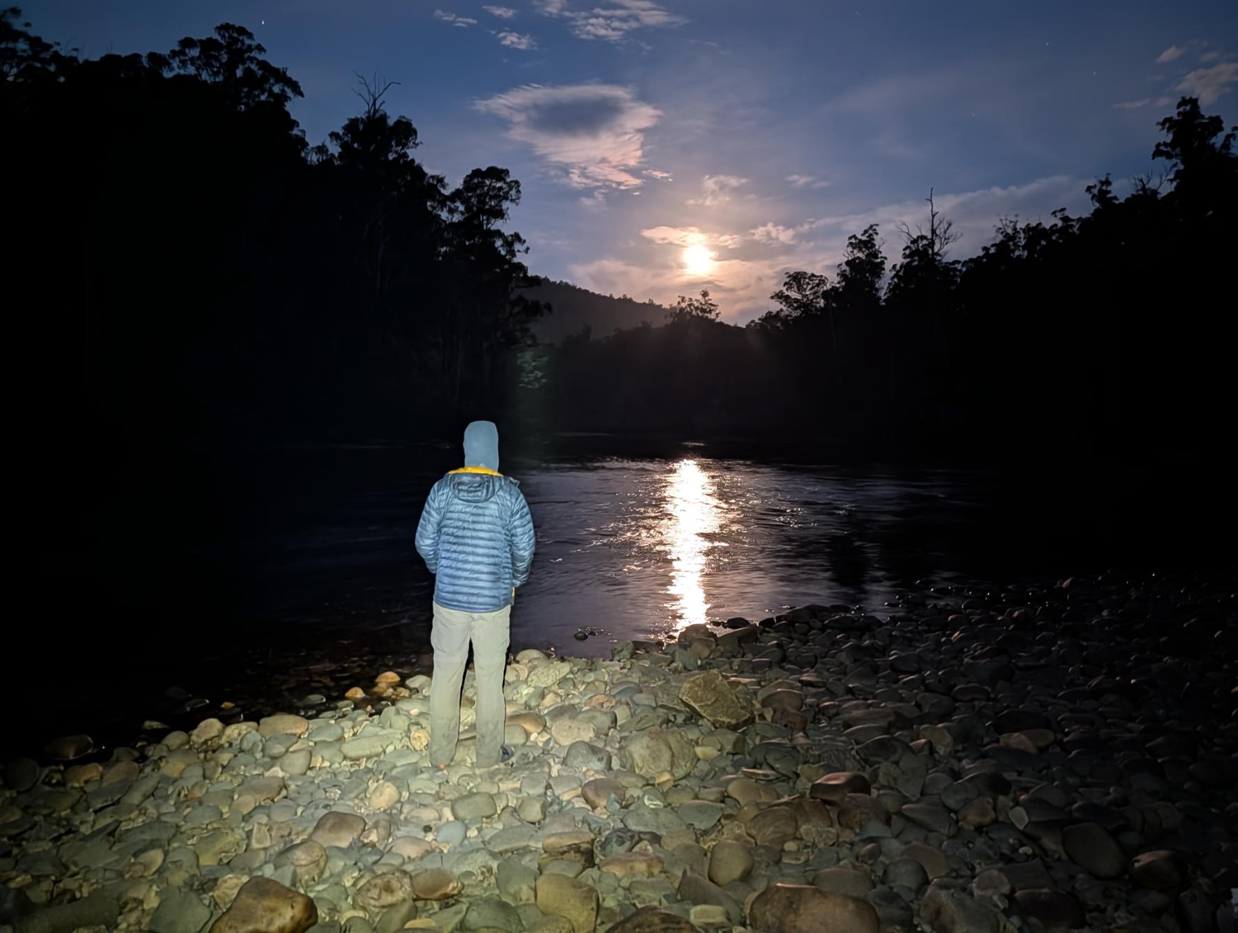
As the river levels were very low (borderline runnable) we opted to skip the upper part of the river and put in near Junction Creek, where the trail and the river converge and are less than a mile apart. We camped at Junction Creek that night, full of excitement to get on the river early the next morning. Little did we know what Mother Nature had in store for us.
Day 5: Junction Creek camp to Seven Mile Creek camp (hiking)
Day 6: Seven Mile Creek and Huon River Gorge (packrafting)
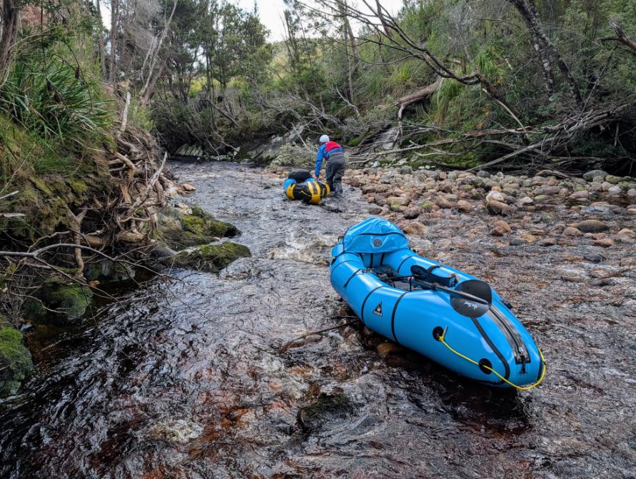
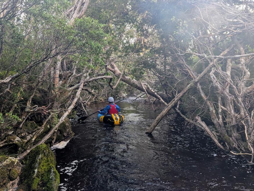
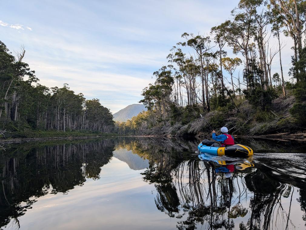
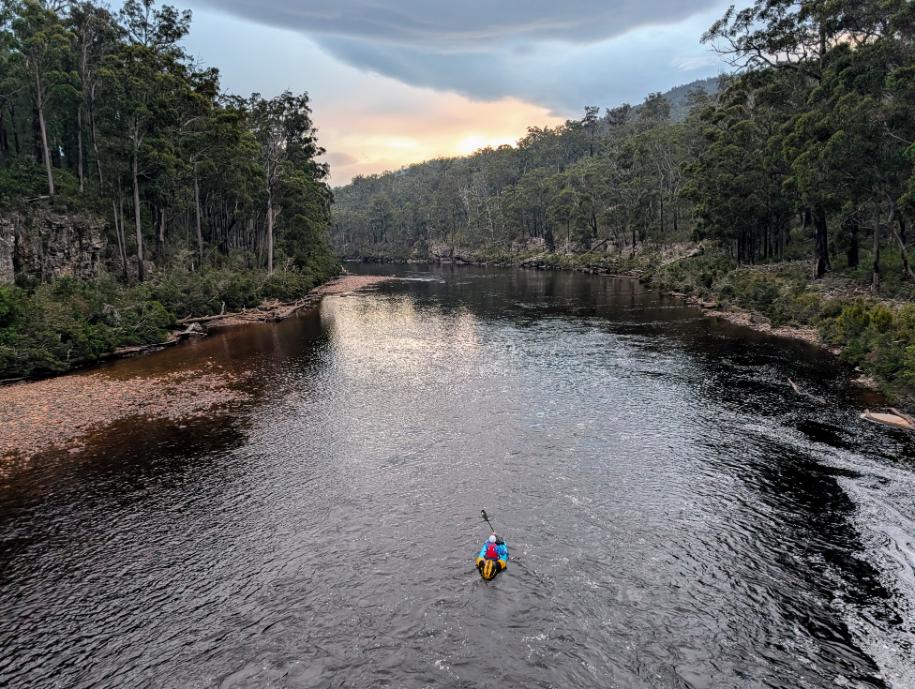
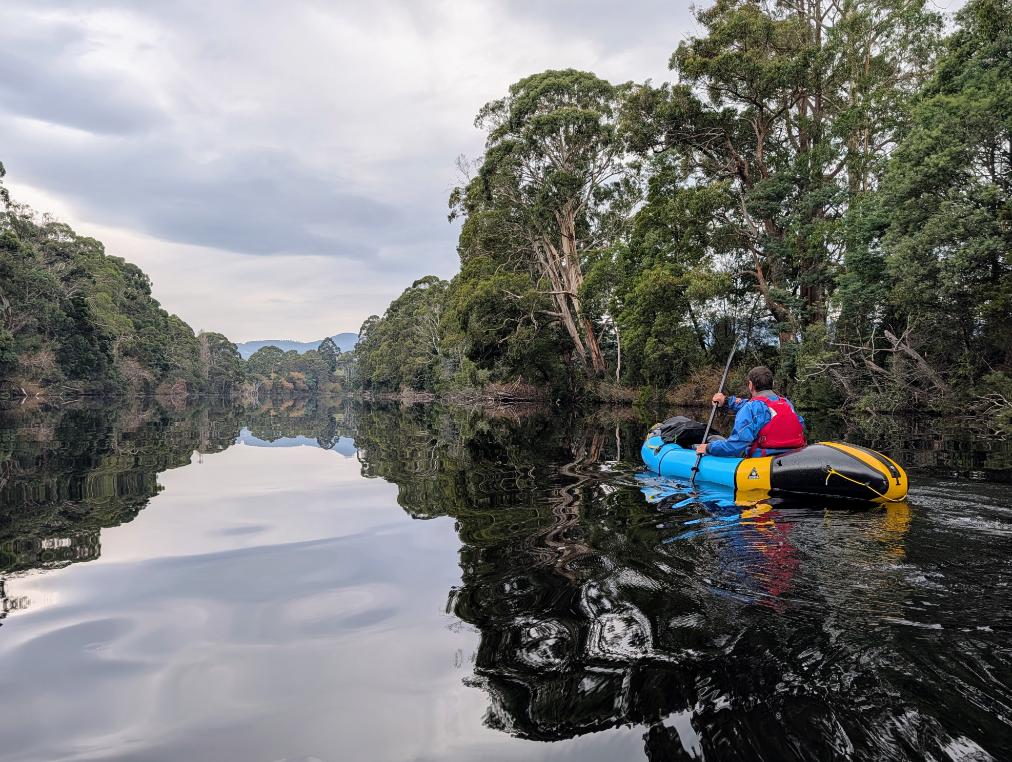
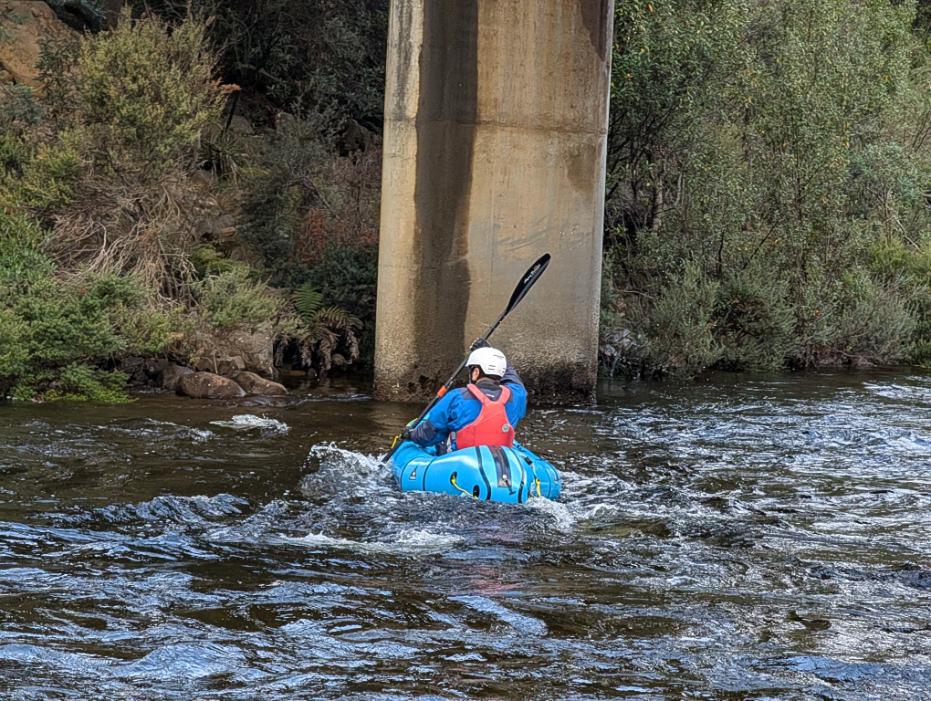
The following morning we were able to paddle the few hundred feet down the narrow gorge of Seven Mile Creek to reach the Huon River proper.
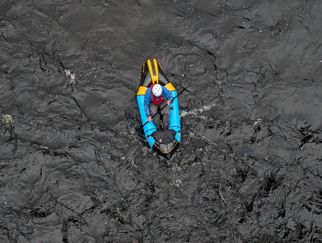
The gauge at Judbury was around 0.7m during our trip, which was definitely on the low side. The first day on the river, starting from Seven Mile Creek, was scratchy, and we repeatedly had to jump out to scoot over rocks. But it got better as we got further down the river. But the upper rapids would definitely be more fun and you’d move a lot quicker if the gauge was over 1m.
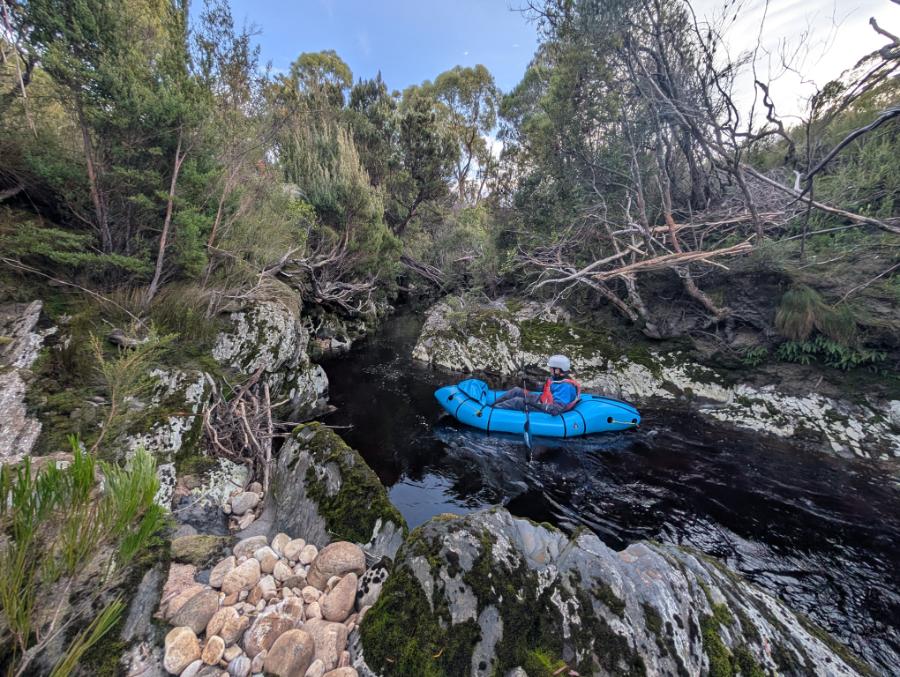
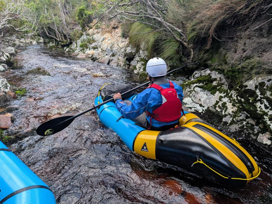
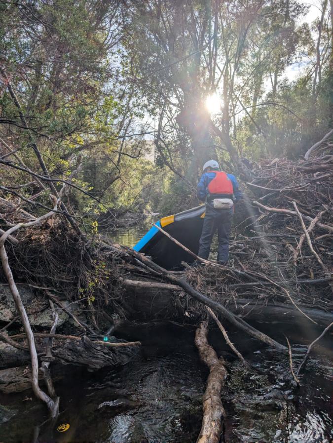
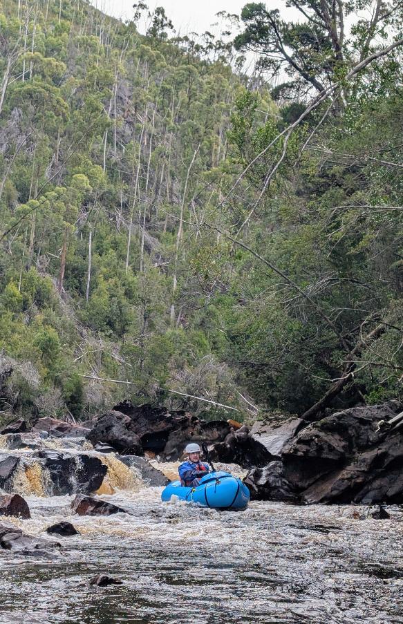
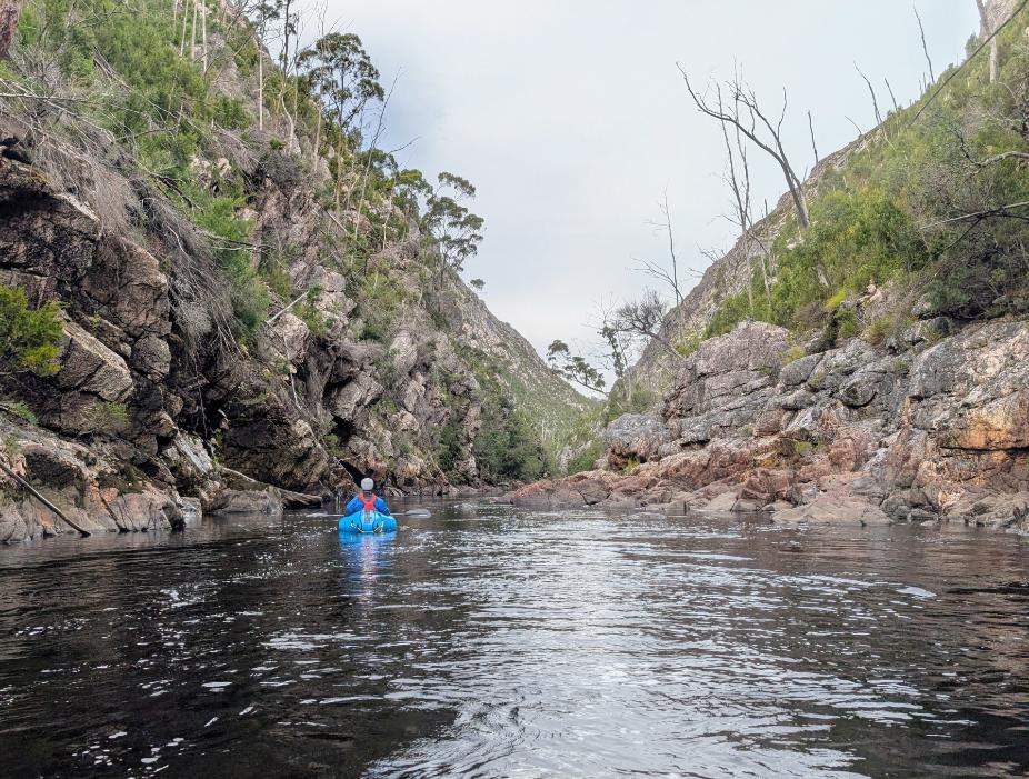
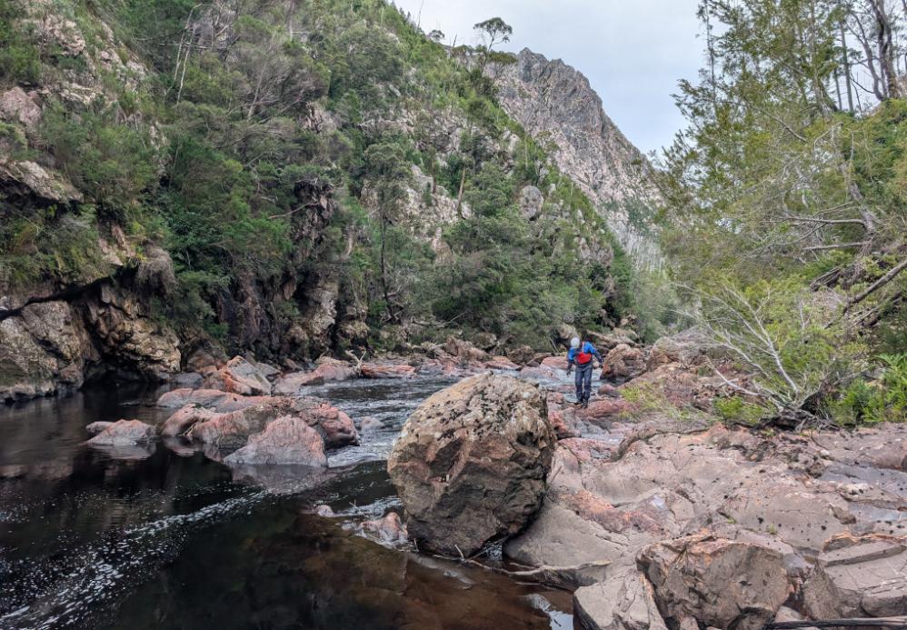
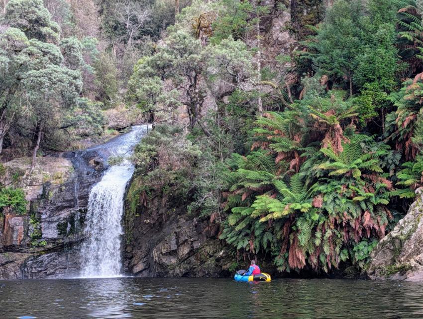
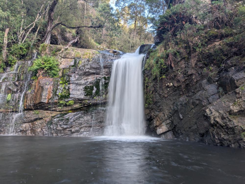
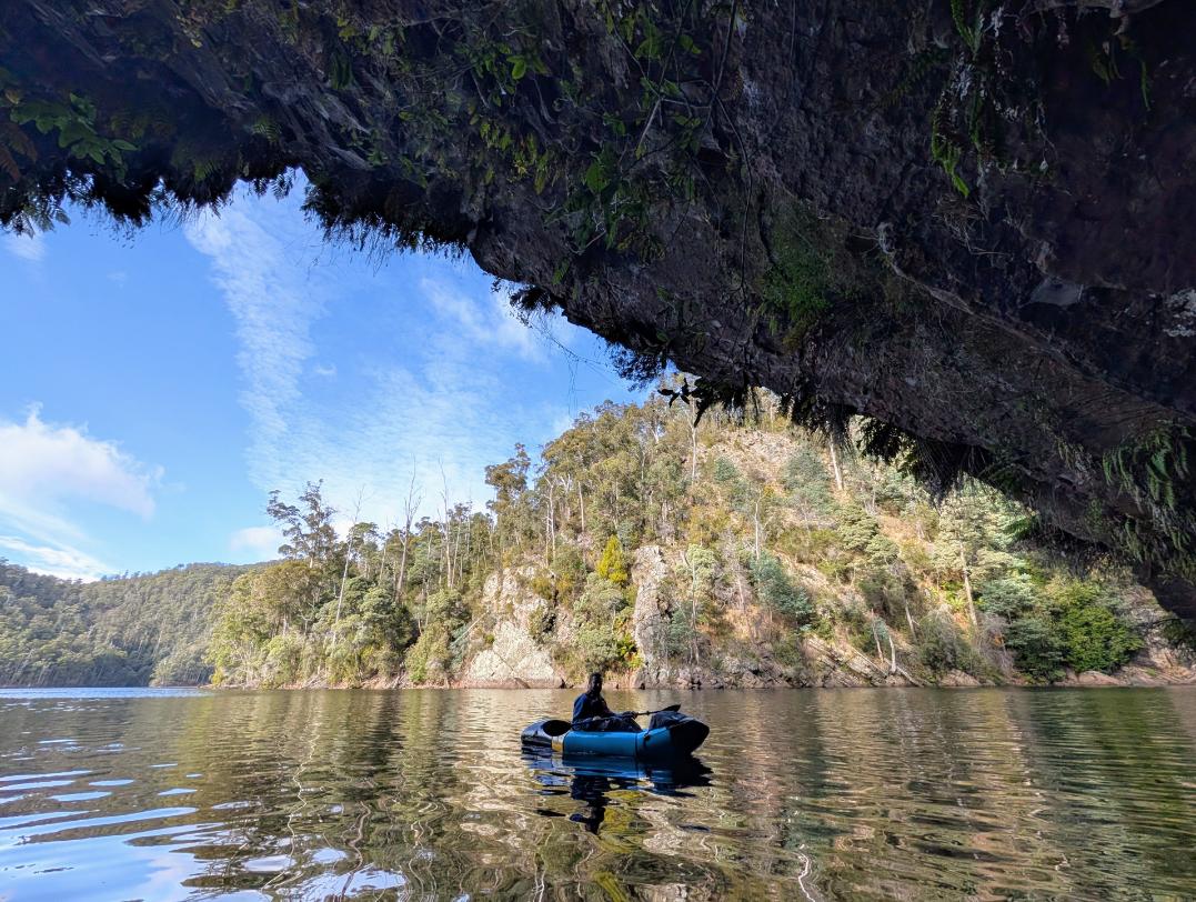
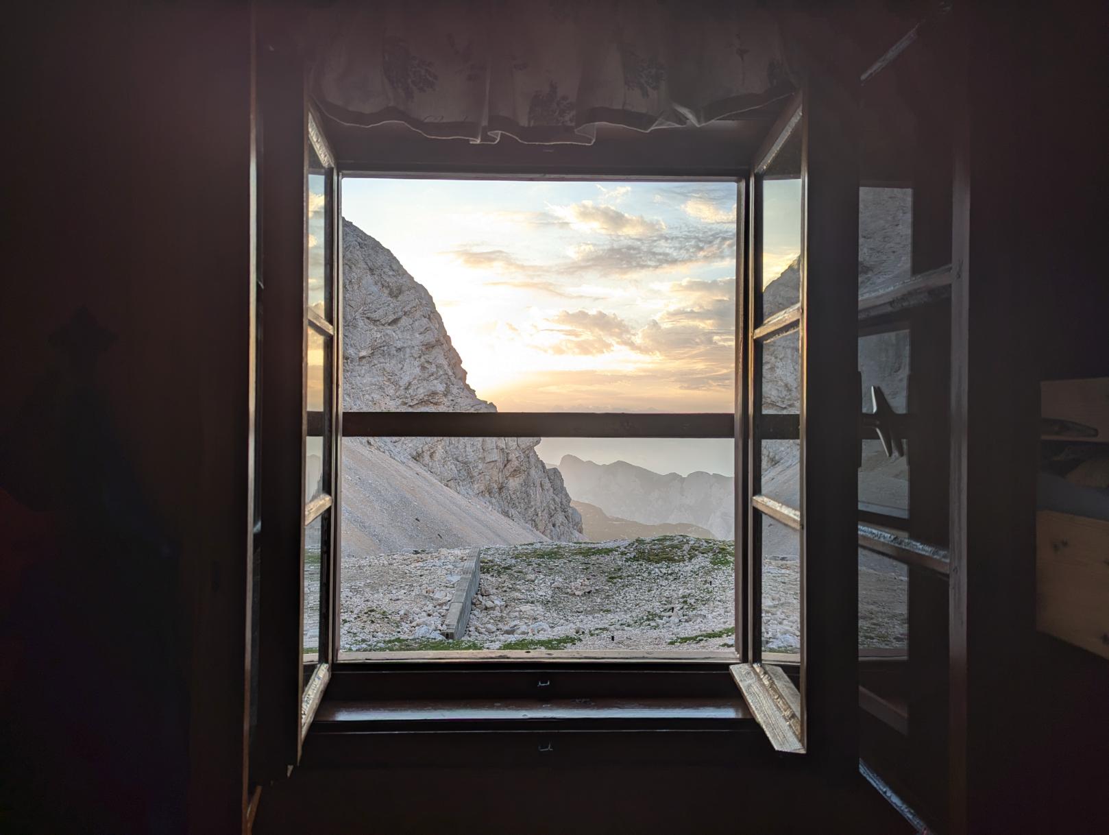
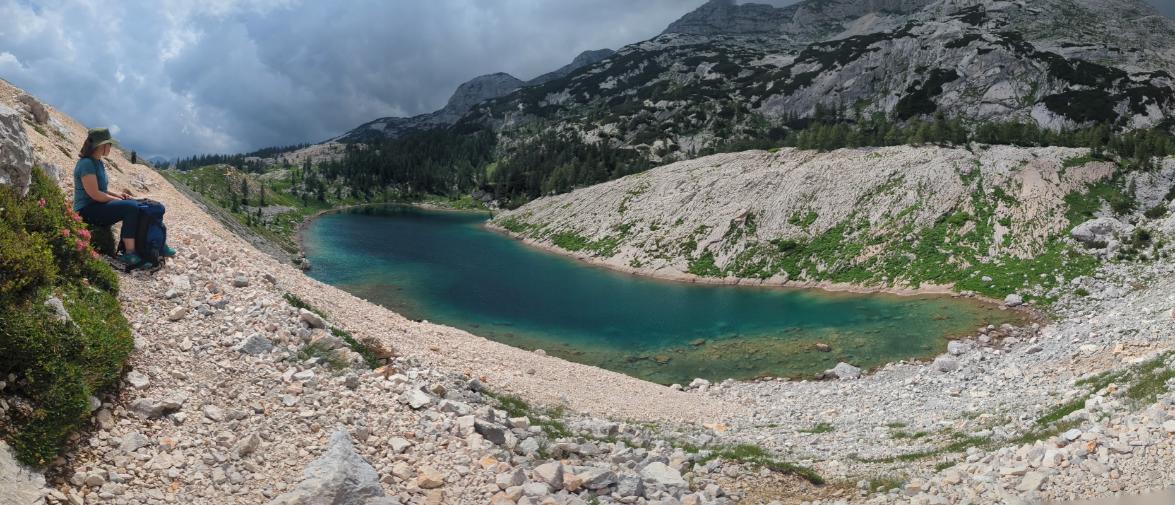
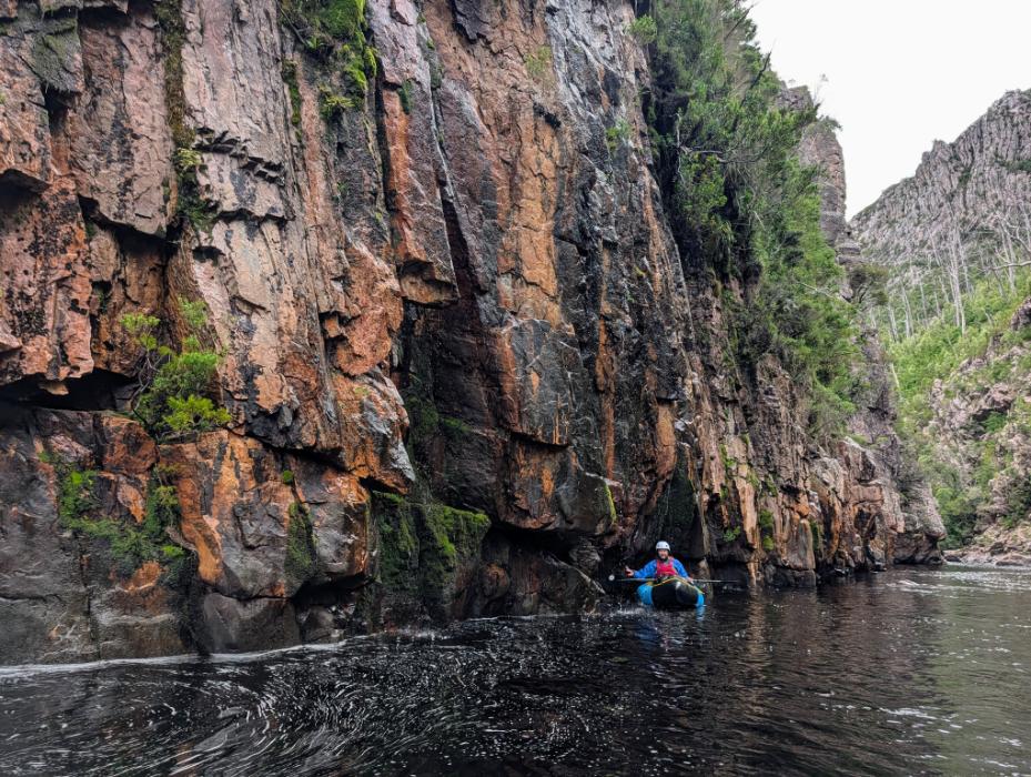
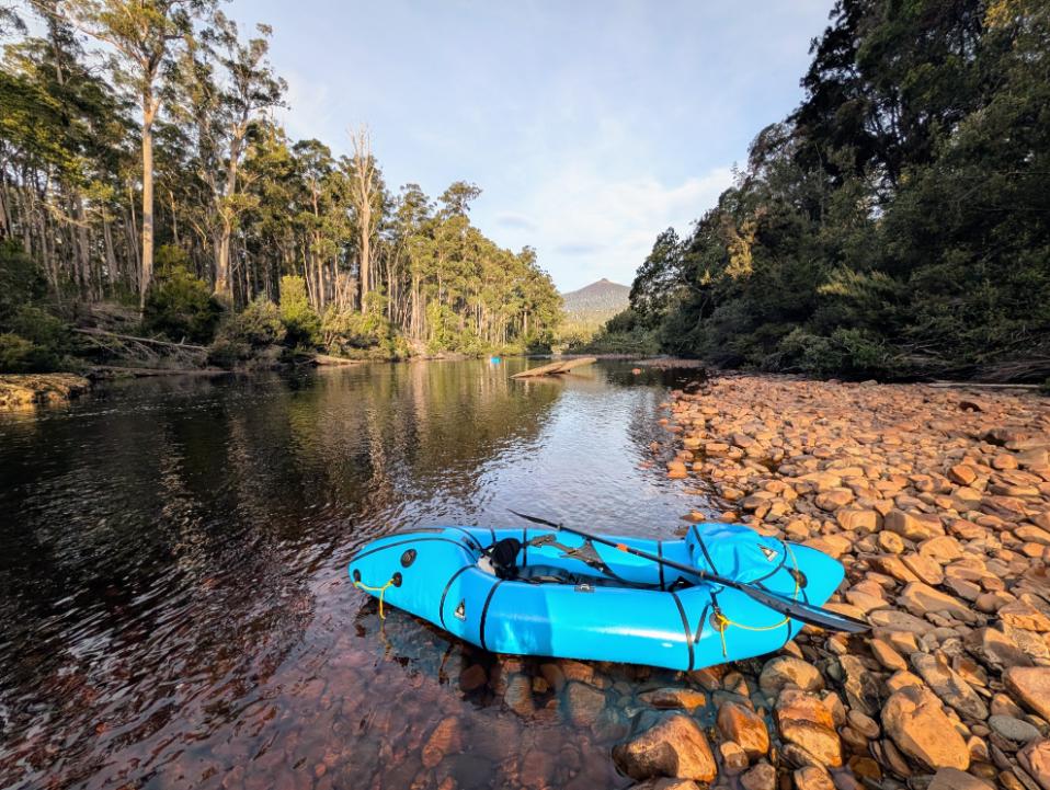
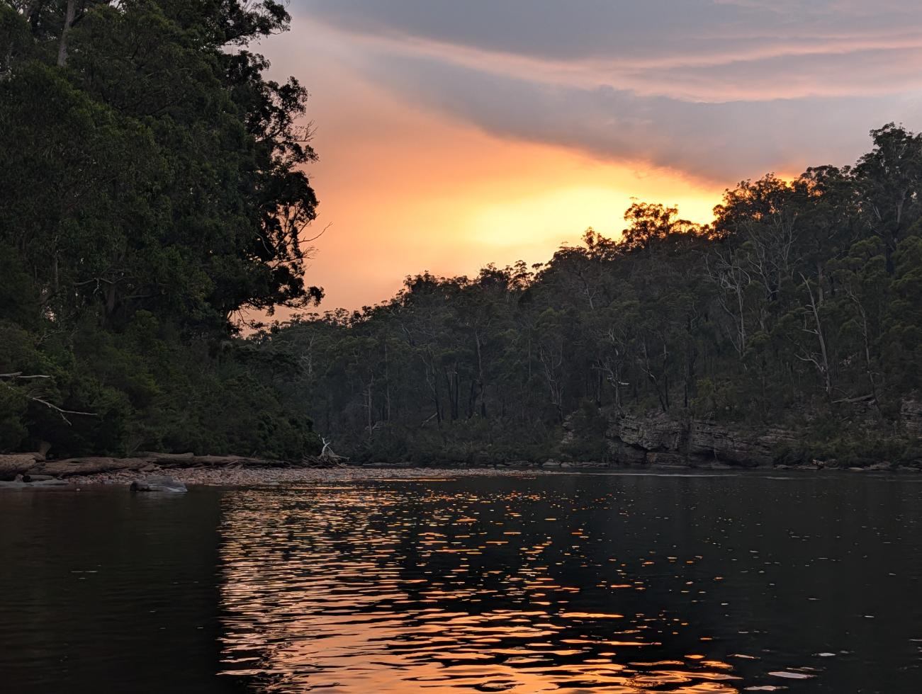
The gorge was an incredible place.
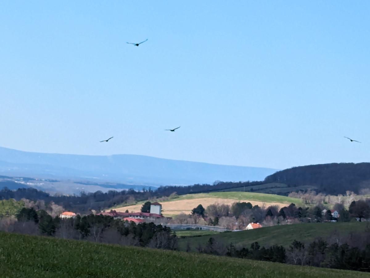
High walls on both sides, fun rapids, lots of birds, big gum trees and huon pines lining the banks. And we had the river entirely to ourselves for days.
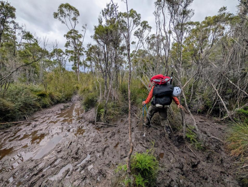
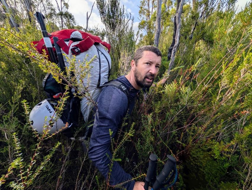
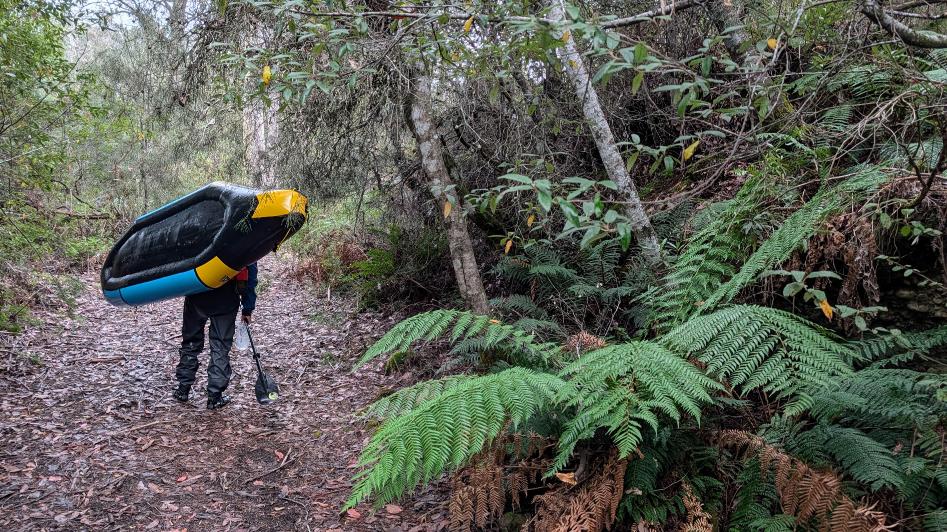
After 2 days of paddling, we took out, turned around and tried to hike back to the car along the Huon Track (plan A). Much like our earlier attempts at off trail travel, the Huon Track was a no-go. The supposed trail barely existed and whenever we found a trace of it, it quickly disappeared into thick, impenetrable bush. After a couple of hours of hard work with little progress, we opted for a Plan B. Return to the river and paddle the remaining miles downstream to Huonville. Once there, we would have to figure out transport back to the car 60 miles away at Scotts Peak dam.
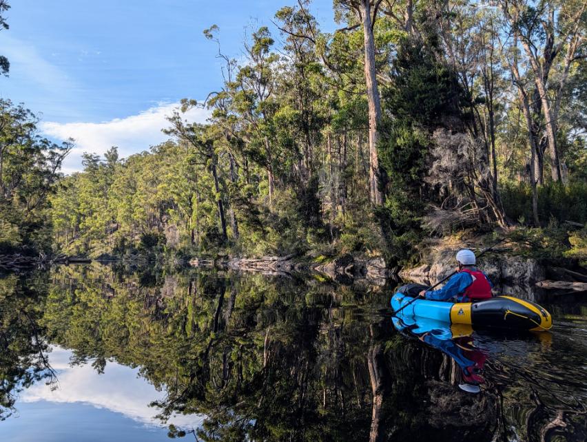
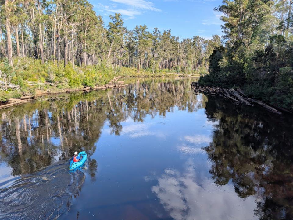
In the end, the transfer was easy to come by (thanks Airtasker!) so running the full river was a much more enjoyable and satisfying trip. Instead of slogging along with heavy packs, we floated down the beautiful river and enjoyed a few days of serene, chill paddling and occasional rapids.
Day 7: Huon River below the gorge (packrafting)
Day 8: Huon River (packrafting)
Day 9: Huon River to Huonville (packrafting)
Almost immediately after stepping foot on dry land, we were accosted by a drunk guy who claimed to be James Joyce from Ireland. When we told him we were headed back to Hobart, he said he would join us. Haha! This was our first interaction with another human being in six days, welcome back to the real world. Wild.
All-in-all, it was a fantastic expedition and has me fired up for future missions! Packrafts are so much fun and open up so many possibilities for backcountry expeditions.
Days 10: Transfer from Hobart / flat battery / drive to Mt Field
We used Airtasker to set up a transfer from Hobart back to Pete’s car in the Scots Peak Dam area. Our driver was a young guy, very friendly, who drove us back at breakneck speed.
The car was still there, but it wouldn’t start because the battery was dead. Argh!
This could have been quite serious because it’s such a remote area. There were two other cars in the parking area at the trailhead, but these people could be out for days still. And since we’re at the very end of a remote gravel road in the National Park, there’s not exactly much passing traffic.
We tried pushing the car, but could barely budge it, since it was parked at a slight incline. Luckily, within about half an hour of arriving back at the car, a Parks Tasmania crew (thanks Baz and Andy!) were passing to pick up an excavator with a dead battery. We flagged them down and it was a trifle to get the car going again. What a stroke of luck!
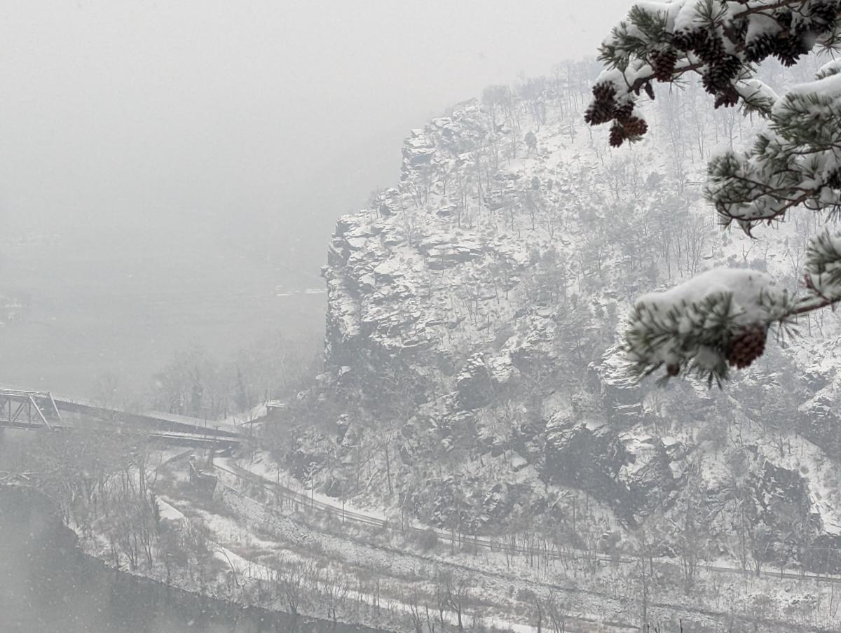
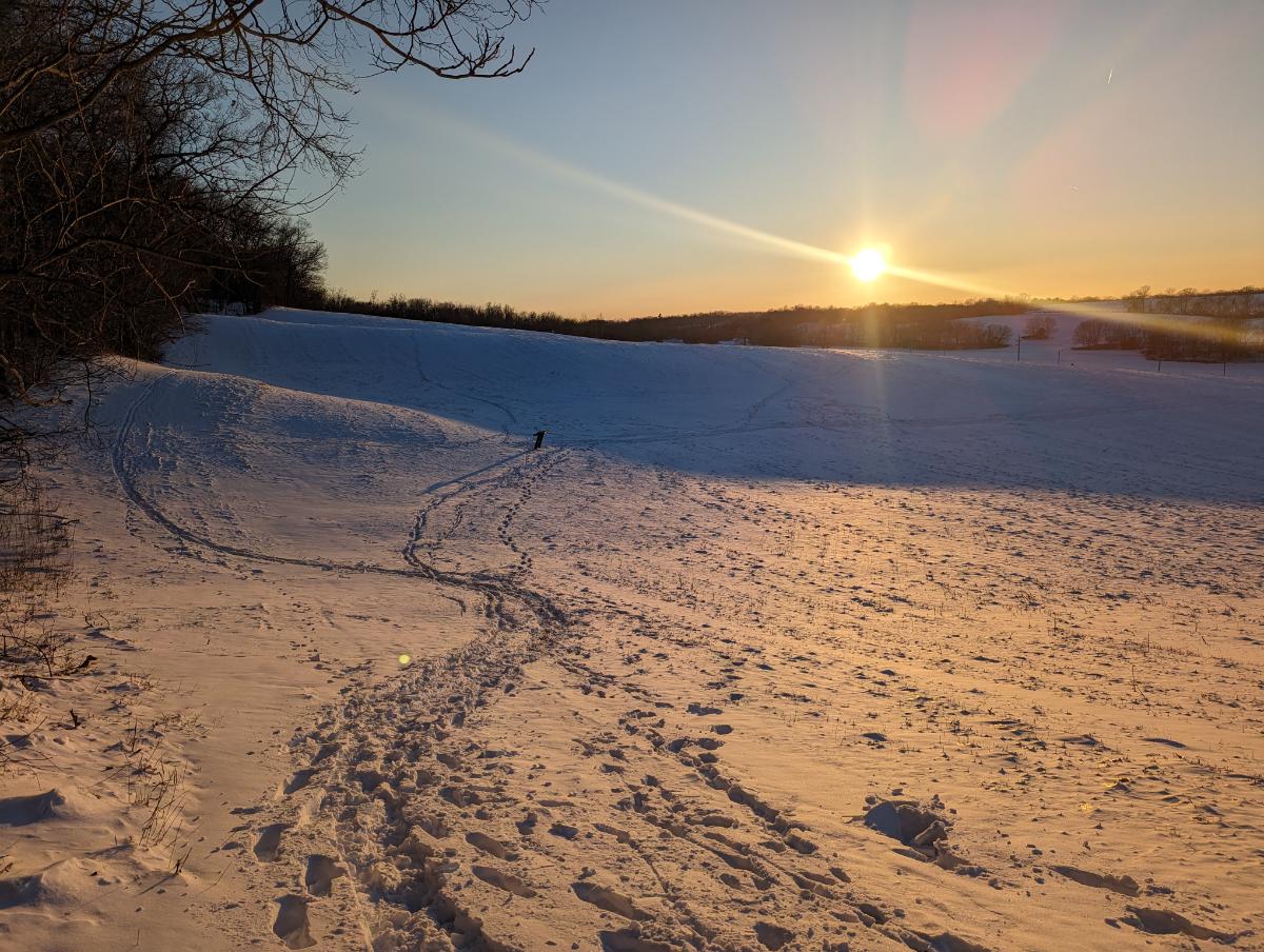
Since we needed to drive around for a while to charge the battery up and the latest weather forecast indicated a dump of snow was on the way, we headed north to the Mount Field area.
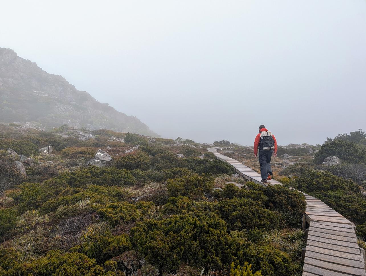
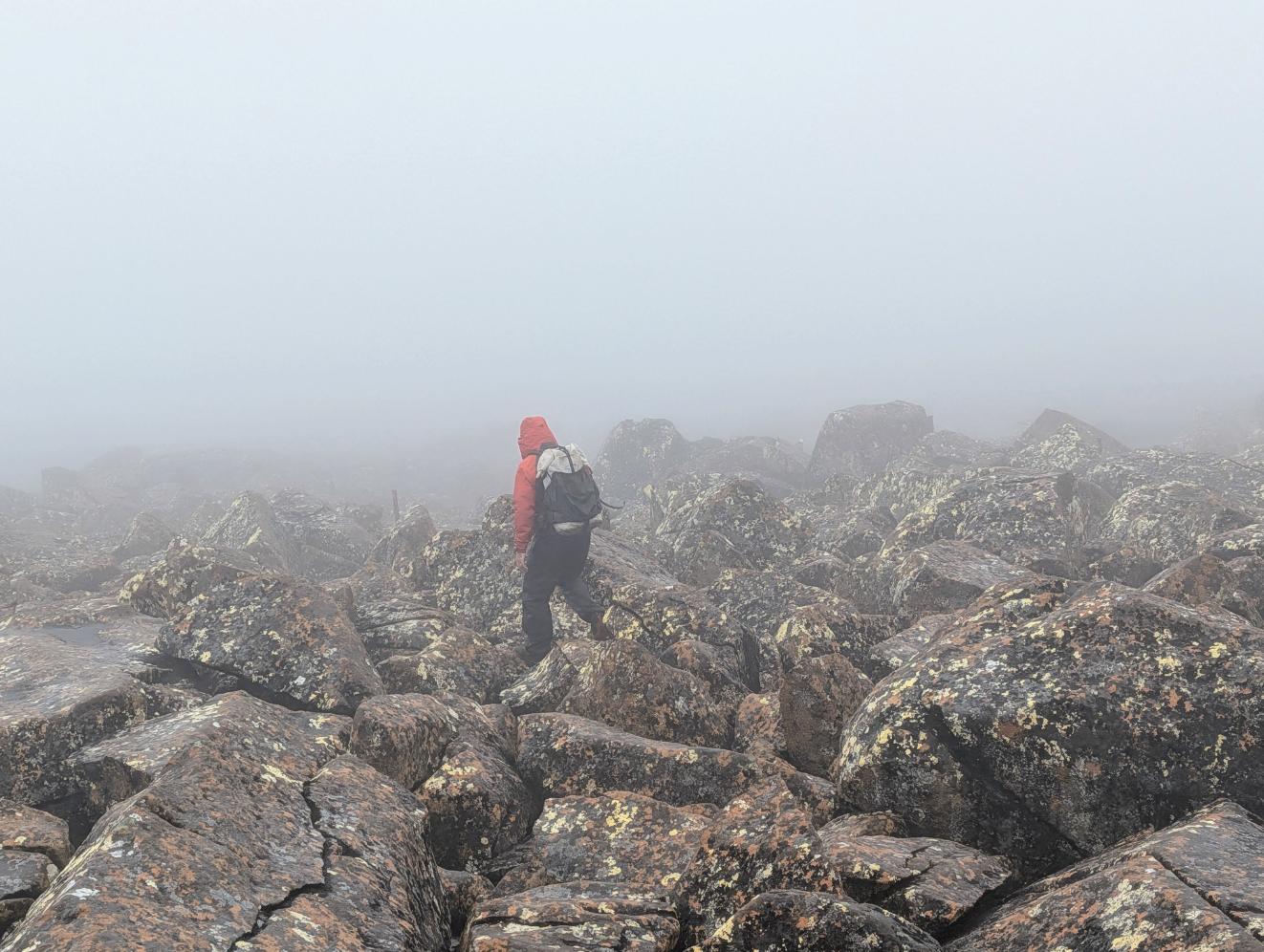
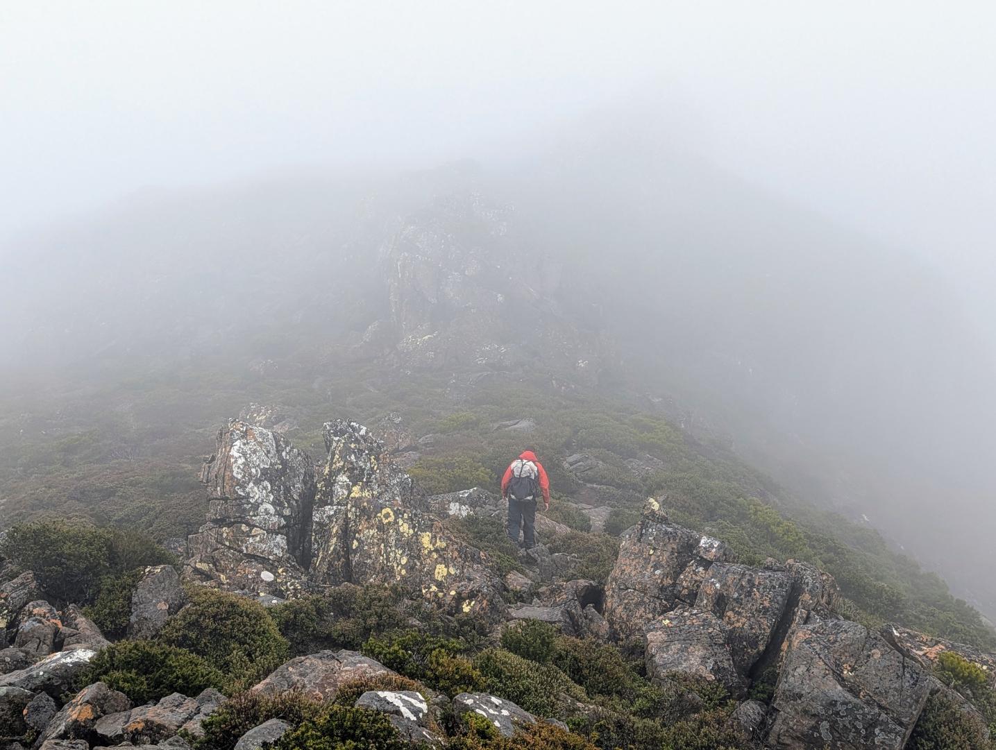
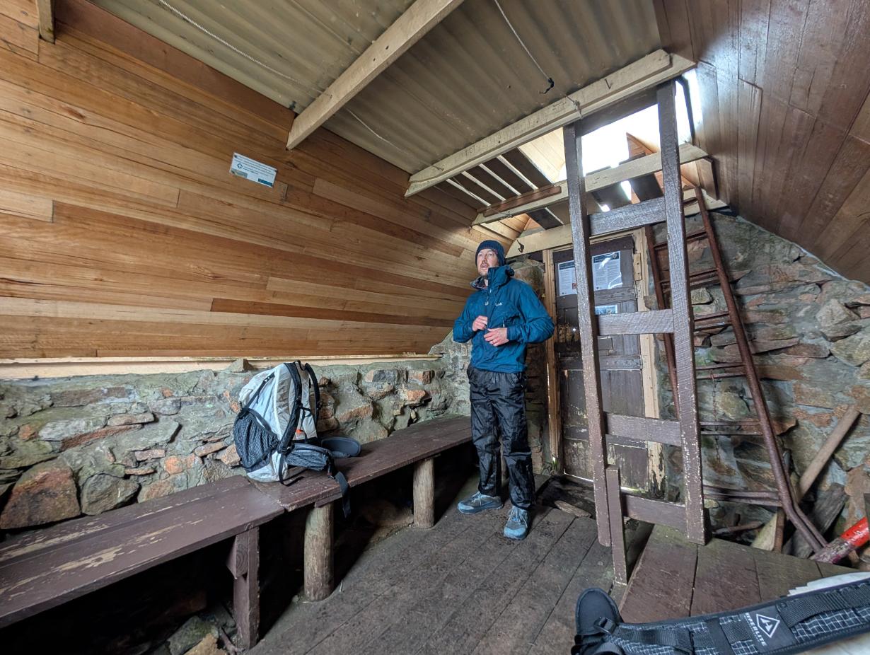
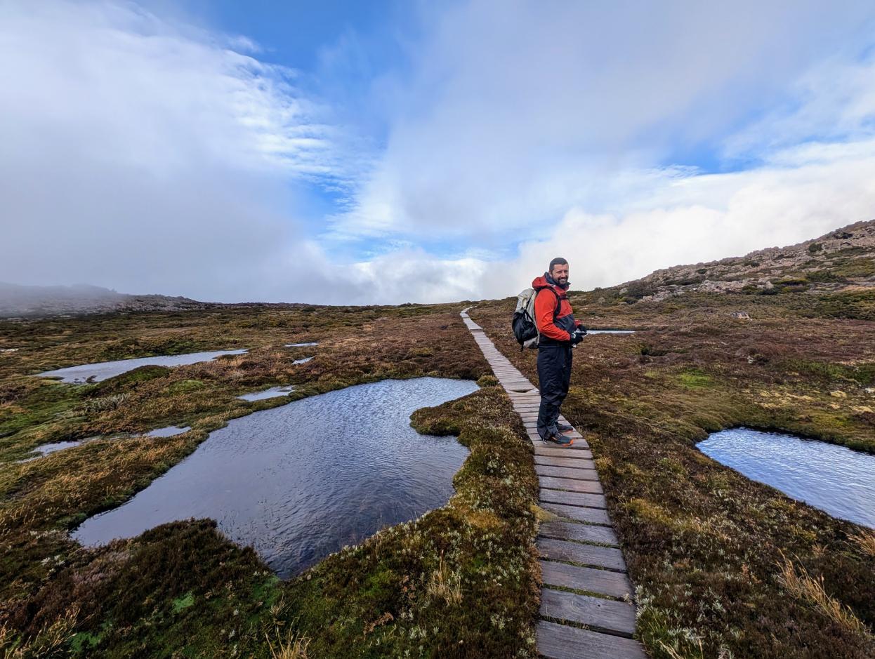
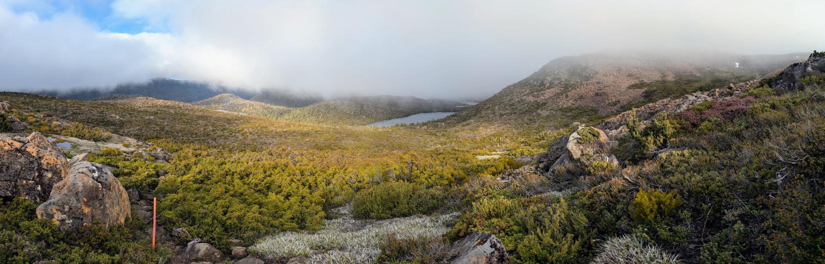
Day 11: Mt Field West & Tarn Shelf circuit hike
Brilliant day, despite the foul conditions in the first half of the day.
Day 12: Packraft Training on the River Mersey
Another day of mixed weather so we spent half a day practicing eddy turns and ferrying in a fast, pushy river environment on the River Mersey.
Day 13: Packrafting on Lake Barrington