12 November – 14 November 2022
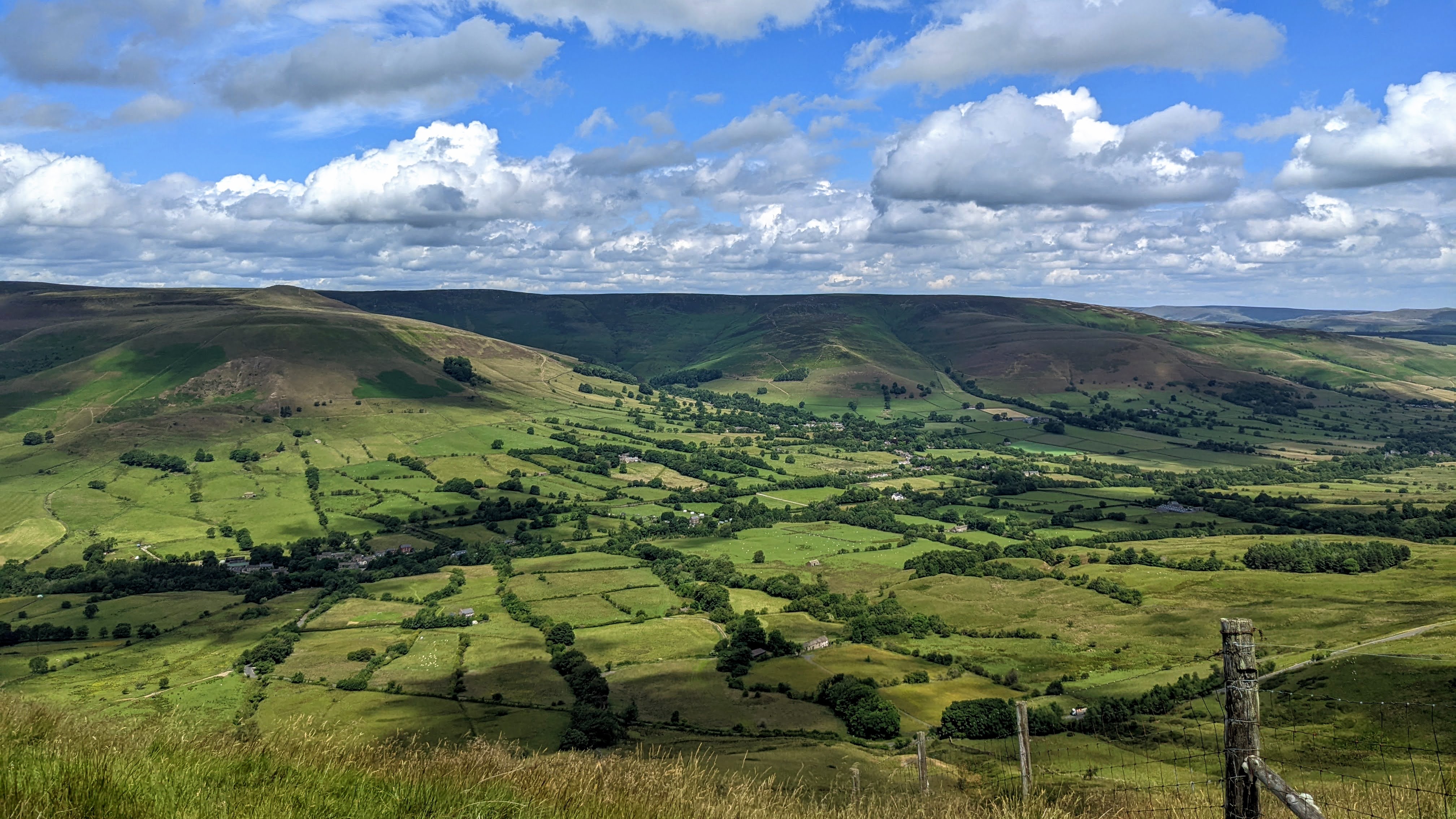
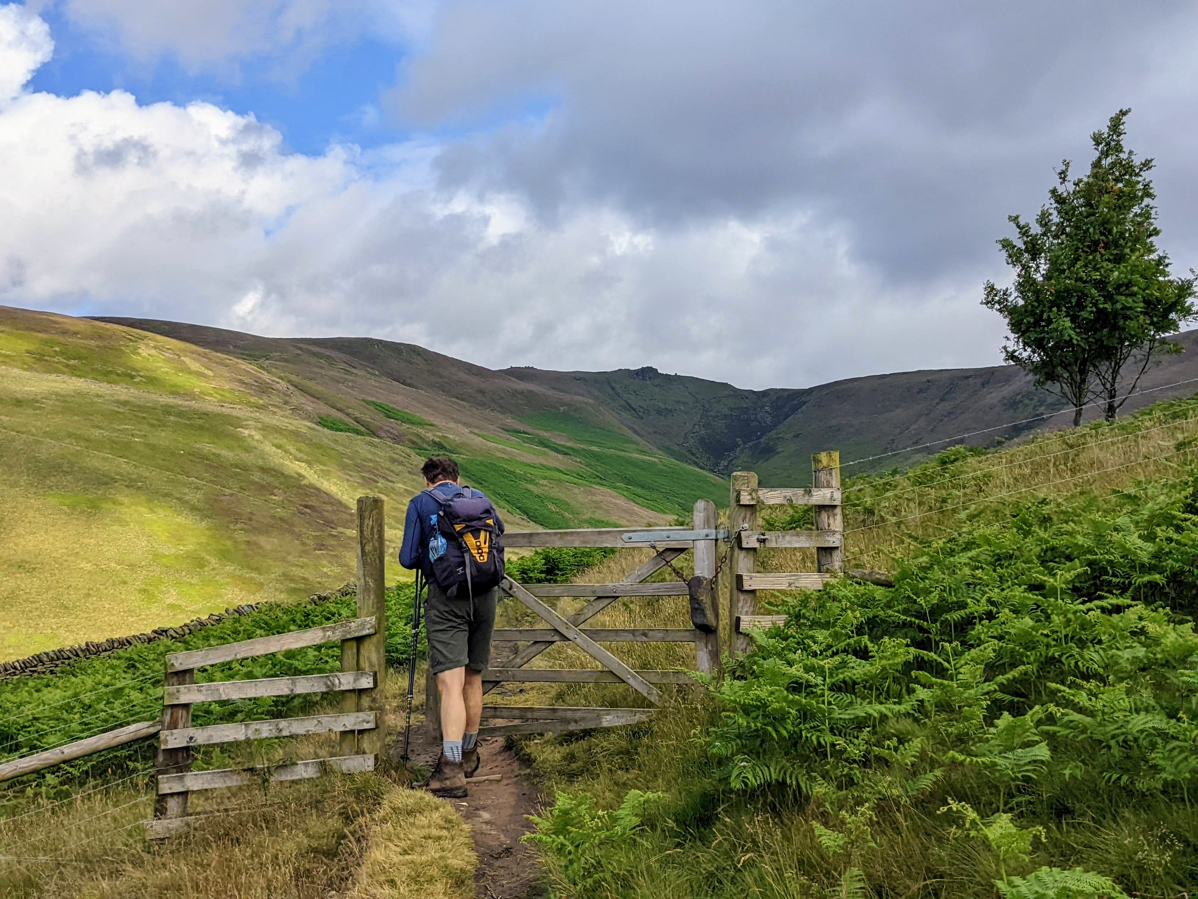
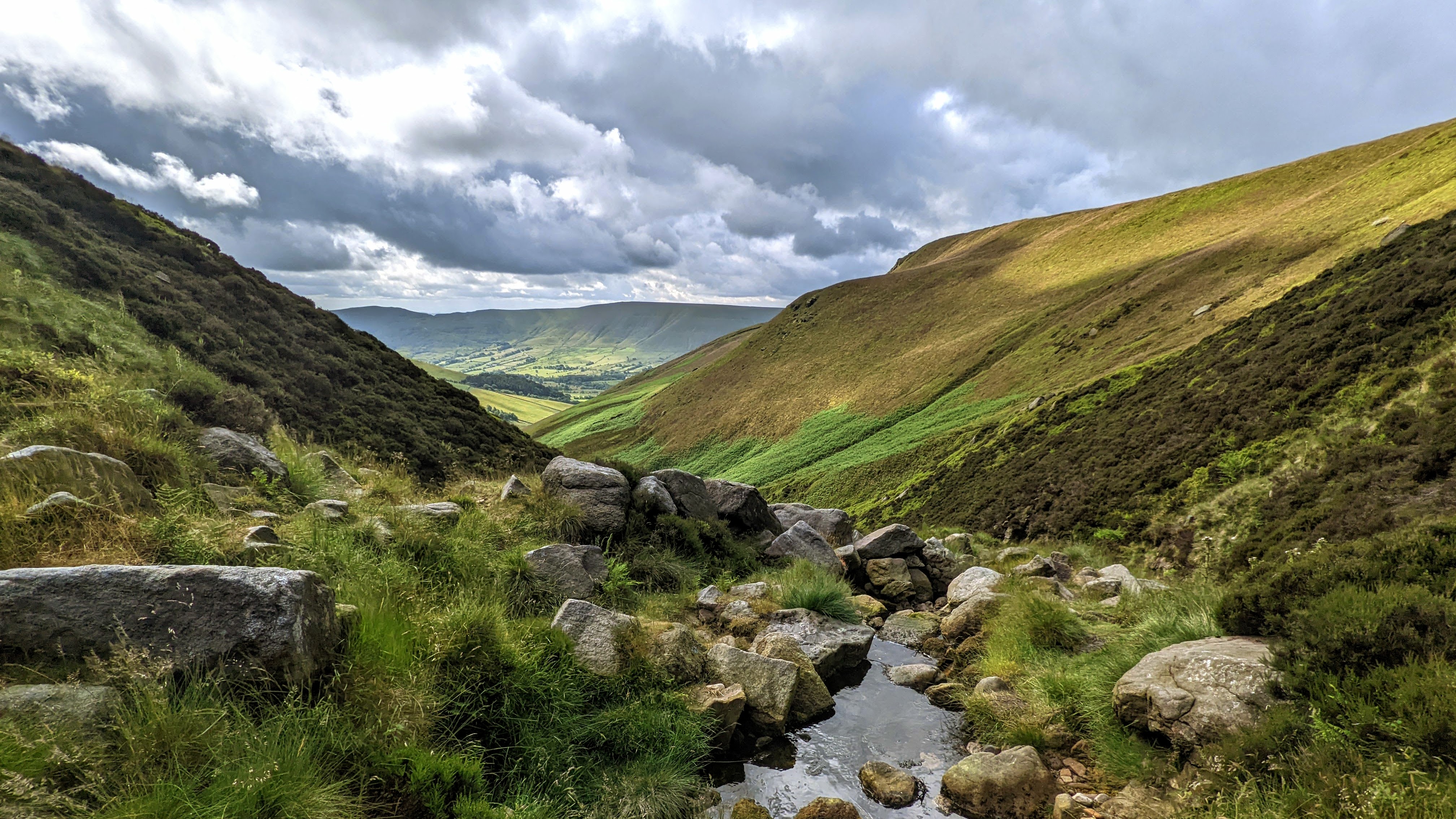
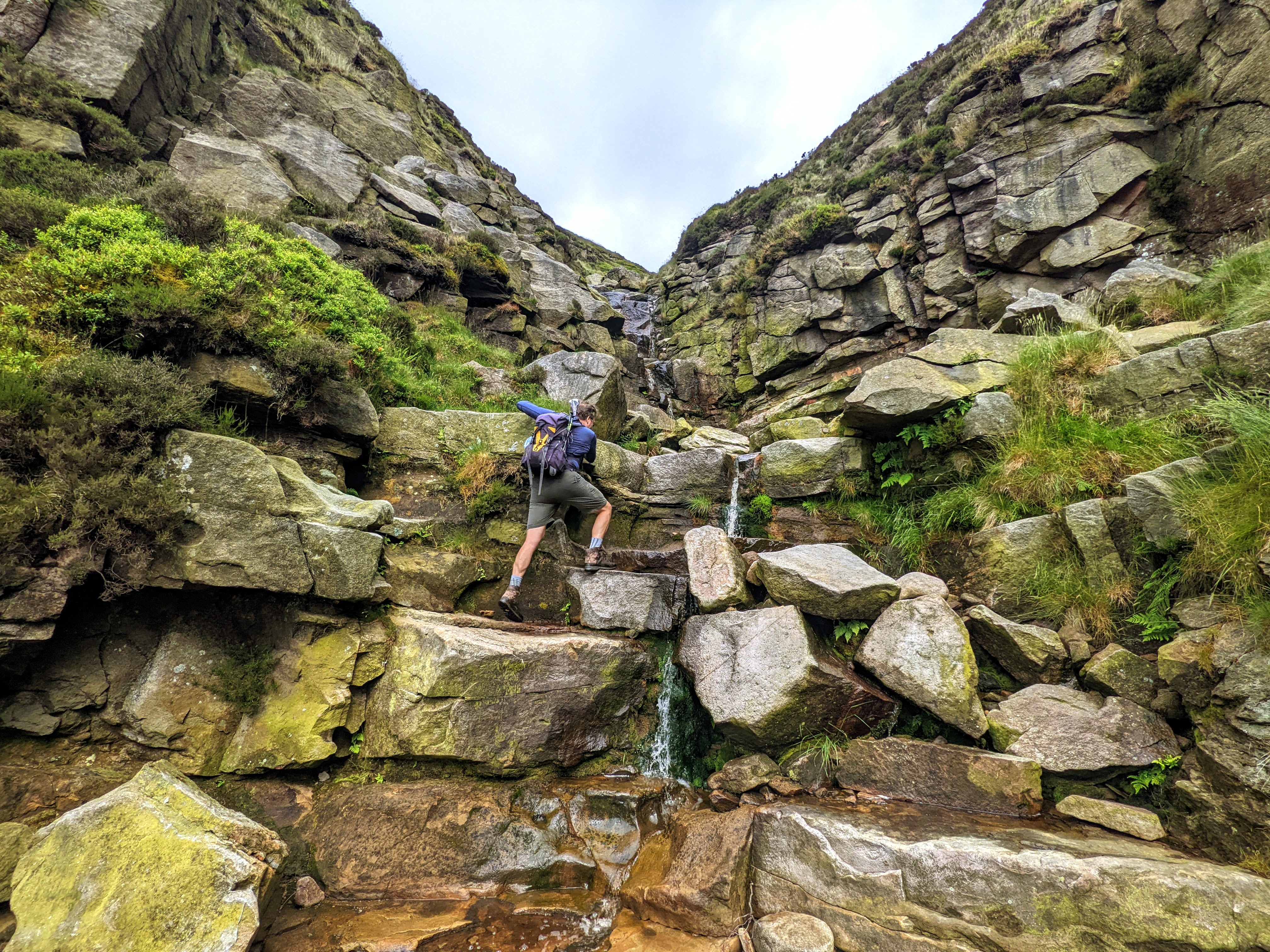
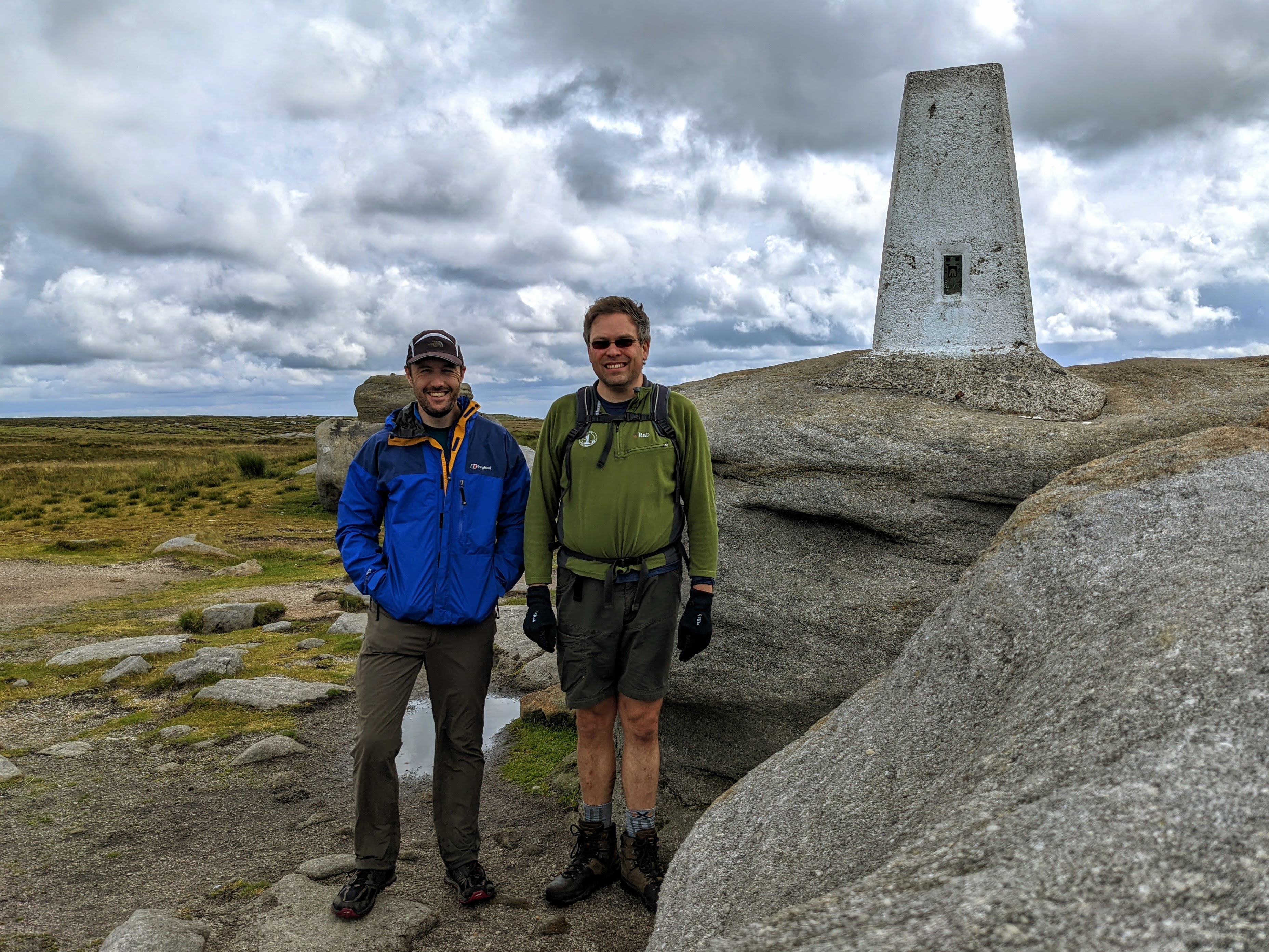
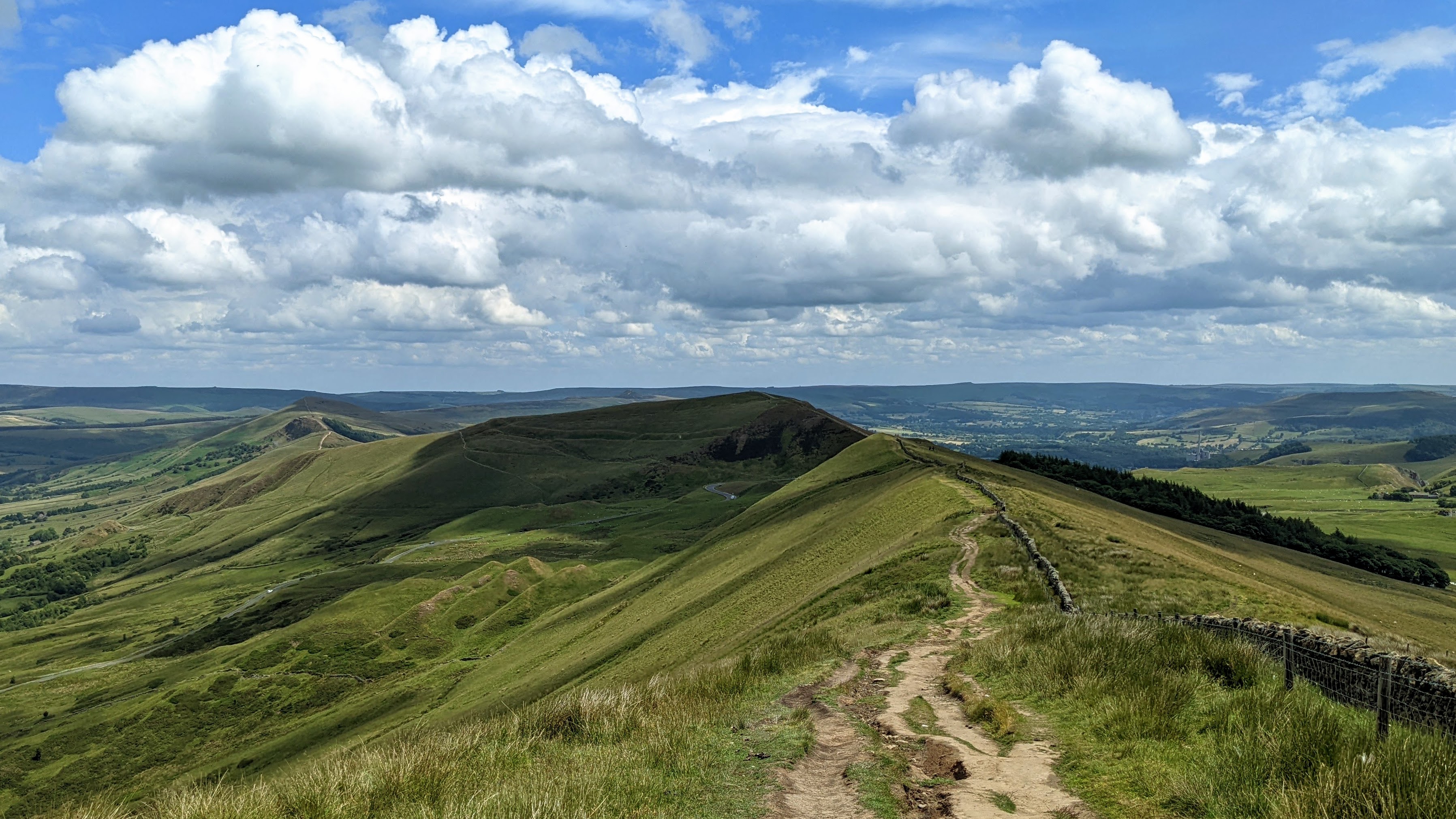
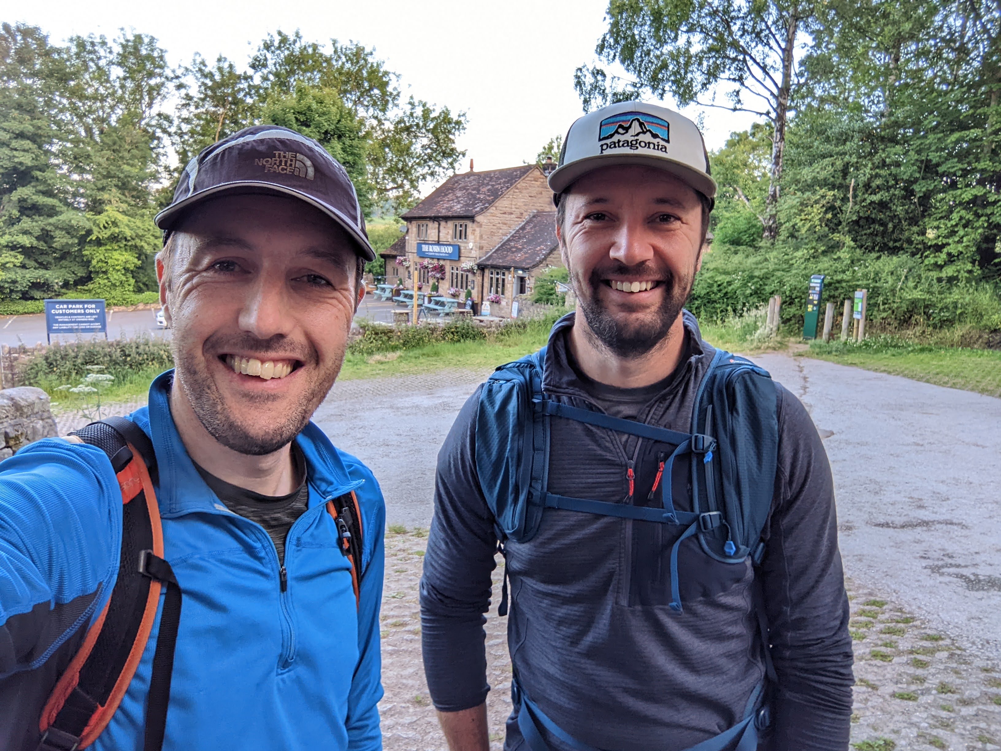
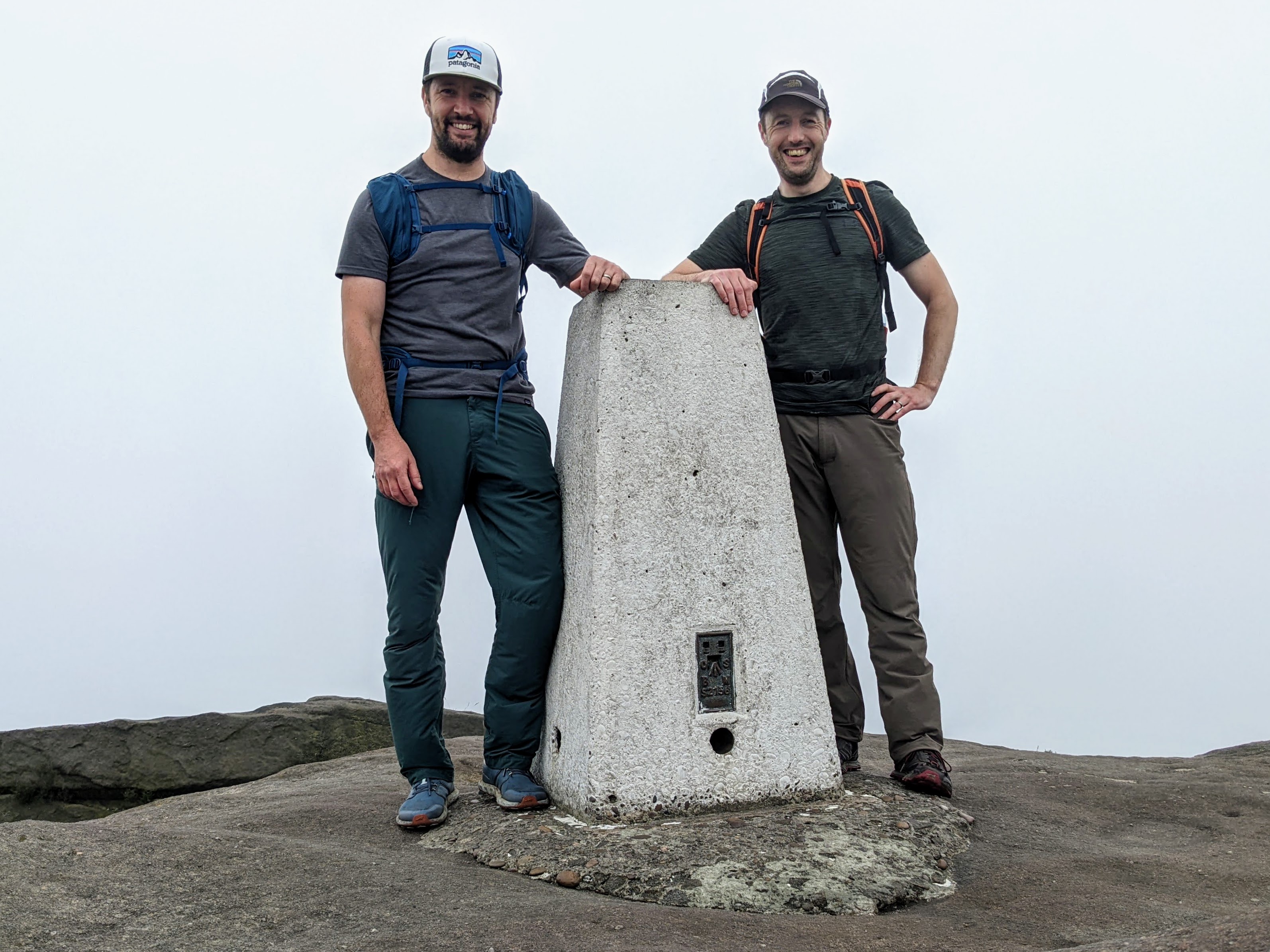
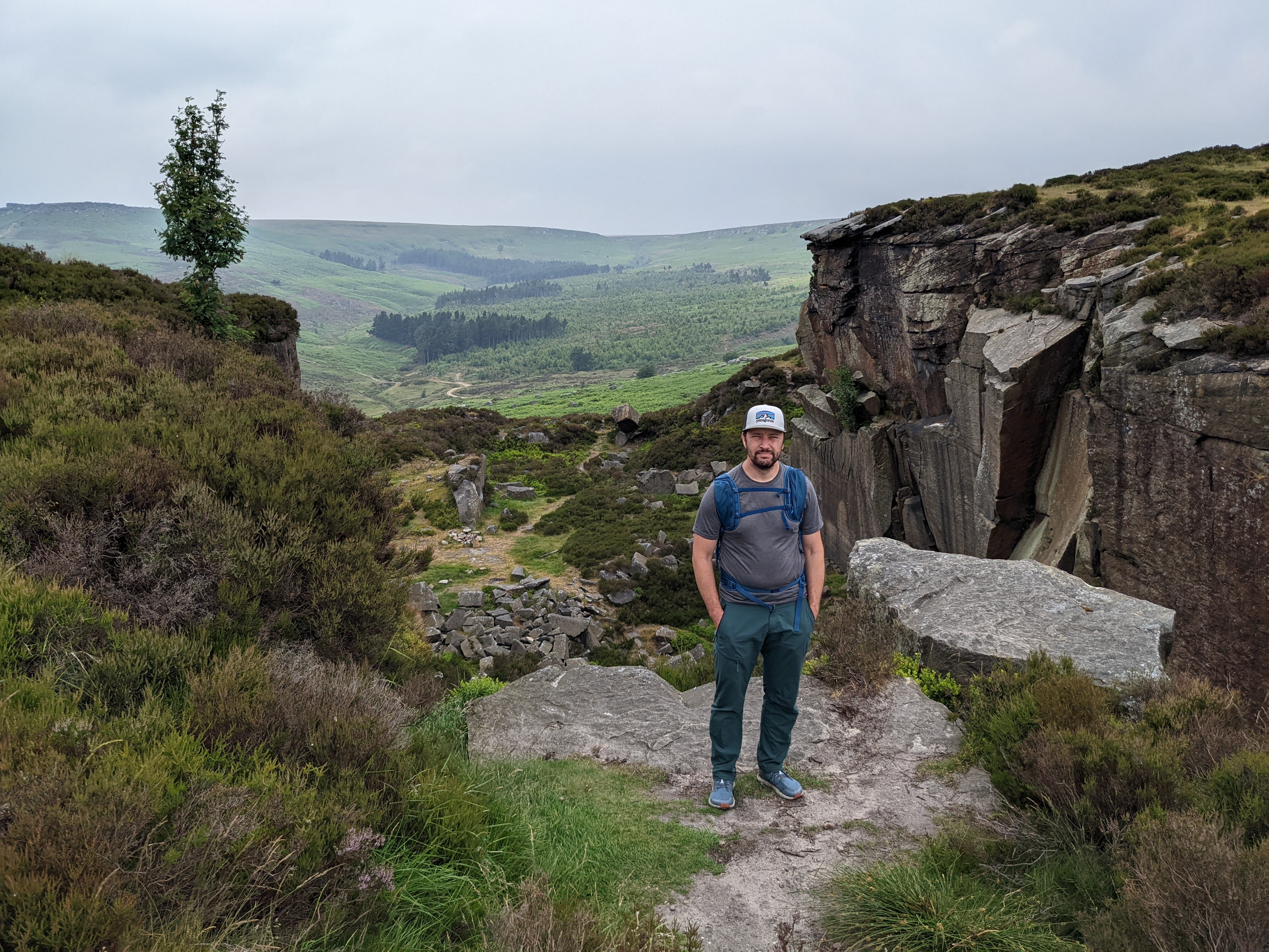
My good friend Alistair — who I walked with in the Peak District earlier this year — came to Harpers Ferry for a visit and we got out for a 3-day backpack along my local section of Appalachian Trail: the infamous roller coaster section.
We had a fabulous three days, starting with a warm shorts and t-shirt weather and ending with below-freezing conditions, a true changing of the seasons.
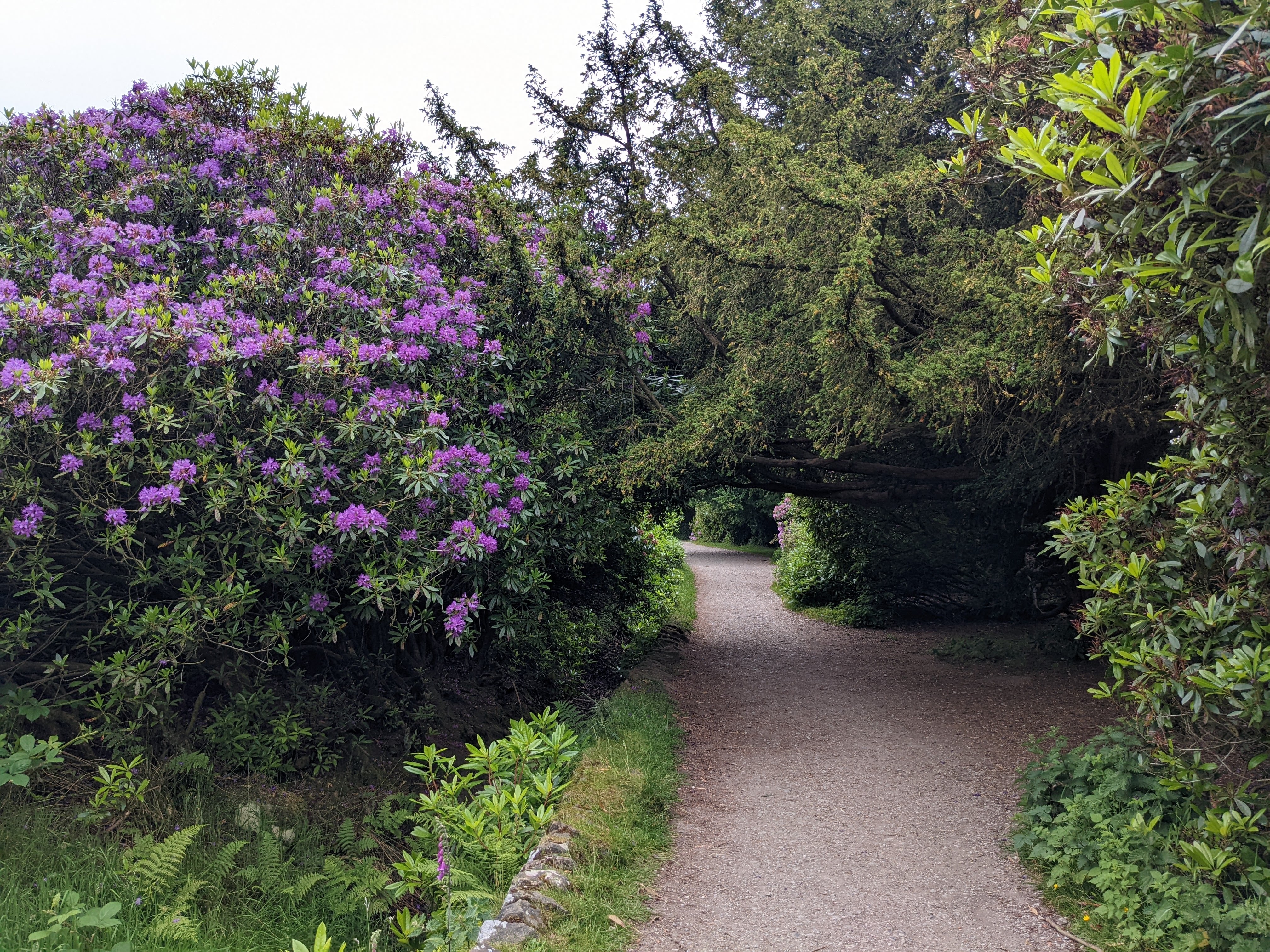
Here’s a selection of photos from our hike north along the AT. Enjoy!
Route: Ashby Gap to Harpers Ferry

- Day 1 (red): 11.1 miles / 2,720 ft ascent / 4 hrs 59 minutes walking time
- Day 2 (purple): 15.2 miles / 3,653 ft ascent / 6 hrs 21 minutes walking time
- Day 3 (blue): 12.2 miles / 1,564 ft ascent / 4 hrs 13 minutes walking time
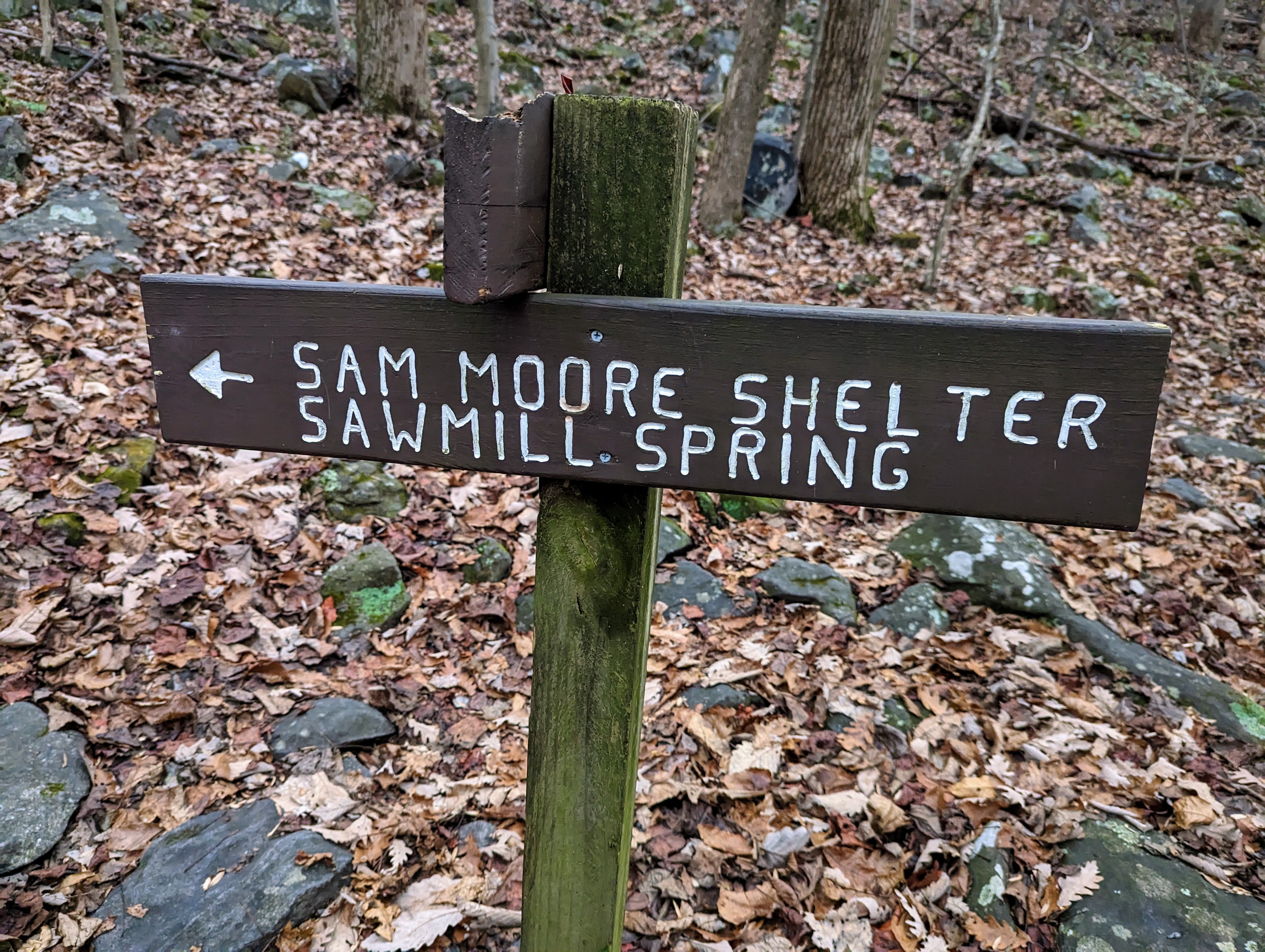
Day 1: Ashby Gap to Sam Moore shelter
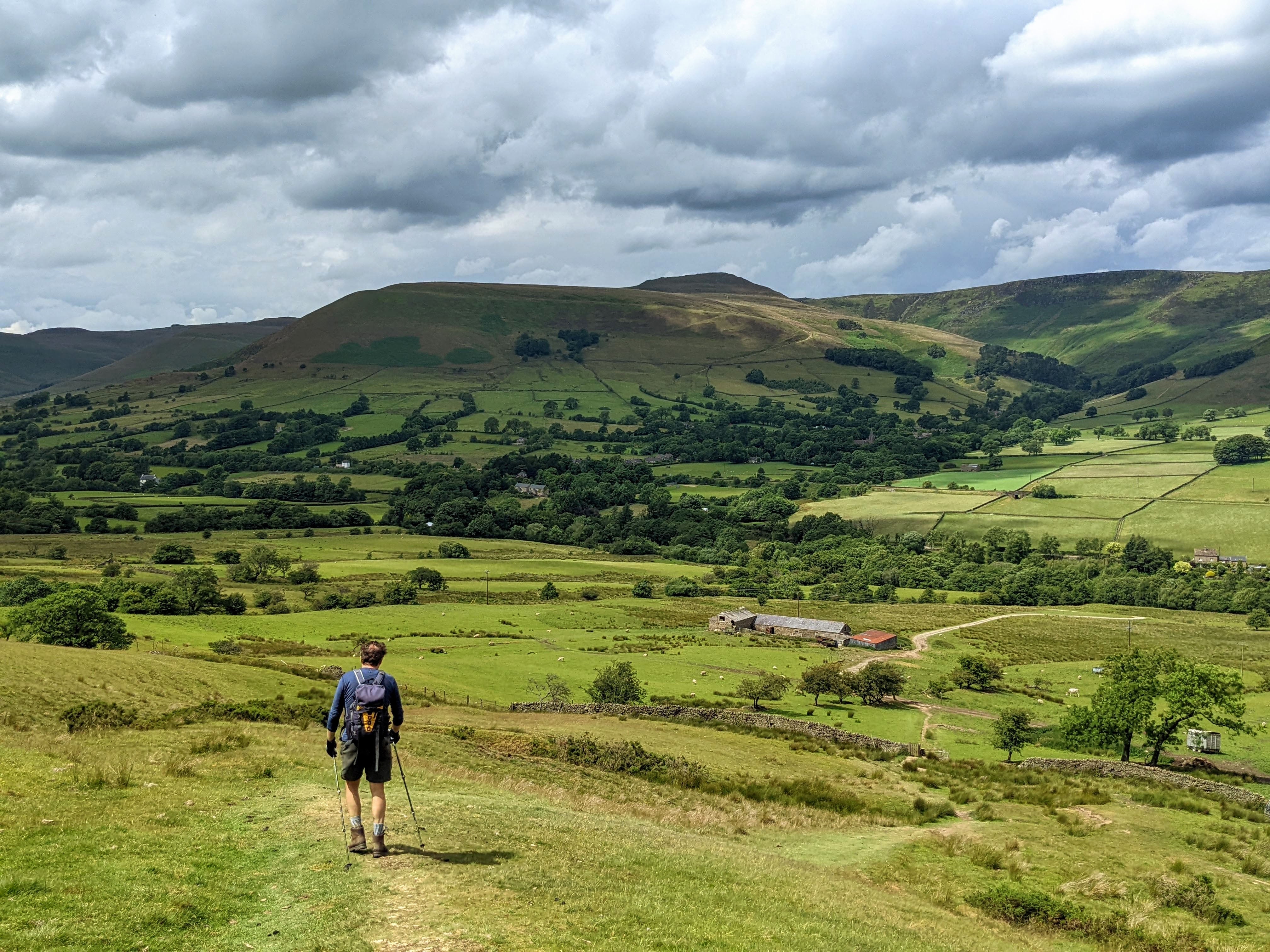
Lexi and the boys dropped us off at Ashby Gap, and walked with us for the first mile or so, before they turned around back to the car. It was wonderful to share the start of the trip with the family. Hopefully they’ll want to come with me when they’re a little older.

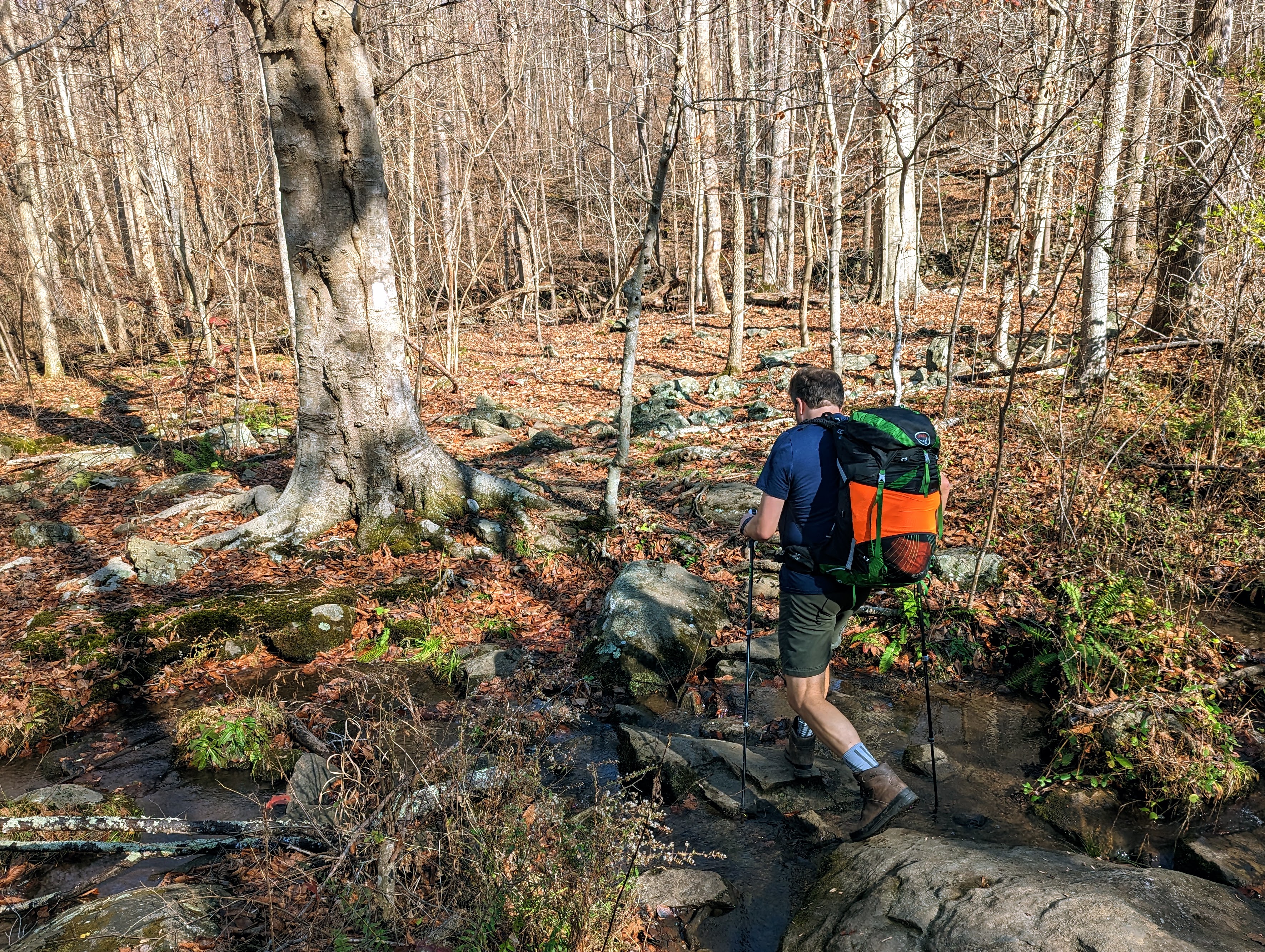

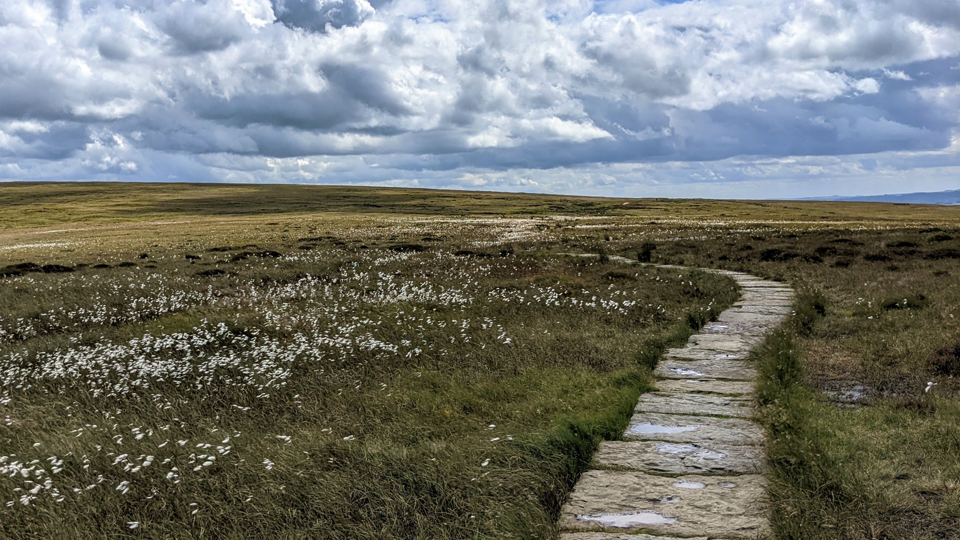
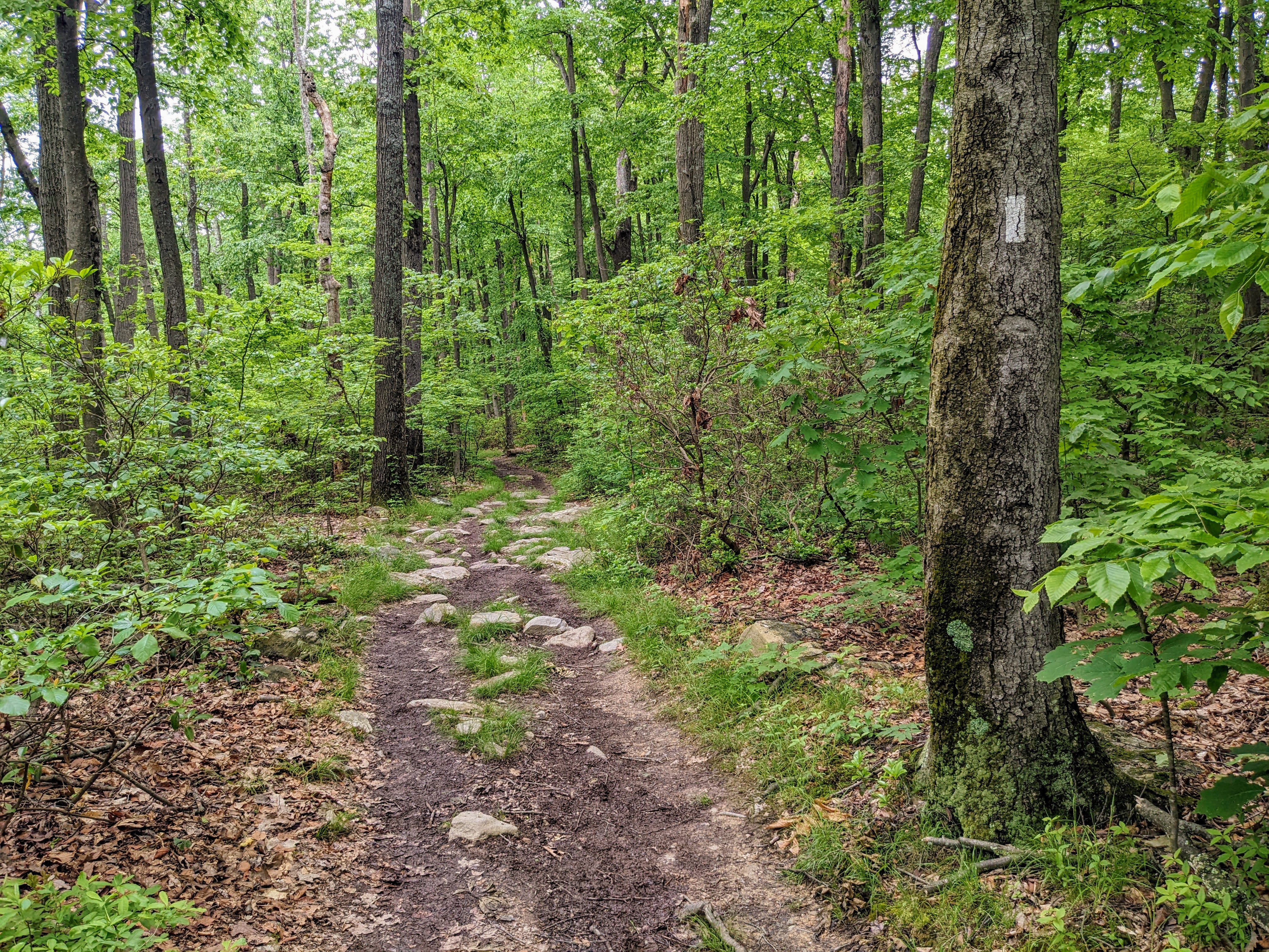
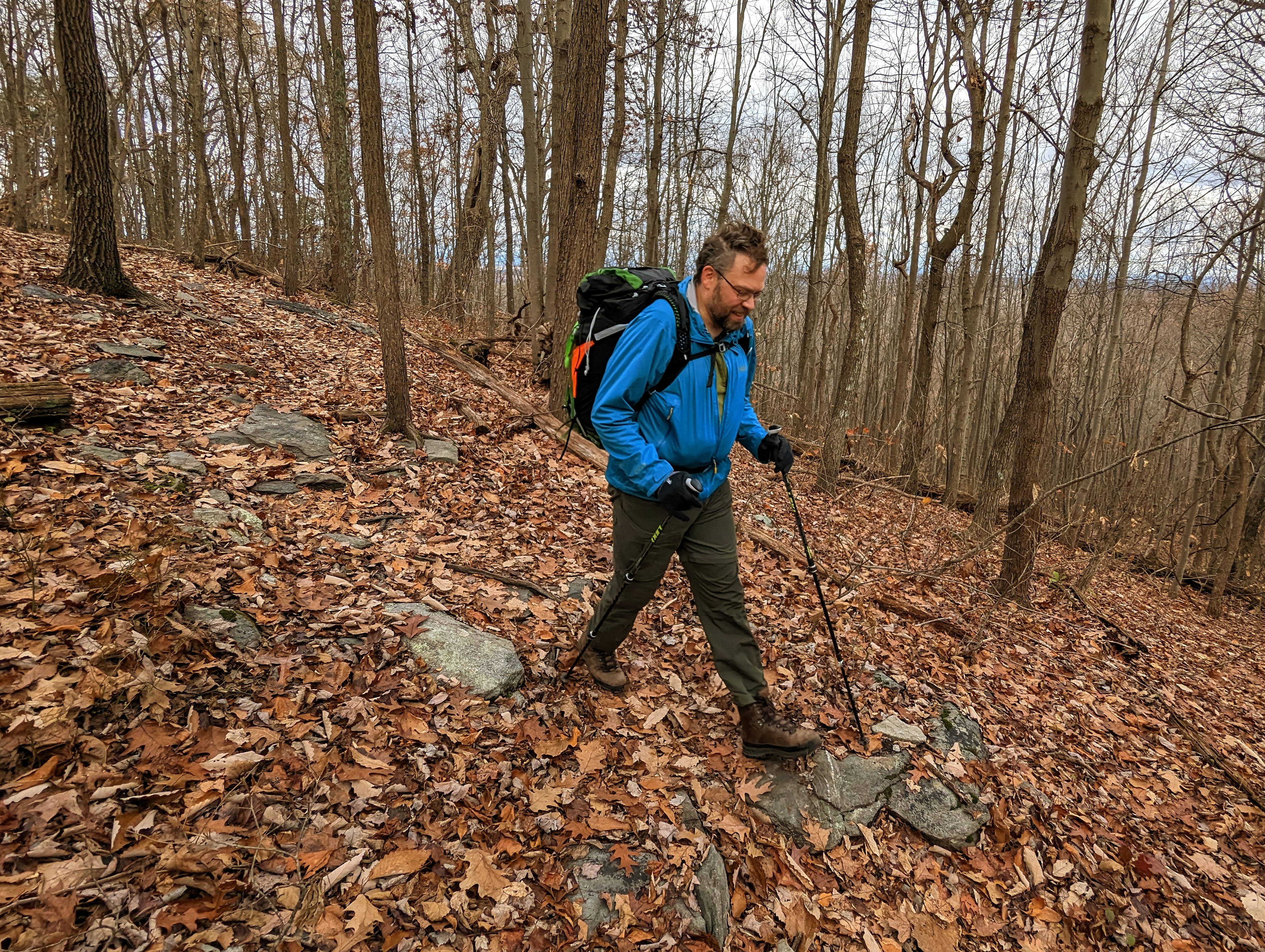
This section of trail is known as the roller coaster, and for good measure. Over 13 miles, it ascends and descends ten ridges! We certainly felt it in our legs.
We were slightly slower than expected, arriving on the summit of Buzzard Hill in the late afternoon. The light was beautiful. I’ve climbed Buzzard Hill a few times before, but never from the south.


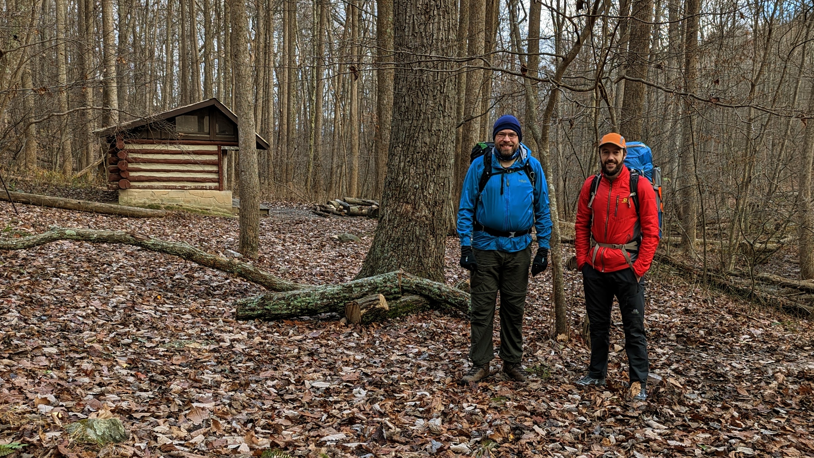
We left the summit of Buzzard Hill to walk the final mile and a half to the Sam Moore shelter, where we camped for the night.
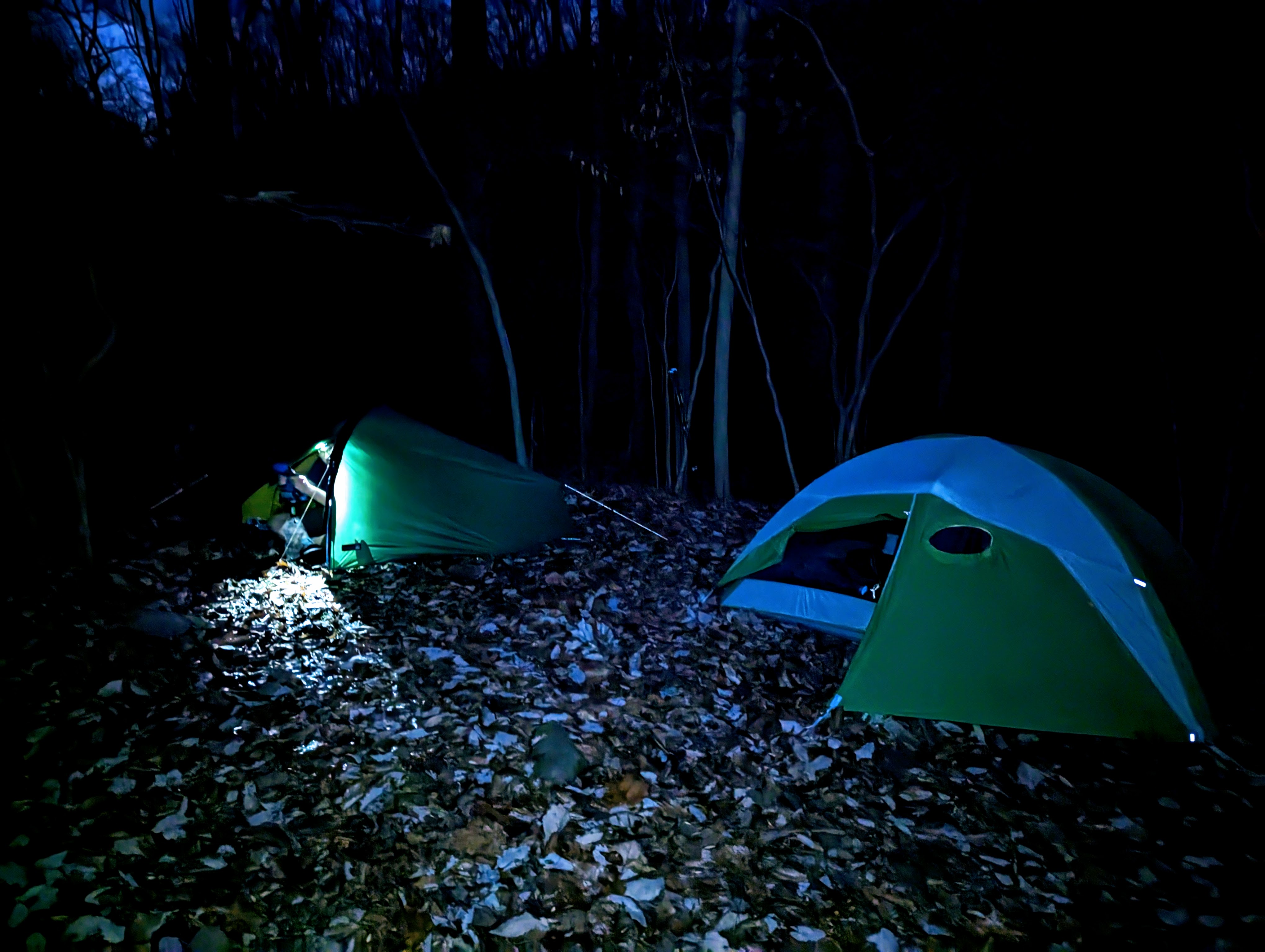
We arrived just before dark — around 5pm this time of year — and had just enough light to locate a couple of suitable tent sites and find water in the spring.
I had iodine tablets with me for purification, but we both used Alistair’s Sawyer Mini filter, which was preferable as it didn’t alter the taste of the water.

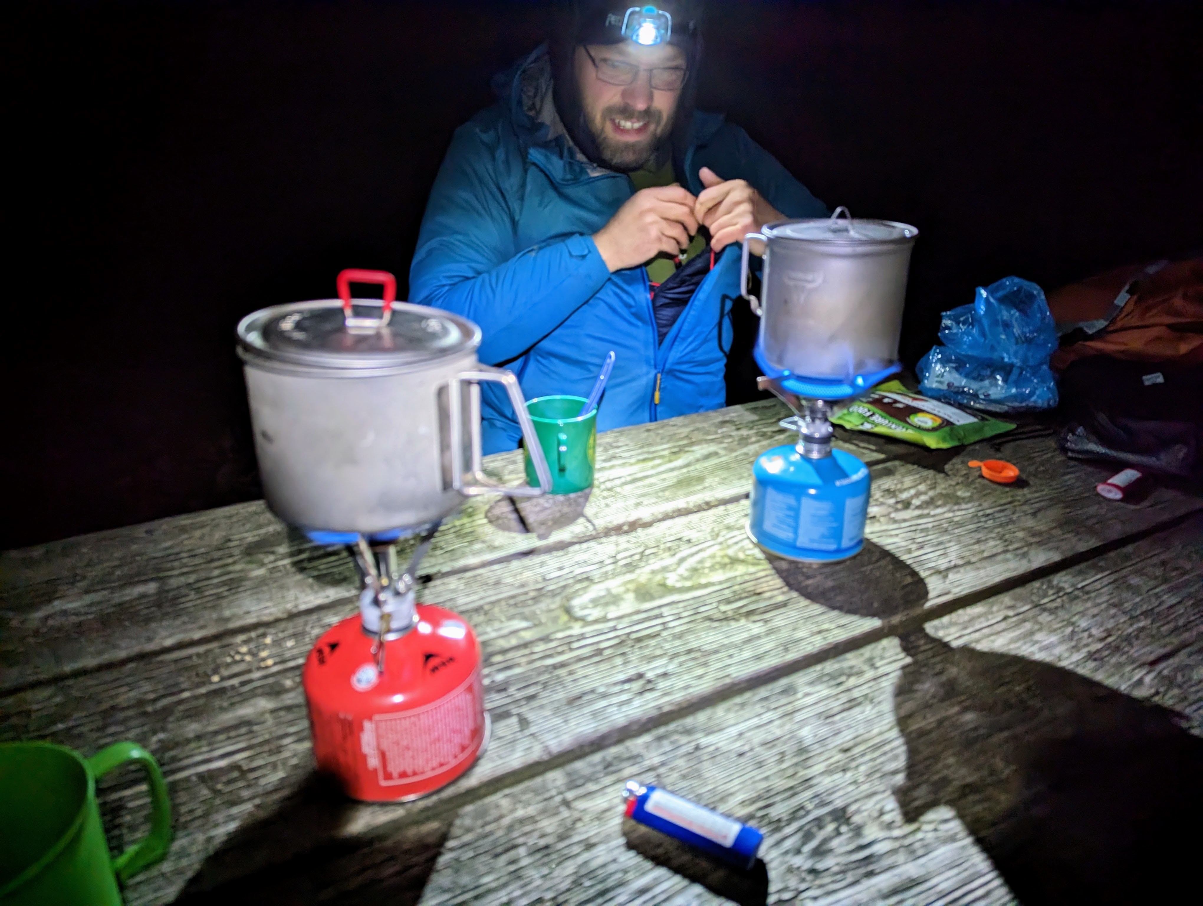
After the tents were pitched, we cooked and ate dinner with three other hikers at the shelter picnic area. One of the other hikers remarked “I’m surprised to see others out here! I thought I’d be the only one mad enough to camp out at this time of year!”
The warmth of the day continued into the evening, so it was comfortable to sit out, eating and chatting under head torch. The temperature dropped during the night.
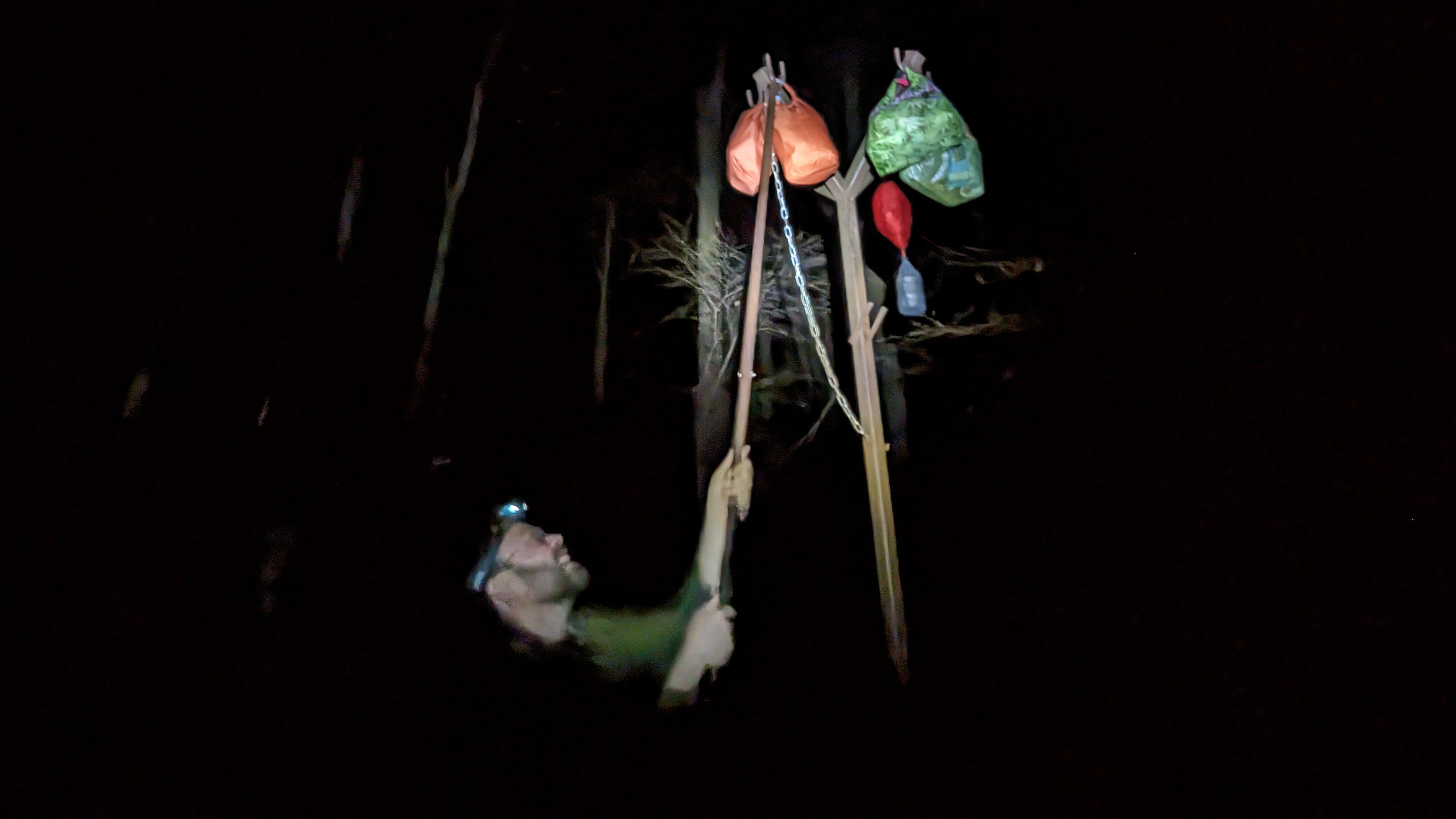
After dinner, the final task of the day was to hang our food out of reach of the bears on the metal pole near the shelter.
Then, sleep.
Day 2: Sam Moore shelter to David Lesser shelter
I slept really well. With darkness from 5.30 pm until nearly 7 am, it gives you a long time to rest in the tent.

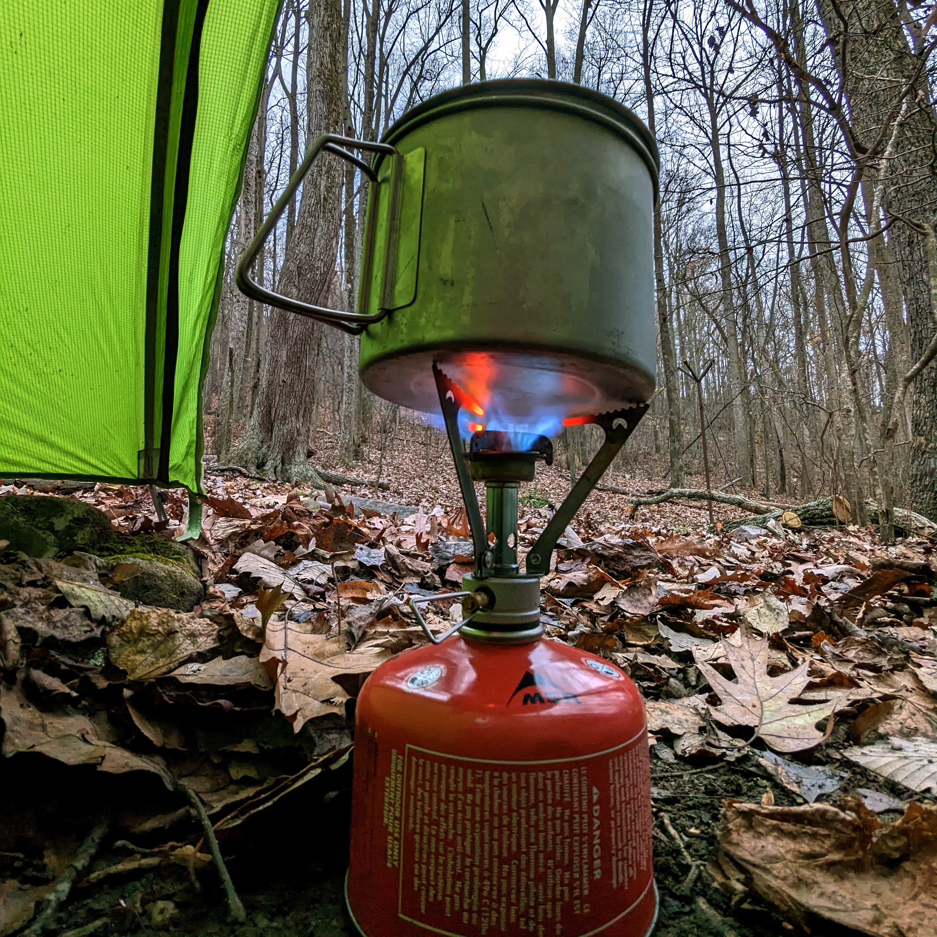
I love camping, and living out in the woods, so it was a real treat to wake up surrounded by trees and nature. After retrieving our foods bags, we retreated to our respective tents to cook and enjoy breakfast from sleeping bags, since it was much, much colder than the evening before.
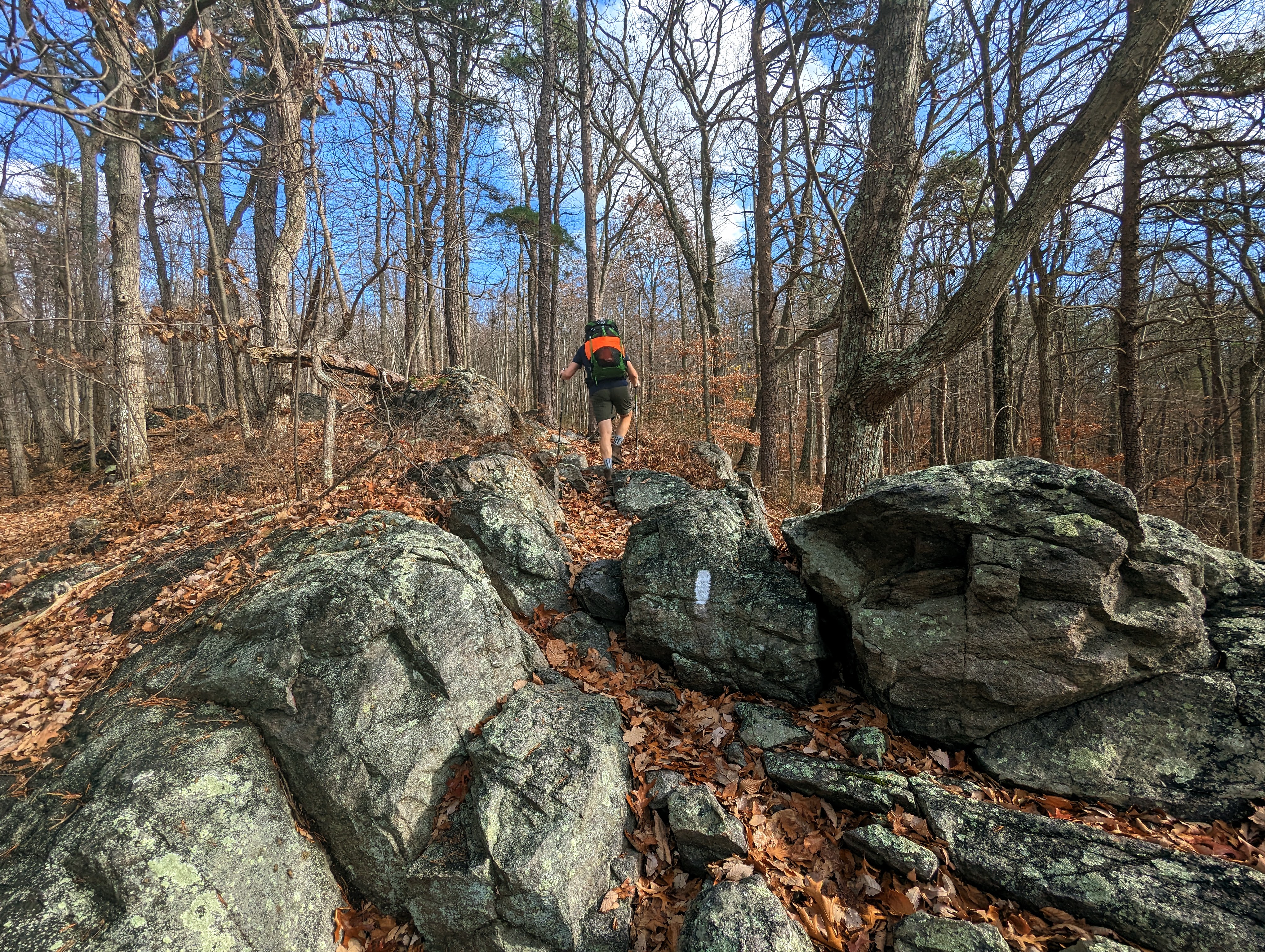
The second day was more of the same: up and down, up and down, on repeat.
It was hard work, with the heavy bags and lack of backpacking specific fitness. We both remarked that it was one of the hardest days we’ve done for a while. Certainly by the end of the day, my back was stiff and aching from carrying the backpack. Thankfully, my knees, which I was worried about before this trip, felt great and gave me no trouble at all.

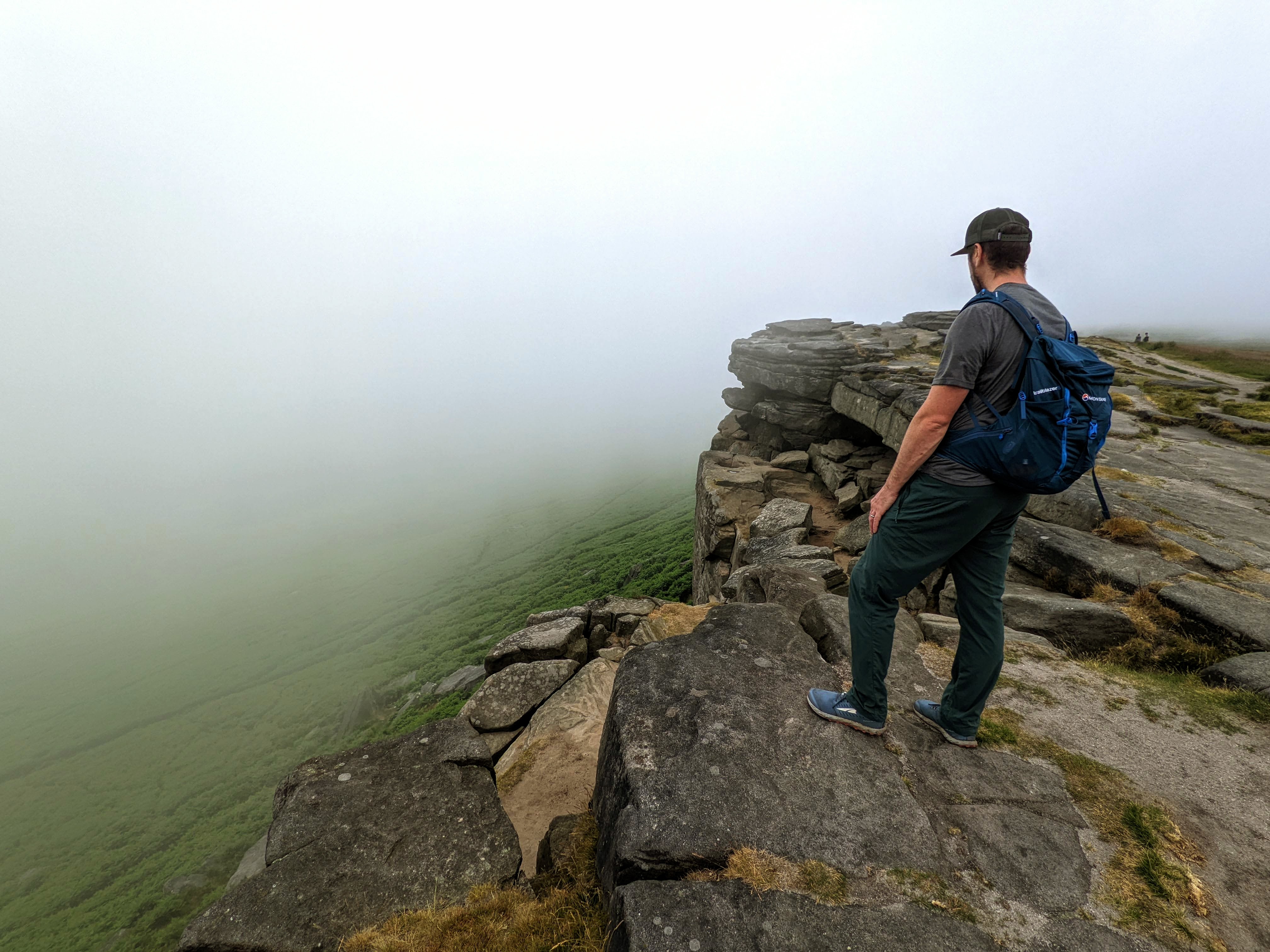
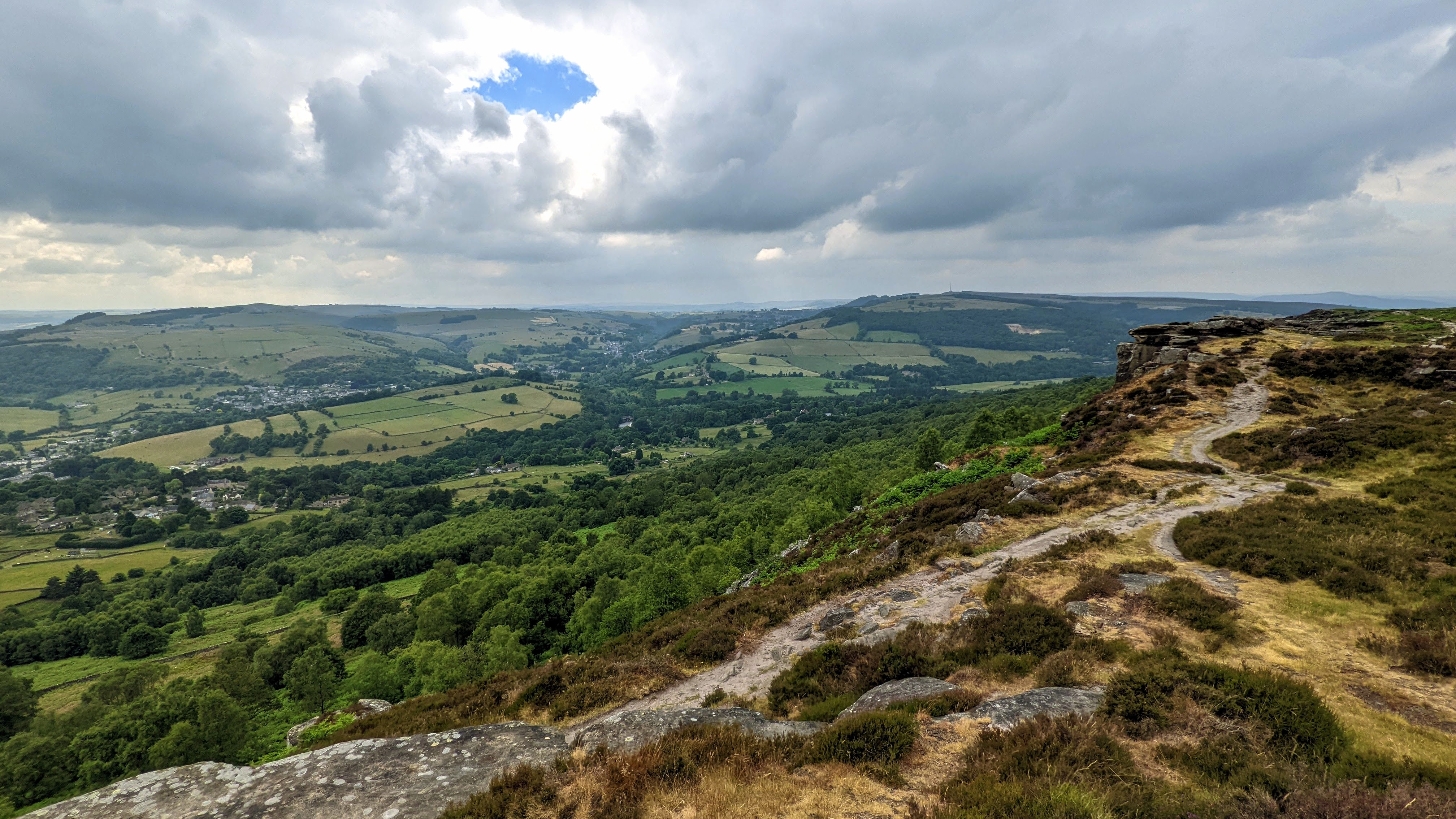
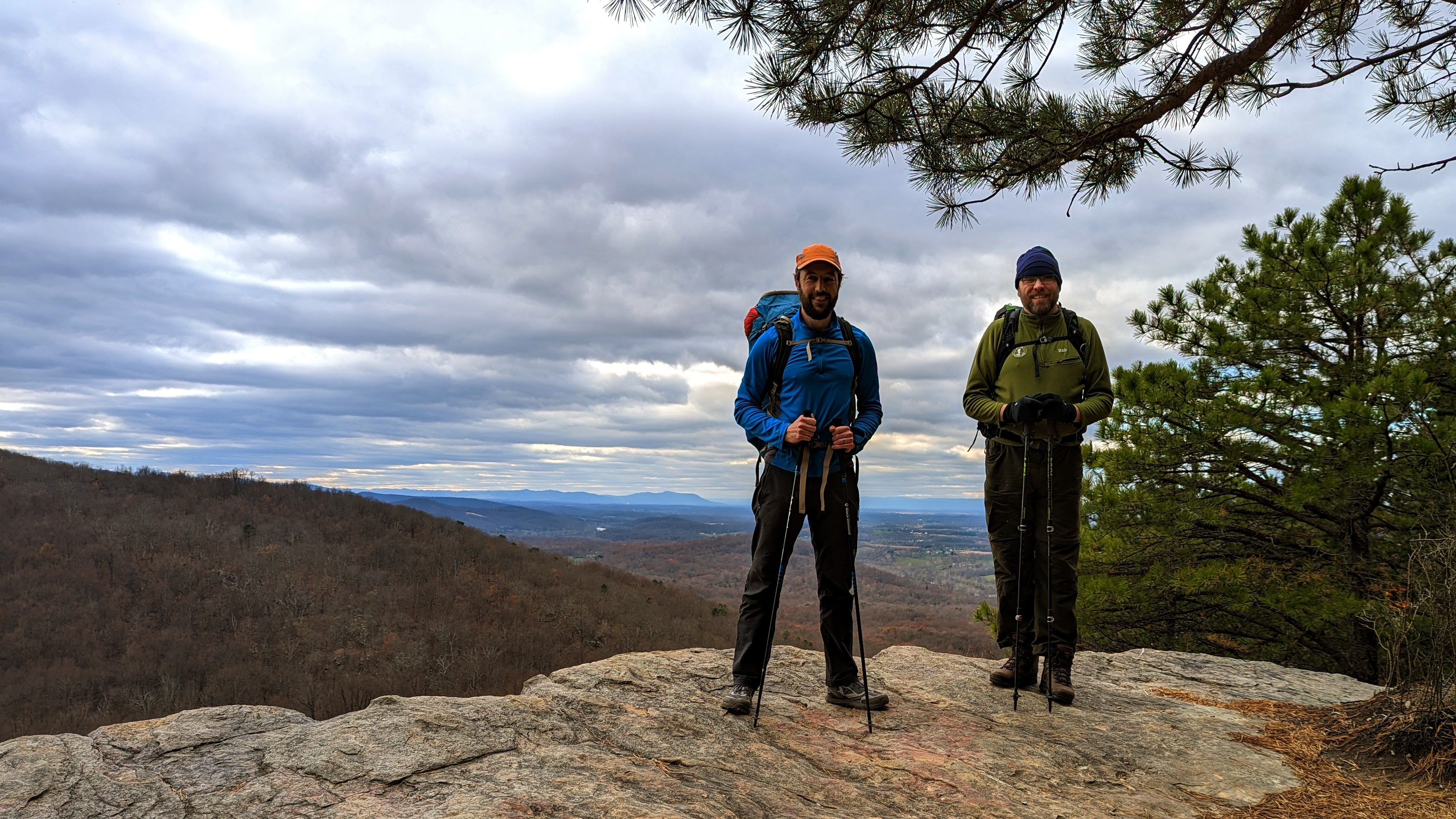
We enjoyed the wonderful vistas from the Bears Den lookout and an hour or so later, from the Raven Rocks lookout. I’m familiar with both of these lookouts from previous hikes (this one and this one), but I’m more than happy to return and enjoy them again and again. It was neat to arrive at these lookouts during a multi-day trip this time.

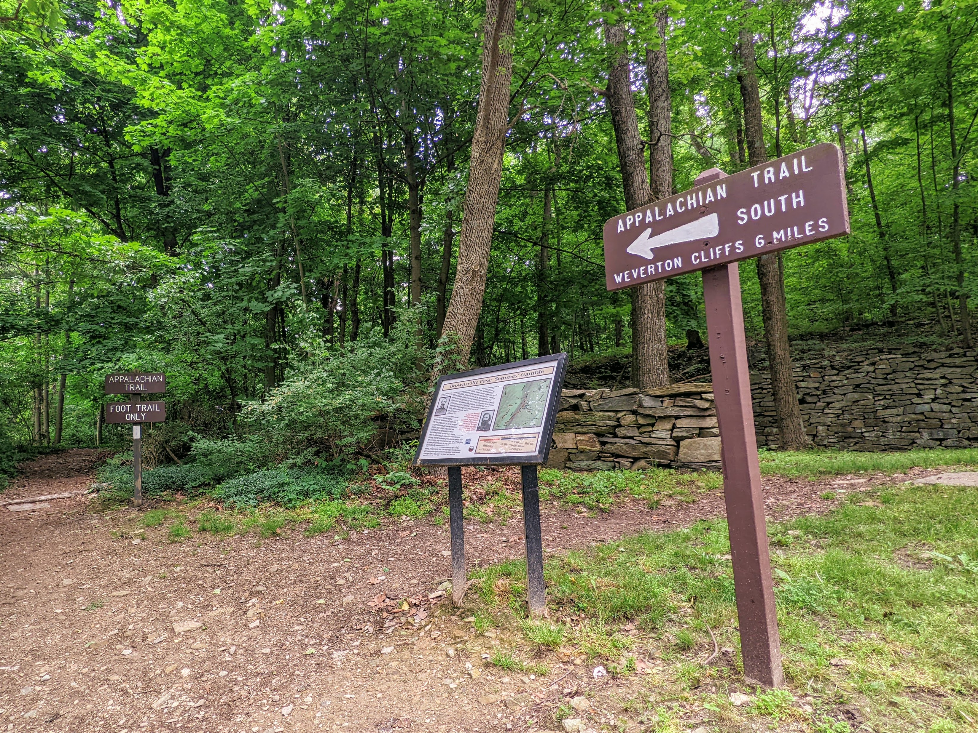
There’s one more ridge line to climb up and over before reaching the end of the roller coaster section. We were looking forward to a section of flatter, easier trail!


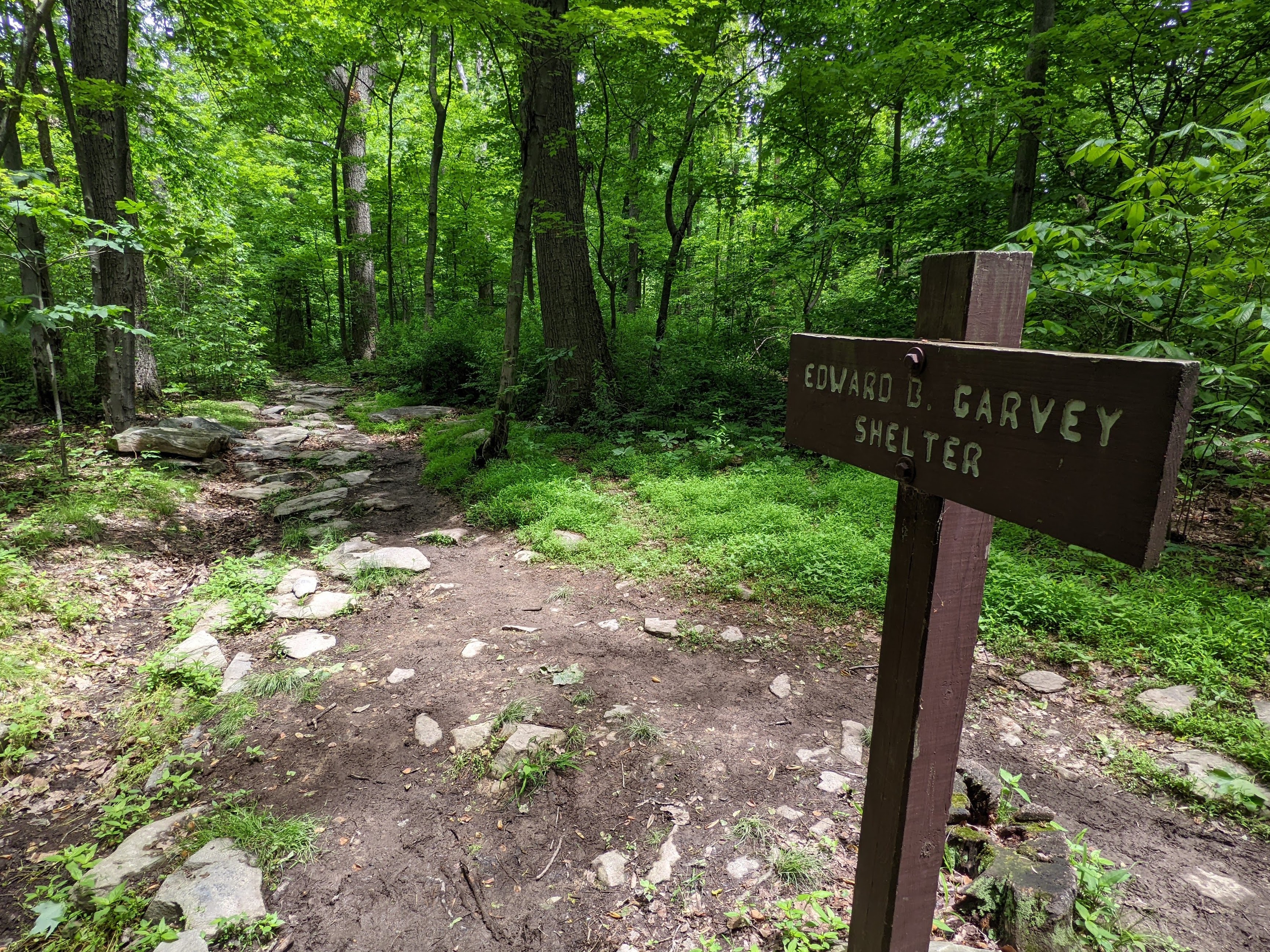
Since the day had taken longer than we expected, we opted to collect water from the Blackburn Trail Center (which we knew had a reliable, outdoor spigot), rather than have to find the spring at the David Lesser shelter in the dark. This proved to be a good move, as the spring is quite a way down the hill from the shelter.

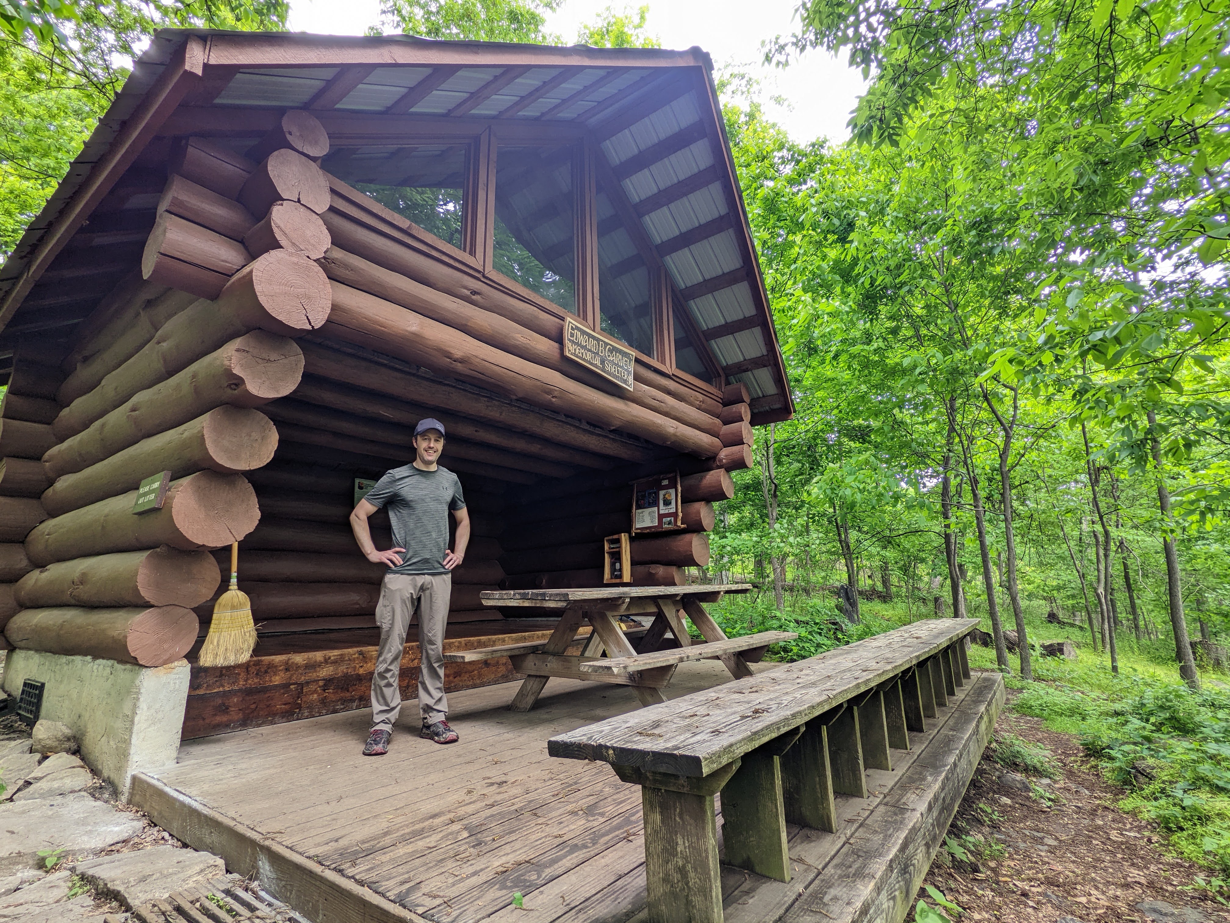
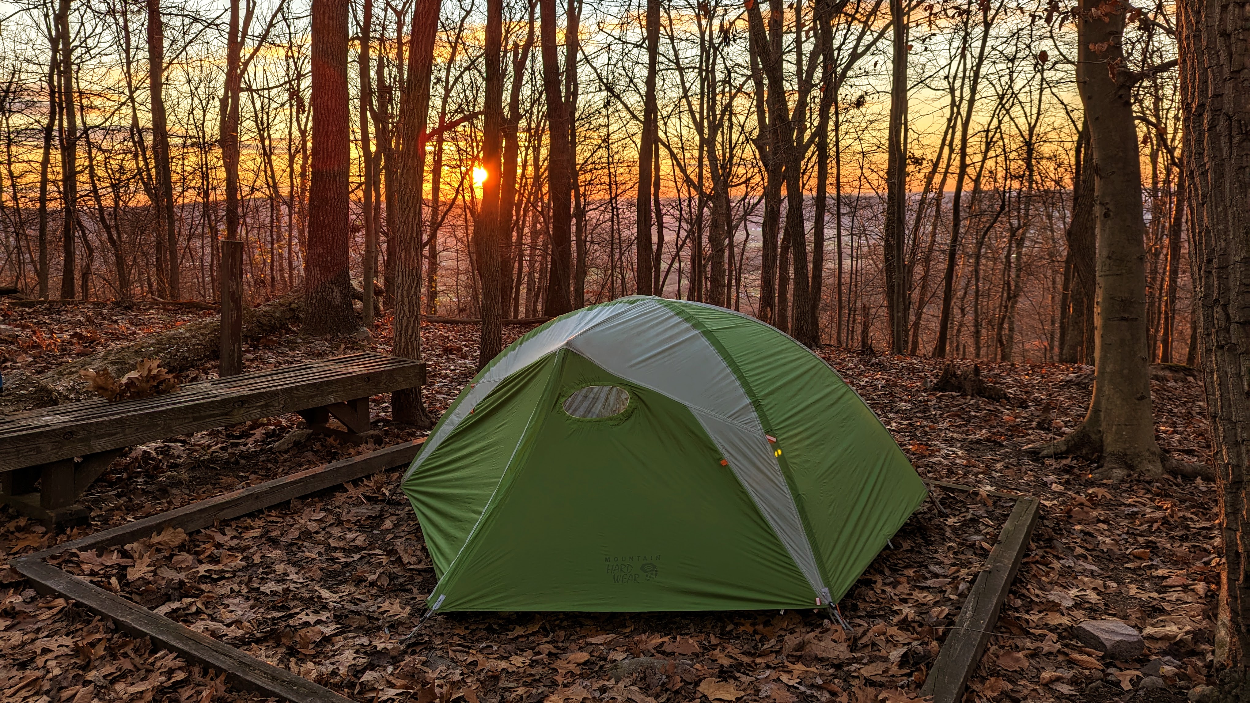
We arrived at the David Lesser shelter in the dark, but quickly found two tent sites and got situated. We were both exhausted.
It was a really cold night, so we cooked and ate dinner as quickly as we could before retiring to tents to get warm. The David Lesser shelter has a bear box, so we stored our food there for the night.

Day 3: David Lesser shelter to Harpers Ferry, including Loudoun Heights lookout
I had no idea what the view was like from the shelter because we’d pitched in the dark the night before. I woke about 6.30 am and when I saw the orange glow outside the tent walls, I jumped up, camera in hand, and took a bunch of photos. It was beautiful. I was like a kid-in-a-candy shop!
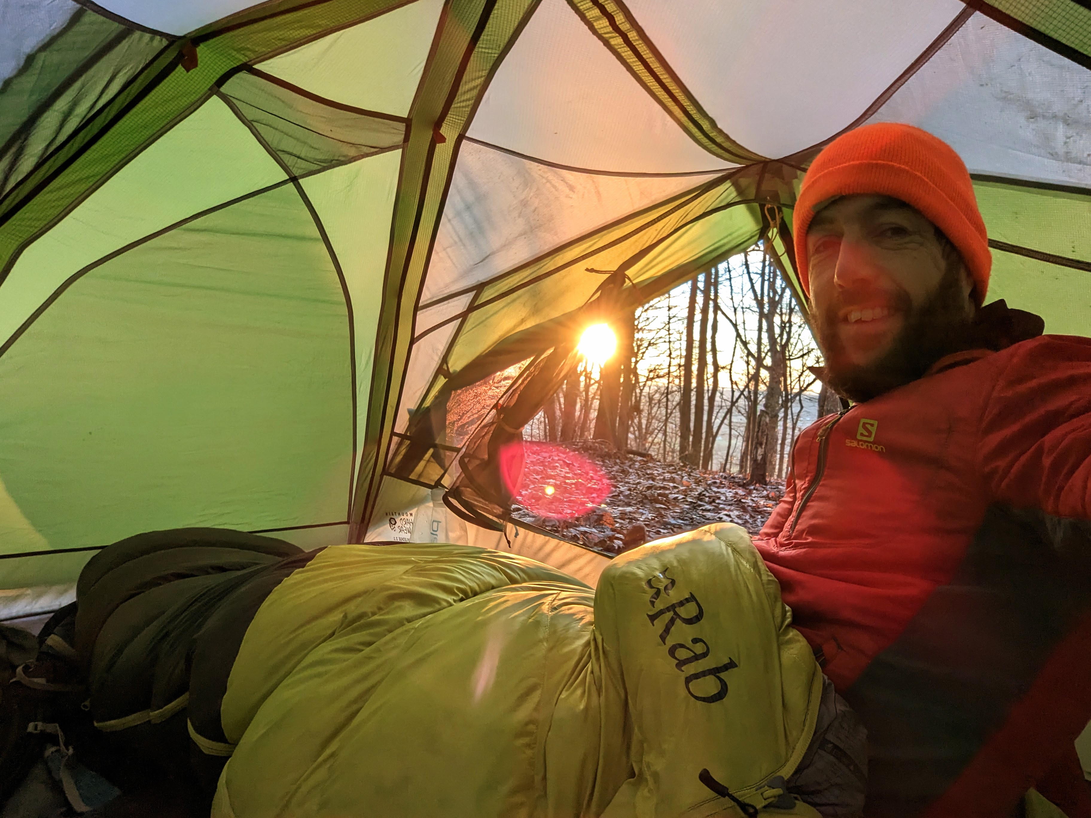
It was another cold morning, so we opted to cook and eat breakfasts from the porches of our tents. It was bliss, sitting in my sleeping bag with a cup of tea, just enjoying the view of the woods and the silence of just being. I felt more content than I have done for a long time. I was in no rush to pack up and start hiking.

We eventually got away at about 9.30 am, after seeing the shelter and signing the logbook.

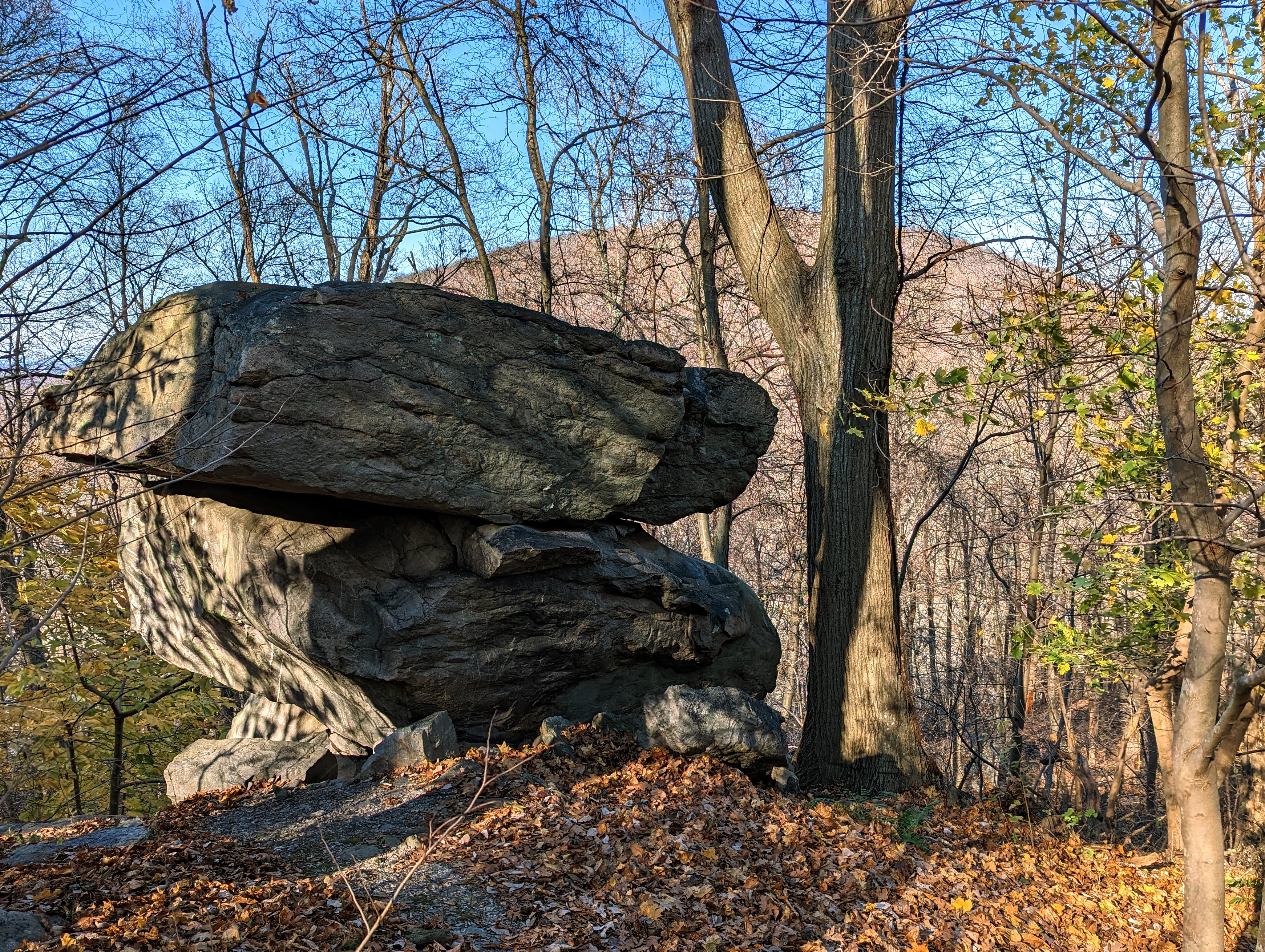
This third day was much easier than the two previous days. The trail was flat or downhill mostly, so we made much better time, apart from a few sections of very rocky trail that required more care.

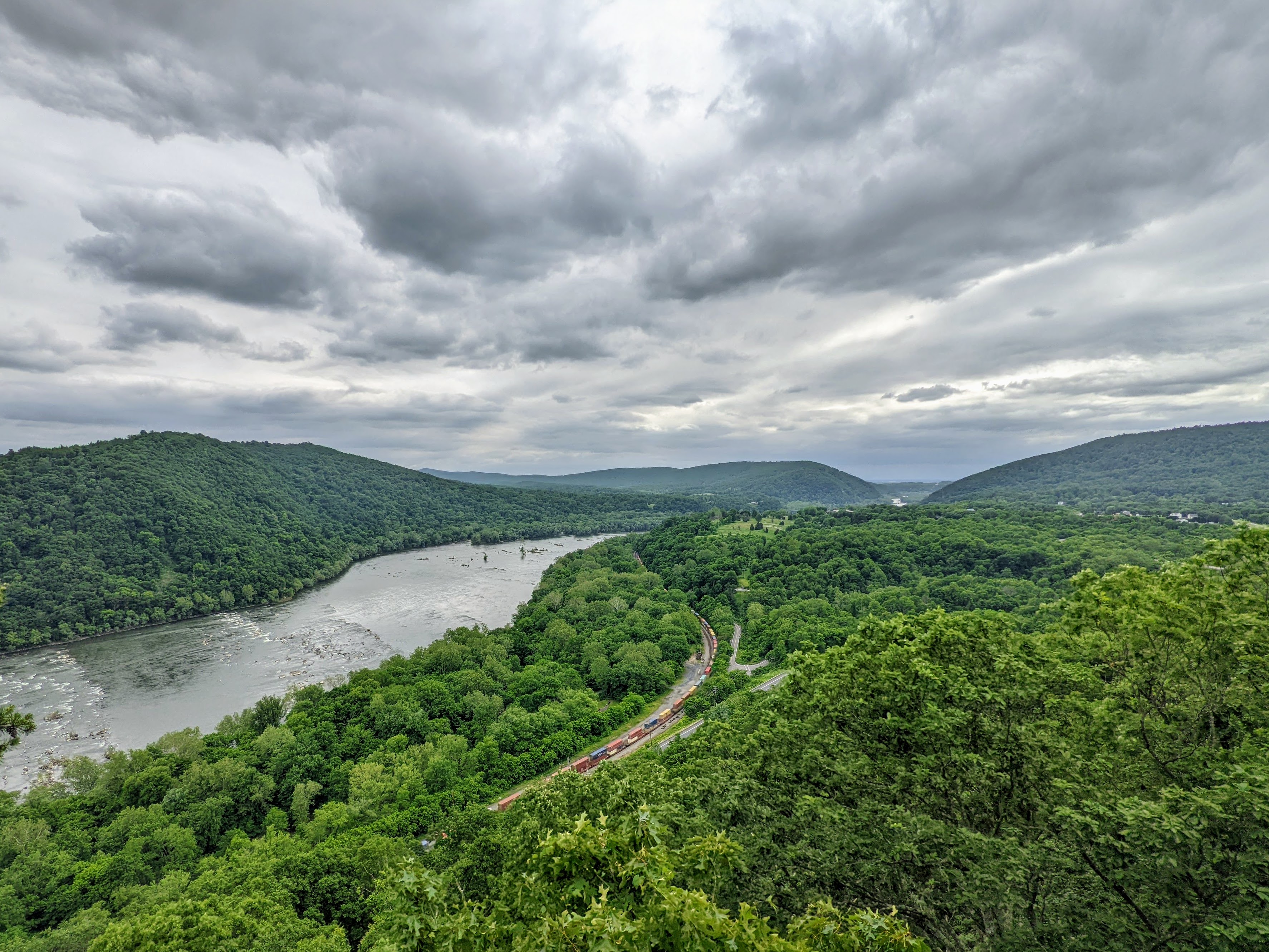
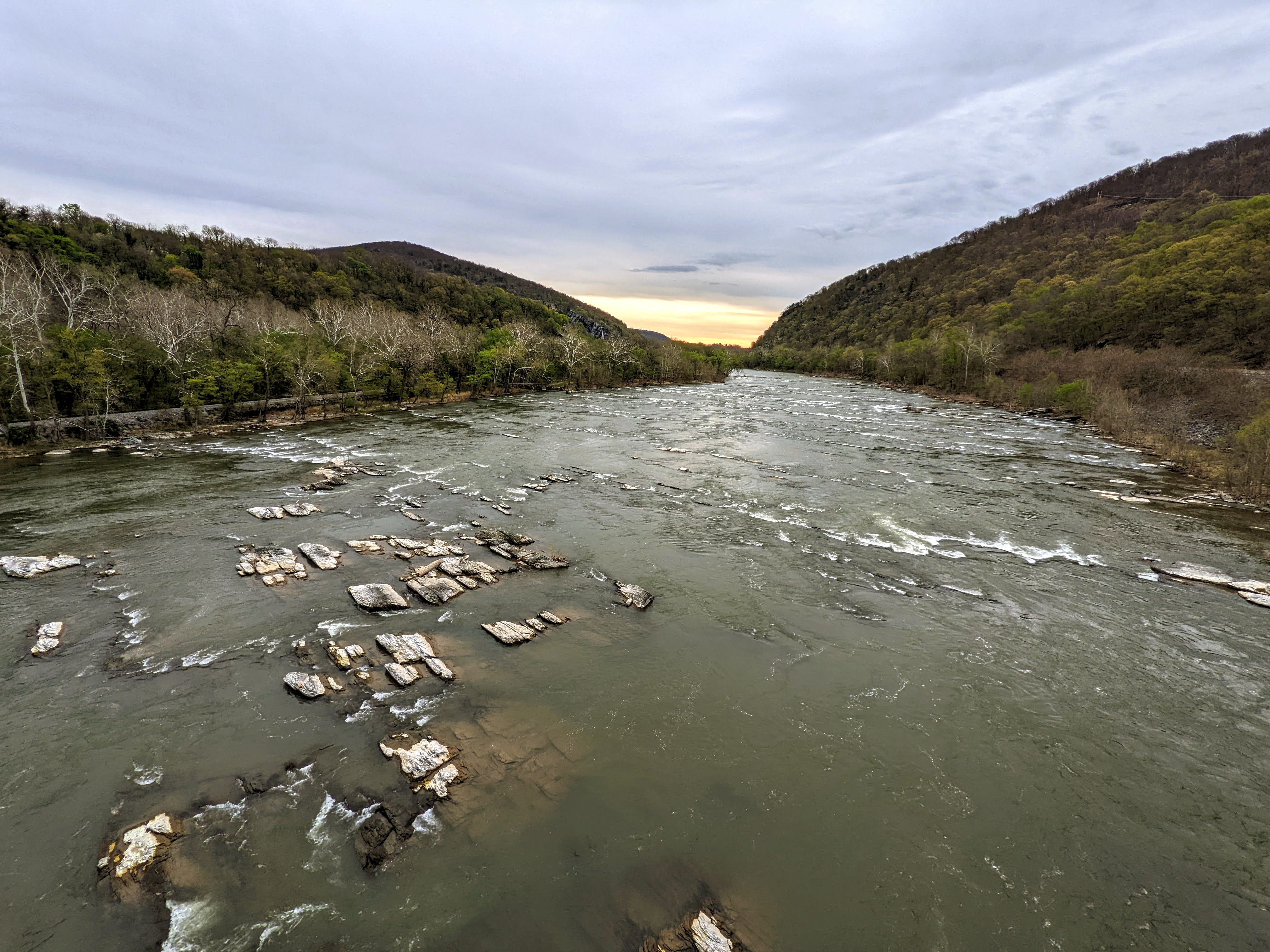
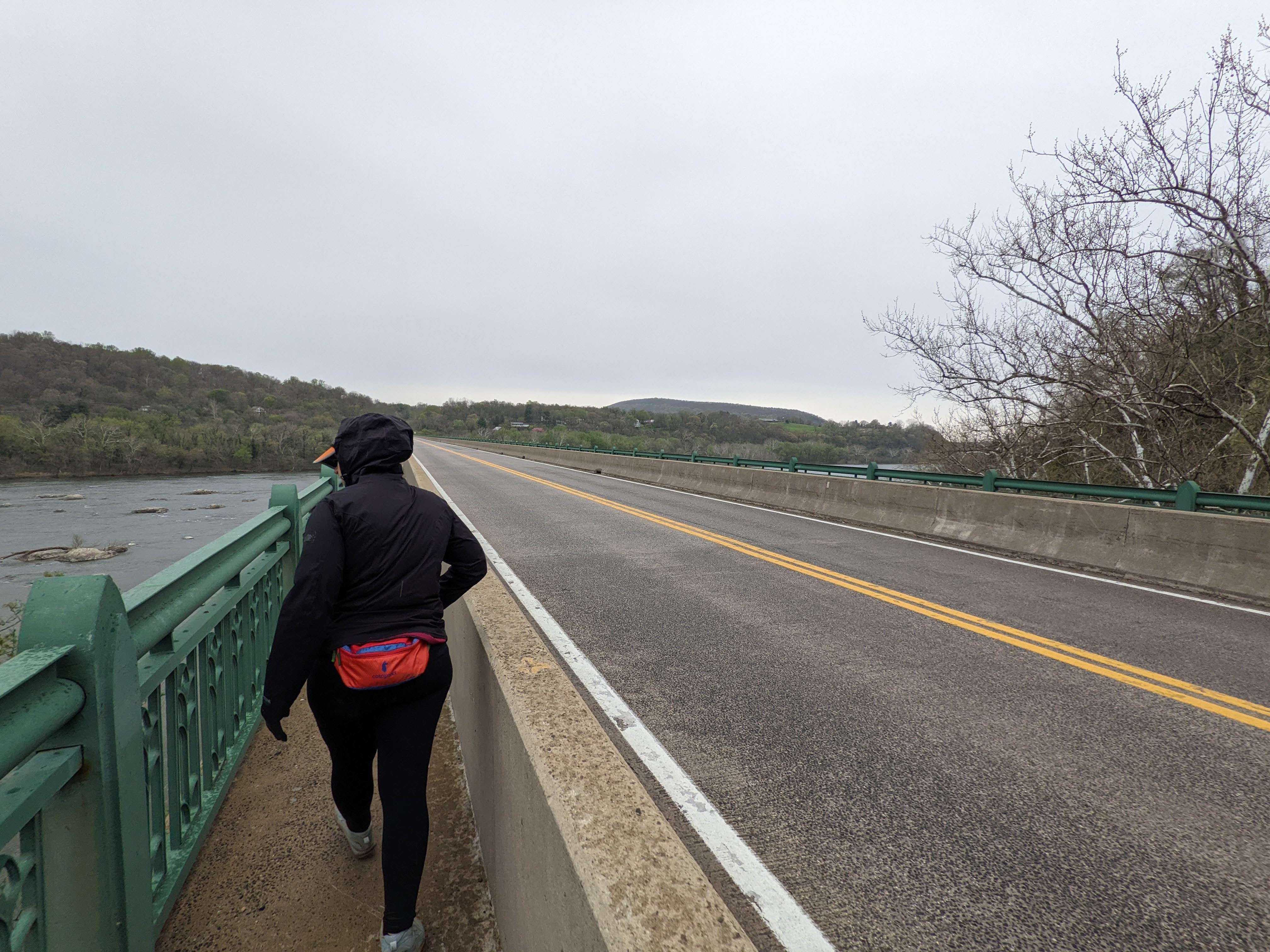
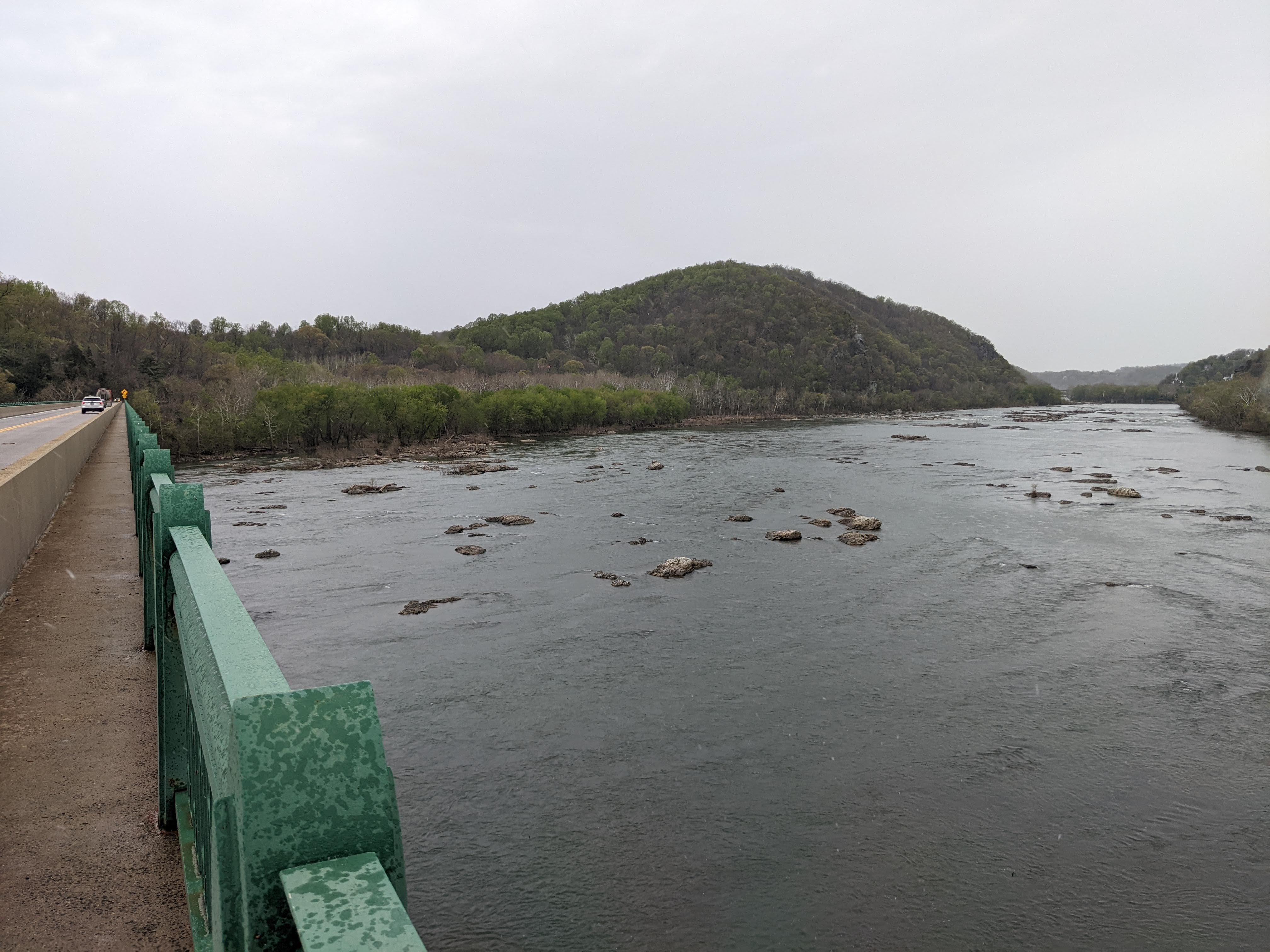
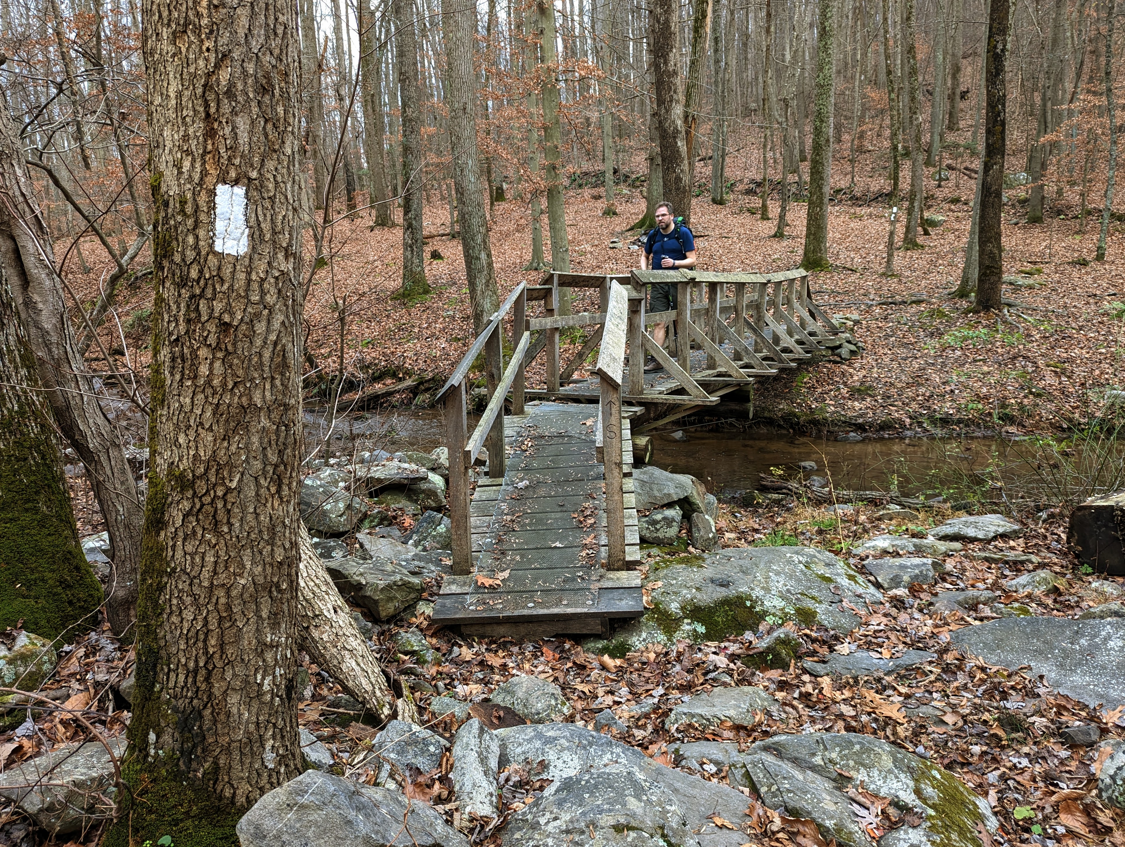
As we approached Harpers Ferry, the trail became more familiar to me. Keys Gap, the boardwalks, the power line break, 4-mile camp, the WV/VA state border, and finally into Harpers Ferry National Historical Park.
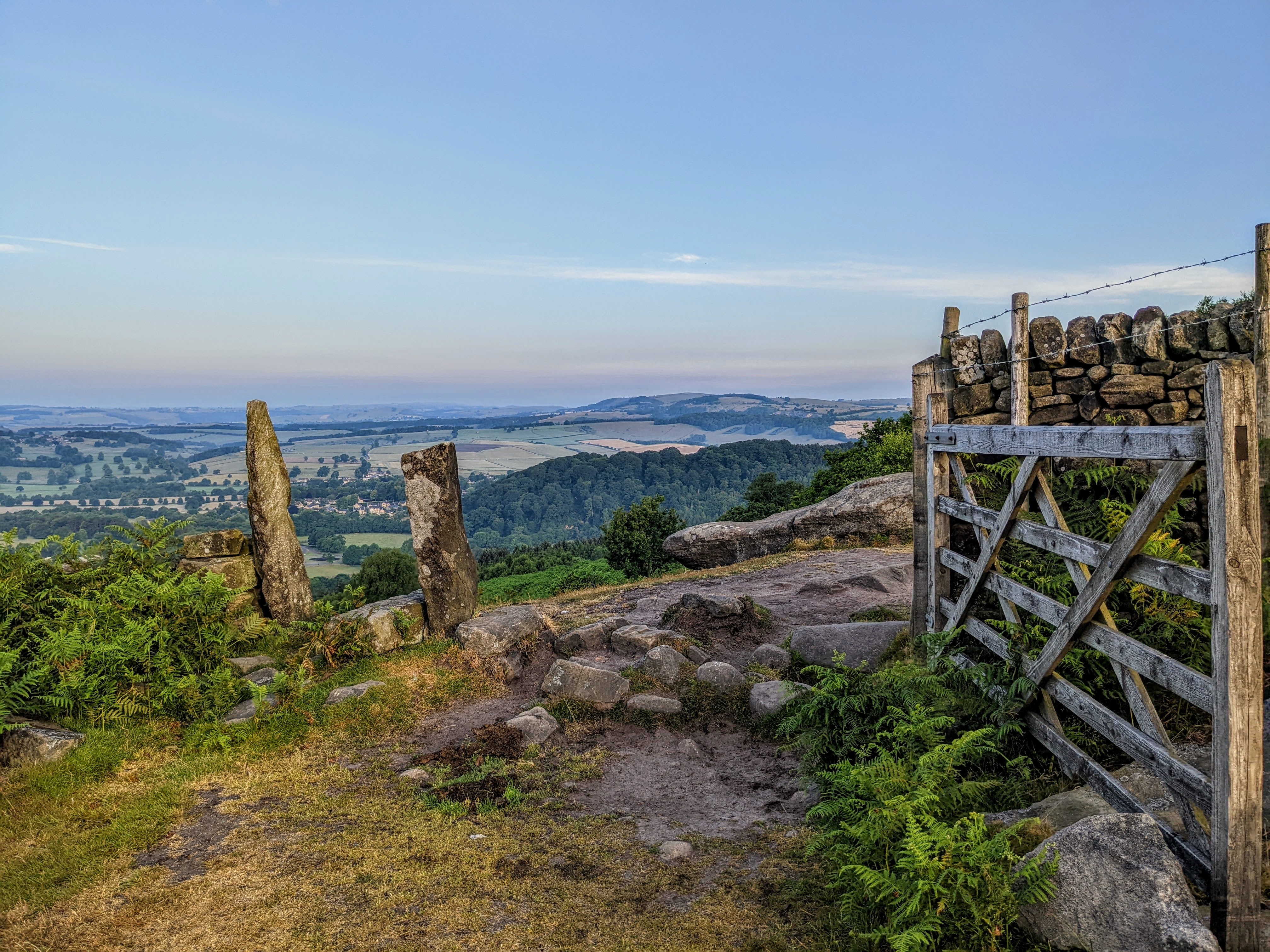
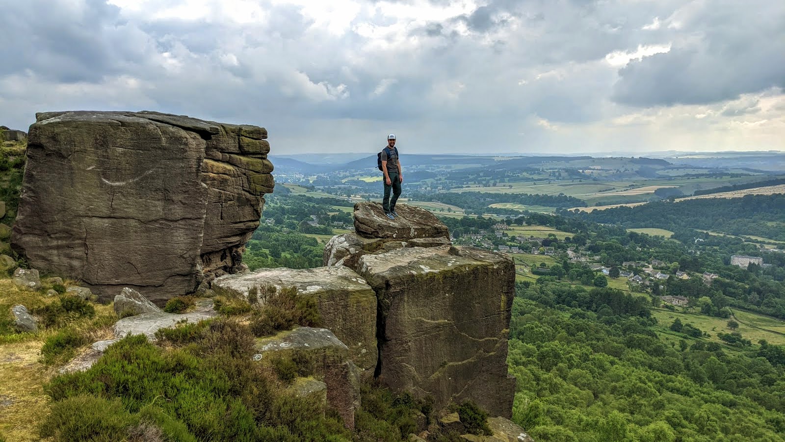
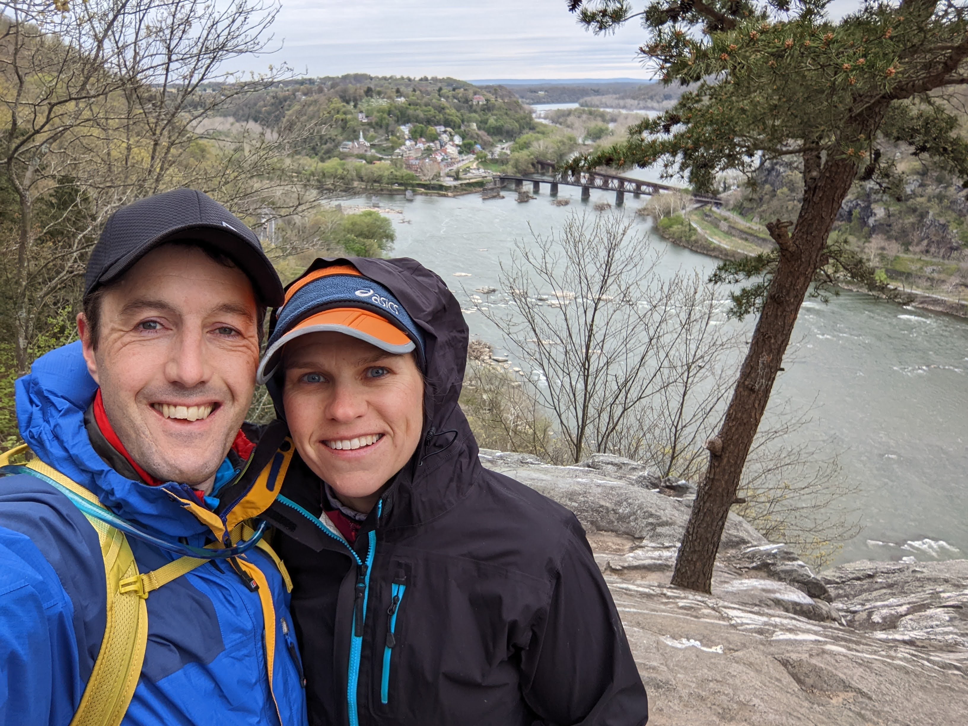
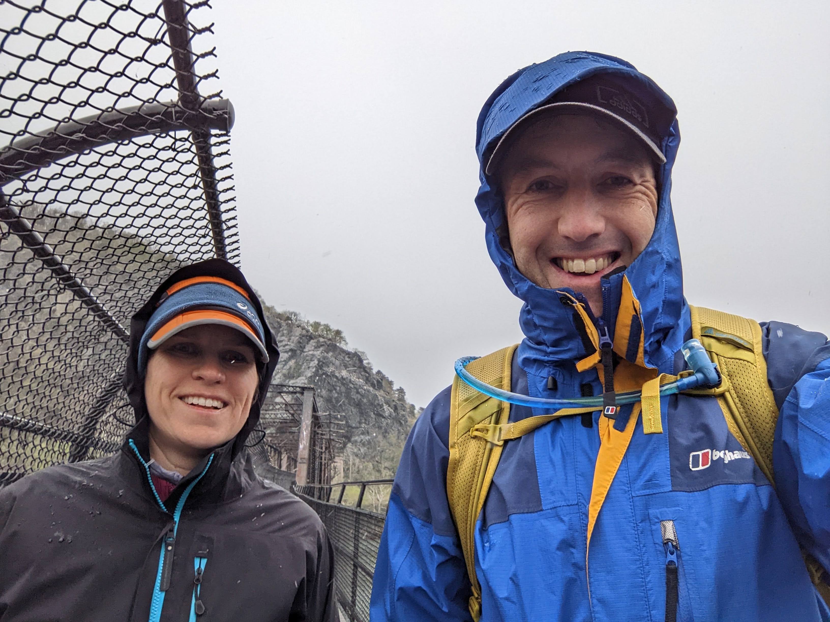
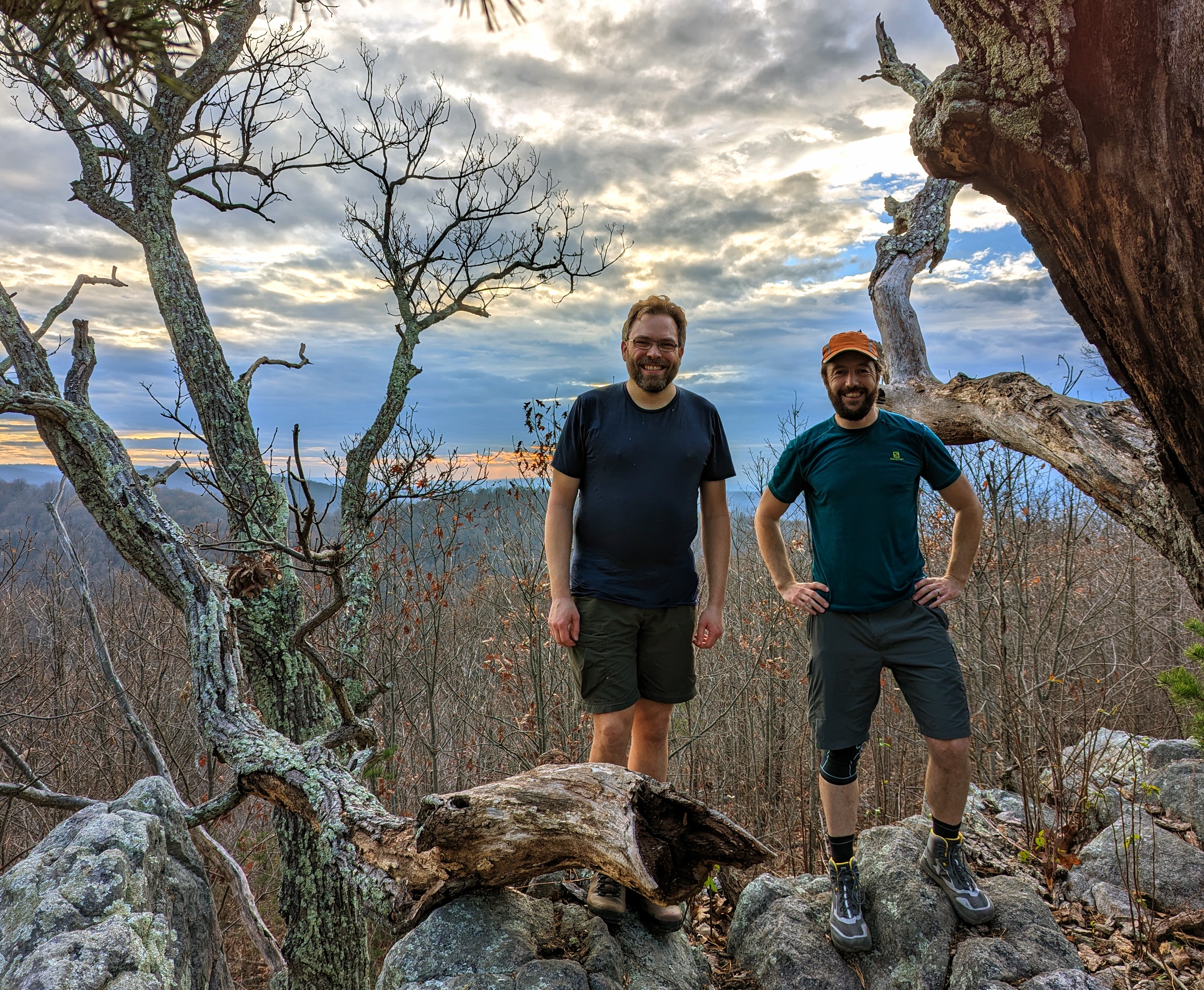
We had plenty of daylight and both felt great so we opted to take the side trail to Loudoun Heights overlook. I wanted to show Alistair my favorite local walk.

We spent a bit of time exploring the lookout — our final “summit” of the trip — before the final descent into Harpers Ferry and home.
There’s something special about finishing (or starting!) an adventure from your doorstep. You walk through the front door, drop your bag, and make yourself a cup of tea, as if you’ve just got back from an hour’s stroll.


All in all, a fabulous three days with one of my oldest friends. What more could you ask for!