This is a long walk along the Appalachian Trail, from Harpers Ferry to Raven Rocks trailhead, passing Keys Gap along the way.
About half of the height gain occurs on the climb up Loudoun Heights on the way out of Harpers Ferry, then the rest of the walk is mostly flat along the ridge until it gets lumpy again near to Raven Rocks.
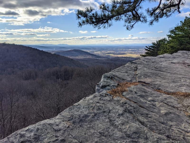
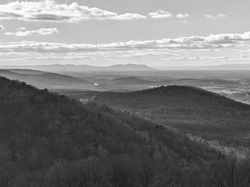
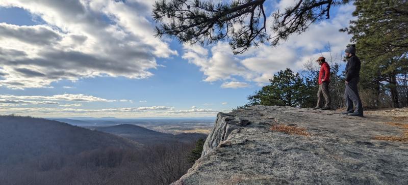
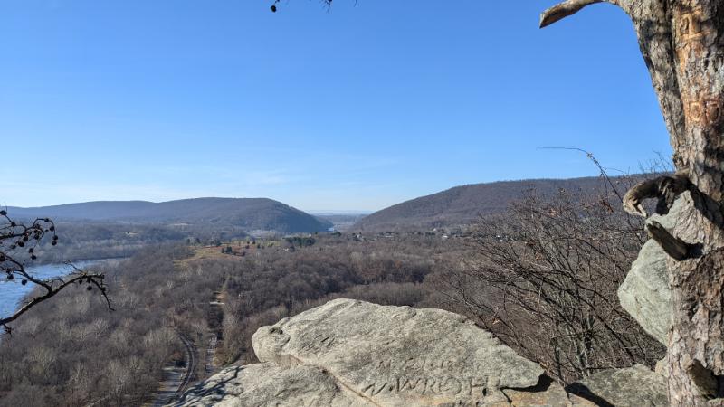
The lookout at Raven Rocks is outstanding!
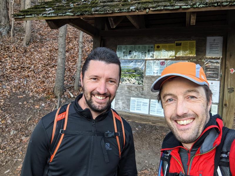
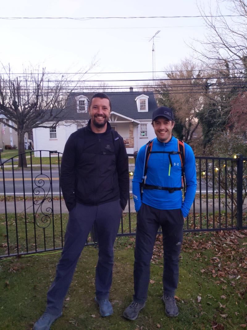
I’ve done this walk once before, on my own earlier this year. This time it was fun to share the trail with Pete and show him one of our classic backyard hikes.
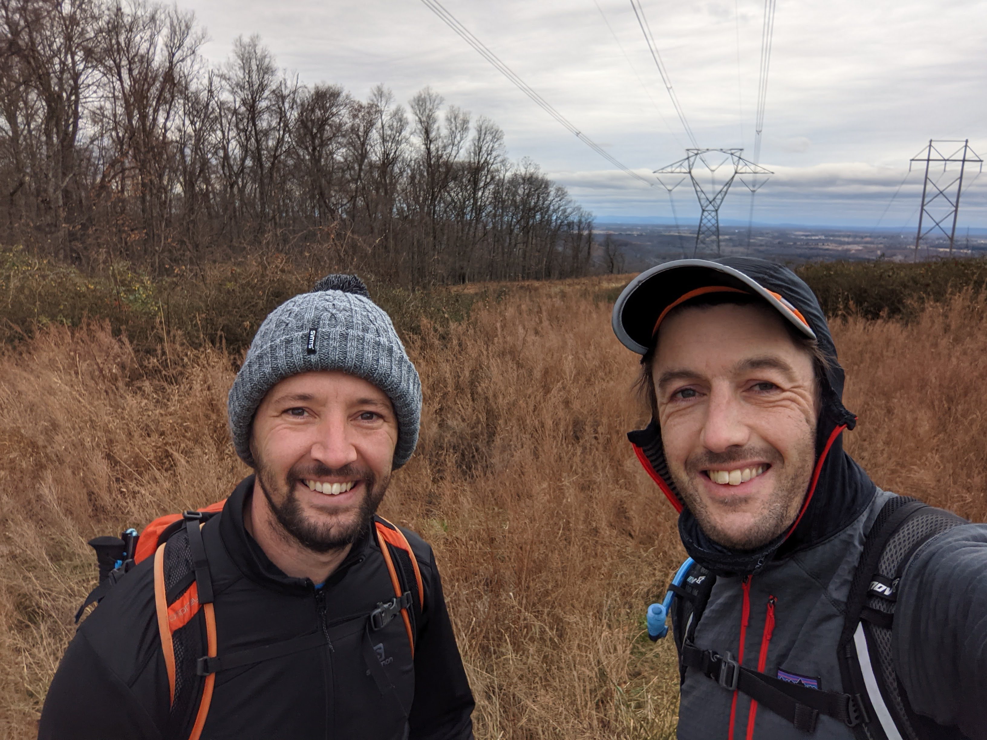
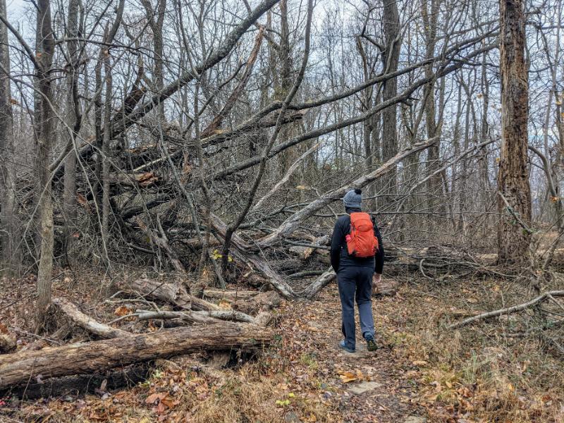
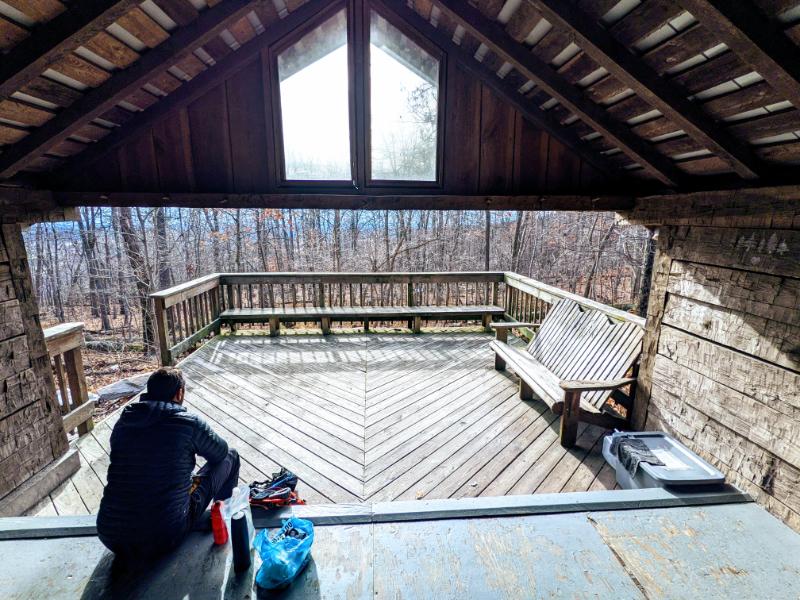
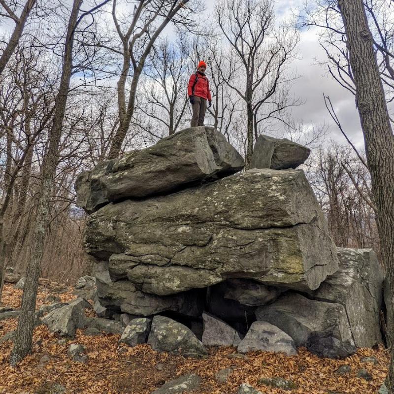
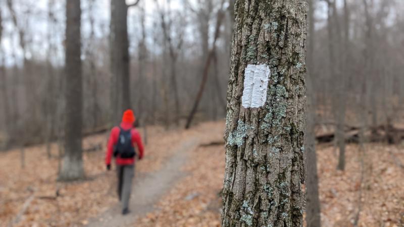
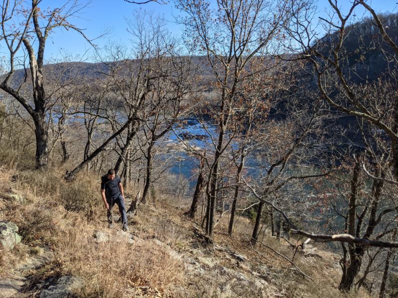
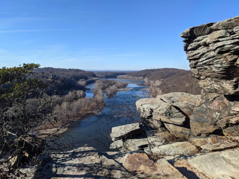
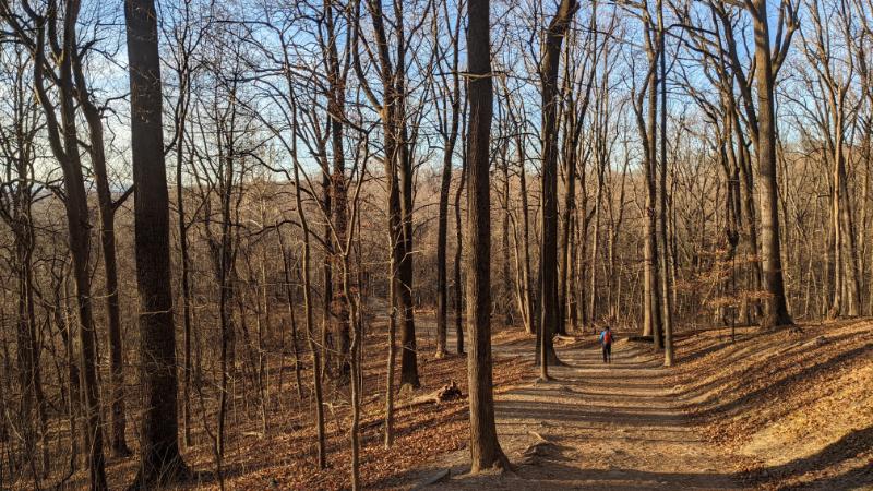
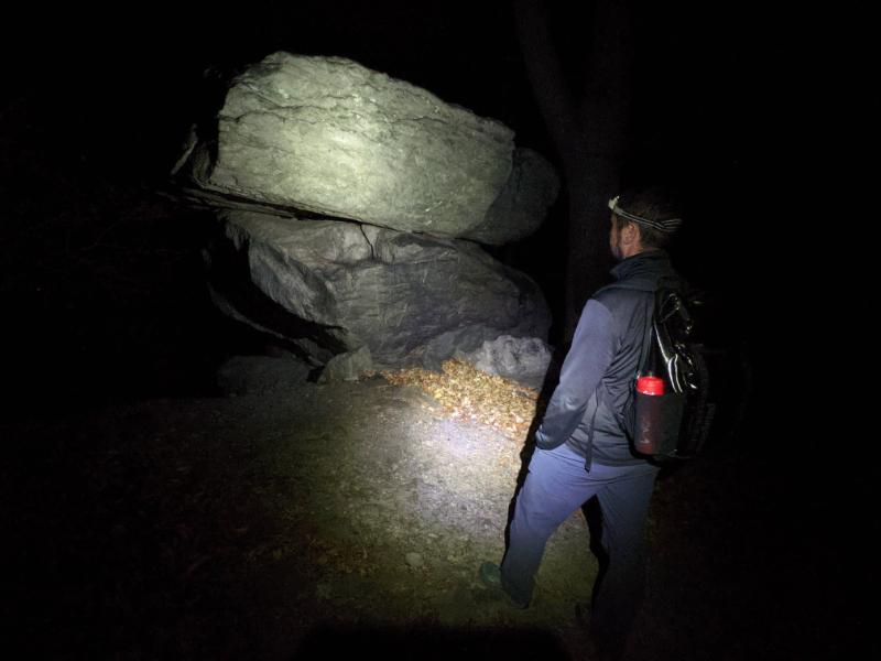
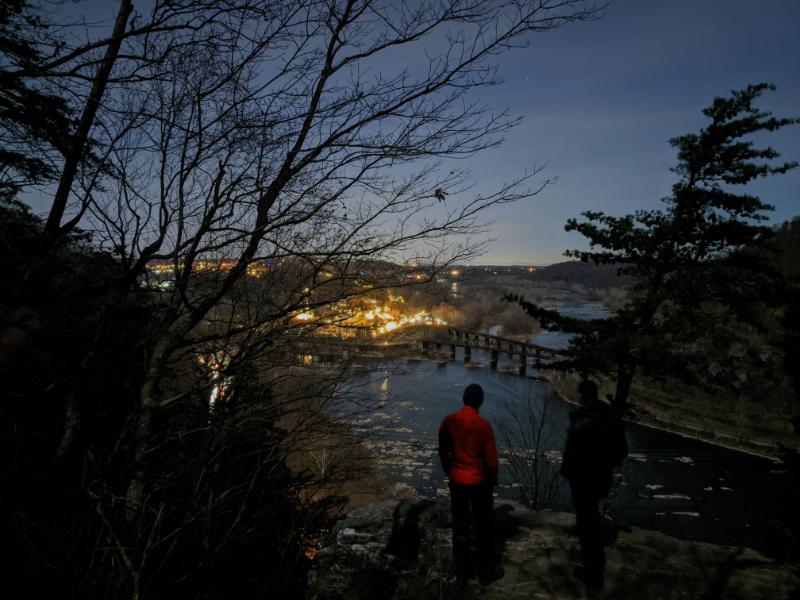
Pete and me at the power line break after climbing up Loudoun Heights on the way out of Harpers FerryPete on the boardwalk near to Keys GapOne of the numerous “blowdowns” along the AT that happen every winterMe and Pete at the David Lesser shelter for our lunch stopPete in the David Lesser shelterLooking west from the ridge line, into West VirginiaPete and me at another view (there are a handful along the route, otherwise you’re in the trees)Appalachian TrailI couldn’t resist climbing this boulder, the first bit of “climbing” I’ve done in years! 😉Walking past the white blazes on the AT (Pete’s photo)Raven Rocks lookoutLooking south from Raven Rocks to the ShenandoahMe and Pete at Raven Rocks lookoutJob done! At the trailhead where we met Lexi for a lift home.
There are three peaks that surround Harpers Ferry: Maryland Heights, Loudoun Heights, and Weverton Cliffs. Each is a solid 8 – 10 mile return hike from home. Walking all three in a single outing makes for a big day out.
I first walked this route in October (trip report here) but since Pete was now here, it was the natural challenge to try together too.
Pete came with me to drop the boys off at school that morning, so we didn’t get away until a little after 9.30am, which meant we would definitely be finishing in the dark given how long the walk is.
Peak 1: Weverton Cliffs
We chose to do Weverton Cliffs first, which is 3 miles along the canal towpath before you climb the mountain. Good section to chat together and catch up on 2 years’ of news.
At the junction where the AT turns away from the C&O canalPete near the top of Weverton CliffsView from the top of Weverton Cliffs, with Loudoun Heights on the L and Maryland Heights on the RBrothers on the summit
Peak 2: Maryland Heights and the Stone Fort Loop
We walked 3 miles back along the canal but instead of taking the regular route up Maryland Heights, we climbed up the eastern flank via the direct path (which I’d only descended once before on a Thanksgiving hike in 2019).
It’s a good climb and we had incredible weather for December. We were hot in t-shirts!
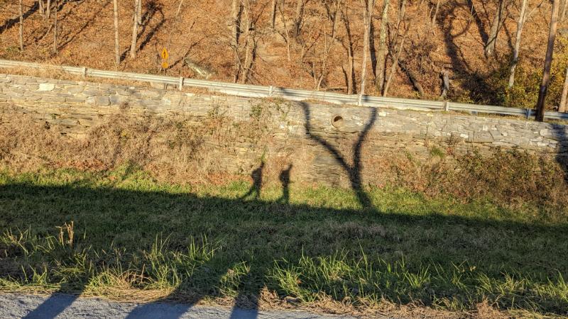
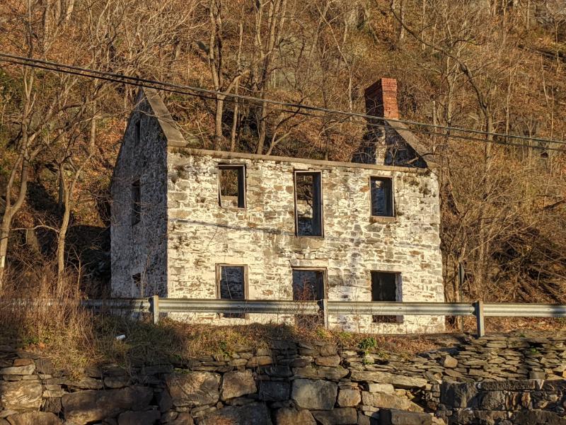
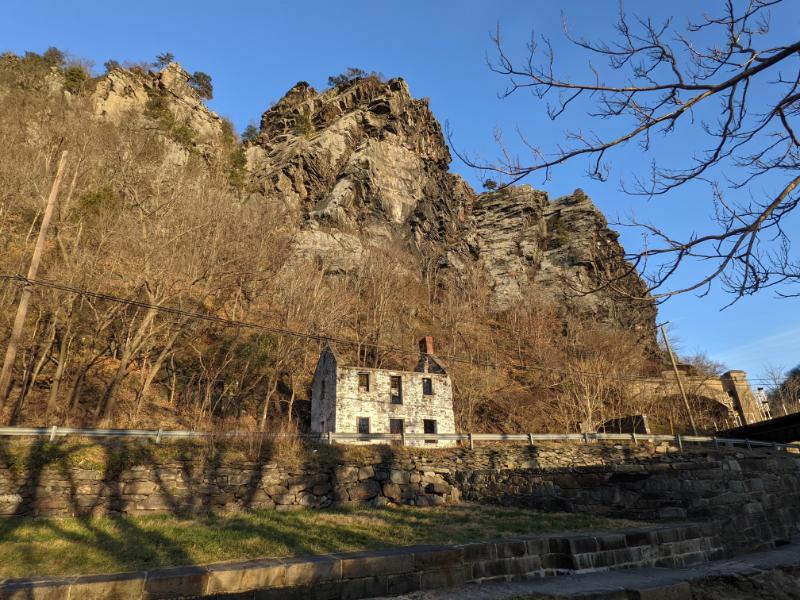
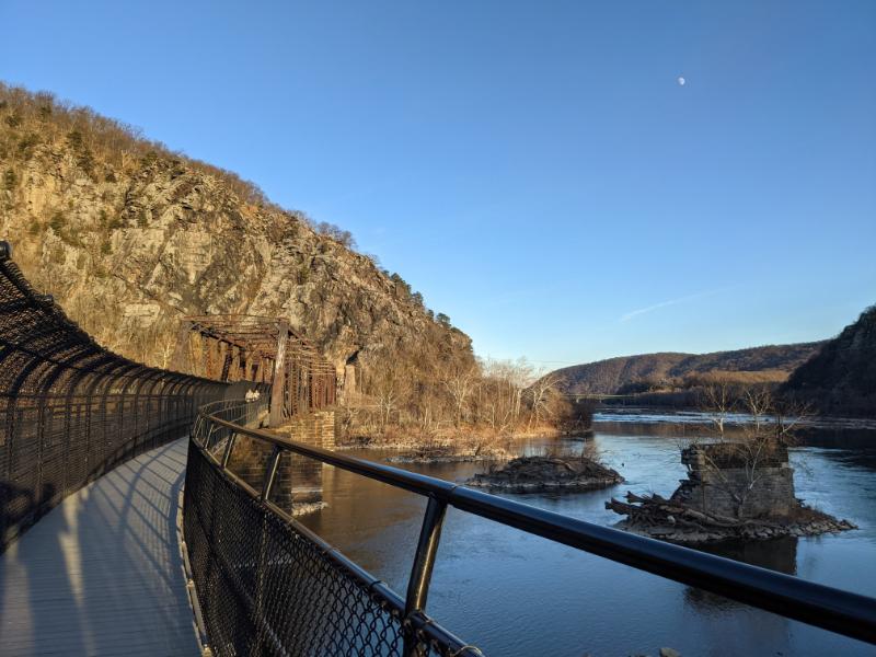
Pete climbing up Maryland HeightsMe, just below the main lookout of Maryland Heights, looking over Harpers FerryLooking NW upstream of the Potomac RiverMe traversing the blocks to reach the main lookoutTurkey vulture flying on the thermalsBrothers at Maryland Heights lookoutBrothers on the summit of the Stone Fort loop, with the Potomac River visible in the backgroundMe descending Maryland Heights in the waning lightTwo shadows walking along the C&O canal back into townThe ruined lockhouse at Harpers Ferry (Maryland side of the river)Another view of the ruined lockhouse with the cliffs of Maryland Heights aboveCrossing back into West Virginia, with the moon outBeautiful evening light as we walked back through town
We stopped back at the house to collect the camp stove, and more food and water, before setting off for Loudoun Heights, the third and final peak.
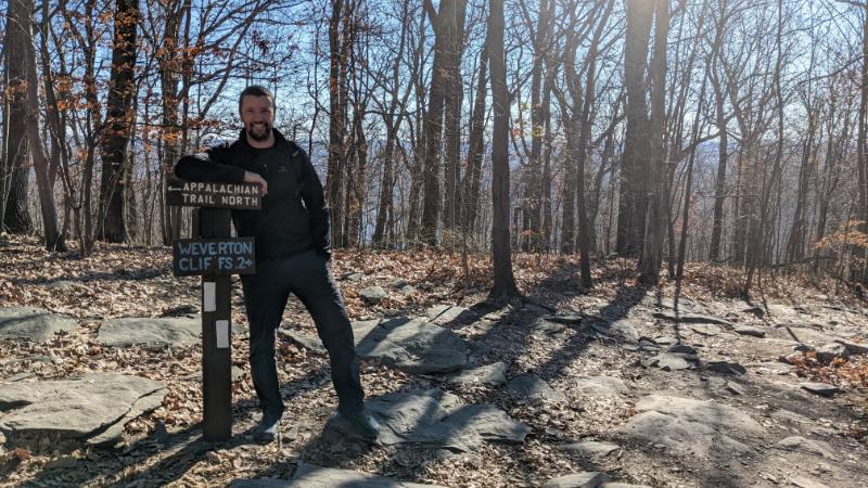
Peak 3: Loudoun Heights
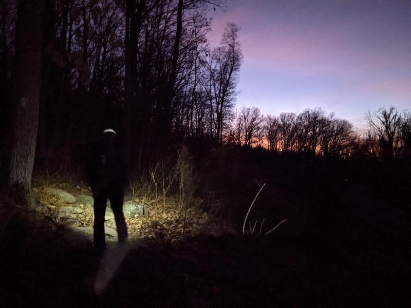
We had about half an hour of daylight remaining as we set off for Loudoun Heights, which is a 3.5 hour walk, so we’d definitely be needing our headtorches.
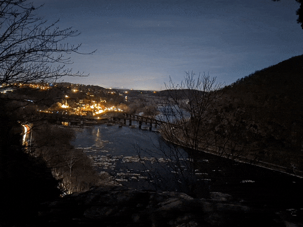
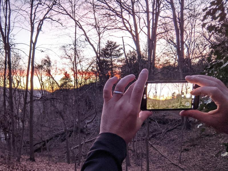
Leaving town to head up Loudoun Heights, peak 3Photo of a photo at sunsetWe switched on the head torches when we crossed Chestnut Hill RoadPete at the boulder, very close to Loudoun Heights lookoutMe (red jacket) and Pete (black jacket) at Loudoun Heights lookout at night
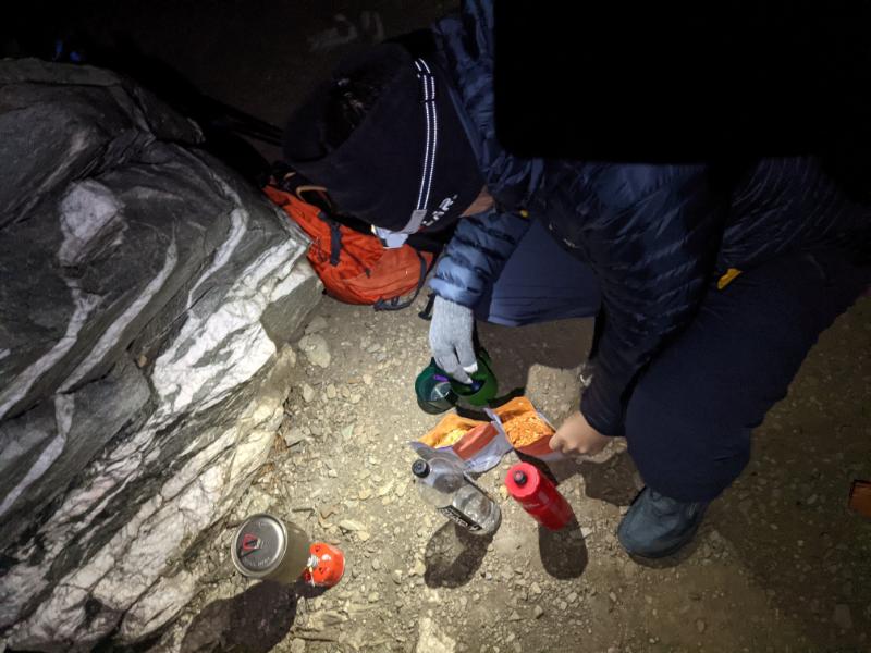
We brought my MSR camp stove, hot dinners, and tea bags, so we enjoyed a veritable feast on the summit of Loudoun Heights!
Great fun and a real morale boost in the cold and dark night.
Pete cooking on the summit of Loudoun HeightsMountain dining: spaghetti bolognese!Head torches mandatory
Overall it was a tremendous day out. It’s a great walk, with a bit of everything: mountains, rivers, history, and mountain-town.
Seriously fun to do this with Pete and show him my local trails.
My next challenge with this walk is to do it under full winter conditions…
My brother — ordinarily based on the other side of the world in Australia — made a surprise visit to see us here in Harpers Ferry, in December 2021.
With the pandemic, it’s been over 2 years since we last caught up in person. Last time we had an amazing hike around the Glyders in North Wales. What would we do this time?
Here’s a breakdown of our hikes from the week:
Thursday 12/9: Bolivar Heights loop: 3.57 miles, 442 ft ascent, 1 hr 15 mins
Friday 12/10: Armory Trail loop: 4.53 miles, 408 ft ascent, 1 hr 43 mins
Saturday 12/11: Hike to lower town with Pete, Lexi and the boys: 3.73 miles, 338 ft ascent, 2 hrs 52 minutes
Sunday: 12/12: Chicken Power event with Pete, Lexi and the boys: 1.46 miles, 300 ft ascent, 45 minutes
Monday 12/13: Three Peaks with Pete (Weverton Cliffs, Maryland Heights/Stone Fort, and Loudoun Heights): 24.27 miles, 4,304 ft ascent, 11 hrs 36 minutes
Wednesday 12/15: To the Power Lines and back with Pete and Lexi: 10.65 miles, 1,778 ft ascent, 5 hrs 5 minutes
My mum and her partner Dave then arrived (I knew about this trip!) a week later too, so I had a lot of my UK family together for the first time in over 2 years.
My mum didn’t know about Pete’s arrival, so he surprised her with a wonderful prank 😉
Thursday 12/16: Walk around the neighborhood with Pete, Lexi, Mum, and Dave: ~2.5 miles (forgot to do Strava)
Sunday 12/26: Weverton Cliffs from home with mum, Dave (second half), Lexi and the boys (for the climb): 11.64 miles, 1,182 ft ascent, 6 hrs 22 minutes
Monday 12/27: Bolivar Heights with Lexi and Dave: 2.22 miles, 215 ft ascent, 45 minutes
Thursday 12/30: To the Hilltop Hotel lookout with mum: 2.14 miles, 230 ft ascent, 40 minutes
Loudoun Heights, Saturday 12/11
I’ve written about the two longer hikes (3 peaks and Raven Rocks) separately but here are a few photos from our hike up Loudoun Heights. As this is my go-to mountain trail, I was excited to show it to Pete.
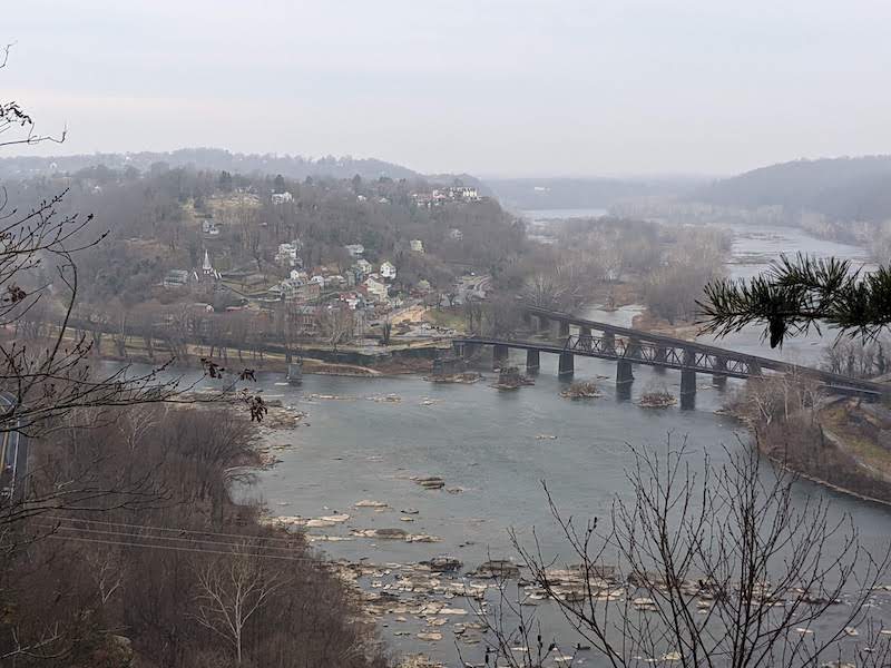
Showing Pete the local trails (on the way up Loudoun Heights)Pete close to Split Rock lookout on Loudoun HeightsHarpers Ferry from Split Rock lookout on Loudoun HeightsBrothers at the lookout on Loudoun Heights, 11 December 2021
I’ve been feeling a little morose recently and I knew the best antidote would be a challenging day in the hills.
There are three peaks that surround Harpers Ferry, all within walking distance: Loudon Heights, Maryland Heights, and Weverton Cliffs.
Maryland Heights panorama
I’ve previously climbed two of them in a day – Maryland Heights and Loudon Heights – but all three in a day is an altogether more challenging prospect. It’s still small fry in the grand scheme of things, but a good challenge for me with current fitness levels and creaky knees.
It’s a 24 mile walk with over 4,000 ft ascent:
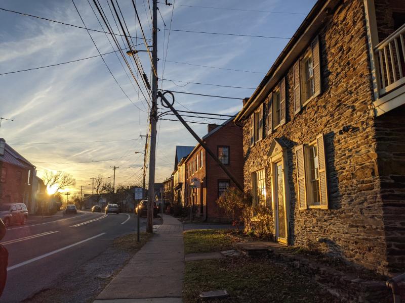
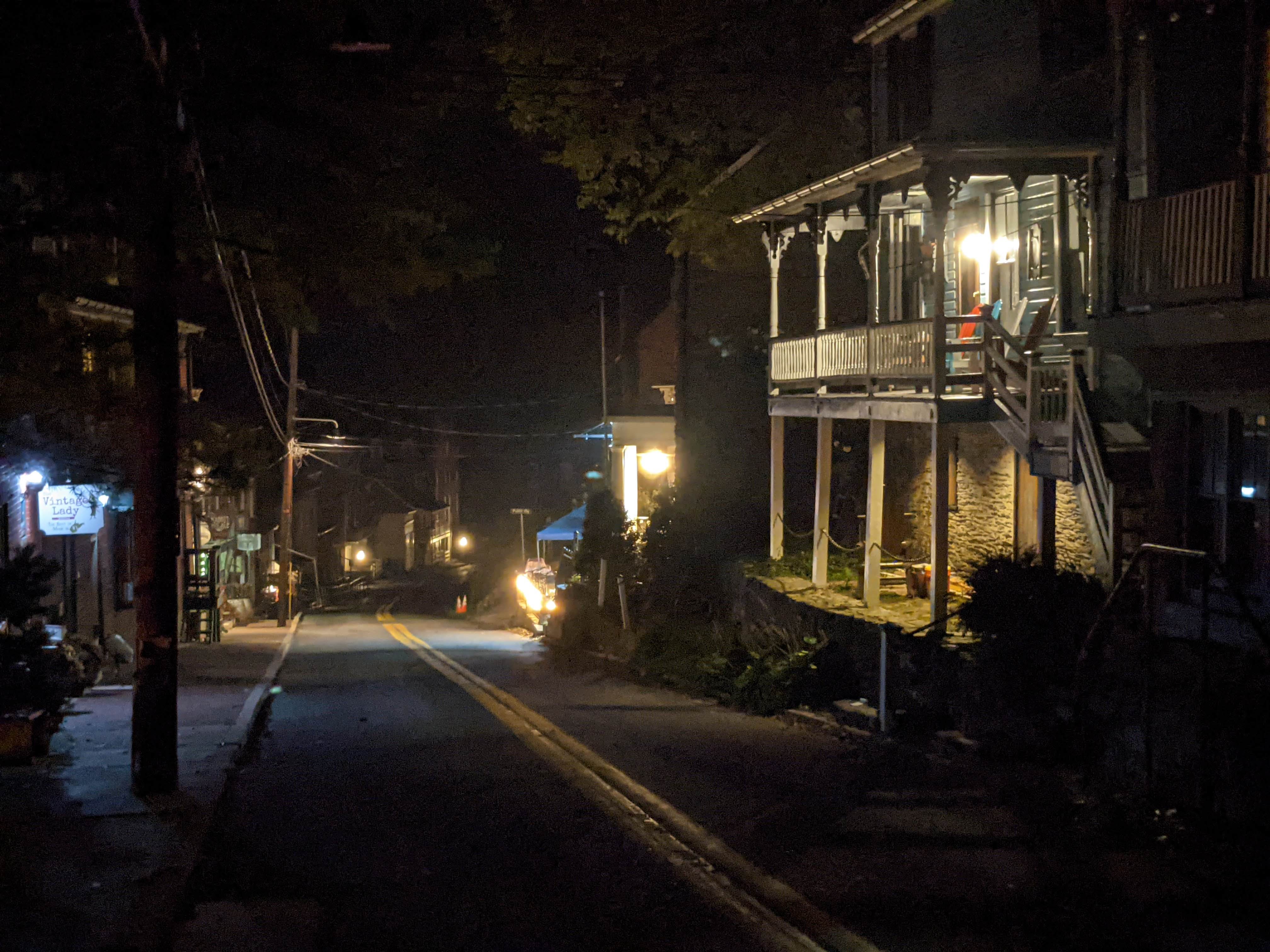
I left home at 6, wearing my head torch because it’s still dark that early at this time of year. Lower town is atmospheric and feels even more olde-world at this time in the morning, when it’s quiet and devoid of cars.
My route took me through lower town, over the pedestrian bridge, then up Maryland Heights as the first peak. I did the Stone Fort loop, which takes in the old civil war fortifications on top of the ridge, some 1,400 ft above the river.
I ditched the headtorch when dawn broke, as I ascended the steepest section of track, near the top.
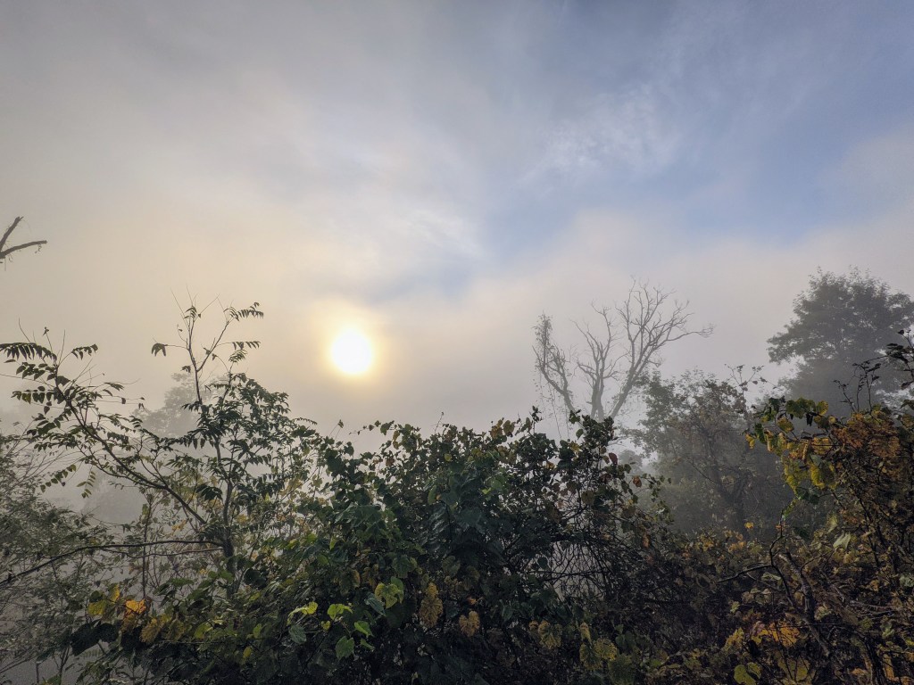
It was misty on the summit, and no one else was around.
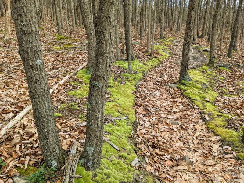
After a short break, I continued along the summit ridge, which is one of my favorite section’s of walk in the area. It’s especially enjoyable in inclement weather or wintry conditions, and today the swirling mist gave it an other worldly feel.
As I progressed along the ridge, the sun made an appearance, slowly burning off the mist and appearing out the cloud.
The dew was heavy on the ground, the leaves, and spiderwebs. Nature even does Halloween decorations better than we do.
Peak fall foliage is still a few weeks away but evidence of change was all around. Leaves are falling and starting to cover the ground. Mostly brown and yellow at the moment, but the reds, oranges, and purples are surely just around the corner. This shot was taken on the descent of the Stone Fort loop, on the way down Maryland Heights.
From the base Maryland Heights, it was four miles along the C&O canal to Weverton Cliffs, passing the abandoned canal lockhouse under Maryland Heights cliffs. I was yet to see another soul since leaving home.
Counter-intuitively, the flat, hard-packed surface of the canal was harder on my feet than climbing the mountains, so I was happy to reach the turn north on the A.T. to head up Weverton Cliffs. I’ve climbed it several times before (from home and with family) so I knew what was in store.
It’s a relatively short climb from the trail to the top of the ridge, but as I already had 10 miles in the bag I was feeling a little tired:
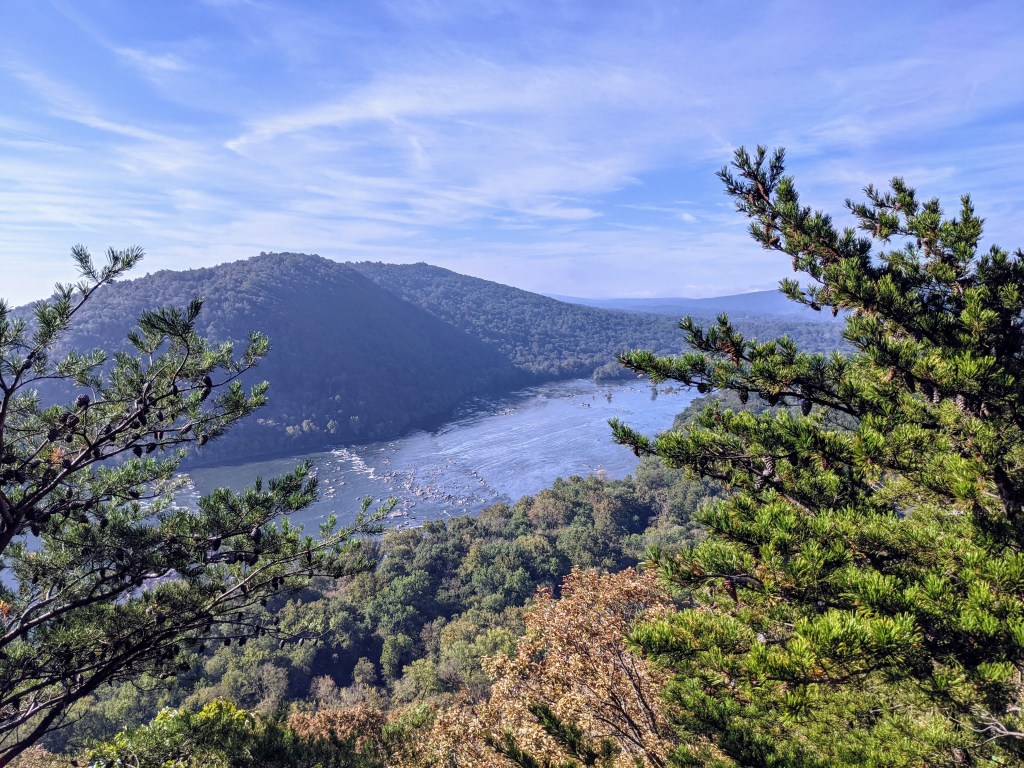
The views from the top of Weverton Cliffs are magnificent! You can see a much wider panorama than from the other two mountains. Weverton definitely has the best views.
Here, I’m looking down on the Potomac River and across to Short Hill Tract mountain:
This was peak number two in the bag! So far, so good.
I had a short break on the top of Weverton Cliffs to enjoy the view. I could still see the summit of Maryland Heights, enveloped in cloud, and also Loudon Heights, which I still had to reach.
The flat miles back along the canal to Harpers Ferry were tiring. My back ached but I was spurred on by the thoughts of coffee and bagel from Battlegrounds Cafe in town. Harpers Ferry was teeming with people by the time I reached lower town again, such a contrast to first thing in the morning.
The bagel and coffee were every bit as good as I hoped, and made for a thoroughly satisfying lunch break!
Lower town looked splendid as always:
Suitably replete, I walked through town on the A.T. with Lexi, before saying goodbye and heading up Loudon Heights, for a final showdown.
I crossed 340, over the Shenandoah River, having already walked 16.5 miles rather than the usual 1 mile if I was doing Loudon Heights from home. But I felt great and was excited to continue my hike.
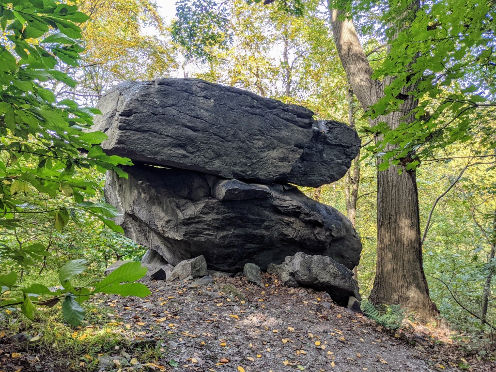
The ascent was tiring, I’m not going to lie. I was weary, but happy. All I had to do was keep plodding up the hill, passing Split Rock on my way to the lookout.
The view from Loudon Heights lookout never disappoints and today the air was super clear, so I could see for miles. Lower town and the train bridge looked sharper than usual, as if they were in better focus than earlier in the summer when it was more hazy. I took a good break at the lookout to enjoy the view (and the rest!).
Loudon Heights lookout was the third peak in the bag!
Looking upriver to the confluence of the Shenandoah and Potomac Rivers and enjoying a tasty apple.
Looking across the Potomac River to Maryland Heights, which I’d climbed early that morning.
Overall, it was a fantastic, long day out that gave me a solid challenge and a decent sense of accomplishment.
I find days like this make memories that last a lifetime, that nourish me for months, even years to come. I cherish these days because they’re so fulfilling, in a different way to other aspects of life.
Just a quick post to show some photos of the incredible cloud inversion I saw on a recent hike up Maryland Heights.
My original plan was to hike the Stone Fort loop, but as I crossed the river through the cloud and then climbed higher on the trail, I knew there was a good chance of seeing a cloud inversion. So I skipped the Stone Fort loop and headed for the lookout. It was spectacular and there was no one else around!
Harpers Ferry rose out of cloud like an island, with thick fog clinging to the river valleys of the Potomac and Shenandoah rivers.
It was a stunning morning!
Panorama from Maryland Heights overlookView of Harpers Ferry from Maryland Heights overlookView looking upriver of the Potomac River, with the cloud creeping up the side of Maryland HeightsI was a tad excited with the views on this occasion!As the sun rose, the cloud thinned and Harpers Ferry lower town emerged fully, bathed in sunshine.