I’m slowly section-paddling the Potomac River, mostly on a standup paddle board and using my bike to shuttle. Including this trip, I’ve done from Cumberland Valley Hiker-Biker Campsite downstream to Monocacy Aqueduct (excluding about a mile either side of Dam 4, which is definitely NOT paddle-able).
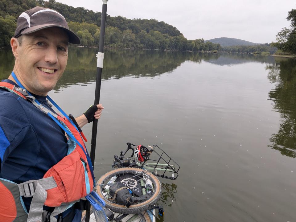
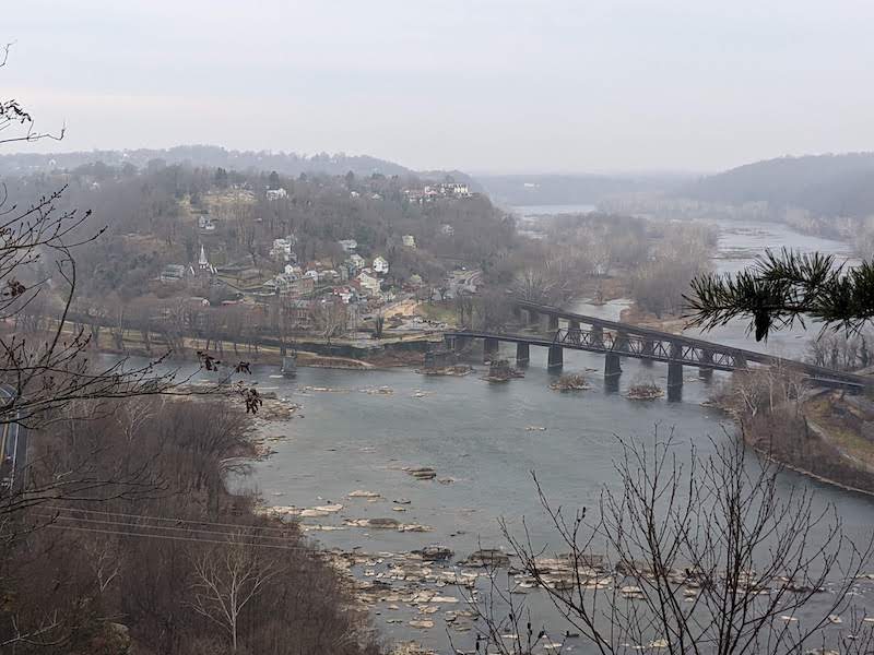
For this trip, I rode from Harpers Ferry to the Lander Boat Ramp, which is about halfway between Brunswick and Point of Rocks. There, I inflated my SUP, strapped on my bike, and paddled down as far as the Monocacy boat ramp. From there, I packed up the board and rode home.
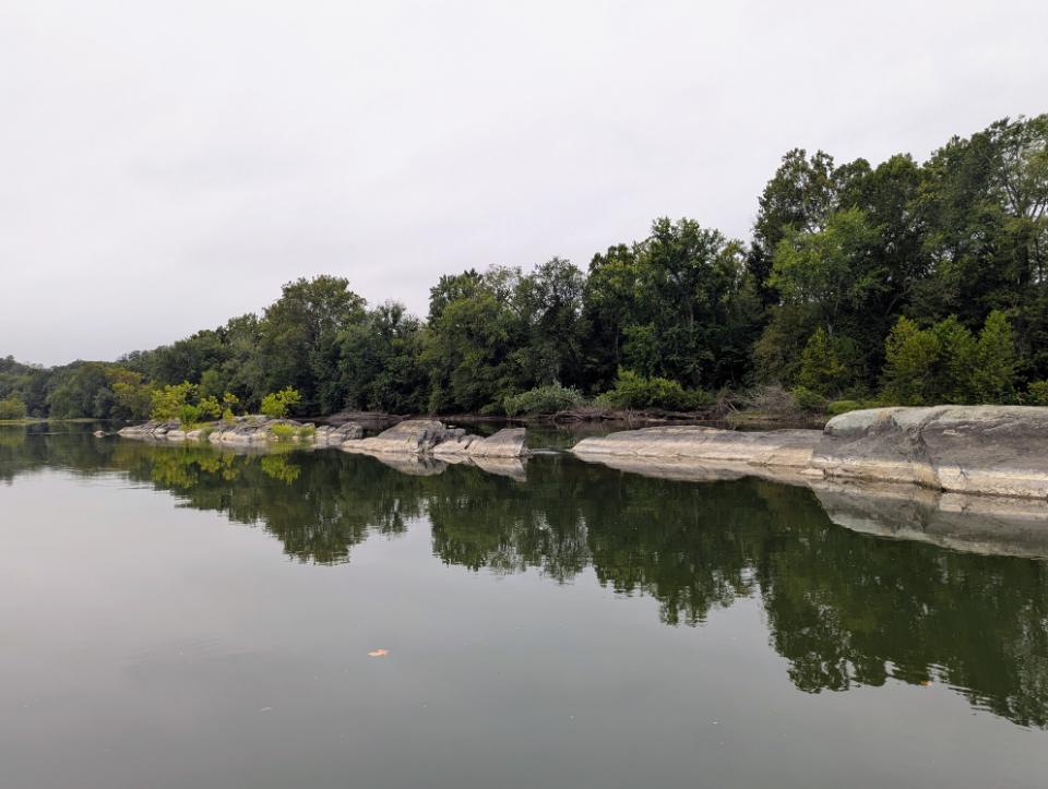
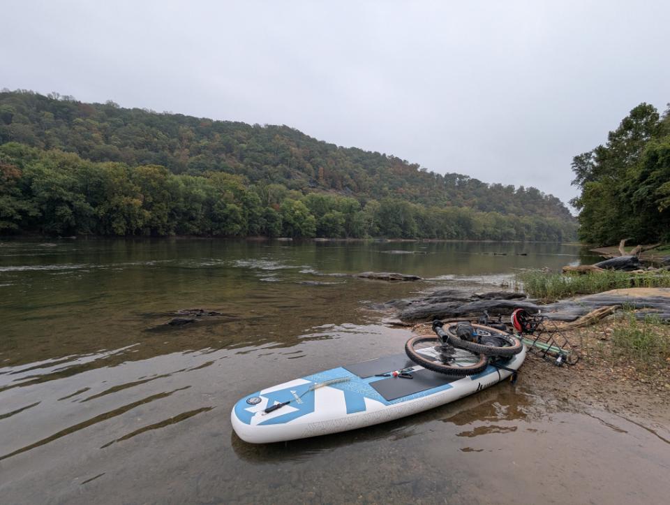
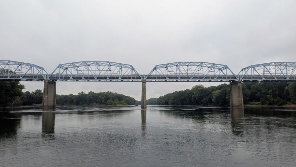
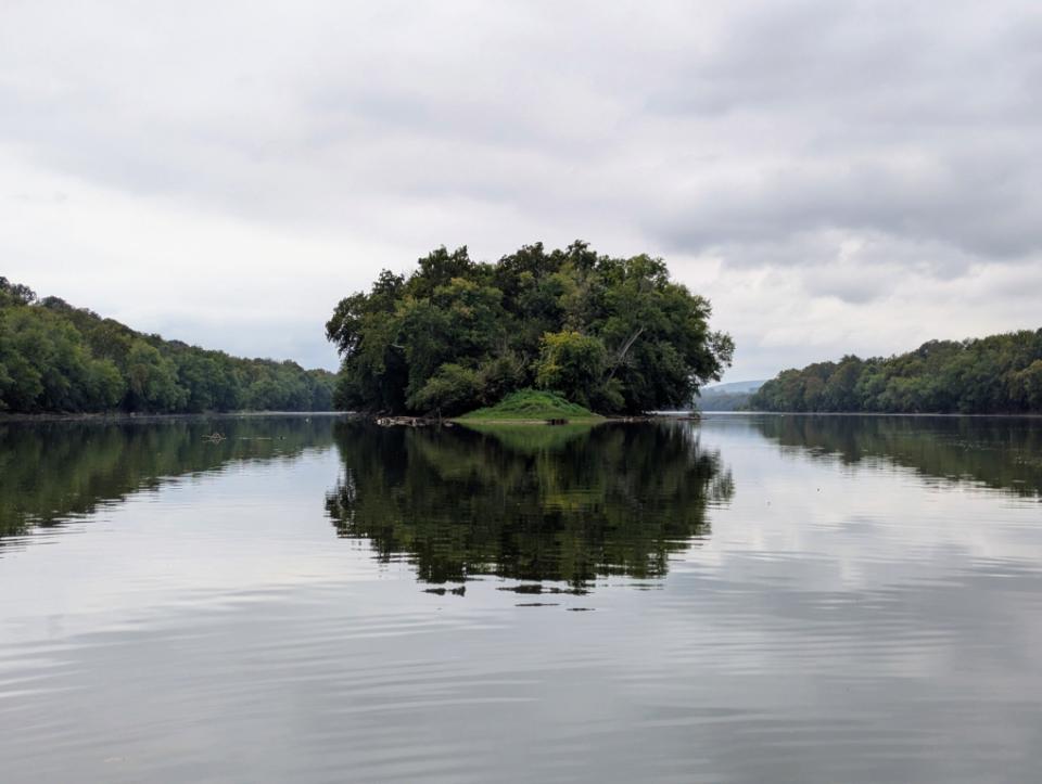
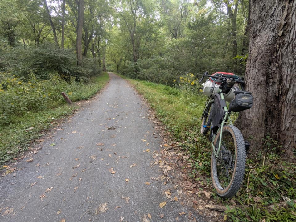
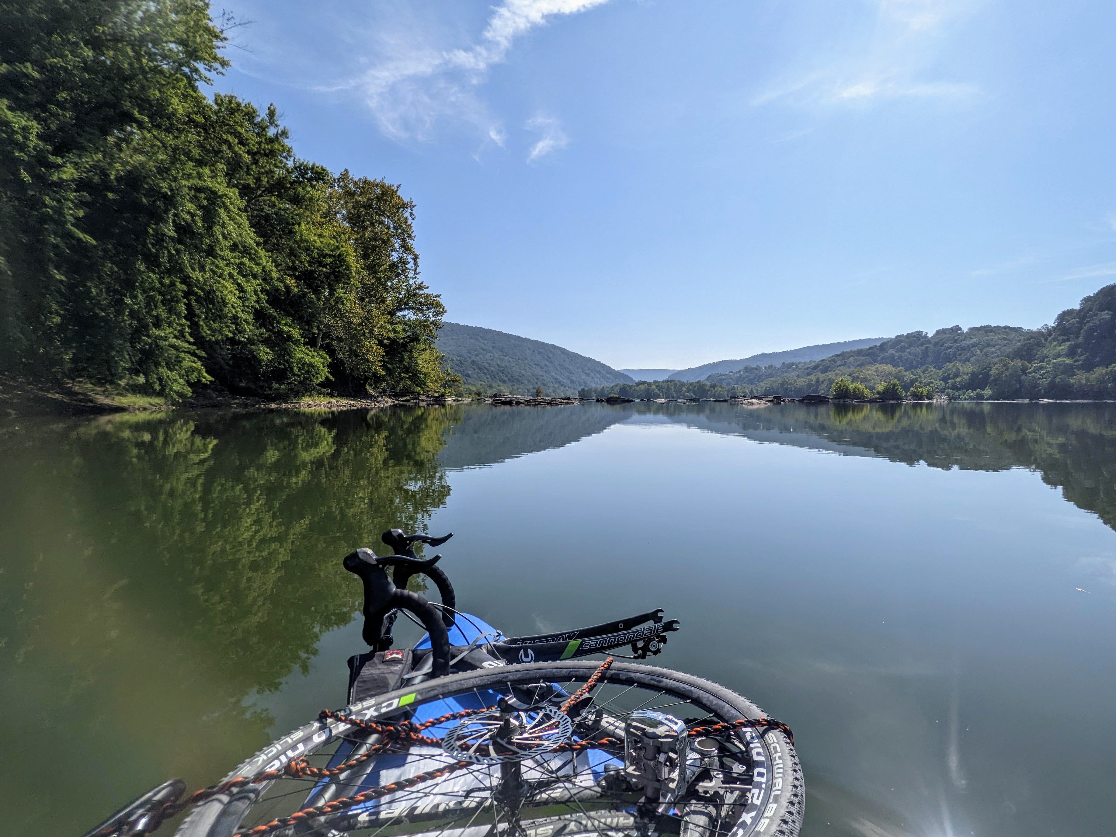
Biking along the C&O canal with the SUP and paddle rolled up on the front rackPreparing to launch at Lander Boat RampTypical scenery along the riverIt just about fits!The river got super shallow in the braids between the little islands, just upstream of Point of RocksLunch stop on Paton IslandPoint of Rocks Bridge (US15)Looking back upstream towards Cox Island. I came down the left channel (right in this photo).Dickerson Power Plant, close to Monocacy AqueductMonocacy Aqueduct, which I paddled underBike loaded up again for the ride home, Monocacy Boat RampChill 20 miles home on easy trails
A selection of photos from lower town Harpers Ferry, December 2022. The town does a great job of making the town look pretty for Olde Tyme Christmas.
Looking up High StreetChristmas decorations on the Potomac StaircaseThe excellent Battlegrounds Coffee cafe resplendent in Christmas colorsSt. Peter’s ChurchHigh St
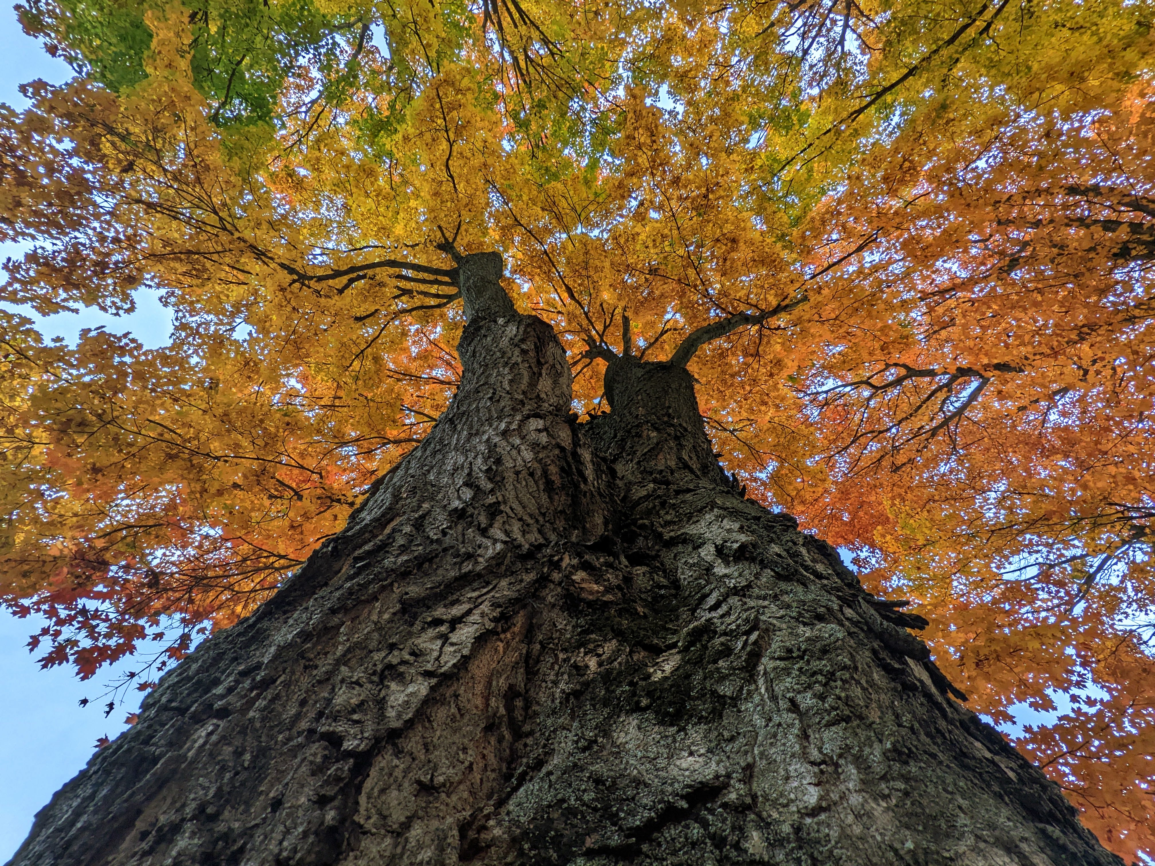
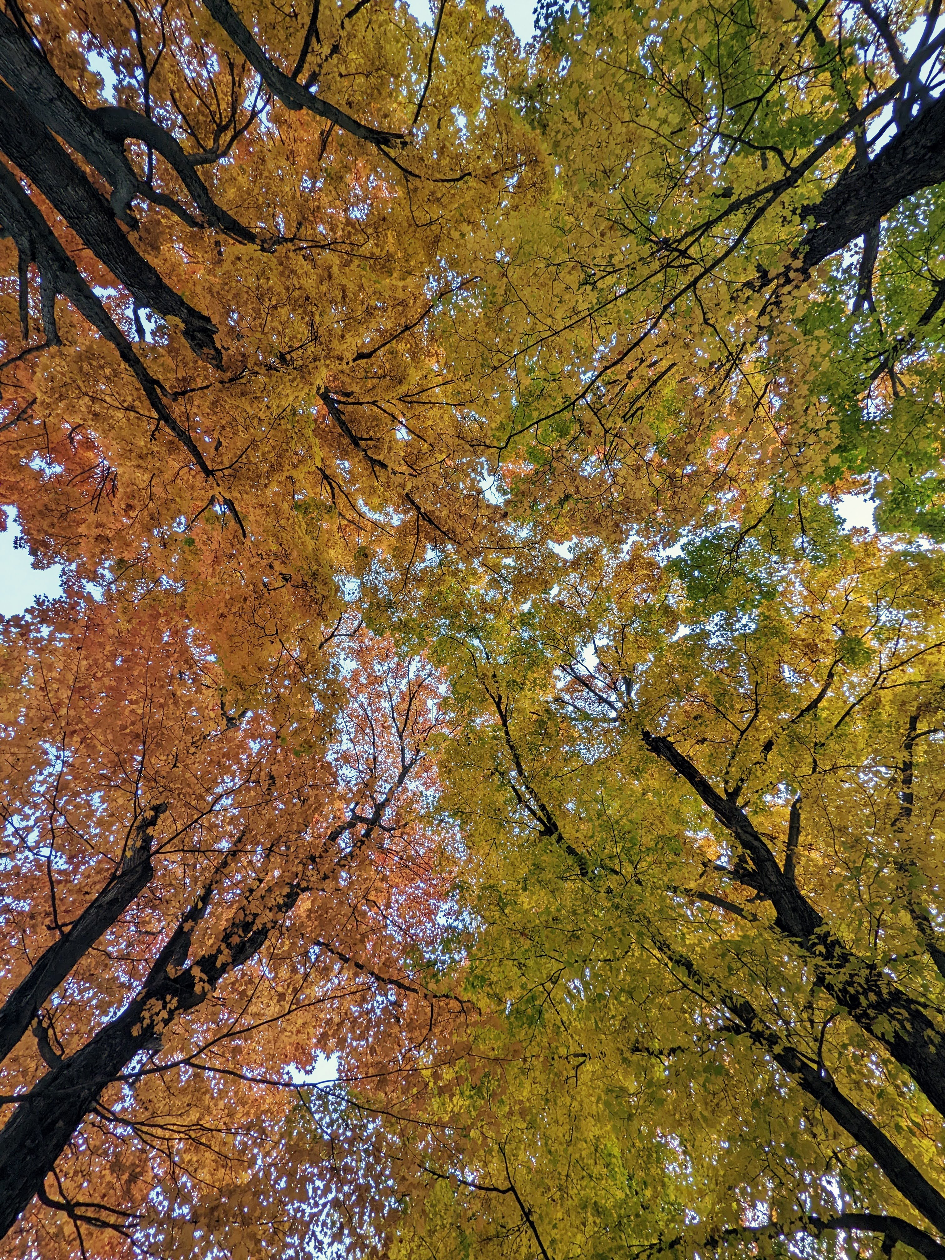
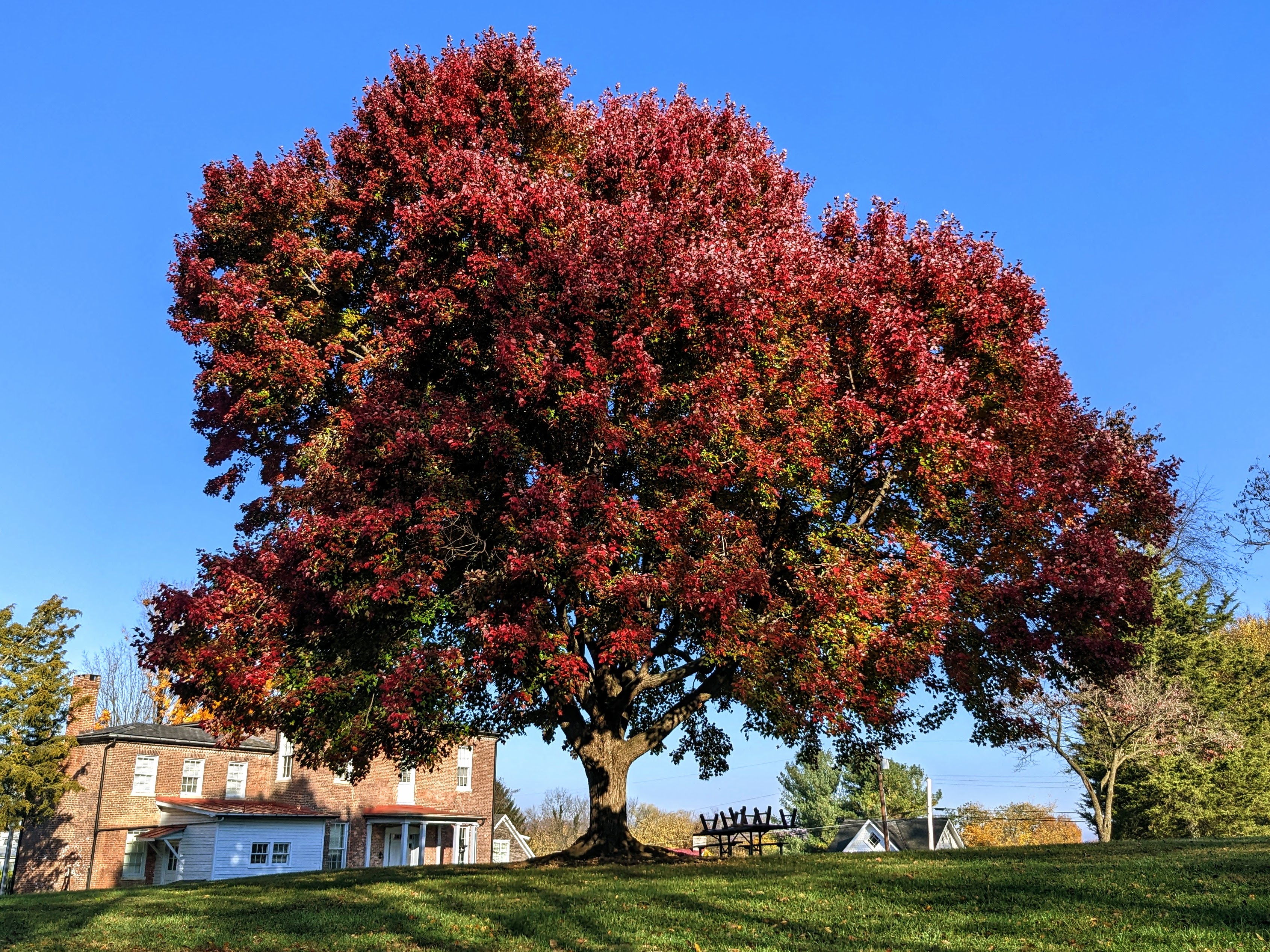
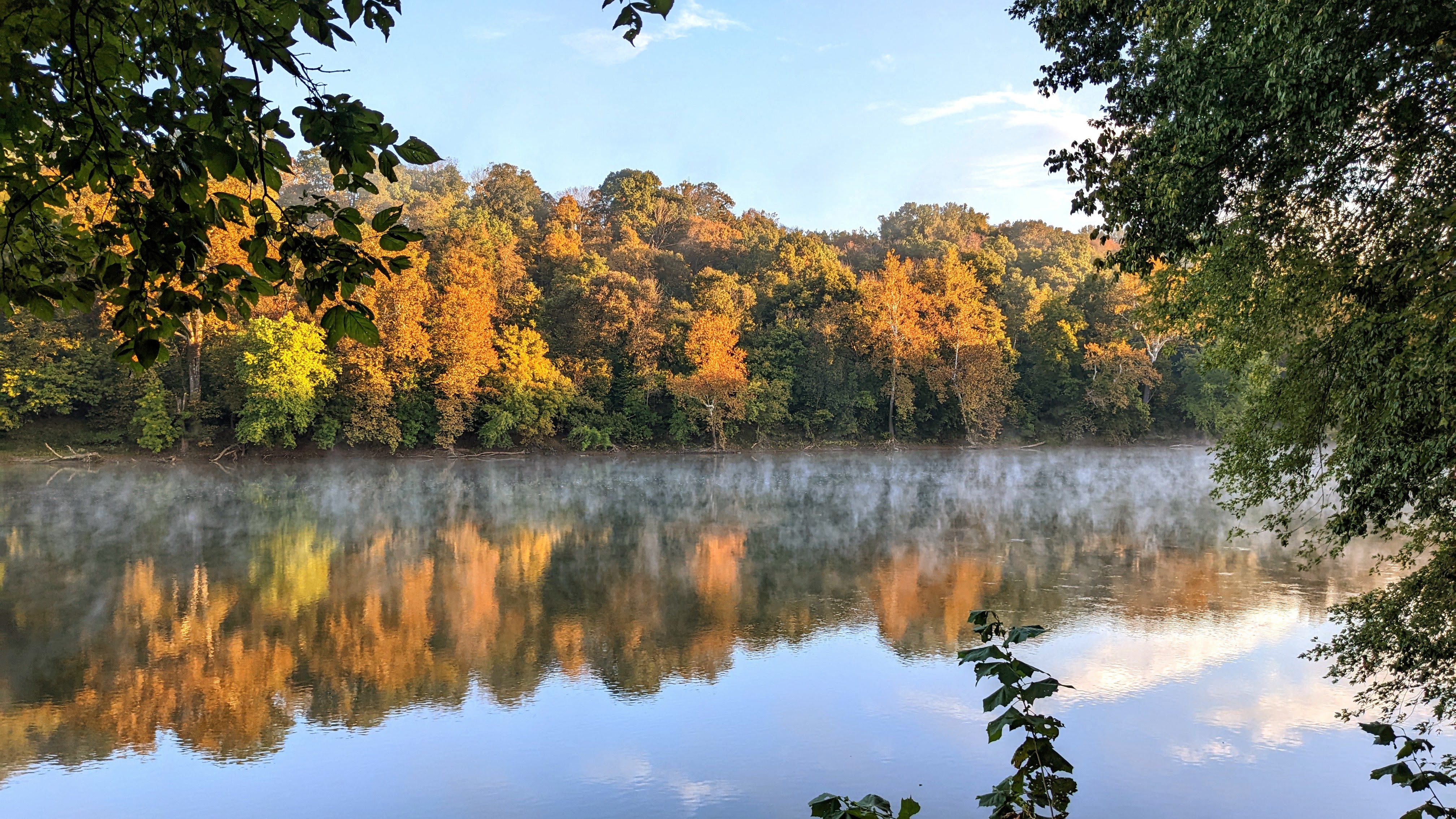
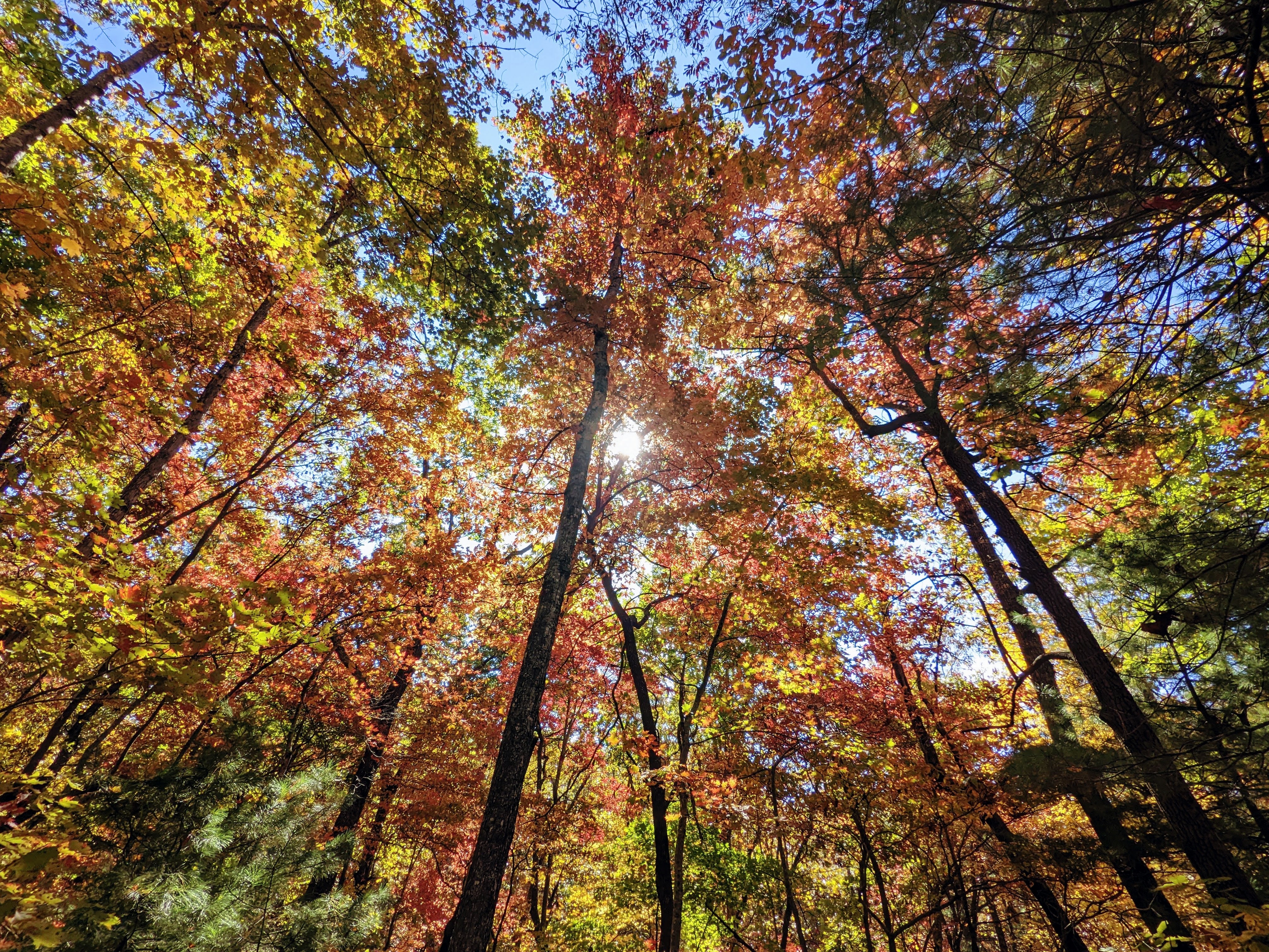
November 3rd: The fall colors were especially vibrant this year and although we’ve passed the peak, there is still plenty of color around.
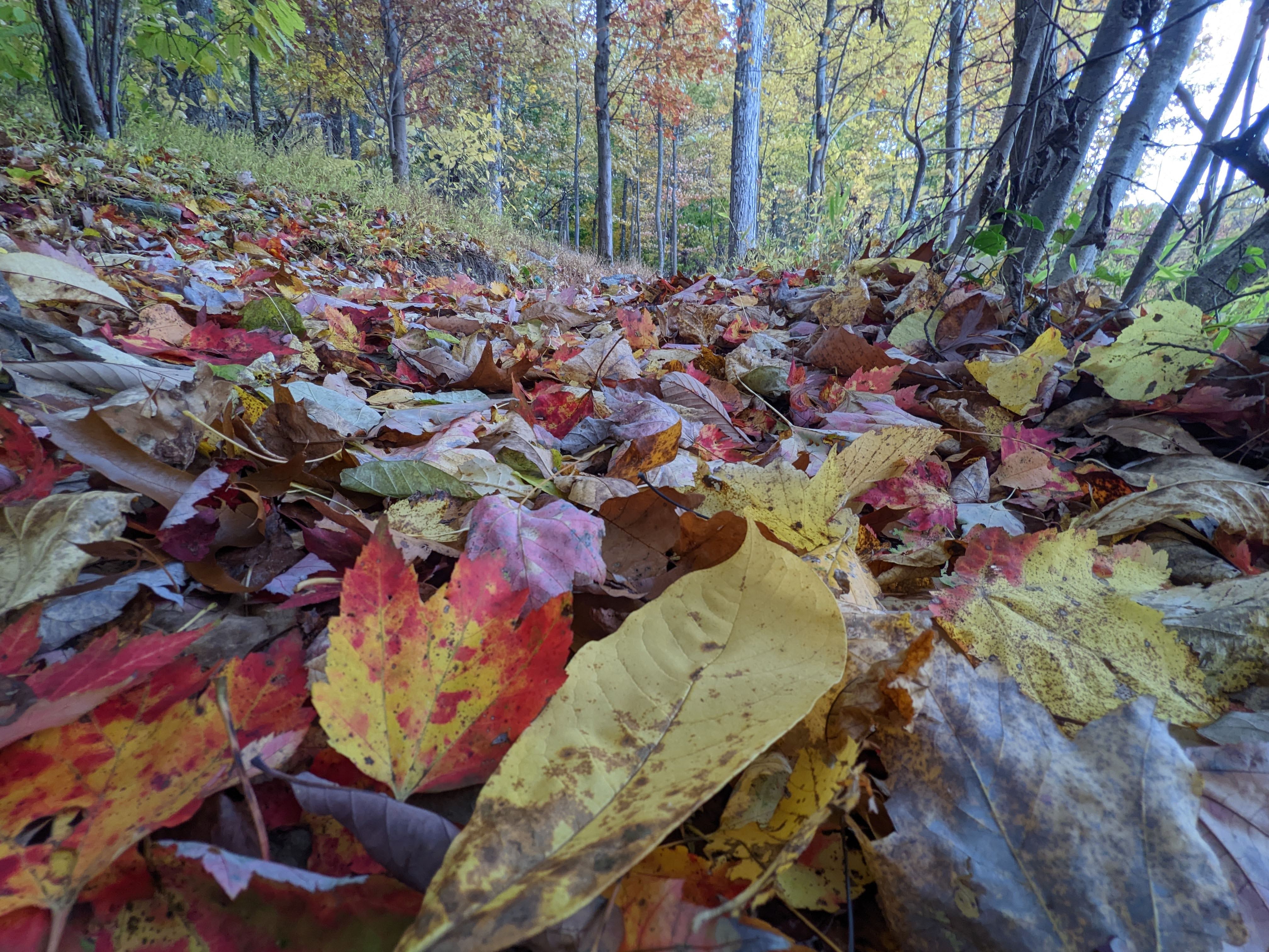
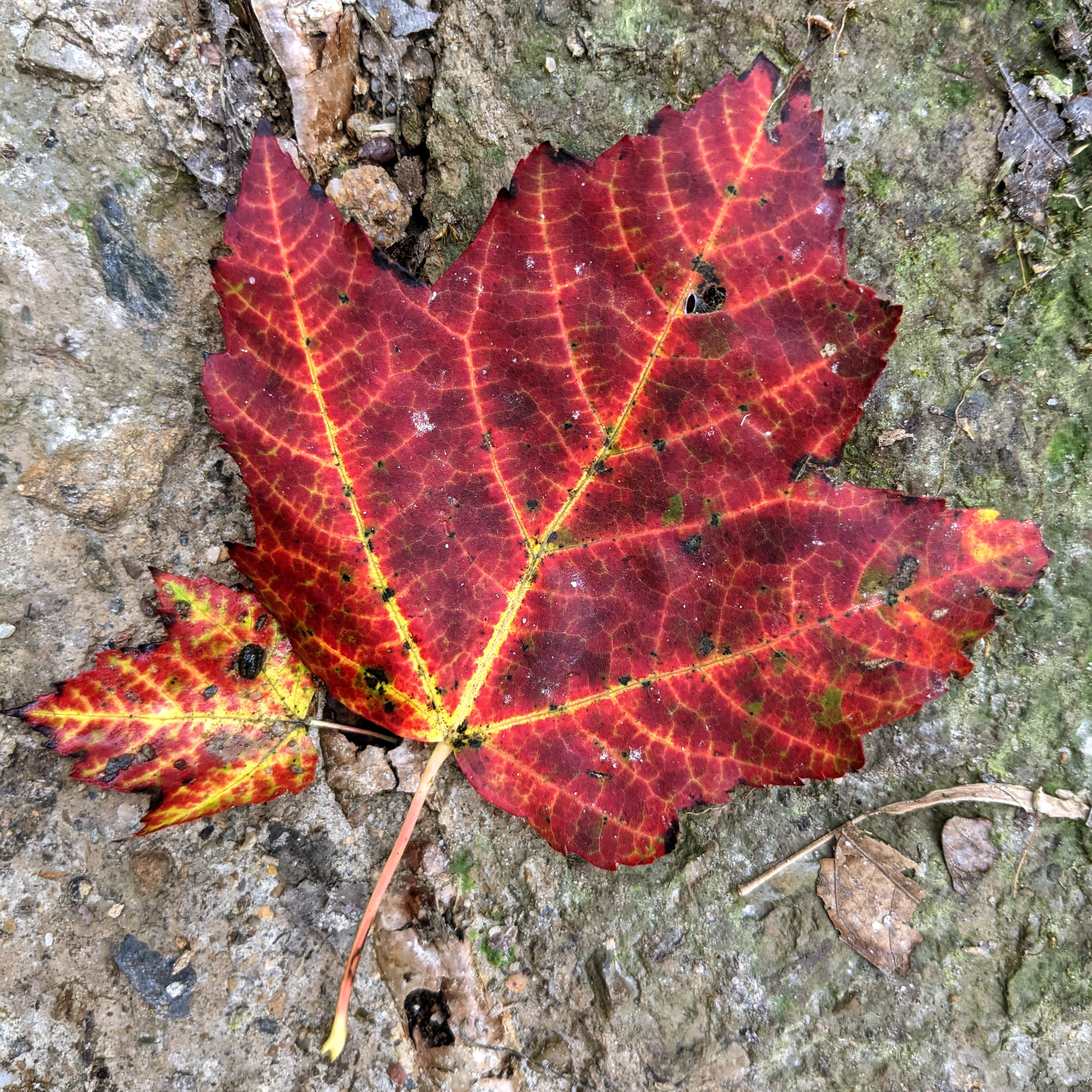
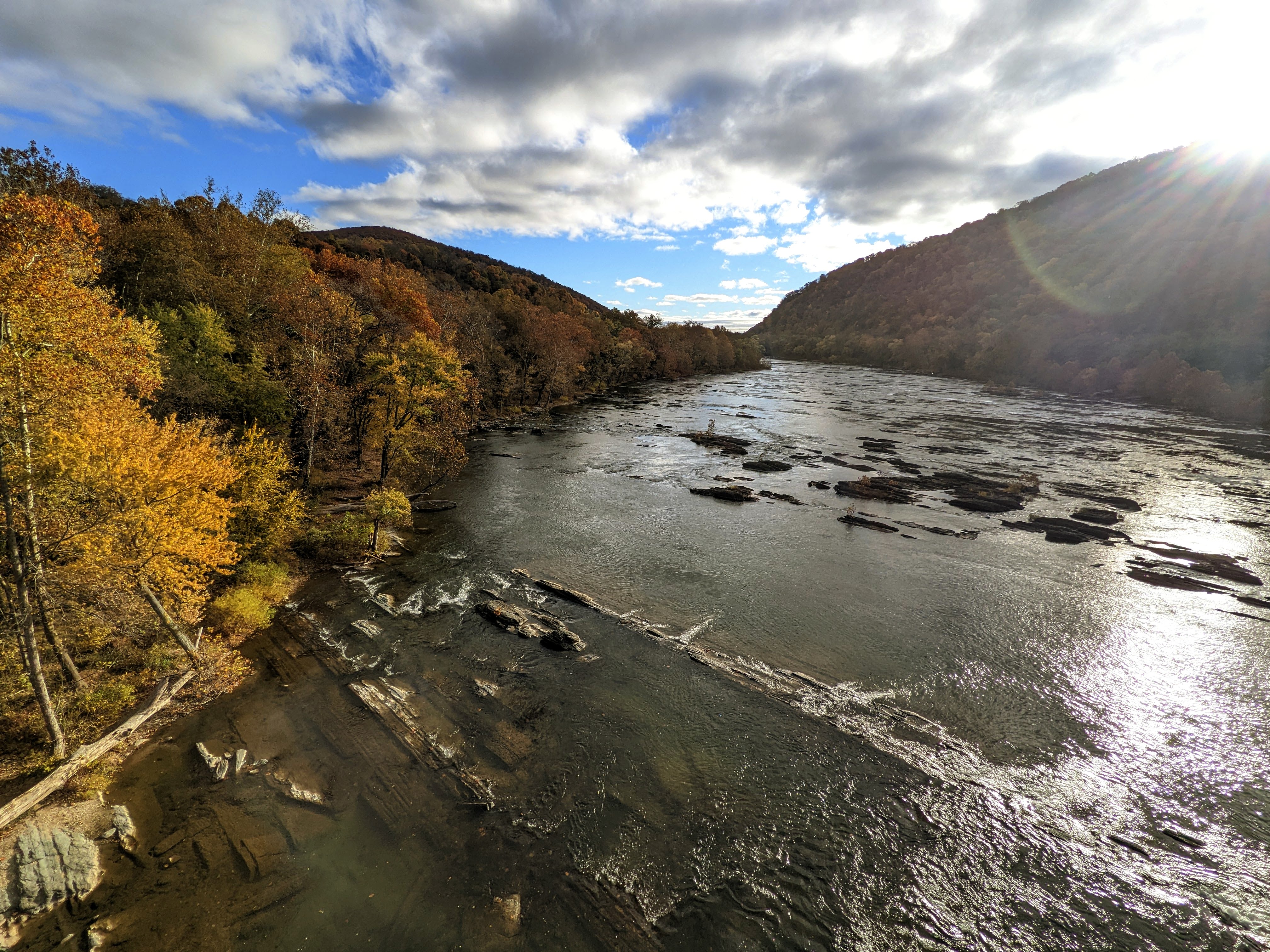
As I was organizing some photos after a recent hike, I realized I had a lot of shots of the fall foliage that were in danger of disappearing on my hard drive. So here they are!
They’re not presented in any particular order. All the photos were taken on a Google Pixel 5 smartphone and lightly edited in Google Photos.
Harpers Ferry Area, West Virginia
Sugar Maple Trees on Bolivar Heights, October 25th.Another view of the same sugar maples on Bolivar Heights, October 23rd.View up to the canopy of these same trees, Bolivar Heights, October 23rd. You can see which side faces south and catches the sun.Looking up between the rows of Sugar Maple trees, Bolivar Heights, October 23rd.Beautiful red tree between Lockwood House and Brackett House, on the former Storer College campus, November 3rd.Behind the Lewis Anthony Library, Storer College campus, November 3rd.The trails are all covered with beds of leaves at the moment. This is on the way up Loudoun Heights, October 27th.Sugar Maple leaves on the trail up Loudoun Heights, October 13th.Reflections in the Shenandoah River from Shannondale Springs Wildlife Management Area, October 30th.Crossing the Shenandoah River on US340, October 27th.Reflections in the Potomac River, October 10th.Ruined canal house underneath the cliffs at Maryland Heights, November 2nd.Rail bridge over the Potomac River, November 2nd.
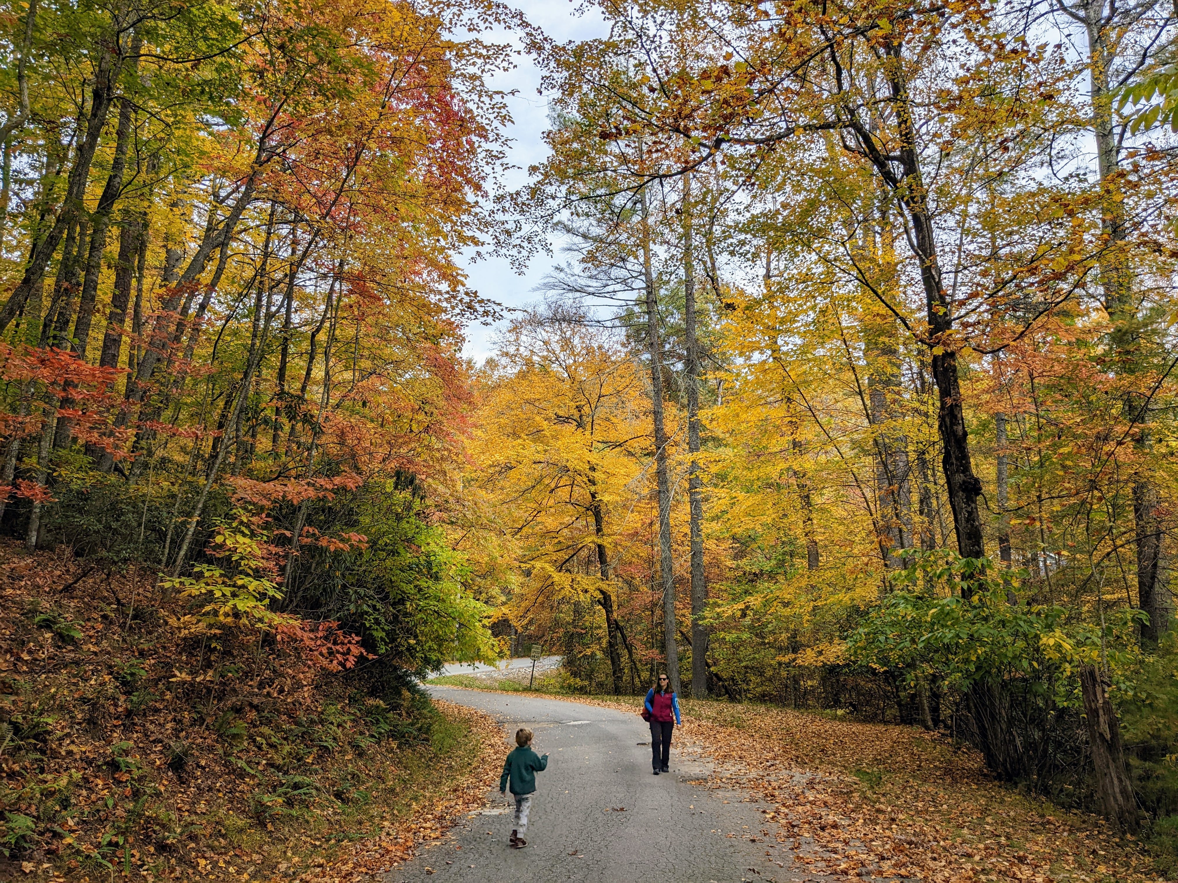
Asheville area, North Carolina
We spent a week near Asheville, NC, in October for the Founders Summit conference. We took the whole family and managed to fit in a few short hikes during the week. The fall colors were stunning.
Wintergreen Falls, Dupont State Forest, October 17thAt Kanuga Inn & Lodging campus for the Founders Retreat conference, October 16thFrom a walk on the trails at Kanuga Inn, October 19thHickory Nut Falls, Chimney Rock State Park, October 20th
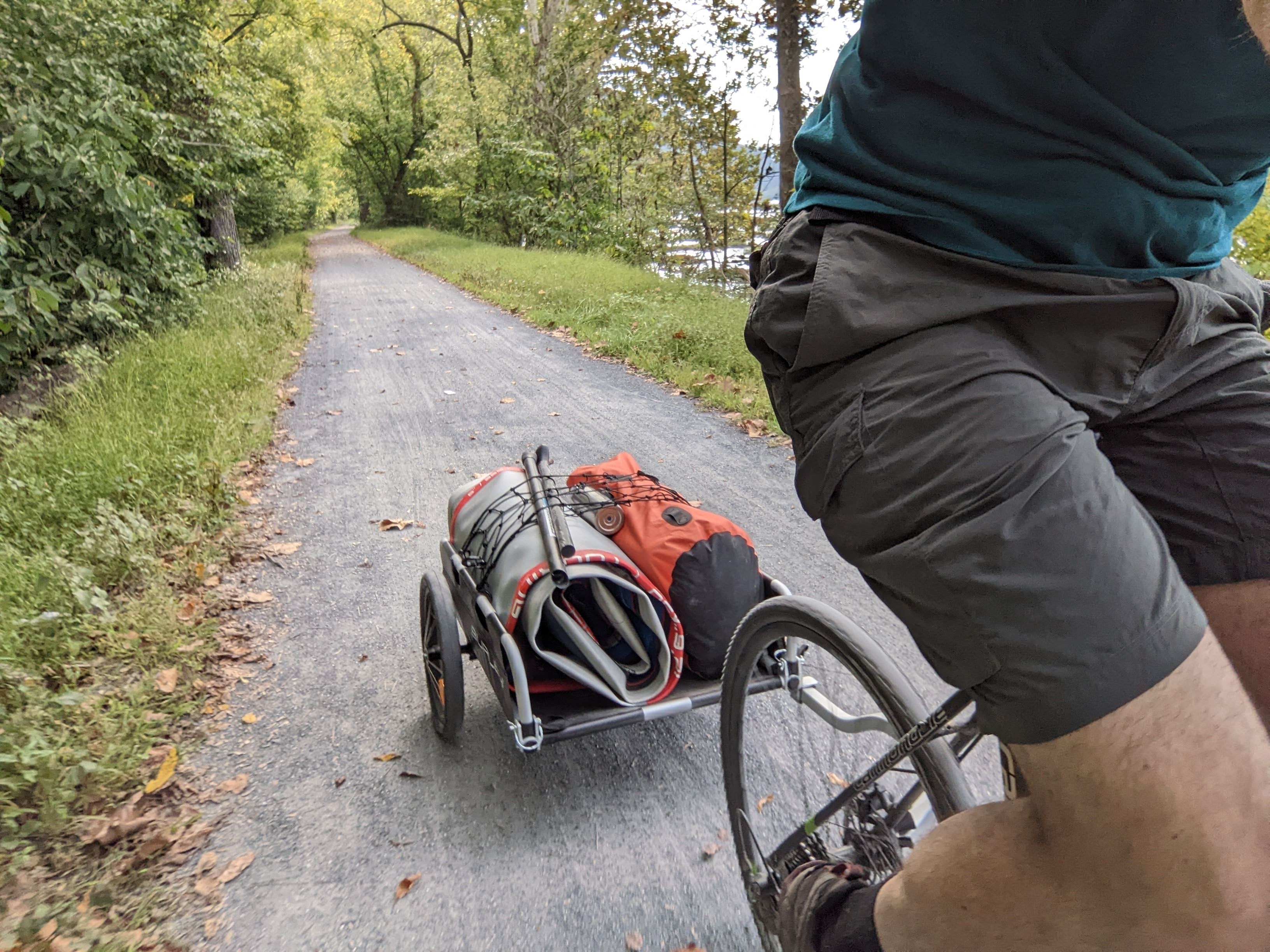
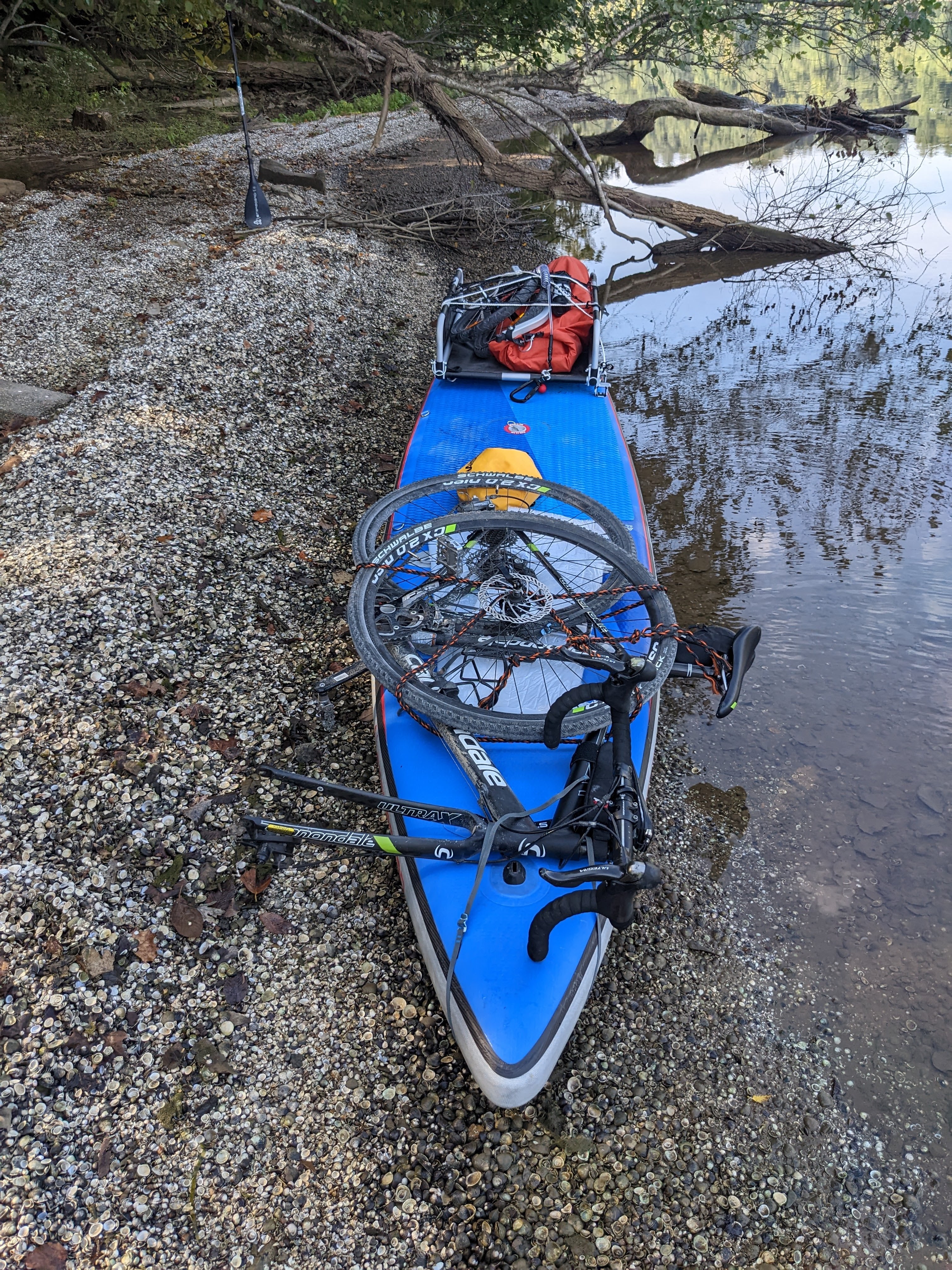
Bike & Standup Paddle-board / 8.8 miles (bike) & 1.8 miles (SUP) / 3 hrs 7 minutes / River level 2.2 ft
Some brief notes from my bike SUP test mission. I rode along the C&O canal to Huckleberry Hill campsite, transferred to the river for a couple of miles, and then loaded up again and rode home.
Bike loaded on the front of the paddleboard
I’ve wanted to do this trip for a long time, to combine two of my passions: biking and paddleboarding.
Biking with a paddleboard
This is the easier of the two configurations. Paddleboards are heavy and bulky so the trailer is a great tool to use.
It would be hard to ride with the SUP backpack, they’re not that portable. For backpacking, packrafts would be a better option.
The trailer is easy to ride with and barely noticeable, until you start riding uphill. And then it becomes VERY noticeable.
The ride up the hill from the C&O towpath was much harder than usual (without the trailer). My legs were like jelly by the time I got home 😉
Paddleboarding with a bike
This is the more challenging of the two modes of travel. You need to ensure the bike and trailer are strapped on tightly and balanced (left to right and front to back). Also, you need to leave enough room to stand and paddle comfortably.
I put the bike on the front, with the front wheel removed. I used Sea to Summit Hook Release Accessory Straps to attach the bike and cord to tie down the front wheel and the trailer. (I’ve ordered more of those straps for next time though.)
I used some packaging foam as padding under the bike, to protect the board from abrasion.
The bike mounted on the board
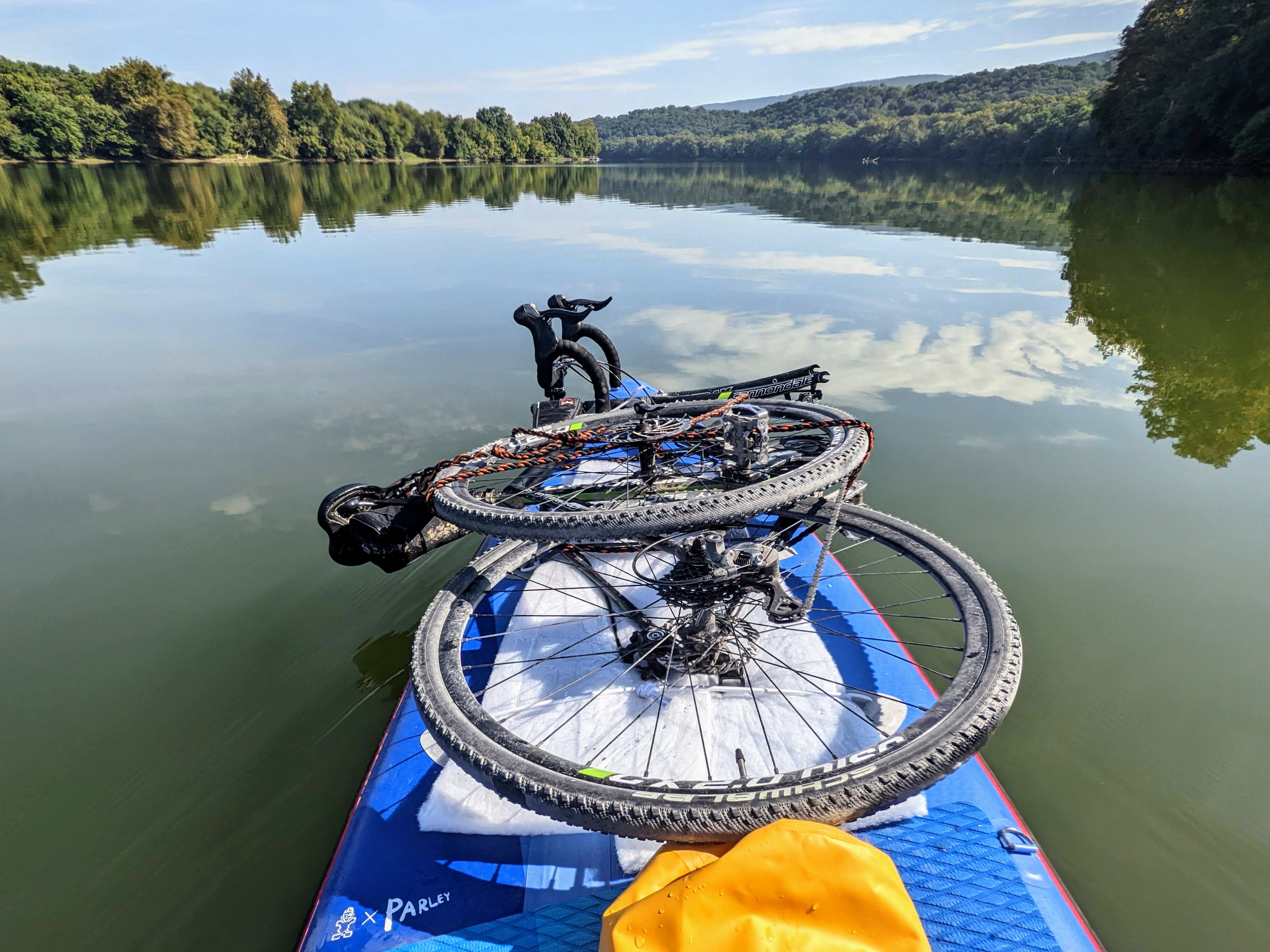
It worked really well!
I had to be slightly more careful when paddling, mainly because I didn’t want to fall onto the bike. On flat water I could barely notice the extra weight though, and the stability was not affected.
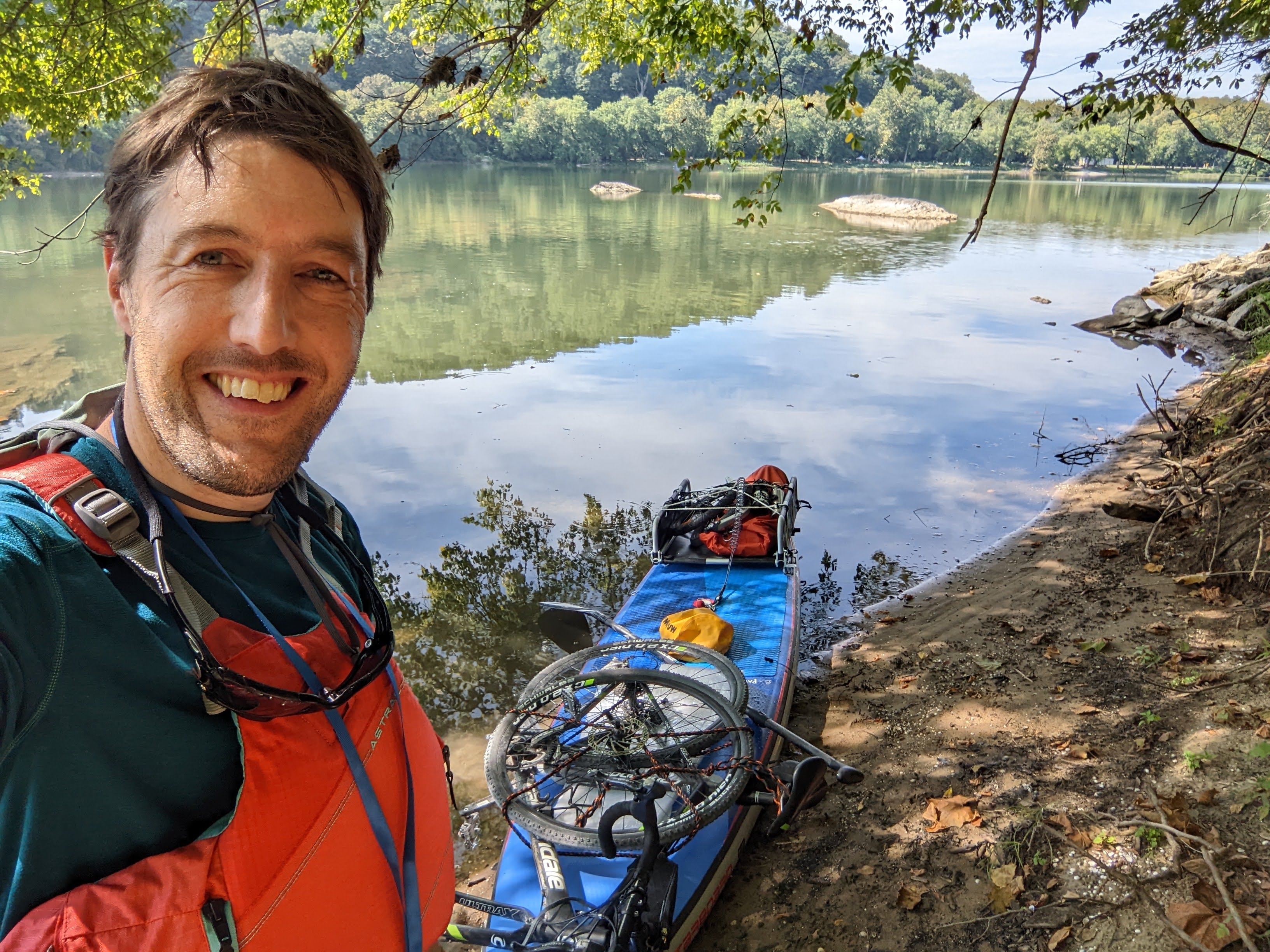
The small yellow dry bag held a few accessories like sunscreen and snack barsApproaching Harpers Ferry. Maryland Heights is the mountain on the left skyline.At the takeout, getting ready to transfer back to the bike to ride home
My brother — ordinarily based on the other side of the world in Australia — made a surprise visit to see us here in Harpers Ferry, in December 2021.
With the pandemic, it’s been over 2 years since we last caught up in person. Last time we had an amazing hike around the Glyders in North Wales. What would we do this time?
Here’s a breakdown of our hikes from the week:
Thursday 12/9: Bolivar Heights loop: 3.57 miles, 442 ft ascent, 1 hr 15 mins
Friday 12/10: Armory Trail loop: 4.53 miles, 408 ft ascent, 1 hr 43 mins
Saturday 12/11: Hike to lower town with Pete, Lexi and the boys: 3.73 miles, 338 ft ascent, 2 hrs 52 minutes
Sunday: 12/12: Chicken Power event with Pete, Lexi and the boys: 1.46 miles, 300 ft ascent, 45 minutes
Monday 12/13: Three Peaks with Pete (Weverton Cliffs, Maryland Heights/Stone Fort, and Loudoun Heights): 24.27 miles, 4,304 ft ascent, 11 hrs 36 minutes
Wednesday 12/15: To the Power Lines and back with Pete and Lexi: 10.65 miles, 1,778 ft ascent, 5 hrs 5 minutes
My mum and her partner Dave then arrived (I knew about this trip!) a week later too, so I had a lot of my UK family together for the first time in over 2 years.
My mum didn’t know about Pete’s arrival, so he surprised her with a wonderful prank 😉
Thursday 12/16: Walk around the neighborhood with Pete, Lexi, Mum, and Dave: ~2.5 miles (forgot to do Strava)
Sunday 12/26: Weverton Cliffs from home with mum, Dave (second half), Lexi and the boys (for the climb): 11.64 miles, 1,182 ft ascent, 6 hrs 22 minutes
Monday 12/27: Bolivar Heights with Lexi and Dave: 2.22 miles, 215 ft ascent, 45 minutes
Thursday 12/30: To the Hilltop Hotel lookout with mum: 2.14 miles, 230 ft ascent, 40 minutes
Loudoun Heights, Saturday 12/11
I’ve written about the two longer hikes (3 peaks and Raven Rocks) separately but here are a few photos from our hike up Loudoun Heights. As this is my go-to mountain trail, I was excited to show it to Pete.
Showing Pete the local trails (on the way up Loudoun Heights)Pete close to Split Rock lookout on Loudoun HeightsHarpers Ferry from Split Rock lookout on Loudoun HeightsBrothers at the lookout on Loudoun Heights, 11 December 2021