Thousands of tired, nerve-shaken, over-civilized people are beginning to find out that going to the mountains is going home; that wildness is necessity; that mountain parks and reservations are useful not only as fountains of timber and irrigating rivers, but as fountains of life.” – John Muir
Wise words, and more so than ever before in this day and age. I was, or rather more accurately, am, one of those tired, nerve-shaken, over-civilized people and a return to the natural environment was the only likely cure to a cabin fever as bad as I’d felt in a long time. Since summer last year, I’d spent perhaps 6 or 7 days running or walking in the real outdoors (runs along the Thames in central London don’t count). Last year’s hard won experience had faded and the skills picked up during those journeys long since forgotten. It’s been a highly productive year in other aspects, but hardly a vintage outdoor year.
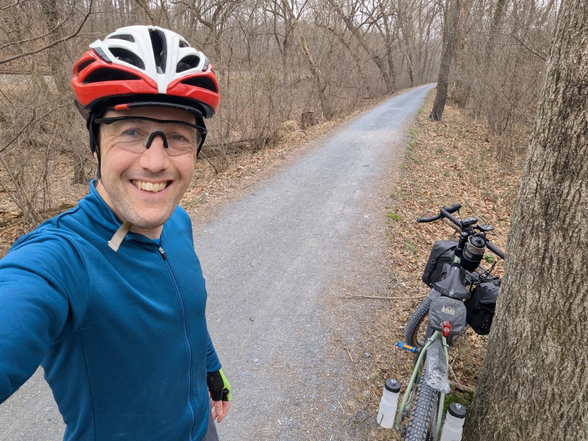
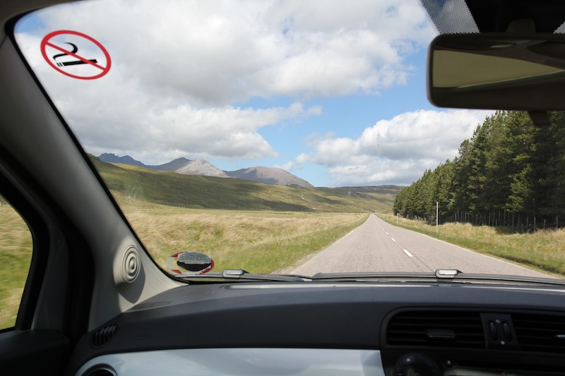
Day 1: Driving into the wilds. Fumbling around in the glove pocket, tuning the radio, tying bootlaces, looking at the map, then suddenly looking up and out. Boom. The mountains yonder. It’s the magnitude – the bulk – of these hills when seen from the roadside that causes a sharp intake of breath (ok, so this photo doesn’t quite convey this!). You notice the beauty second, as you exhale. This first glimpse of the mountains always sends my spirits soaring. Excitement builds as the adventures planned – Ed – can you plan an adventure? – for the following days are shortly to begin. Accompanied by my long time walking partner, Alistair, we planned to base ourselves at Shenavall bothy and spend a few days walking and scrambling in Scotland’s Great Wilderness.
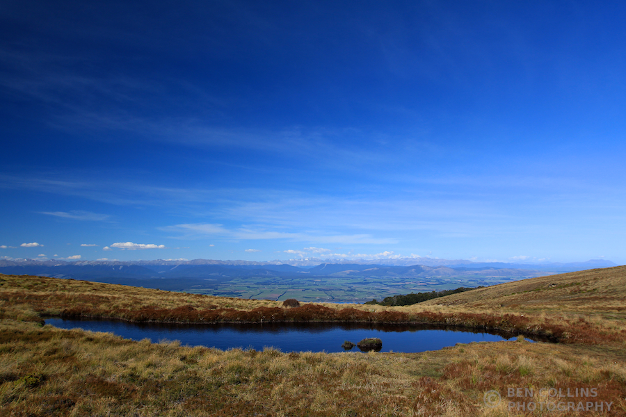
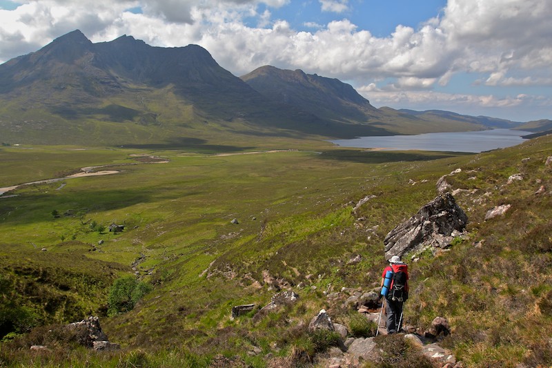
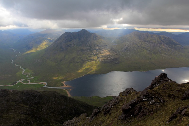
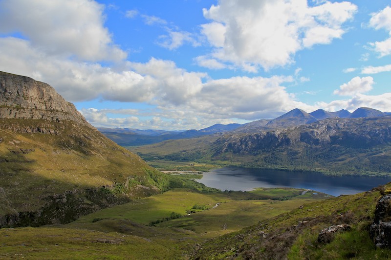
Roughly 6km after leaving the car, we crossed the shoulder of An Teallach and gazed down upon Loch na Sealga and the Great Wilderness. Before us lay a mountainous stronghold, peak after peak thrusting upwards; dark terrible citadels of the North West Highlands. Steep cliffs, striking ridges and crenellated summits promise much to the adventurous walker.
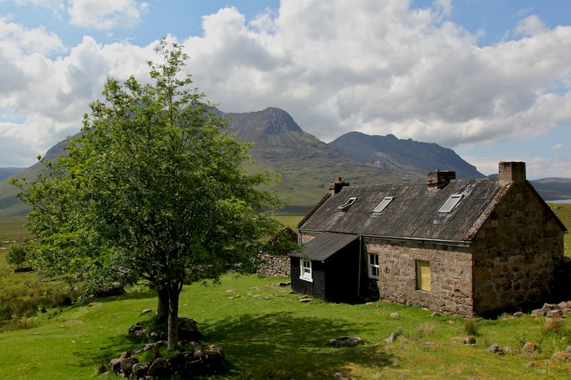
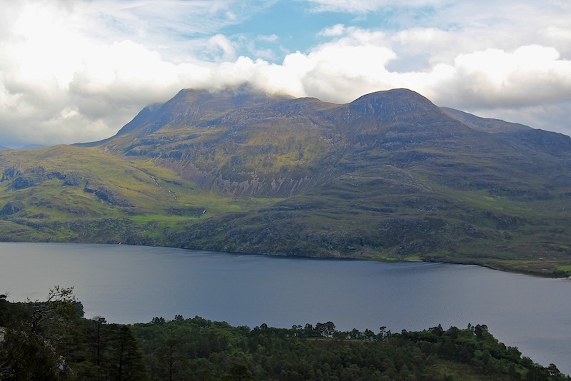
Shenavall Bothy, a remote and basic cottage in Wester Ross, with the corbett of Cul Beag Mhor behind. It’s a popular spot and justifiably so, occupying a splendid position in the heart of the Great Wilderness, right at the foot of iconic An Teallach (one of, if not the finest mountain on mainland Scotland).
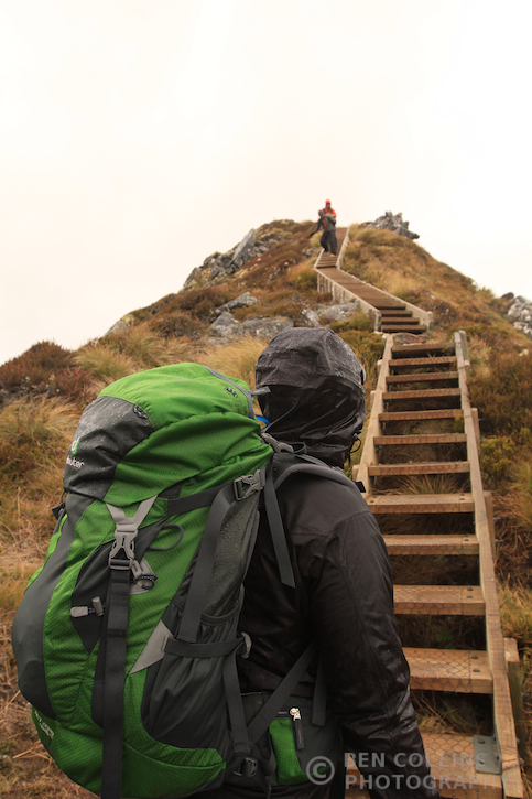
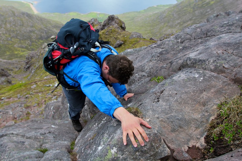
We dropped the camp gear at the bothy and had a late lunch of cheese and salami wraps. Leaving the bothy at 2.30pm for An Teallach wouldn’t normally be advisable but we had the month of June fighting our corner. He guaranteed us light until 11pm so we took heart and set off – to do what we mountaineers do best. Puff and sweat our way uphill, questioning exactly why we keep subjecting ourselves to such ordeals. Why we come back year after year. Of course, we all know why. The answer lies just a little higher, perhaps just along the ridge, cresting it and looking down into a new world. A world promising more beauty, wonderment and adventure. The photo shows Alistair heading upwards over the interminable boulder fields of Sail Liath, 954m, the first top on the ridge of An Teallach.

The splendid main ridge of An Teallach, from the summit of Sail Liath. The two munros are the prominent peaks to the left and right of the lowest point of the ridge in the centre of the picture. They are Sgurr Fiona, 1060m, and Bidein a’ Glas Thuill, 1062m. Between us and them lay a scramblers paradise, a rough, serrated ridge of impeccable sandstone.
Tempestuous weather filling in as we look to the west, towards the corbetts of Beinn Dearg Mor, 910m on the left, and Beinn Dearg Beag, 820m on the right. Clouds scudded in the from the south west, ending our hopes of scrambling along the ridge in late afternoon sun. The light was quite splendid where the beams of light pierced through the dirty quilt above our heads.
Now the fun begins. Alistair climbing the superb layback crack as we ascend one of the numerous pinnacles along the ridge. The climbing was easy enough, but exposed. The sandstone was rough and holds were plentiful, inspiring confidence and allowing the enjoyment of movement over rock to suppress those jangly nerves.

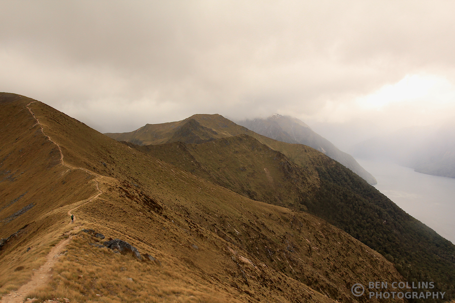
Further along the ridge, more exposure, more hands on experience. Elevated heart rate, blood pumping round the body, mind focussed entirely on the metre of rock above and below, only vaguely conscious of the wider surroundings. It was a thrilling mountain ridge – a noble opponent that didn’t yield without a good scrap.
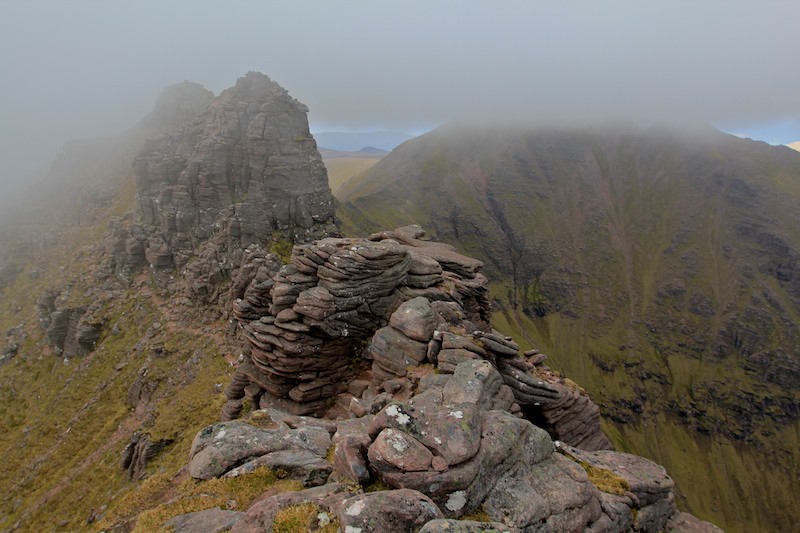
Looking ahead to yet more sandstone outcrops on the ridge, minutes before the cloud descended further and engulfed us. The infamous Scottish murk had finally settled in and held us in its grasp for the remainder of the evening.
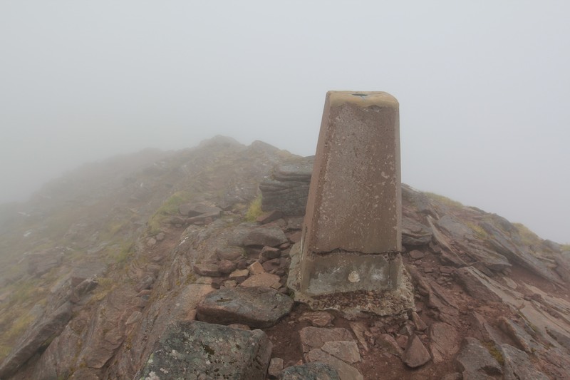
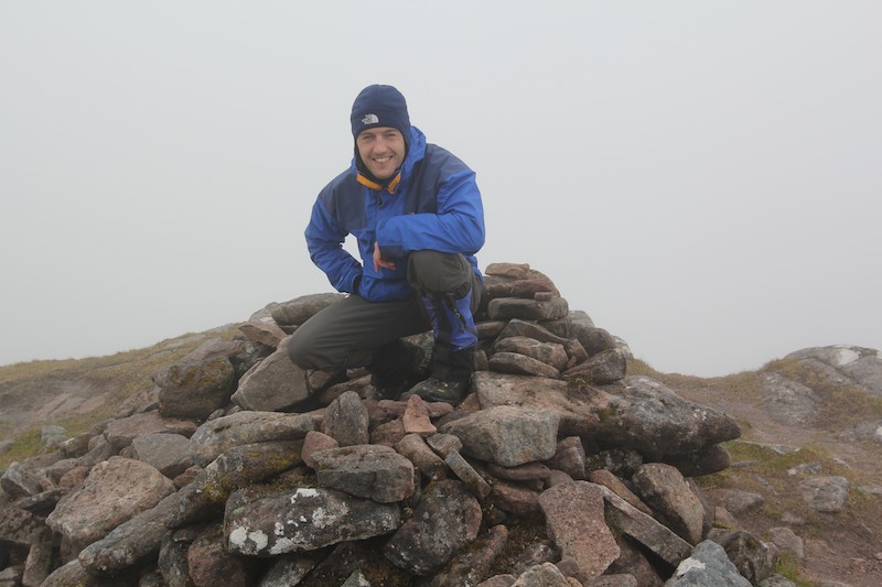
The summit trig point of Bidein a’ Glas Thuill, 1062m, the highest point of An Teallach. We reached the summit at 7.30pm in a good ole’ blow and thick, wet cloud.
Stopping to layer up in the worsening weather before the descent down to camp. It was past 8pm by now and 10.30pm by the time we reached our tents (pitched outside the bothy). Being so far North in the middle of June meant we had daylight until past 10 and it didn’t get properly dark until 11 so we could afford to have long days.

Day 2: The next morning, camp outside the bothy.

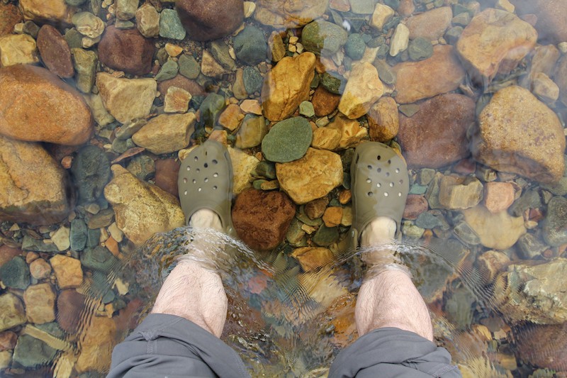
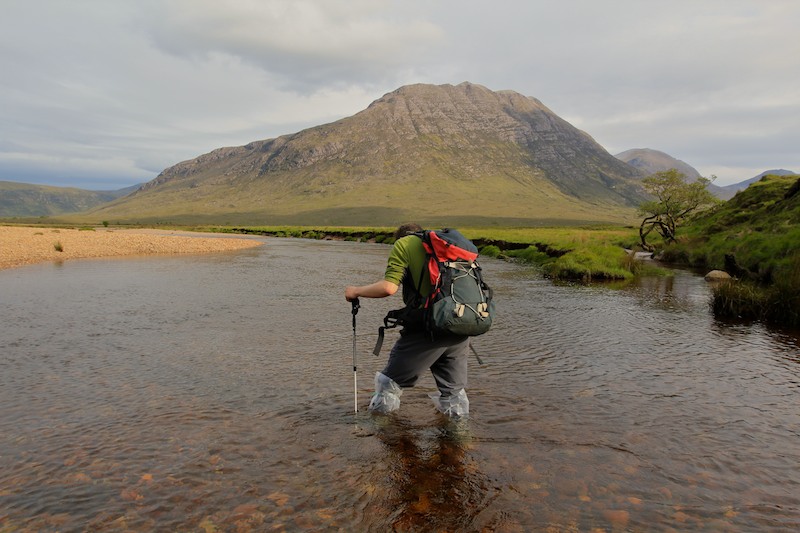
River crossing. Crocs borrowed off Alistair as I hadn’t really thought through my plan for the river crossings.
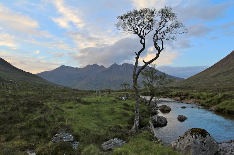
Wonderful views across to Beinn Dearg Mor and Loch na Sealga:

On the summit of Beinn a’ Chlaidheimh:

Celebrating with a dram of whisky on the summit of Sgurr Ban, Alistair’s 200th munro.

Alistair near the summit of Mullach Coire Mhic Fhearchair, looking back down the valley to Beinn Mor Dearg and our base near the head of Loch na Sealga:

We enjoyed a beautiful evening walk back down the valley, our weary legs carrying us home to camp:
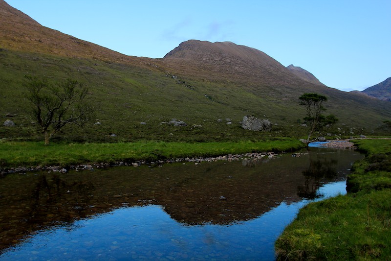
Looking back at the reflection of Mullach Coire Mhic Fhearchair in the evening light:
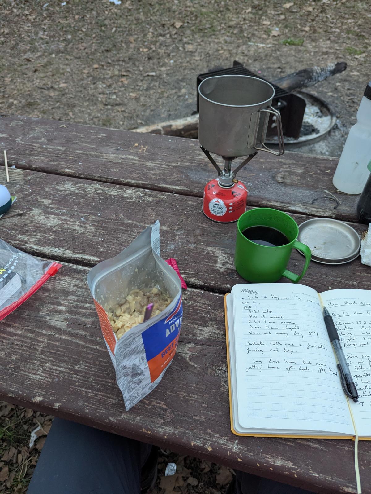
Day 3: Home, sweet home. A Golite Shangri-La 1 tent and inner, pitched with trekking poles. Inside a Rab Neutrino 200 sleeping bag, Karrimor roll mat, Platypus 3L water carrier, Golite Pinnacle rucsac, MSR pocket rocket stove, titanium billy and Asolo boots. Lastly of course, and most important of all, a cup of tea.

Scrambler’s eye view:

Views westwards to the sea from the summit of Beinn Dearg Bheag. Spectacular situation.

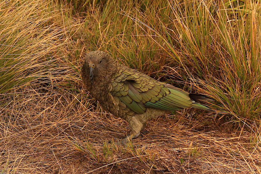
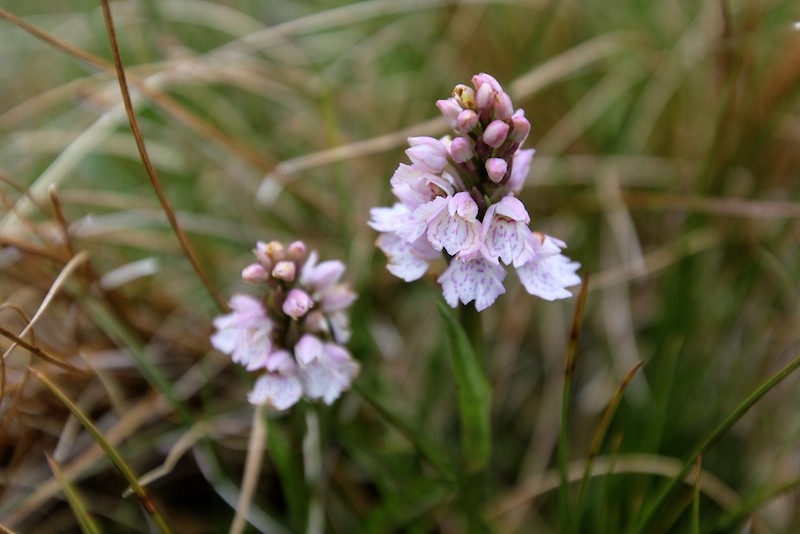
Wild flowers – some kind of orchid I think:
Loch Toll an Lochain and An Teallach’s western spur in the background. It felt unusual to be walking along a beach, half way up a Scottish mountain. But we were not the first – deer prints ran all the way along the beach, though we never saw the creator.

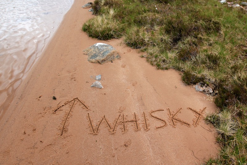
Whisky this way. On we press, a quickening of pace, grumbling stomachs hurrying us back to camp. A tricky descent down the outflow of the loch, down climbing a gorge over clumps of heather kept the senses sharp and the fatigue at bay.
Another crossing of our old friend the Abhainn Strath na Sealga river, with the first munro of yesterday, Beinn a’Chlaidheimh, in the background.
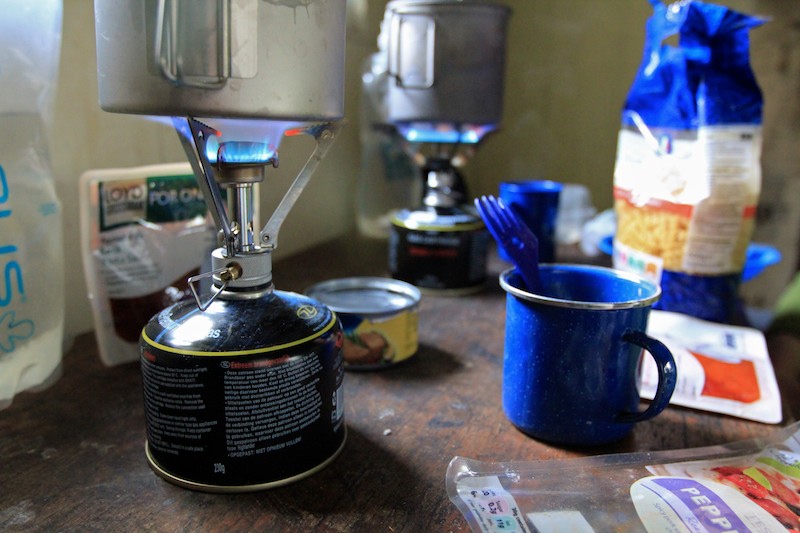
Cooking up a well deserved dinner in Shenavall bothy after a superb day:
Racing the evening light to get back to the car:

Day 4: The misty ramparts of Slioch, hill of Spear, 981m, rising above Loch Maree.

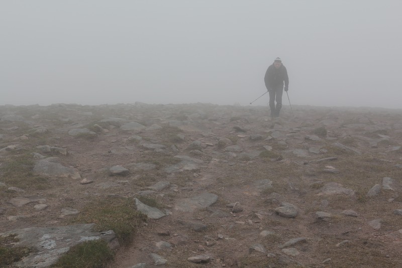
Near the summit and in the cloud:
Victory – on top of Slioch, not much of a view:
Alistair walking along the ridge line of Slioch, showing the scale of these vast Scottish mountains:

The weather improved dramatically over the course of our day and we enjoyed a sunny afternoon as we descended back to the car:
Trees reflected:

Day 5: Slioch, seen across Loch Maree. A brief parting in the clouds teased us. Blue sky peeped out between the torn, ragged edges of the white duvet. Slioch revealed much to us. Flanks stretching all the way from the loch shore to the fore-summit, but still the top itself remained elusive. Moments were passed in wonder, gazing at this behemoth, remembering to put the camera to one side to soak up the view whilst I still could.
Soon after the photo was taken, dark, ominous clouds rushed in and clobbered away the blue sky. The remainder of the day was spent in a monochrome world of varying shades of grey. A cold wind blew up. Rain slanted sideways, and increased in intensity as we wended our way up the corbett of Meall a’ Ghiuthais, 887m. Energy levels were depleted after the long days earlier in the trip. Each step required a conscious mental effort; it was a case of the destination being important, not the journey. Determined to “bag” one final hill, we slogged upwards and eventually won out. The summit may have been ours, but the enjoyment belonged mostly to the weather gods.
The final image from the trip was of this lone pine, standing tall above the mountainside, impervious to the weather. Directly across from Slioch, a sentry from yesteryear, knowing not the whys, the hows, the reasons, the excuses of us walkers, passing by in a fleeting moment. Through hail, rain or shine, the lone pine just stands, watching the four seasons play themselves out on Slioch’s stage. Just standing. Existing.