“We need the tonic of wildness…” – Henry David Thoreau

Biking along the Chesapeake & Ohio Canal National Historical Park
A great day out on the bike – 92 miles and approx 3,600ft of climbing. I followed the C & O Canal National Historic Park out of Georgetown (Washington, DC) with a couple of energy bars and hard boiled eggs in my cycling jersey. I had no fixed destination, only a vague notion of riding for about 40 miles along the canal towpath before heading home via whatever gravel roads I could find.
By the Potomac river
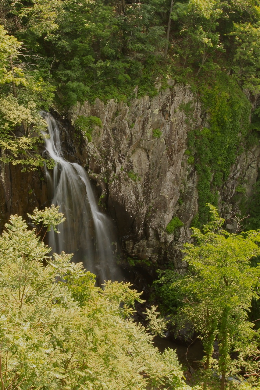
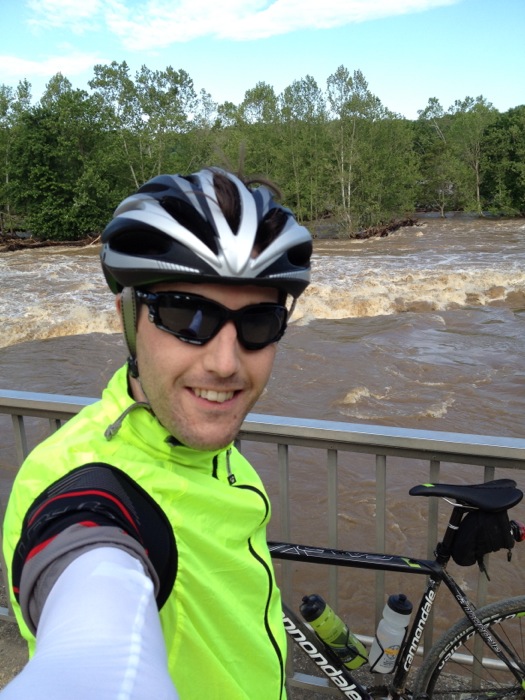
The region suffered a huge rainstorm at the end of last week – a solid 24 hours of torrential rain – so the Potomac was running higher than I’ve ever seen it. Both banks were flooded where there is normally woodland. Great trunks and all manner of other debris were barreling down the river. The river was a chocolate brown colour, displaying an angry, menacing power.

The flooded Potomac River
Contrast with the view from the same spot last year, when the river was at its “normal” level – amazing!
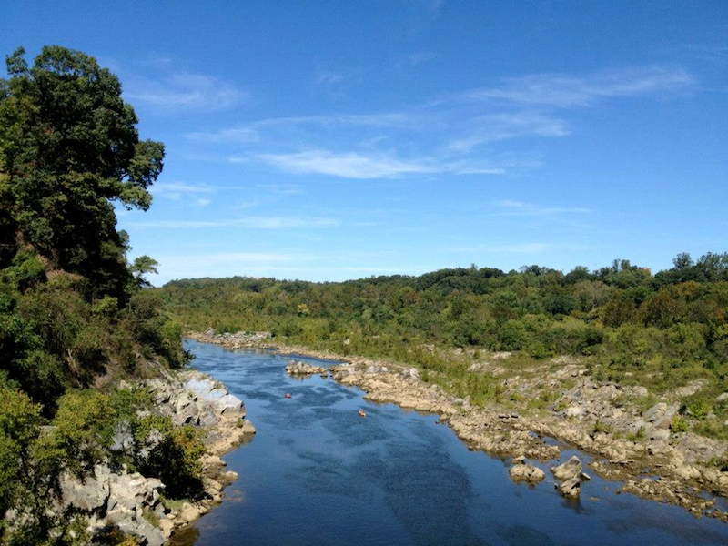
Potomac Chain Bridge view
The riding was fantastic. The trail was flooded in a couple of places, including one section almost up to my bottom bracket that was around 200 metres long, but the water was only stationary so not in the slightest dangerous. I was forewarned of the flooding by a group of four young cycle tourers at one of the campsites. They were headed in the opposite direction and wondering if the trail was passable into Georgetown. In places the river was actually flowing through the woodland on my left side. Had it been like that across the trail then I would have thought twice about continuing.

Downed tree across the trail – too big to bunnyhop!
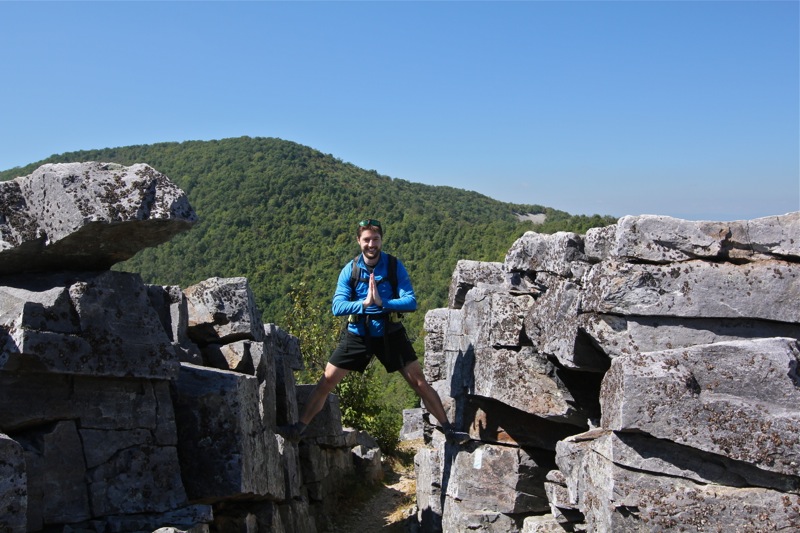
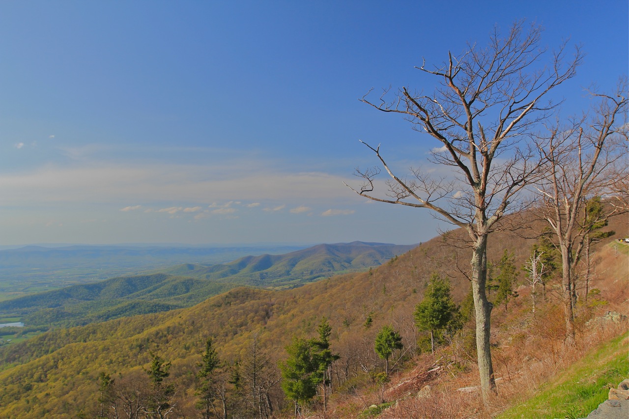
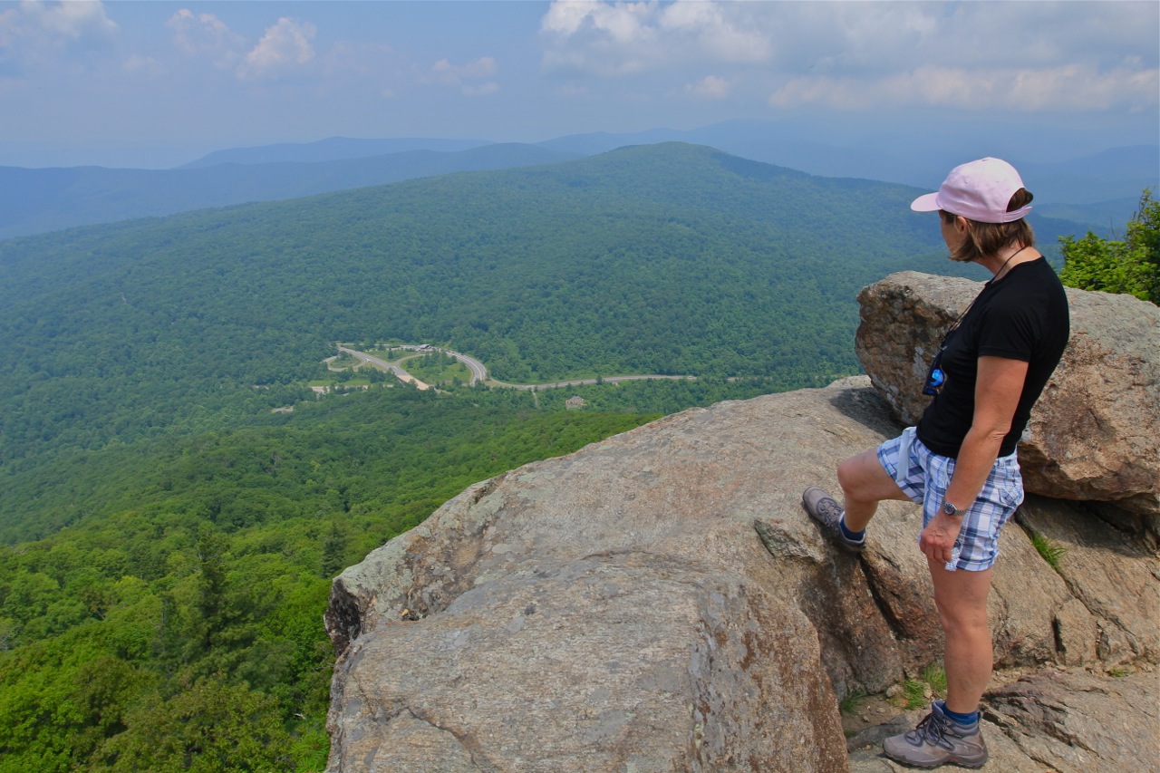
Feeling good at mile 42 when I turned off the canal trail, I decided to make an ascent of Sugarloaf Mountain, on account of being so close. This was the third time I’ve ridden up this mountain and back to DC in a day, and it’s still a draw, a prominent objective that’s far enough to make for a challenging ride. It’s a fun climb, about 400 – 500ft climbing over a mile and a half.

Sugarloaf mountain
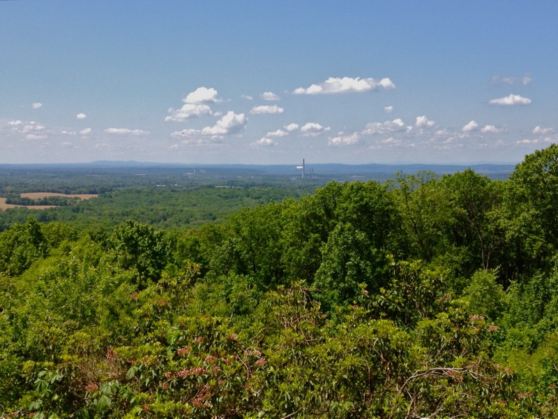
View from Sugarloaf Mountain
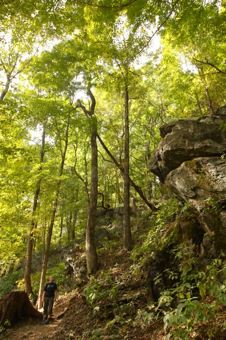
From Sugarloaf I turned for home and was able to ride mostly gravel roads for another 15 miles or so. By then, tired legs were starting to make themselves known, but the scarcity of traffic and picturesque scenery meant I was enjoying myself too much to care. The past few months have been pretty hectic and at times stressful, so this day was a much needed reminder that adventure is always there, just outside the front door.
Two cereal bars and two boiled eggs do not fill the stomach of a cyclist with 75 miles in the legs, so in a moment of weakness I succumbed to the wafting smells of greasy food and this was the result:
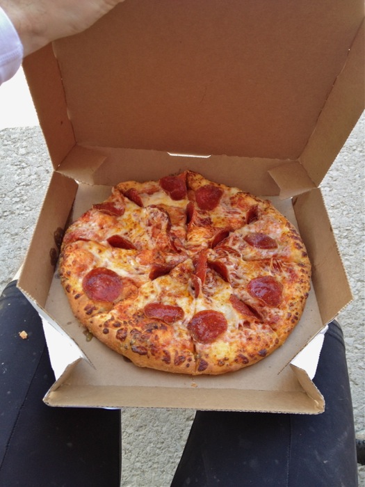
Mid-ride refuelling stop at Domino’s Pizza – it didn’t last long
The final 17 miles of the ride were on familiar stomping grounds so I used up whatever reserves of energy I had left and raced for home. All in all a superb day in the saddle, with all the right ingredients – time immersed in nature, a mountain climb, quiet country roads, fine scenery and a decent physical challenge.
Here is the Strava screen grab of my route – sadly it doesn’t appear to be possible to embed the actual Strava widget in a wordpress.com website, so this will have to suffice unless I can find a workaround.

Strava route details