“Fiordland, a vast tract of mountainous terrain that occupies the south-west corner of South Island, New Zealand, is one of the most astounding pieces of land anywhere on God’s earth, and one’s first impulse, standing on a cliff top surveying it all, is simply to burst into spontaneous applause.” – Douglas Adams, Last Chance to See

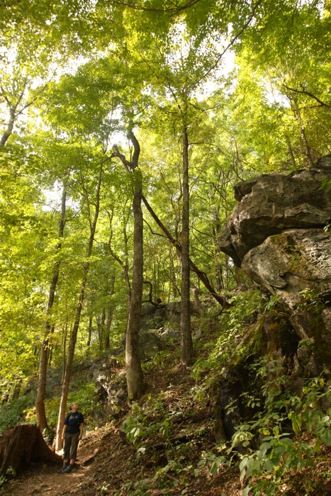
Murchison Mountains, Lake Te Anau, Kepler Track Day 1
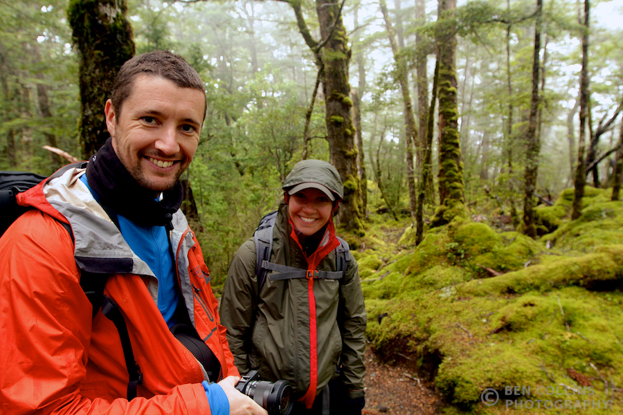
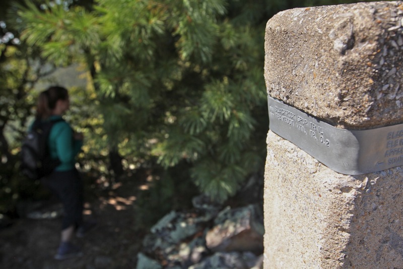
28 November 2013: We were a party of four (yours truly, my girlfriend Lexi, my brother Pete and his girlfriend Lisa) lacing up our boots and making last-minute adjustments to our backpacks at the start of The Kepler Track, a 60km tramp in Fiordland National Park, in the South Island of New Zealand. Ahead was four days of backpacking through alpine mountains and beech forests, from summits to sandy shores, where we would be bathed in sunshine, battered by wind, and dampened by rain.

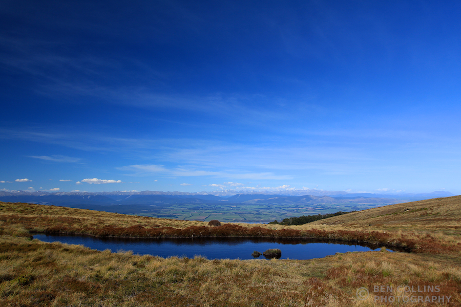
Alpine tarn, Kepler Track Day 1
Our walk began from the door of our hotel in Te Anau. What better way to start than straight from the breakfast buffet station, no driving, no more procrastinating. We picked up our hut passes at the Doc centre en route, a little way outside Te Anau. The weather forecast looked promising, which was all I was hoping for at this stage. Day Two of the walk was the “alpine” day, when we would spend all day above the treeline, crossing some of the ridges of the Jackson Peaks. As long as the weather permitted us access to the higher mountains, and our walk could proceed as planned, I would be happy. At this stage, all looked good.
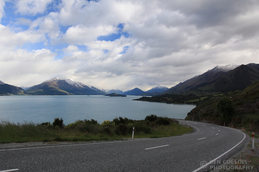
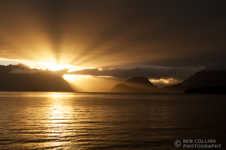
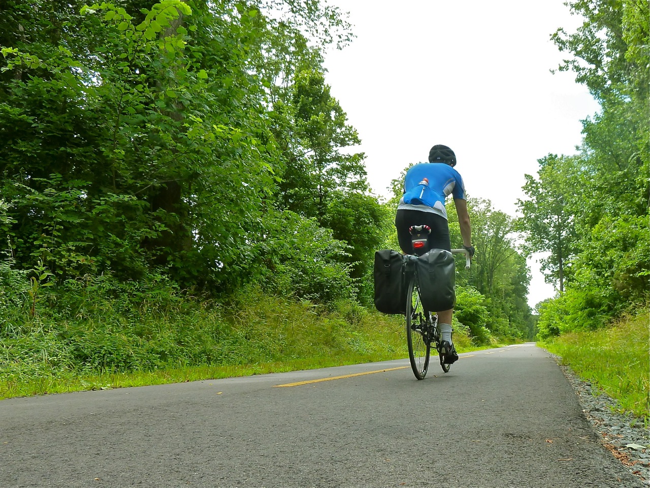
The route followed the shore of Lake Te Anau to Brod Bay, with the beautiful Murchison mountains as a backdrop (see the first photo), before beginning a long climb through beech forest, eventually emerging above the treeline and finishing at the Luxmore hut. The sun shone, we sweated our way uphill in shorts and t-shirts, reaching the hut around 5pm. The views that opened up as we emerged from the forest were spectacular, at once justifying the effort needed to reach that point.

Sunset from the Luxmore Hut looking out over Lake Te Anau
The Luxmore hut was pleasant and comfortable (as were all the huts on this walk) when judged by the standards of some prior trips (when we’ve been known to sleep on the snow slopes of Mt Blanc in a blizzard sans tent for example). It’s been a while since my last hut trip (I think the Swiss Alps in 2011?) but, as often at mountain huts, it had a welcoming, convivial atmosphere (although, beware of the “socks-ygen”, as the hut warden Peter informed us, from 30 pairs of fruity hiking socks, that would also be present in the atmosphere if we didn’t open a few windows and ventilate the dormitory that night). I was dog tired at day’s end, but insanely happy to be in the outdoors again.
We woke to a slightly different forecast which, rather unsurprisingly for this region (one of the wettest on earth), predicted rain and stronger winds. No bother we thought! We had all the right gear and it certainly wasn’t too dangerous. We would be just fine, with a dollop or two of old-fashioned stoicism.

Panorama from the Kepler Track over Lake Te Anau
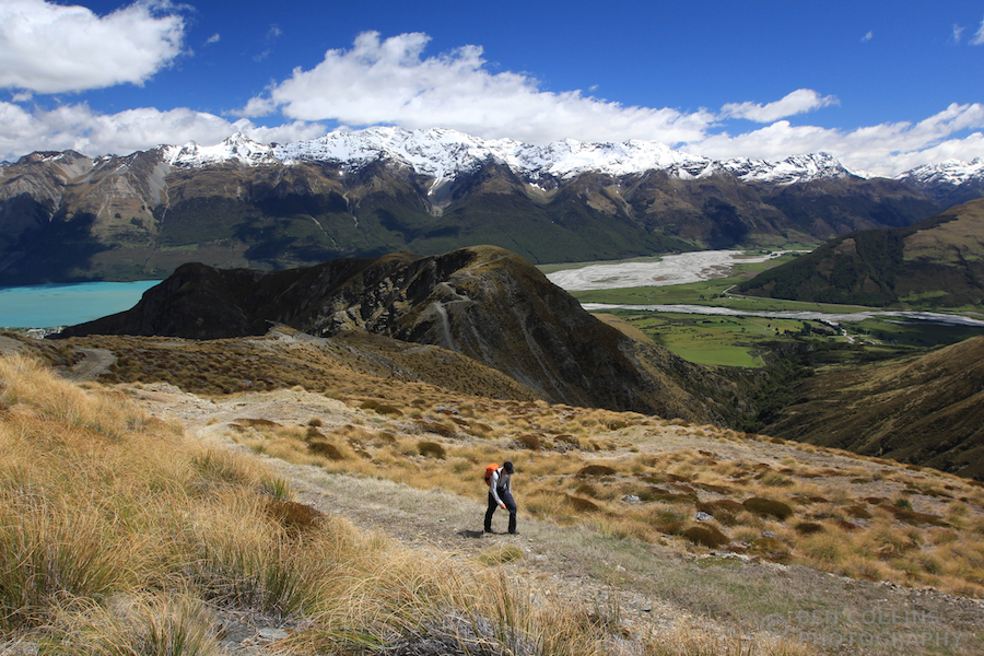
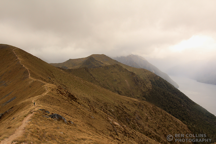
“A bit breezy on top, maybe a bit damp too” were the words of the hut warden as we left. Typical understated Kiwi humour. It was indeed a bit breezy (reaching 100km/h we were informed at the next hut!), which made for a rough-and-tumble sort of day and a well-earned dinner. The thick cloud scudded across the sky, revealing, hiding and teasing us with dramatic views of the mountains and lakes all around us. My brother and I made the short detour to climb Mt Luxmore, which was a relatively quick scramble to the summit and tremendous views over Lake Te Anau. We caught up with the girls at the Forest Burn emergency shelter, where we stopped for lunch and enjoyed a brief respite from the rain.

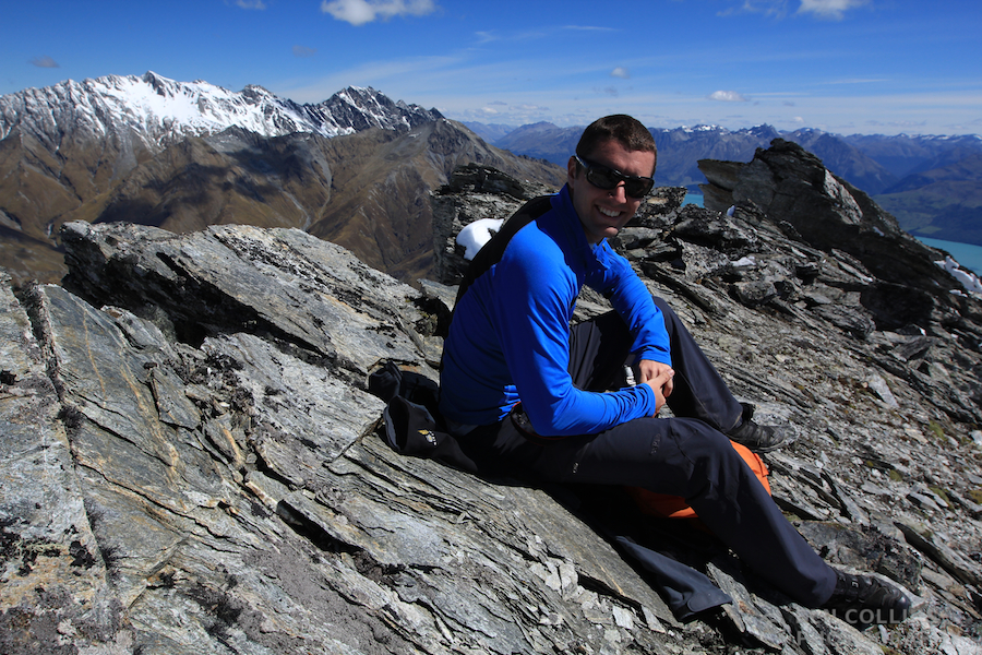
Summit of Mount Luxmore, Day 2

Kepler Track Day 2, can anyone spot Lexi in the photo?

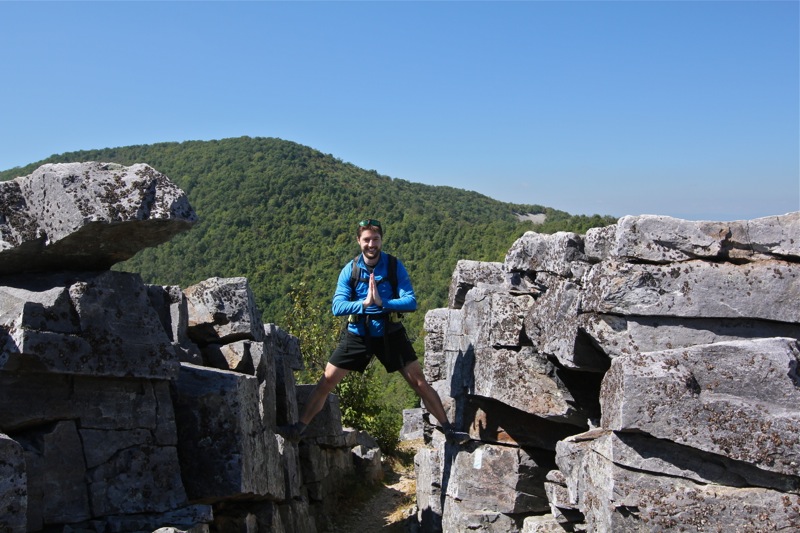
Pete above the South Arm of Lake Te Anau
The scenery more than made up for the weather. We felt ALIVE! The elements forced us into the present, the here and now, a coarser, more primitive existence for a day, no bad thing in our modern, tech-obsessed lives. I, for one, would not have traded places with anyone that day.

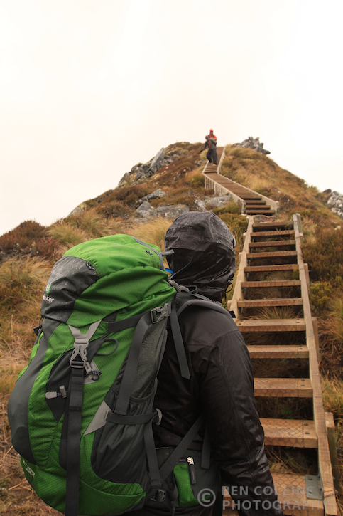
On the march – “a bit breezy on top”

Fantastic views from the ridge line

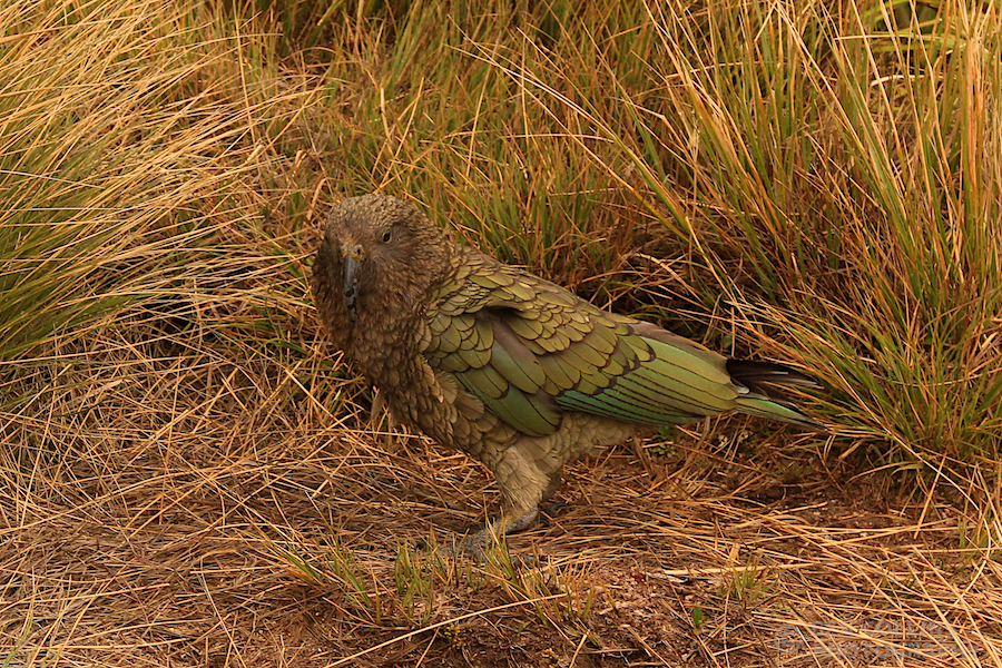
A Kea (the only alpine parrot species) outside the Hanging Valley Shelter – they are inquisitive, mischievous creatures

Descending off the ridge
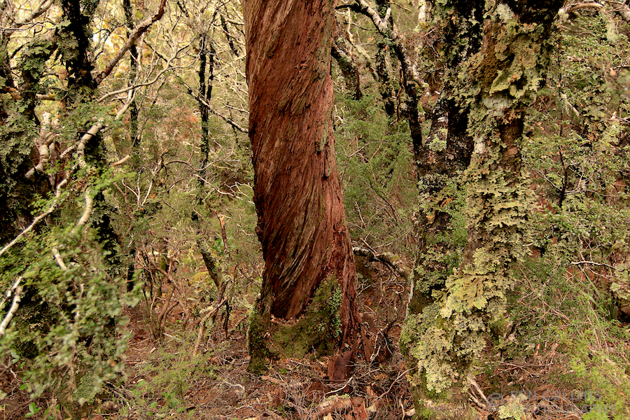
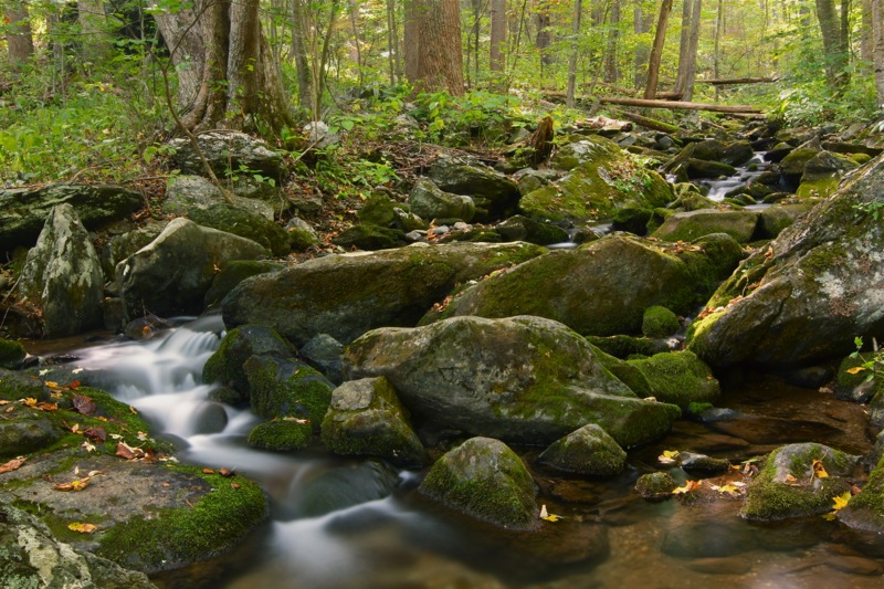
A series of stepped sections along the final, narrow ridge below the second shelter (the Hanging Valley shelter) felt slightly precarious in the wind, but we were at last safely below the treeline. What a day it had been. We still had several kilometres to go, down through the verdant Fiordland rainforest, where seemingly everything, except the odd twisted tree, was coated with moss.

Twisted tree in Fiordland forest

Incredibly verdant Fiordland rainforest – moss was everywhere

Iris Burns Falls
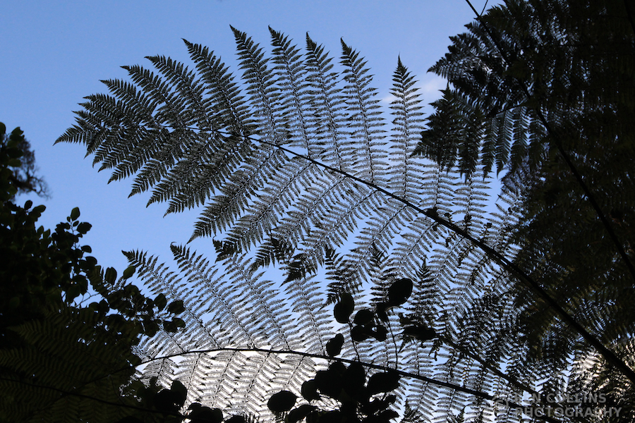
The second half of the walk, from Iris Burns hut back to Te Anau, was of a different nature to what we had encountered so far. With the mountains behind us, we spent these final two days among the trees, where the landscape was measured in metres, not kilometres. The joy was in the detail, the vividness of the green mosses, the precise geometry of the fern fronds, the stark black of the tree trunks against the white misty backdrop.

Misty rainforest, Kepler Track Day 3

Hiking through the rainforest

Enjoying the silence and beauty of the forest
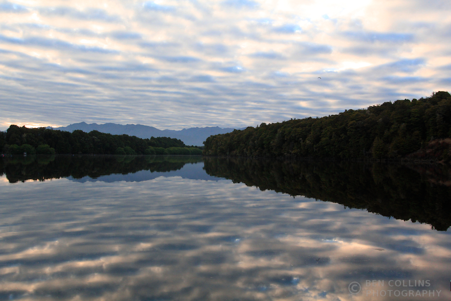
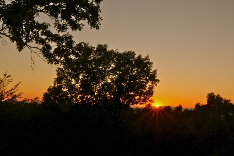
Our third and final night on the track was passed at Moturau Hut, on the shores of Lake Manapouri. After a night in the mountains, a night in the forest next to a waterfall, it was fitting to finish with a night on the lakeshore with a sandy beach. After dinner we were treated to a sunset to remember. It began with some incredibly warm light breaking through under the cloud base, which had everyone scampering out of the hut and down to the beach with cameras:

Lake Manapouri Sunset 1
The light kept improving as the sun’s rays filtered between the mountain tops, reflecting in the lake:

Lake Manapouri Sunset 2
And the final act was the best of all, as the colours turned pink and illuminated a lone cloud over the mountains:

Lake Manapouri Sunset 3
Our fourth and final day of tramping took us from the Moturau Hut all the way back to Te Anau. It was a straightforward day, with little up or down, through forests and along rivers. A mellow day of walking, giving us plenty of time to reflect and scheme up future adventures. The sun was shining and the team were in high spirits as we departed the hut:

The team at Moturau hut, start of day 4

Lexi couldn’t resist a quick headstand on the beach before we set off

Wire bridge, day 4 of the Kepler Track

Amongst the ferns
After four days, 60km of walking, three huts, two keas, two rare whios (blue ducks), more sunshine than we expected, amazing views and more ferns than you can shake a stick at, we were all too soon back in Te Anau. The walk had passed far too quickly, and I felt sad to be back in civilisation so soon! But we had more adventures planned for this trip (story of a future blog post) and this trek had been a wonderful four days with wonderful people, and for that I will always be grateful.

Kepler Finish – back at Te Anau, DOC office, and the end of the Kepler Track