Book Review: LOCAL by Alistair Humphreys

I thoroughly enjoyed this book.

The author begins by asking the question: is one map enough for a lifetime of exploration? Or to put it plainly, can his local area satisfy his wanderlust?

The author is renowned adventurer Alistair Humphreys1 (National Geographic’s Adventurer of the Year 2012 nonetheless!), whose wanderings have taken him around the world and across oceans.

But this is not a book about how the author finds dazzling adventures close to home. Instead, the author spends a year understanding and learning to love his local area, his “bog-standard corner of England”.

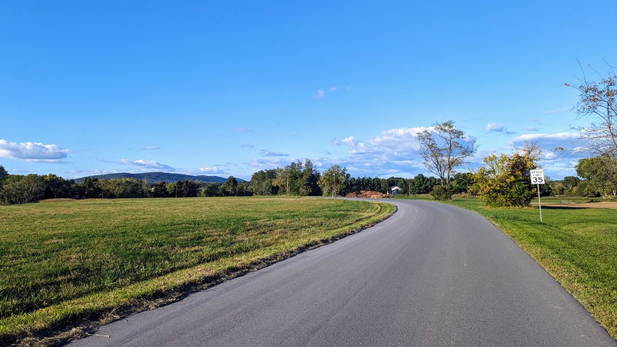
Each week he chooses a different area — or “grid square” — to visit. Each chapter of the book represents one of these weekly outings to a new section of The Map.

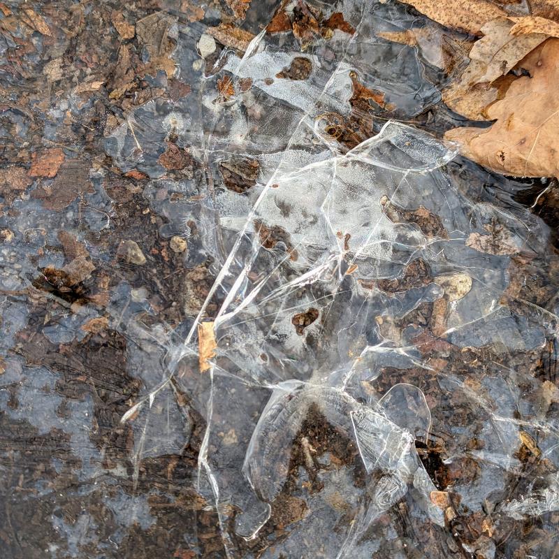
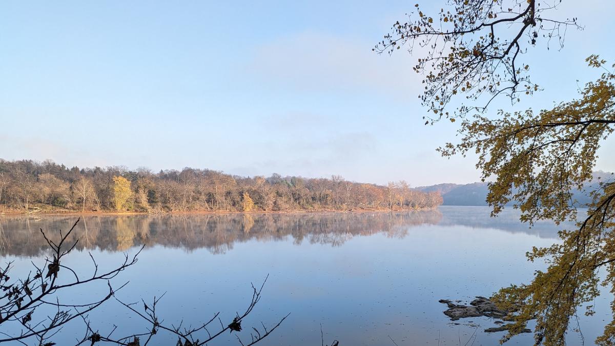
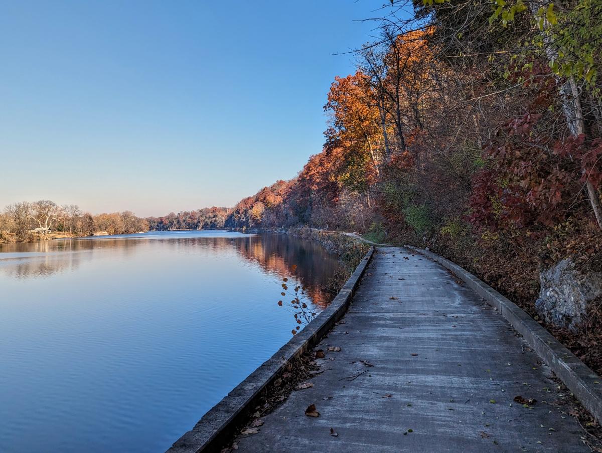
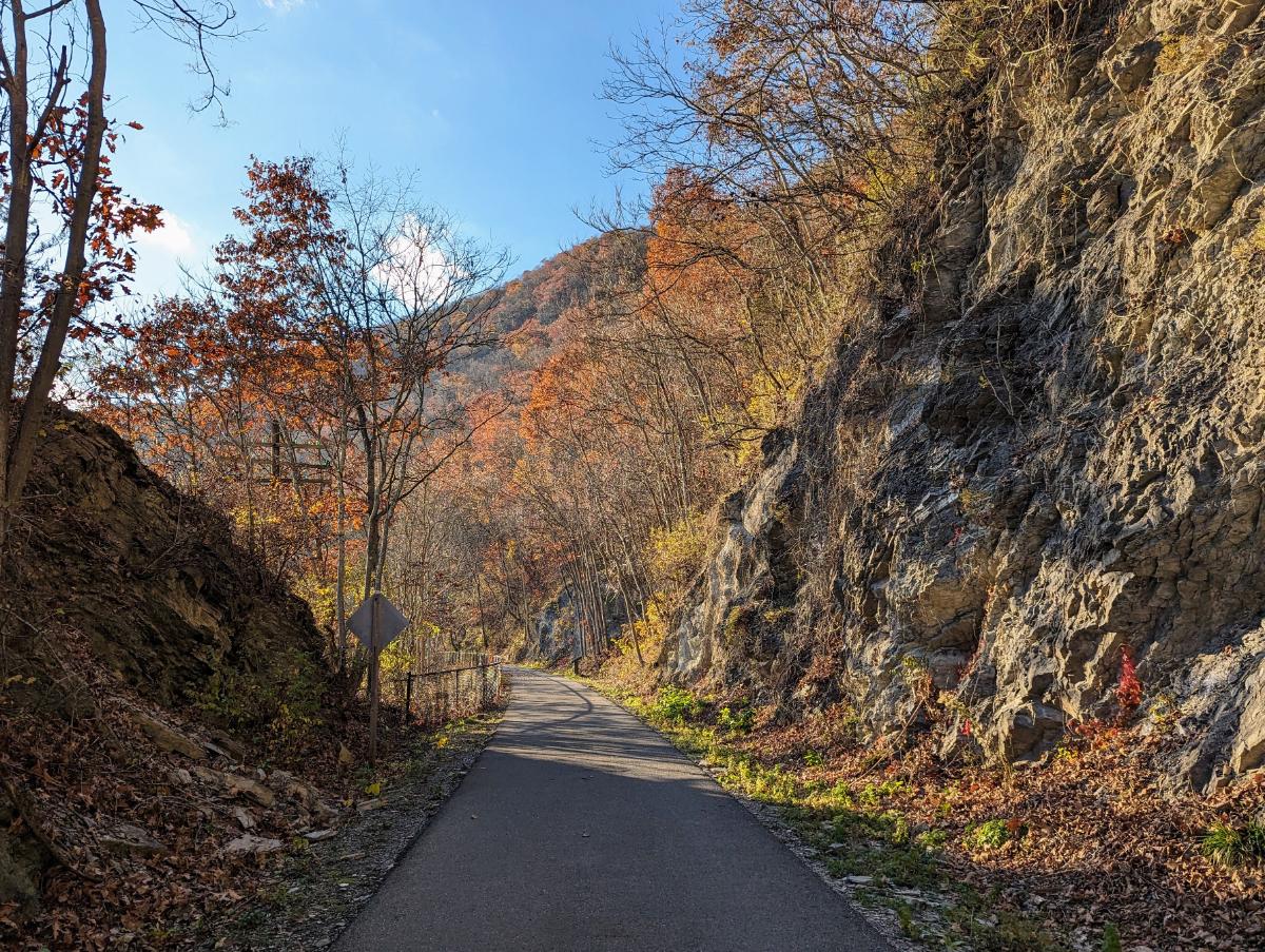
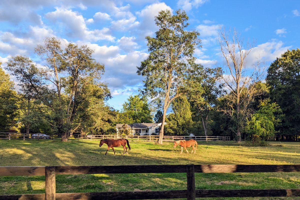
What emerges from the pages is the author’s childlike curiosity and excitement about his own backyard. Each chapter is brimming with details of hidden natural beauty, the minutiae of life and the people who live there. He sees the history of his backyard unfold with every step.

But much more important than those details, more important than those delightful surprises he finds behind each rock, are the bigger themes that emerge from this year-long project.

Questions of land access, land use, re-wilding, climate change, and ultimately, how much we care about the places we call home.

The books encourages you to ask yourself these big questions. It encourages you to cast fresh eyes on your own backyard. Why does it look the way it does? What forces are in play shaping the area? What will it look like for my children?

Reading Local in my local woods with a flask of tea. Life is good.

So much of the book resonated with me that it felt like it was written personally for me.

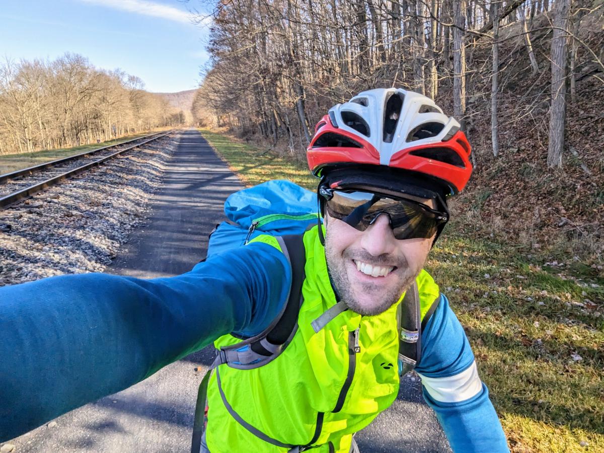
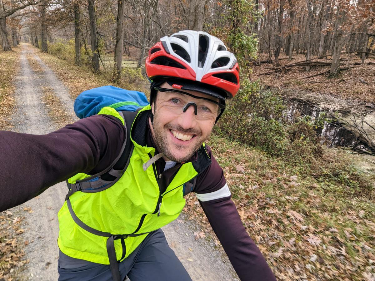
Like the author, I’m a middle-aged dad with a packed schedule. Throw in a pair of dodgy old knees and a dwindling appetite for risk, too. I notice my own metamorphosis has parallels to the authors’.

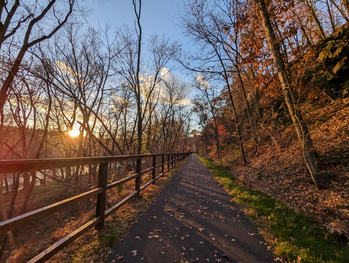
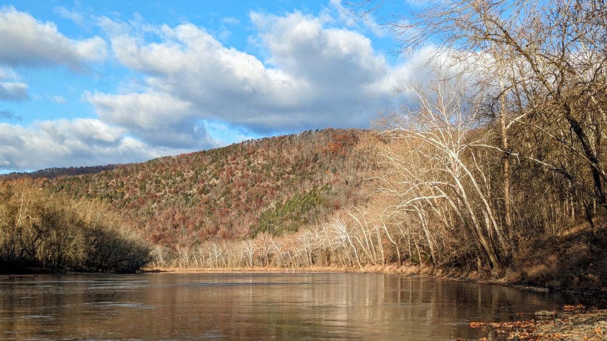
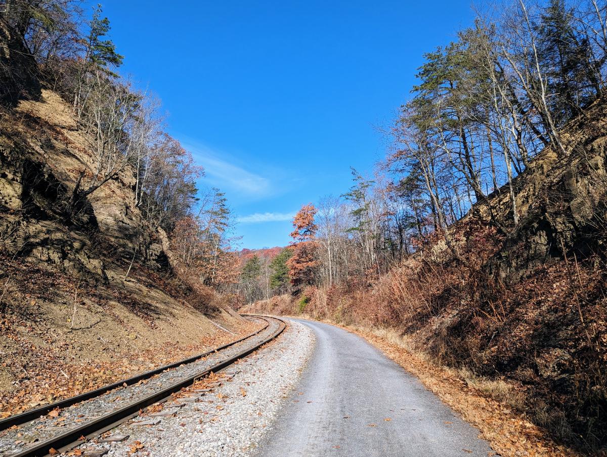
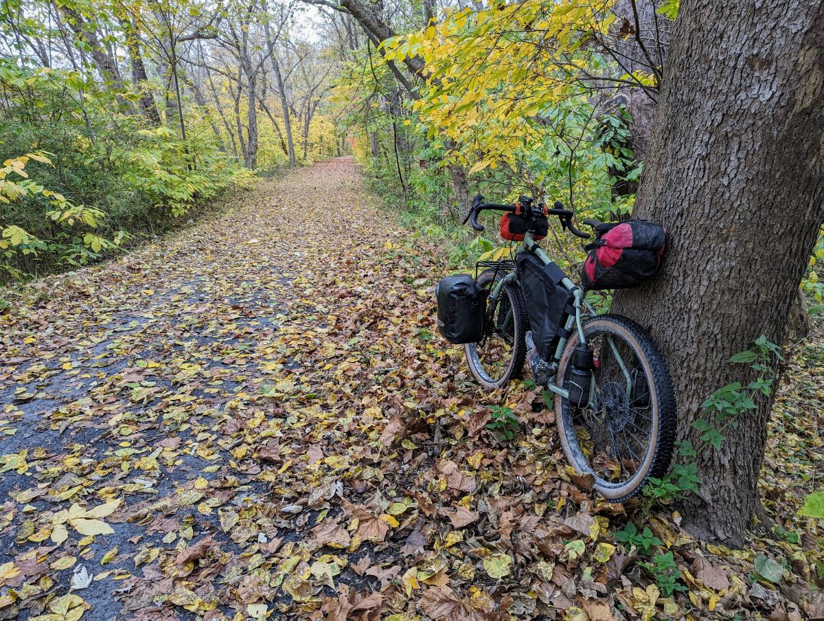
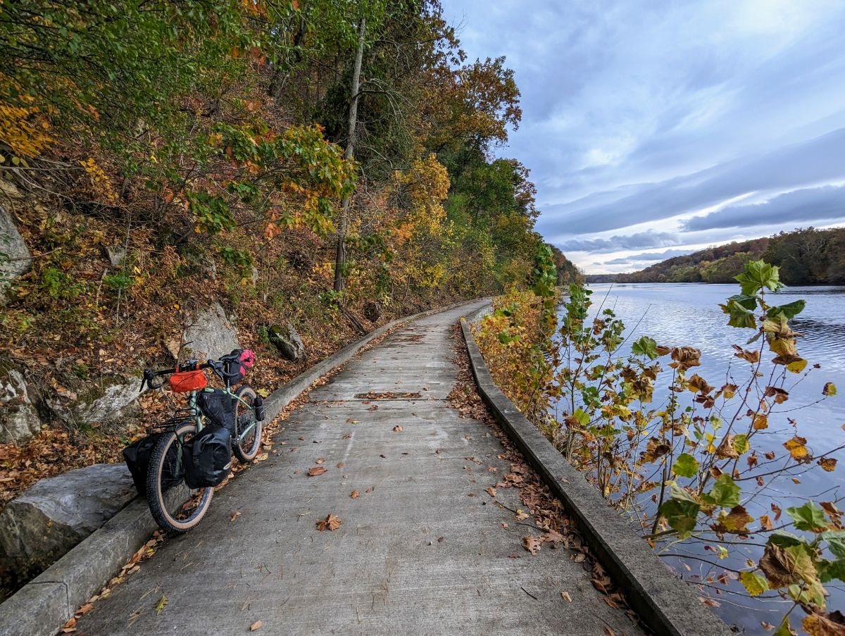
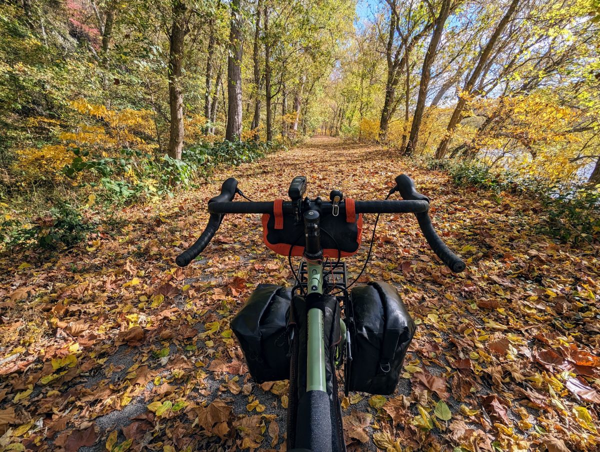
I tend to walk and bike instead of run and climb these days (although I have not given up entirely on those pursuits!). I’m as equally interested to learn about a new bird or wildflower as I am to try for a PR on the trails.

I was already headed in this direction, but this book gave me the encouragement to continue that path. It helped me embrace a more holistic experience of the outdoors.

And for that I am very glad.

Here are two practical ways this book has influenced my outdoor habits:

1. Learning About My Local Environment

After years of living here in blissful ignorance, I’ve started taking notice of the flora and fauna that also live here.

Each time I go out for a walk or bike ride, I aim to identify one new thing.

Luckily for us oblivious souls, there are fantastic apps (AI-assisted! All bow to our AI overlords!) to help with that:

From left to right:

  • I use the PictureThis app to identify plants.
  • I use the Merlin Bird app from Cornell University to identify birds by their songs. It’s wonderful! (This was a tip from the book Local!)
  • I use an app called Rock Identifier to identify rocks on the trail.

Recently, I’ve enjoyed the songs of American Robins, Red-winged Blackbirds, Northern Cardinals, Carolina Wrens, American Crows, Eastern Towhees, Northern Flickers, Red-bellied Woodpeckers, Carolina Chickadees, Tufted Titmouses, Eastern Bluebirds, and House Sparrows.

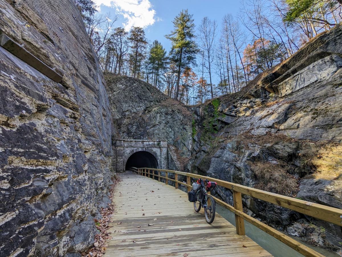
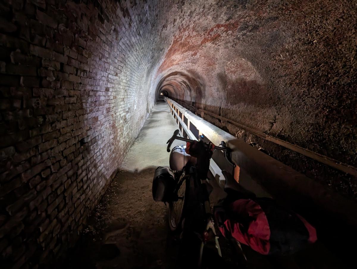
Another example: taking a new side trail in my neighborhood led me to this stunning thicket of bamboo that I had no idea existed in town.

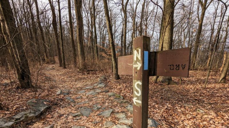
2. Becoming Aware of Land Access Issues (an Obituary for Elk Ridge Trail)

At the top of my local mountain — the Stone Fort loop of Maryland Heights — is an old marker post for the Elk Ridge Trail. It’s weathered but not that old. Notably though, there is no paint on the letters, so it’s hard to read until you’re up close.

Look closely and you can see an old trail name on the post as well as the old blue blaze on the tree.

The trail is still marked on hiking maps, like this one from Alltrails that I’ve annotated:

The Wikipedia page for Elk Ridge states: “An unmaintained trail leads along the ridge of Park Service land onto private property to Buggy Rocks and views east of Pleasant Valley.”

It sounds lovely but there’s a line of very clear “POSTED: NO TRESPASS” signs on the park boundary.

It’s abundantly clear the owner does not want anyone on their land. And this being America, deliberate trespassing is a very silly idea.

I once met a runner who had traveled this path many years ago, but couldn’t recall much other than it being boggy in places.

Who knows, maybe one day this trail will be open again, but I’m not holding onto much hope.

To balance this — because I don’t want to close on a negative thought — the Trail & Town group here in Harpers Ferry has done tremendous work creating a system of new trails through Woodpecker Woods and the Ridge Street connector trail. We have miles of fantastic new trails to enjoy!


So yes, I recommend this book if you’re at all interested in your local area. It’ll encourage you to open your eyes more as you explore your own backyard.

And as you learn more, you start to care more. And that’s the key message.

⭐⭐⭐⭐⭐

Local: A Search for Nearby Nature and Wildness is available wherever you buy books or on Amazon here (US site).


  1. I once loaned the author my crampons and ice axe for a winter UK 3-peaks trip for a Sunday Times feature. About the closest my adventuring got to being featured in the broadsheets LOL!

Sunrise and Snowstorms on the A.T.

1 January 2024

Hike / 16.8 miles / 1,982 ft ascent / 6 hours 51 minutes

Sunrise over the Potomac River from Weverton Cliffs

I left home at 5:17am, a full two and a bit hours before sunrise. It’s a little over 6 miles from home to the top of Weverton Cliffs and I wanted to get there to see the sunrise. Hence, the early start.

I walked under the beam of my headtorch for the first two hours. Life was a small cone of light in front of me.

On the Appalachian Trail

The Appalachian Trail sneaks under 340, along a narrow concrete path with rough slopes dropping away to Israel Creek, a long way down. Of course, all of that was hidden in the dark this morning. But I love these liminal places, spaces at the intersection of urbanity and wild land on the environmental Venn diagram.

Traversing under US 340
Junction where the side trail branches off the AT to Weverton Cliffs lookout

I reached the lookout just after 7am, half hour before sunrise. There were already warm colors peeking over the horizon in the East. I took many photos between slurps of hot tea, enjoying the light show unfold. It was a beautiful morning, although not a knockout sunrise this time. I’ll have to come back for that.

Sunrise over the Potomac river
At Weverton Cliffs lookout. Loudoun Heights is the distant ridge line on the left, Maryland Heights is to the right.
It was a gorgeous morning, but not a knockout sunrise.

By 8.15am I was cold and ready to get moving again. The morning was well underway.

My next stop was the Ed Garvey shelter, a couple of miles further north along the AT. I’ve walked there before and it’s a lovely, mellow section of the AT along the top of a broad ridge.

Easy miles along the AT ridge to the Ed Garvey shelter.
The fantastic Ed Garvey trail shelter, where some other folks were hanging out for the day.
Living it up: a book (the excellent Local, by Alistair Humphreys) and a brew at the turnaround point.
Turnaround point, the sign at the Ed Garvey shelter.

I left the shelter with nary a cloud in the sky. I was skeptical of the forecast of snow arriving within the hour. Gradually cloud built up in the distance as I hiked back towards the lookout.

By the time I reached Weverton Cliffs again, the weather front — a thick band of cloud bearing snow — had arrived in full force. The view disappeared in front of my eyes.

The last of the views!
We Brits like cloudy mountain summits, so I felt right at home.
The fantastic rocks and pine trees atop Weverton Cliffs
The snowstorm blew through for about an hour, leaving a light dusting.
Still heading south.
Heading back under the US 340 dual carriageway on the AT
The final few miles along a snowy C&O canal back into Harpers Ferry.

All-in-all, an excellent hike.

Fall Tour to Ohiopyle (November 2023)

11/13/2023 – 11/18/2023

Some photos and stories from a fall bike tour along the C&O canal and GAP trail:

Day 1: Harpers Ferry to Devil’s Alley campsite

86.6 miles / 7 hrs 53 mins

Liftoff! Running the lowrider front panniers and frame bag again. Taking the extra dry bag on top of the front rack and the rucsac to carry 7 full days of food and winter clothes.
Stunning views at the point, Harpers Ferry
Beautiful morning reflection on the Potomac, taken near Dargan
I love riding in the fall.
The raised towpath at Big Slackwater
Williamsport basin
C&O Bicycle shop in Hancock, Maryland, where I stopped for a snack break
Riding the scenic Western Maryland Rail Trail, parallel to the C&O
Gorgeous evening on the WMRT
Closing in on Devil’s Alley campsite as the light faded
Cooking dinner in the dark!

Day 2: Devil’s Alley campsite to Evitt’s Creek campsite

36.0 miles / 3 hrs 33 mins

5* accommodation on the canal
Breakfast in bed
Beautiful morning light on the Potomac River from Devil’s Alley campsite

The highlight of day 2 was passing through Paw Paw tunnel again. This was my 3rd time through and it’s always impressive!

You approach the tunnel from the south through a rocky ravine, riding on a boardwalk above the canal. It’s a fantastic section of the trail.

Then you approach the tunnel proper. It’s a crazy feat of engineering given when it was built (work began in 1836 and the tunnel opened in 1850). It was one of the masterpieces of civil engineering in the mid-19th century:

Approaching the tunnel entrance
Yes, it’s long. It’s very dark without lights. And almost certainly haunted.
Tuna pita bread for lunch. Delicious!

The trail beyond the Paw Paw tunnel is very scenic and quiet.

The path becomes increasingly scenic (and quieter) as you get deeper into western Maryland.
Rocking the front low-rider panniers again. It worked really well on the test overnighter to Cumberland Valley last month.
Reflections in the canal at Evitt’s Creek campsite
Evitt’s Creek camp alongside the Potomac River

Day 3: Evitt’s Creek campsite to Ohiopyle State Park

78.9 miles / 7 hrs 14 mins

Cold morning, around 27F
Strawberry Granola and coffee for breakfast
The bike was covered with a layer of frost as I set off
Mile 184 on the C&O canal, with Cumberland in the distance
Cumberland, Maryland, where the C&O and GAP trails connect

I stopped for a coffee in Cumberland and swapped the bumpy C&O canal for the smooth crushed limestone surface of the GAP trail.

The first 22 miles of the GAP trail are all uphill, at a gentle 1 – 2% gradient. Just enough for you to notice but it’s not too hard. It’s a long climb though, alongside the rail tracks for 12 miles or so. It’s a lovely ride.

On to the GAP trail
Enjoying the change of scenery and smooth surface of the GAP trail.

I passed the Mason-Dixon line and officially left the south of the US and entered the north.

At the Mason-Dixon line

Shortly after, I reached the best lookout of the trip, at Big Savage mountain, just before Big Savage tunnel.

The lookout at Big Savage vista
Under the mountain I go. Entering Big Savage tunnel
The very long, but not so dark, Big Savage tunnel.

Just beyond Big Savage tunnel, I crossed the Continental Divide, the high point of the route. Any hopes of a freewheeling, coasting descent down the other side were quickly dashed however. The gradient is so gentle (around 0.5%) that you hardly notice a change. Unfortunately, you still have to pedal. It’s perhaps 5% easier though.

The Eastern Continental Divide
Crossing Salisbury viaduct, which offered extensive views over the plains
It was warm enough for shorts, which was nice contrast to the 27F morning!
Dollar General in Confluence where I stopped to buy water
I left Confluence in the last of the daylight and rode into Ohiopyle State Park under lights
Riding into the night through Ohiopyle State Park. 90% fun, 10% intimidating.

Day 4: Ohiopyle State Park to Big Savage mountain

53.5 miles / 5 hrs 20 mins

I turned around at High Bridge biker campsite, making Ohiopyle the furthest point from home of this tour.

The campsite was wonderful. Nestled in the woods, just off the GAP trail. I had it to myself and I enjoyed the sun rising over the ridge line to warm me up while I had breakfast.

High Bridge biker campsite, morning of day 4
Another cold start on the morning of day 4
The Casselman River from Pinkerton High Bridge
Wonderful scenery along the GAP trail
Heading back through Big Savage tunnel on this return journey
Beautiful evening view from Big Savage lookout
Dinner and a book before turning in for the night.

As the sun set, the forest behind my tent came alive. The rustling began in earnest and the darkness magnified every sound until I convinced myself that bears were all around. In all likelihood, the noises were mostly squirrels and perhaps a few deer.

At one point, I let out a few wolf howles “arooo, arooo, aroooooooo” to let animals know I was there. I nearly jumped out of my skin when something howled back from the woods. To this day, I’ve no idea what it was but I didn’t dare make that noise again. LOL.

Day 5: Big Savage mountain to Indigo Neck campsite

68.1 miles / 5 hrs 28 mins

The sunrise at Big Savage lived up to expectations. It was magnificent. I got up early, just as the first slivers of purple and orange appeared on the horizon. Distant ridgelines and layers of cloud combined to make a spectacular palette. A worthy backdrop to breakfast that morning.

Dawn on day 5
It was a beautiful morning from Big Savage lookout!
Best coffee spot of the trip! Big Savage mountain overlook at dawn on day 5
Sun rising at Big Savage overlook

After striking camp, it was 22 miles downhill into Cumberland. It wasn’t steep enough to freewheel, but it was easy pedaling and the fastest average speed of the trip. Cor blimey, it was cold though!

After another coffee stop in Cumberland, it was back onto the C&O canal.

Lock 70 at Oldtown
Super riding through one of the more remote sections of the canal, between Oldtown and Paw Paw.
Passing back through the Paw Paw tunnel.
Nearly there!

Day 6: Indigo Neck campsite to home

84.8 miles / 7 hrs 20 mins

The tent at Indigo Neck hiker biker campsite on the C&O
Cooking a final breakfast of the trip
Passing the ruins of Round Top Cement Mill
It was past the peak foliage but the fall colors were still stunning.
I haven’t had a McDonalds for years, but it’s always a tradition to have a Big Mac on long expeditions so I kept this alive with a stop in Williamsport on my way through.
The section of trail at Big Slackwater never disappoints.
Smiling because I’m so close to home now!
Caught out by the short days again, I rode the last hour in the dark.

Route

C&O Cumberland Valley Fall Overnighter

30 – 31 October 2023

A video and photo essay from a quick overnight bike tour. I left around 3pm on Monday and was home less than 24 hours later. It’s phenomenal how much adventure and inspiration you can pack into such a short window.

Day 1: Harpers Ferry to Cumberland Valley Hiker Biker campsite

36.86 miles / 124 ft ascent / 3 hrs 15 minutes moving / 3 hrs 51 minutes elapsed

Day 1 was a race against time to make it to the campsite before dark. I made it with just enough time to pitch my tent, but cooked and ate in the dark. I ended up pitching my tent in the exact same spot that I used on the first night of last year’s Bike SUP tour.

Heading upstream towards Shepherdstown
Lockhouse at Canal Lock 37, near Dargan
The Surly Grappler in full cry
Glad I threw this light rain jacket in at the last second as I was drenched by a couple of showers during the afternoon.
The leaves were inches thick on the ground in places. Slightly surreal, like riding on snow. Beautiful conditions.
Moody sky from dam 4
The super cool raised towpath above the river at Big Slackwater, one of the highlights of the whole C&O canal towpath.
Looking downstream at Big Slackwater
Lockhouse at Canal Lock 43
Racing to beat the darkness and get to Cumberland Valley hiker biker campsite
Camp at Cumberland Valley Hiker Biker campsite
Pro tip for getting water from the pumps… use a funnel to speed up the process!
Making dinner in the dark. The chili dish was delicious.

Day 2: Cumberland Valley to Williamsport, then return to Harpers Ferry

47.85 miles / 431 ft ascent / 4 hrs 29 minutes moving / 6 hrs 8 minutes elapsed

It was fairly cold in the morning so I didn’t rush. I enjoyed breakfast from the warmth of my sleeping bag before breaking camp. I rode up to Williamsport to check it out before turning around and riding home.

Camp on the morning of day 2
Breakfast on day 2
Back in my sleeping bag to enjoy the coffee! ☕
Good morning from camp on day 2
Beautiful sunrise on the river. So calm and peaceful!
Stunning morning on the Potomac River
Passing under the I81 bridge on the way up to Williamsport
Conococheague Aqueduct at Williamsport, where I turned around for home.
The derelict R. Paul Smith Power Station at Williamsport
Lock 44 on the C&O canal
Mile 92.5, the mid-point of the C&O canal
Back at Big Slackwater but heading downstream, and the sun is shining! The section around Big Slackwater never disappoints.
Riding the elevated trail at Big Slackwater, one of the best sections of the C&O Canal
McMahon’s Mill
Cave biking? Exploring one of the many caves along this section of the route
One of the bigger caves
Crunching across a carpet of golden leaves
Time for a final brew before home, at Big Woods campsite
The serene Potomac River from near Dargan

Bike Setup

For this tour, I ran a set of front low rider panniers to hold sleeping gear and clothes. They’re a pair of 20-year old Vaude Sport panniers — veterans of my Norway tour — that are still going strong!

The Revelate Designs main triangle frame bag held camp stuff and tent poles. The seat pack held the tent and cook pot. I used the extra bottle bosses on the rear triangle to hold two bottles, although they were inaccessible whilst riding. But that’s not an issue on a tour like this where I’m making frequent stops to explore and take photos.

The bike felt super stable, if a little heavy.

C&O and W&OD trail loop to DC and back

30 September 2023

Bike / 141.7 miles / 3,265 ft ascent / 11 hrs 05 min moving / 12 hrs 54 min elapsed

Feeling vaguely fit after the recent Gran Fondo ride, I wanted to tick off another big ride before the end of the summer.

I’ve ridden a similar loop to this one twice before, although starting from DC both times and turning around at Point of Rocks rather than Harpers Ferry (first time was a 2-day tour, second time as a 130+ mile single day).

I left early, but not alpine-start early now that the heat was back to normal levels instead of head-meltingly hot. As I rode the C&O canal into DC, I thought there was no way I could complete the full distance. I just didn’t feel that good. But I reminded myself that it often feels like this on longer rides, you just gotta ride into it. Sure enough, as I got further into the ride I actually felt better. Miles 20 – 40 were some of the hardest of the whole ride.

At Brunswick 7.30am. Feeling ok, but honestly feeling like I had no idea how I was going to ride 140 miles that day. The only thing you can do is ride to the next checkpoint, then keep going and pick off the next one. Repeat until you get to the end of the ride. Simple, really.
Point of Rocks bridge in the morning light
My trusty Cannondale Caadx, still going strong after 10 years. A perfect bike for this kind of mixed surface riding.
Potomac River Gorge, from Mary’s Wall in Great Falls Park
Enjoying the serenity for a few seconds. Great Falls is always crowded on the weekend.
Lockhouse 6 along the C&O canal

I had a great cake and coffee stop in Georgetown, DC, at High Road Cycling cafe. I was envious of the cyclists who get to ride from there and hang out there. But 5 minutes later, when I was dealing with the DC traffic, I realized that it’s a perk I’m willing to sacrifice to live out in the countryside where the riding is 🤌

Coffee and cake in Georgetown at the excellent High Road Cycling cafe (no longer open)

The section through DC on the Mount Vernon trail was pure madness on this Saturday lunchtime. Bikes and people flying in every direction, strollers meandering aimlessly through bike lanes, people stepping out to take selfies, etc., etc. You gotta keep your wits about you!

It quietened down when I turned on to the Four Mile run trail and then the W&OD.

Rosslyn skyline from the DC side of the Potomac River. Lots of memories from living here.
The Washington Monument from the Mount Vernon trail. Very busy on a Saturday afternoon.

From the Mount Vernon trail, I jumped across to the much quieter Four Mile Run trail, which follows the Four Mile Run creek. It’s surprisingly wild amongst the dense suburbia on each side. I love these kinds of trails that snake through dense urban areas, which I think stems from when I lived in London and used to explore the canals of East London.

Four Mile Run trail

I really enjoyed riding the W&OD again, such a great trail. It gets better as you get further out, with fewer road intersections and fewer people. I rode slowly to ensure I had enough energy to make it home. Didn’t want to collapse into a heap on the side of the road somewhere and have to call for a pick up.

The half-way point and feeling somewhat relieved to have made it this far. 70 miles down, 70 to go!
The W&OD trail is a fantastic trail through the super busy NoVA area.
Miles and miles of this. Very scenic, if you can look past the powerlines. It felt interminable though, with the mile markers passing very slowly.
Plenty of history along the route, although I just kept cycling and snapped this pic as I went past. Someday I’ll learn to slow down and take it all in 😉
Smiths Switch Station, where I refilled with water
Between Leesburg and Purcellville, the trail is very pretty.
One of the hardest aspects of these longer rides is taking on enough calories. After a while, all the energy bars and electrolyte drinks become unpalatable. Time to go back to basics with a ham and cheese bagel!

At the end of the W&OD, I had 20 miles of backroads to reach the C&O again. I didn’t know what to expect, I was mostly just hoping that the traffic was light. And gladly, it was! The roads were fantastic for riding (if you like gravel) and, apart from a few mega bumpy washouts, were in good shape. Plus, the evening light was divine so that was a nice bonus.

From Purcellville I had ~25 miles to get home, mostly on super quiet back roads, most of which were gravel.
Beautiful evening for a ride and still feeling quite chipper after 110 miles
The scenery and evening light were sublime, making for really fun miles.
Cruising along the gravel roads and enjoying the views

I raced to Brunswick to see if I could catch the sunset from a vantage point by the river, but this train crossing thwarted me. I was stuck here for 5 minutes. When I reached the canal again, I raced to find a break in the trees to see the sunset but I was slightly too late. C’est la vie!

Brunswick train crossing
Final miles along the canal to race home. It was much darker than the photo suggests by this point.
The best sunset photo I could get… in person, it was beautiful.

After all that sprinting, I realized I was pretty tired, so I cruised the last couple of miles to home under lights.

Great day out on the bike!

I think I’ll make this an annual ride and try to do it a little quicker next time.

Route Map

Strava: https://www.strava.com/activities/9952283882