I had scheduled sinus surgery at the end of March, so I wanted to fit in a mini-expedition before then. As with most of my adventures these days, I love to start and finish from home, so the entire expedition is human-powered. Plus, there is so much to still explore from home that why would I need to go further afield?
I used the excellent MTB Project site to search for an interesting off-road route. This time, I found the Ten Mile Creek route that looked perfect. Somewhere new. Singletrack but not too hard (remember, I’m a middle-aged dad riding a loaded rigid bike. So, yeah, nothing too hard).
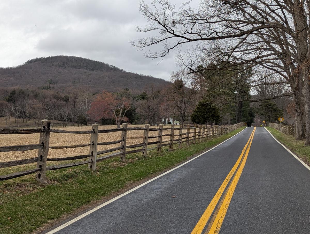
Conveniently, it was also close to Sugarloaf mountain, so naturally I included that ascent in my route and the superb gravel road off the backside of the mountain. To get there, I could utilize the canal and stay in one of the hiker biker campsites.
Perfect! Route done. Next was braving the chaos of the garage to dig out all my camping gear, since it had been a year since I last camped. With that done, I was ready.
Below, I share some photos from the 2-day trip. And even though the whole trip was less than 24 hours door-to-door, it packed in everything. Easy miles along the canal, a beautiful campsite, swoopy new singletrack, mountain hairpins, lovely views from the lookout, and, what I’m always searching for, the opportunity to push myself physically whilst exploring the great outdoors.
Day 2 was one of the best days I’ve had on a bike. Mega!
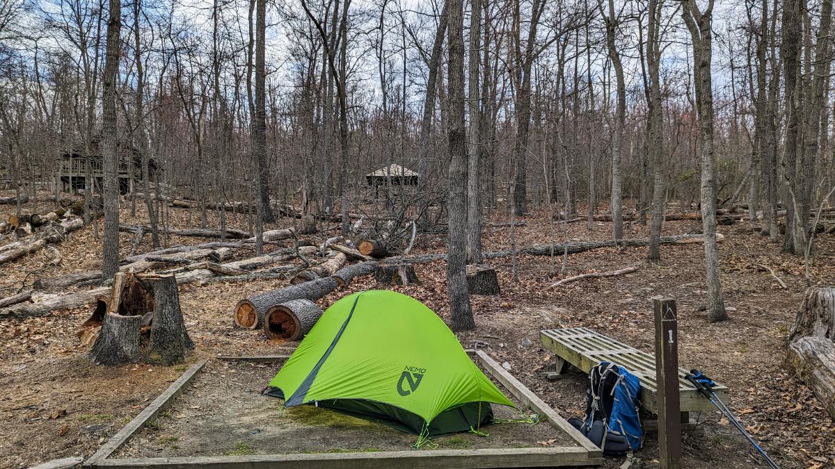
Day 1: Home to Turtle Run hiker biker campsite
27.5 miles / 154 ft ascent
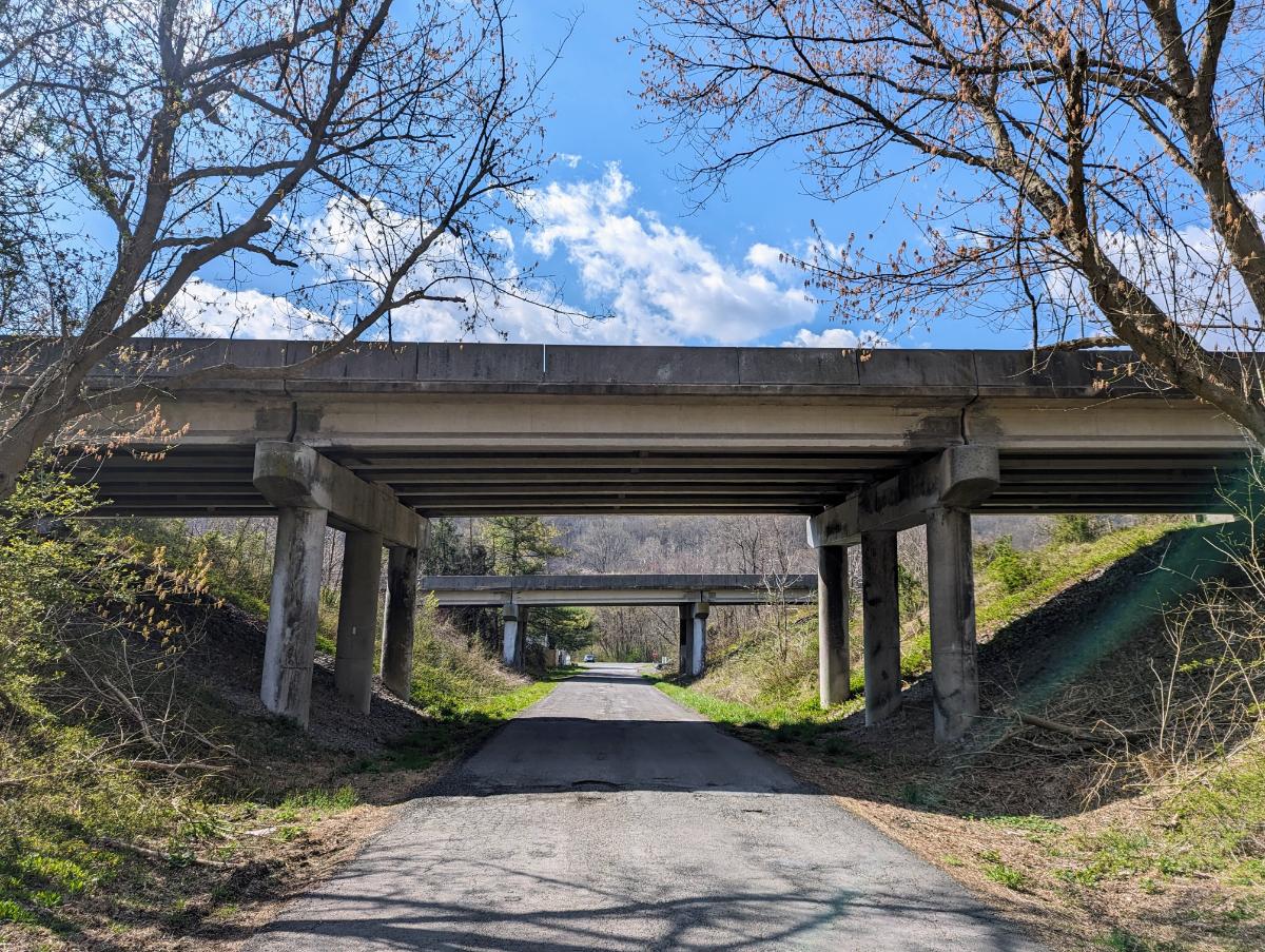
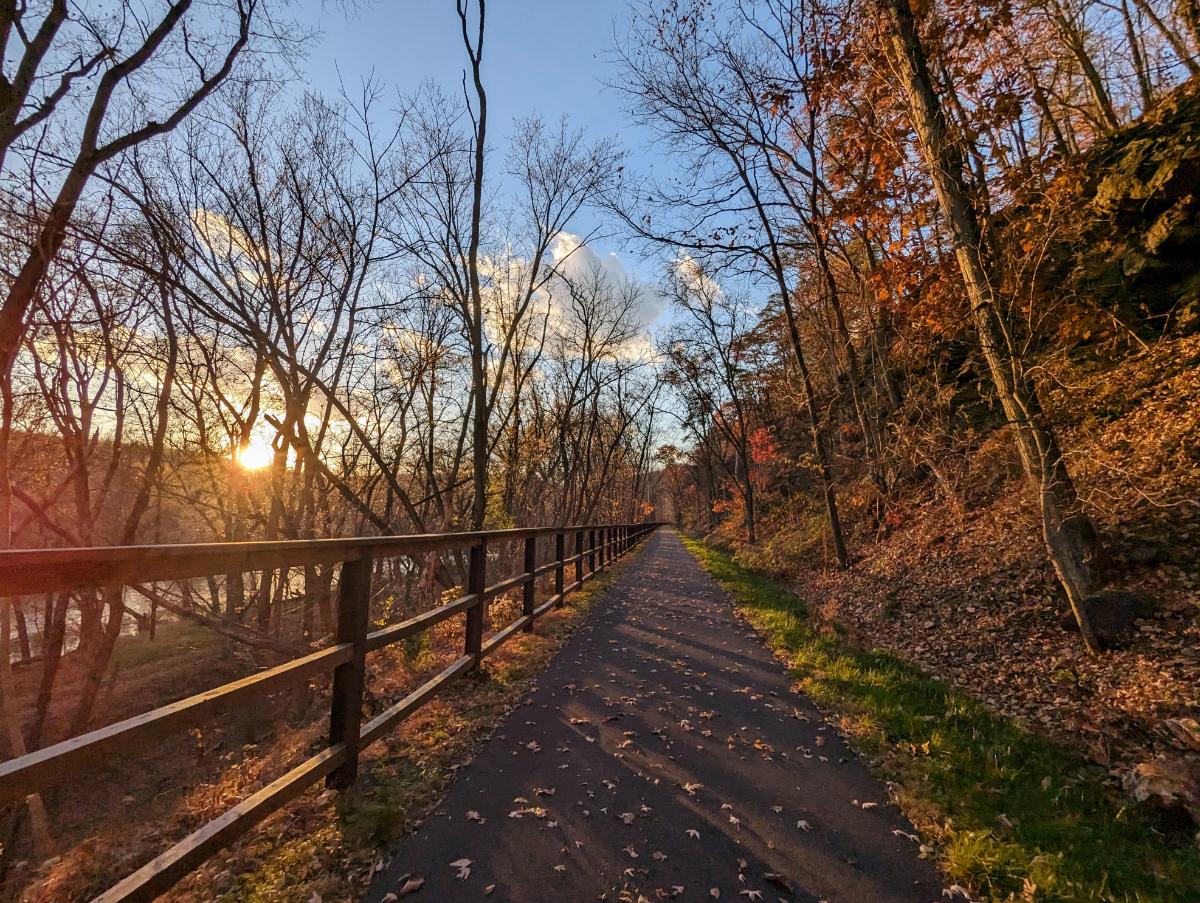
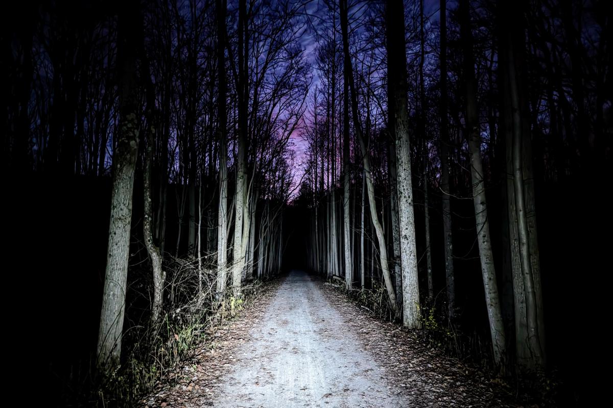
Surly Grappler in bikepacking mode, with the front panniers mounted higher to avoid catching anything when riding singletrack.Day 1 was along the C&O canalLove this trail!View from the cockpitCamp at Turtle Run hiker biker campsite along the C&O canalBeautiful evening light at camp.Camp routine: dinner, mug of hot tea, and recording the day’s events in my journal.
Day 2: Turtle Run campsite to home, via Little Seneca Lake and Sugarloaf mountain
61.5 miles / 4,341 ft ascent
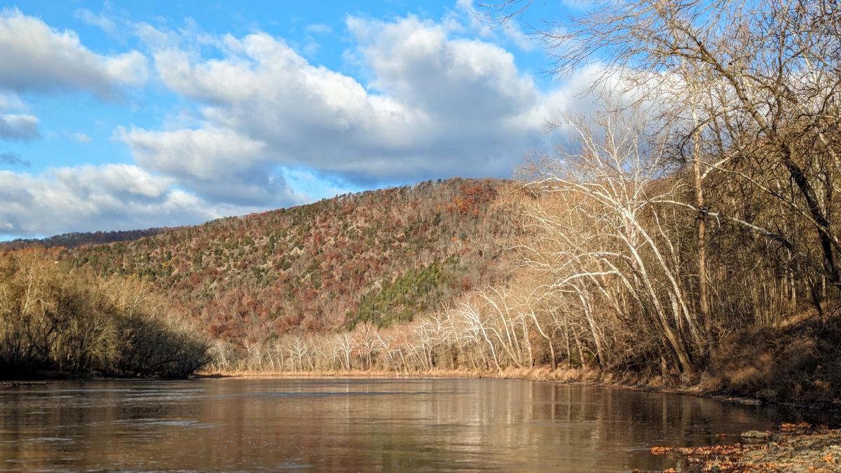
The lock house at lock 25, where I turned off the canal towpath to head into Maryland.On to the quiet backroads of Maryland.Because the water pumps were not operational along the C&O canal yet, I had to stop in Poolesville to refill my water bottles.On to the singletrack around Little Seneca Lake!More swoopy singletrack.At the end of 10 miles singletrack. Harder and slower than the road! But more fun! 🙂Approaching Sugarloaf mountain.One of the hairpins on the ascent of Sugarloaf mountain.View from the top of Sugarloaf.Enjoying the gravel road on the backside of Sugarloaf, on my way home.
Tuesday 3/26: 9.8 miles from Harpers Ferry to David Lesser shelter (1,883 ft ascent)
Wednesday 3/27: 14.8 miles to Sam Moore shelter (3,007 ft ascent)
Thursday 3/28: 15.8 miles to Whisky Hollow shelter (3,863 ft ascent)
Friday 3/29: 18.9 miles to Tom Floyd Wayside shelter (4,210 ft ascent)
Saturday 3/30: 13.4 miles to finish in Front Royal (1,705 ft ascent)
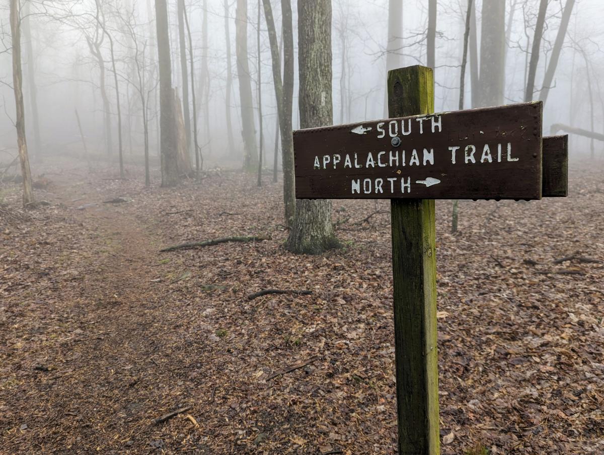
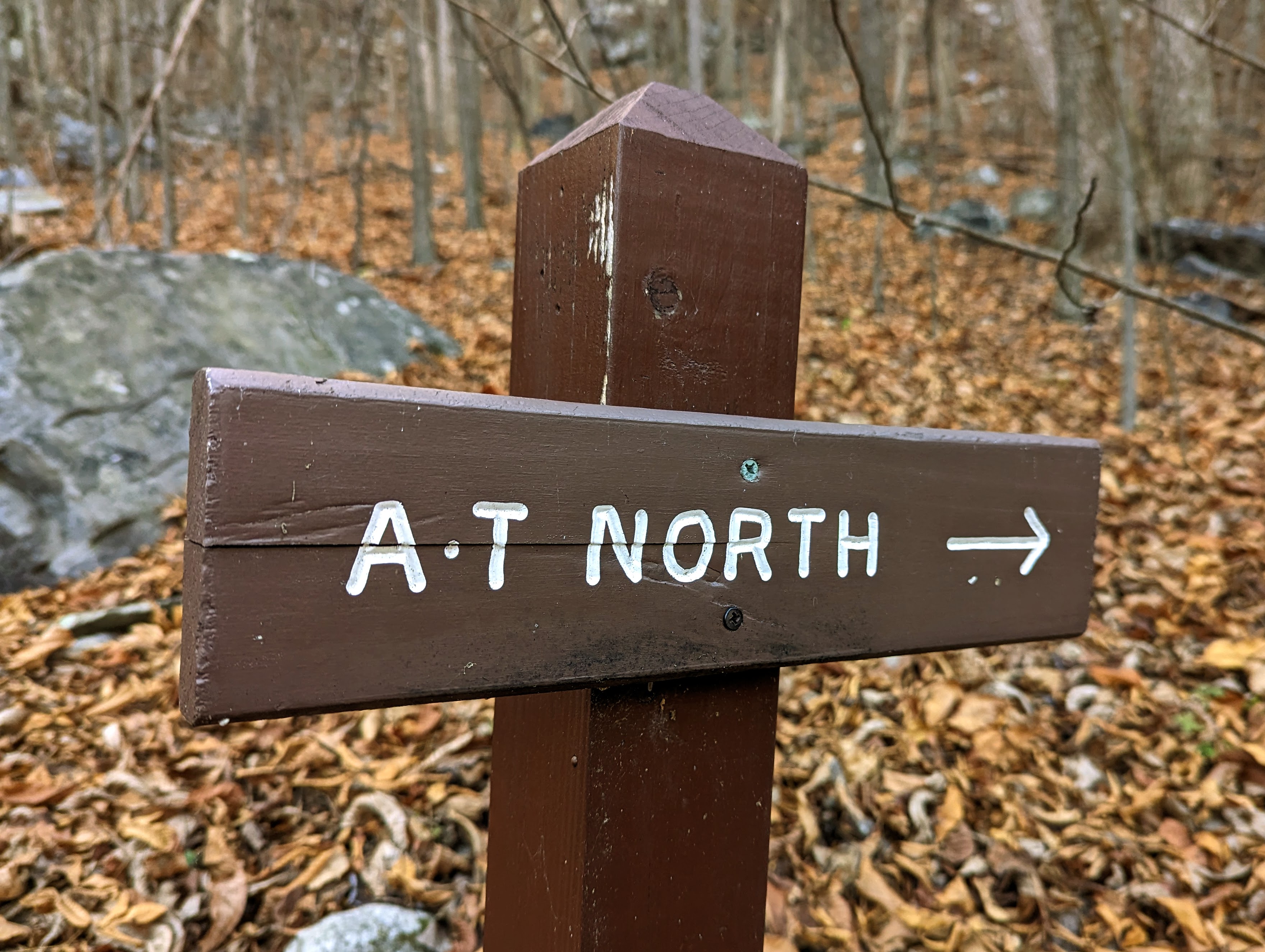
My plan was to follow the Appalachian Trail southbound, setting off from Harpers Ferry, bound for Front Royal.
For the first two-and-a-half days, the trail was familiar: I walked it (in the reverse direction) with my friend Alistair in 2022. Beyond Ashby Gap was new territory though. I’ve wanted to walk this route since we arrived in Harpers Ferry 5 years ago, so it was great to finally make it happen.
I got away by lunchtime, the morning consumed in a frenzy of packing, tying up work emails, and fretting about whether I had everything. It’s the same with every multi-day trip.
Nerves settle with the first few footsteps on the trail.
The best send-off! Lexi joined me to the park boundary. It was hard to say goodbye; I wished she was coming with me!The boardwalks signal your imminent arrival at Keys Gap.The Appalachian Trail signs are iconic.
I made good time to the shelter, as I’m deeply familiar with this section of the trail. The evening was cold, wet, and windy, but the rain didn’t fill in until after pitching my tent and having dinner. Three other hikers arrived and decided to stay in the shelter but I didn’t chat with them until the following morning.
A quick sit down upon arrival at the David Lesser shelter.It was a windy afternoon so I deliberated for a while, looking for the most sheltered camp spot (the one with the fewest big trees above!). The shelter is top left in this image.
Day 2: David Lesser shelter to Sam Moore shelter
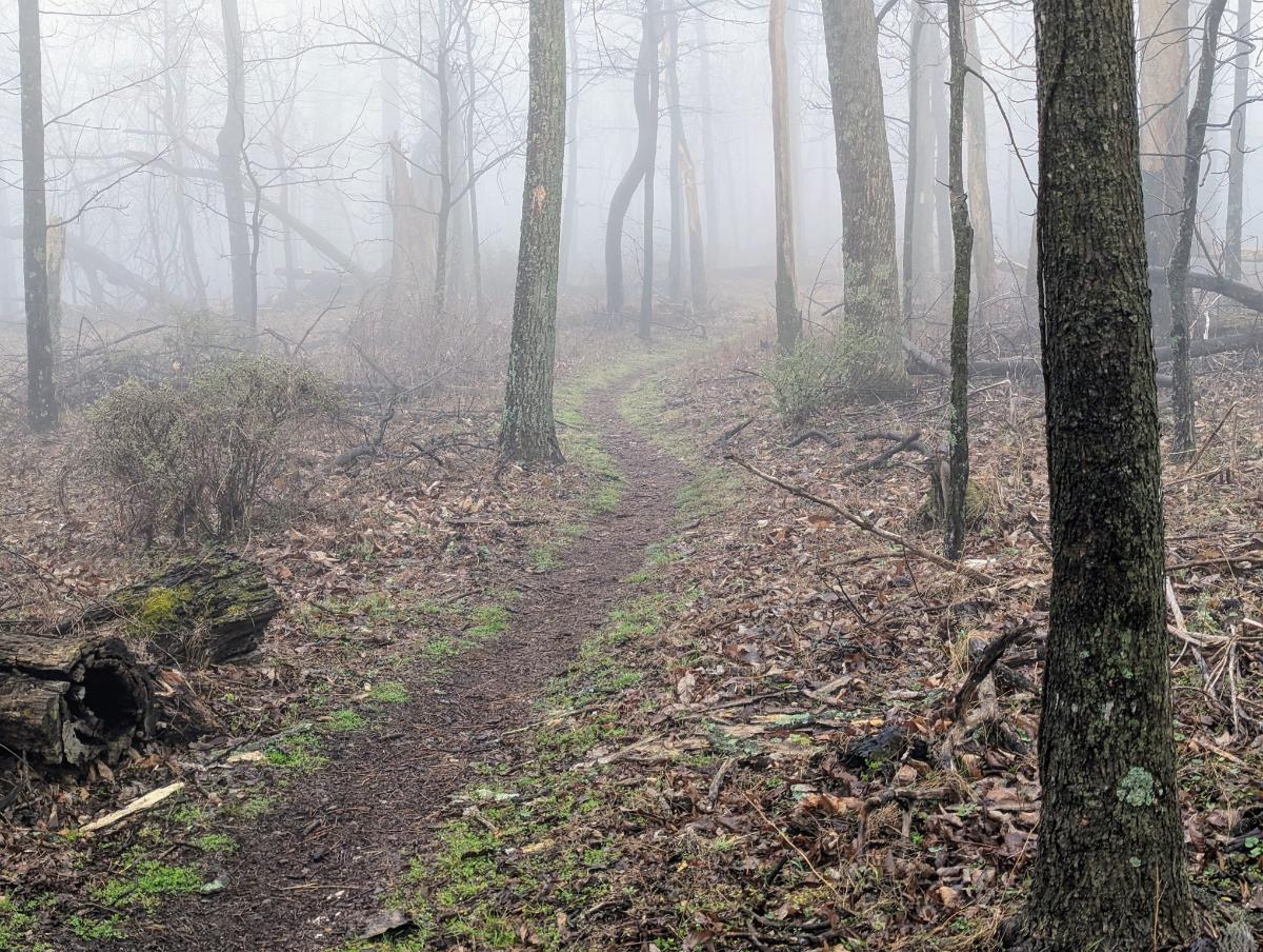
Mist hung on the mountain side, a thick grey soup that gave a primordial feeling to proceedings. I love these kind of conditions. Thankfully, the rain petered out by 9. I had a deliberately slow start to the day to avoid it. The tent was sopping wet though.
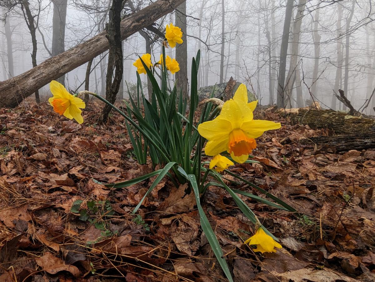
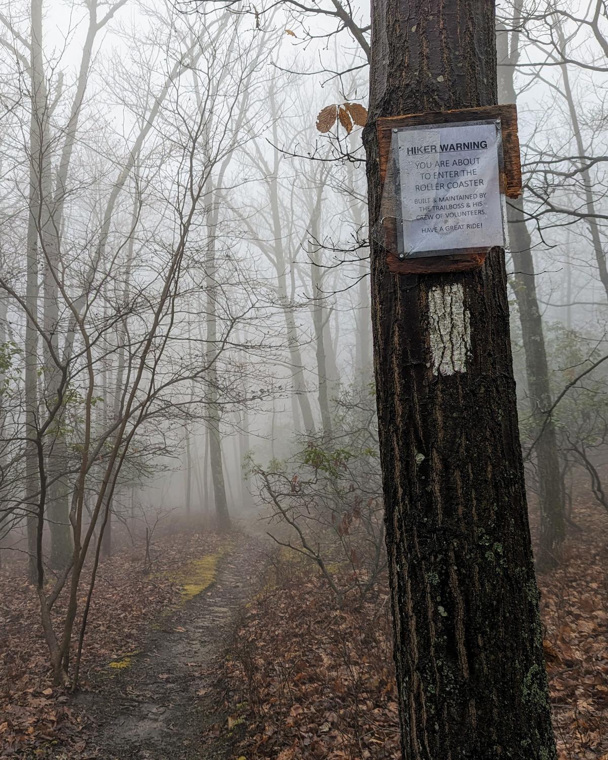
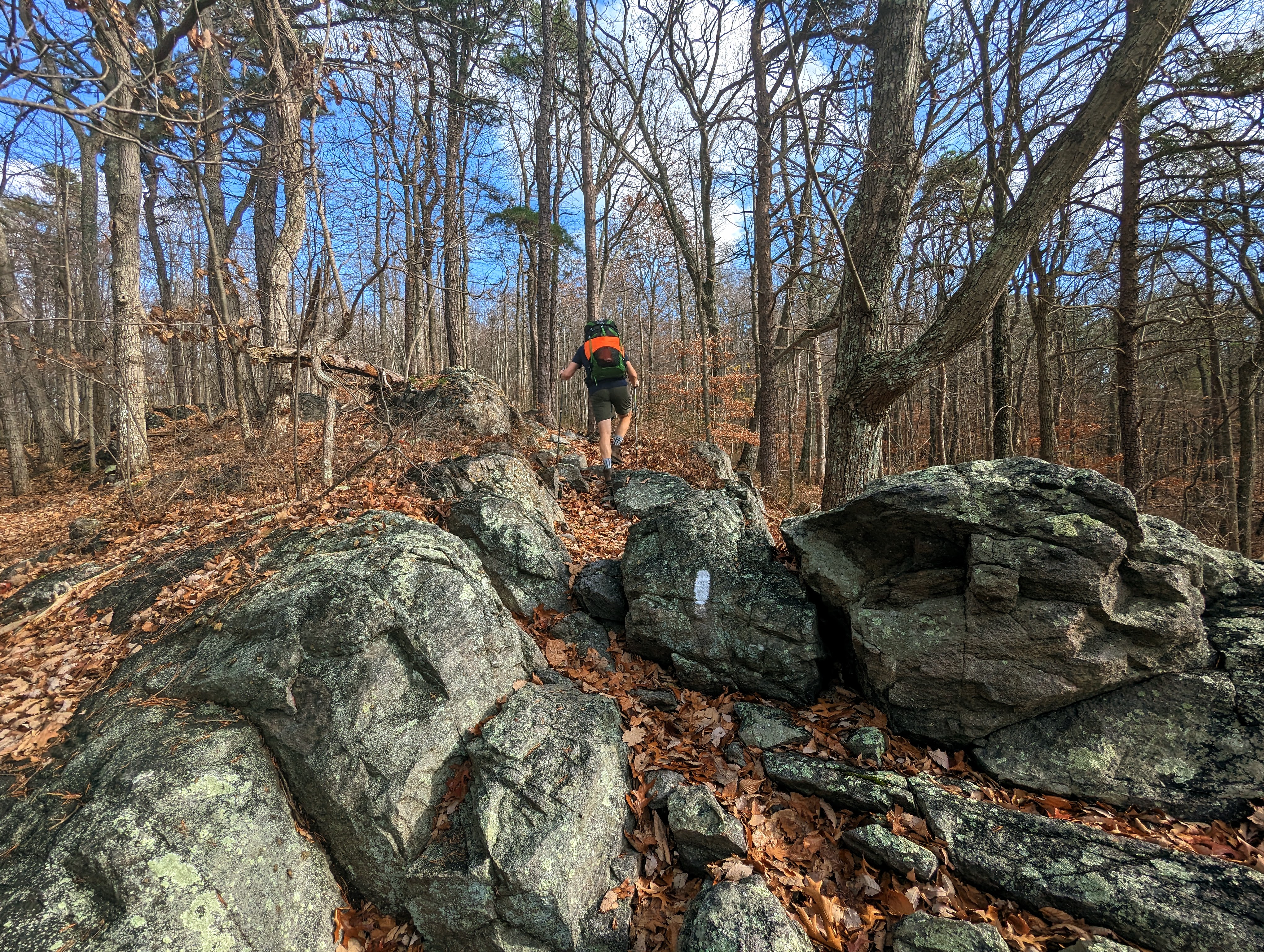
I awoke to a thick mist at camp.Smiling despite the wet, dreich morning.Setting off from David Lesser shelter, in full rain gear.Into the mist once more.There is something beautifully serene about walking through mist-clad woods.One of my favorite stretches of trail of this section is the rocky traverse along the exposed ridgeline.Lonely wild daffodils provided a dash of color amongst the muted pastels of this drab day.The big boulder near to the Blackburn Trail Center.Entering the infamous roller-coaster section: the trail goes up-and-down and up-and-down for the next 17 miles.A colony of Trichaptum along the trail.Sadly no views at Raven Rocks lookout on this occasion. After crossing Snickers Gap (US 7), I climbed up to Bear’s Den lookout and enjoyed the lookout now the cloud base had lifted.The story here: I walked straight into this tree and smacked my head. Thankfully more of a glancing blow across the top of my head than full to the face. But a warning to pay more attention!The wonderful Sam Moore shelter.I pitched my tent in the same place as when I visited here 2 years ago with Alistair, on our 3-day AT hike.
Inspired in part by Alistair Humphrey’s Local book, I use the PictureThis and Merlin apps to identify plants and birds that I see on my walks. It deeply enriches my time in the woods, especially at this time of year when the spring flowers are out.
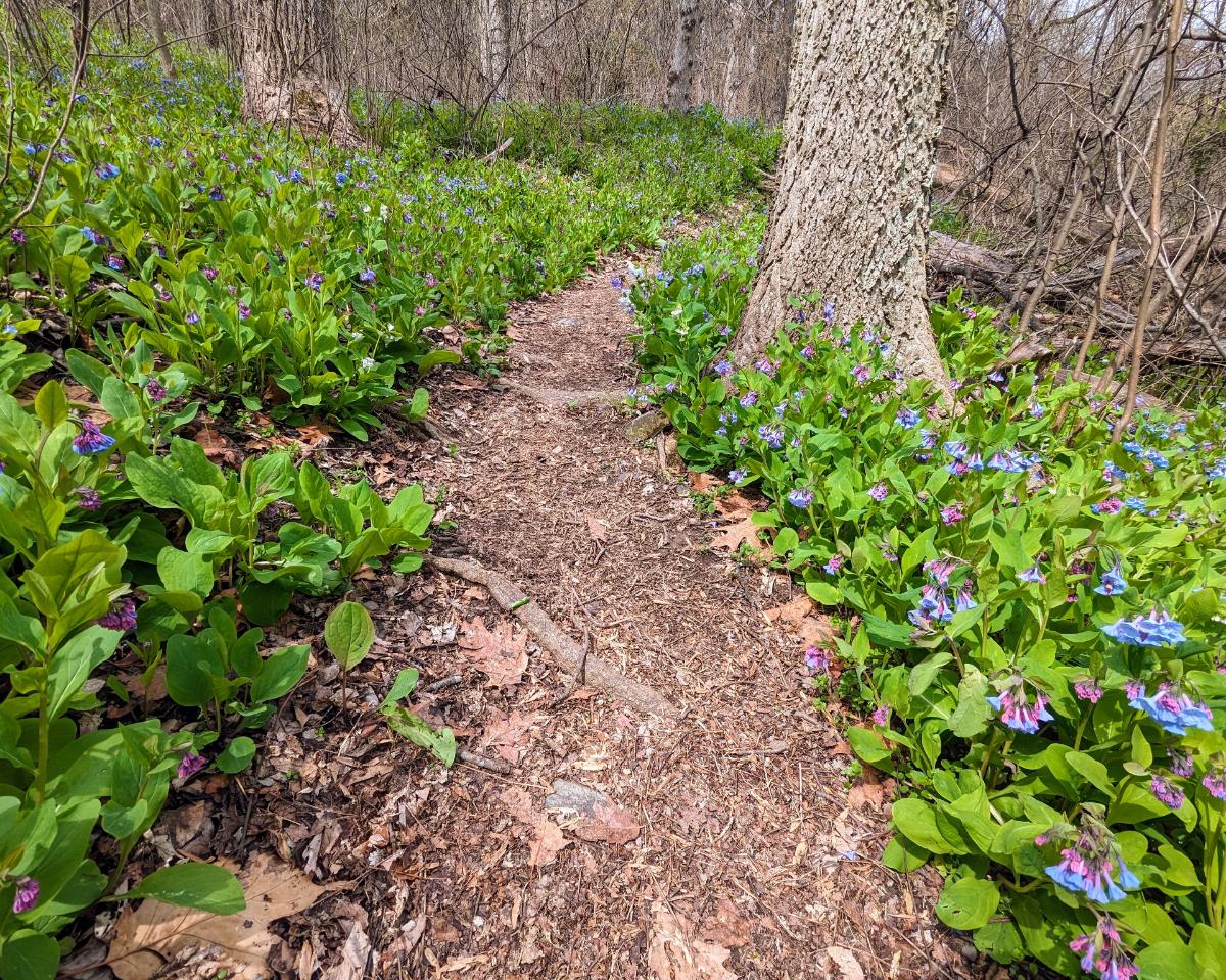
In addition to the daffodils and bluebells, I saw Bloodroot, Saxifrage, Common Periwinkle, Spring Beauty, Glory of the Snow, Rue-anemone, Violet, Chickweed, Yellow Fumewort, and lots of Cutleaf Toothwort.
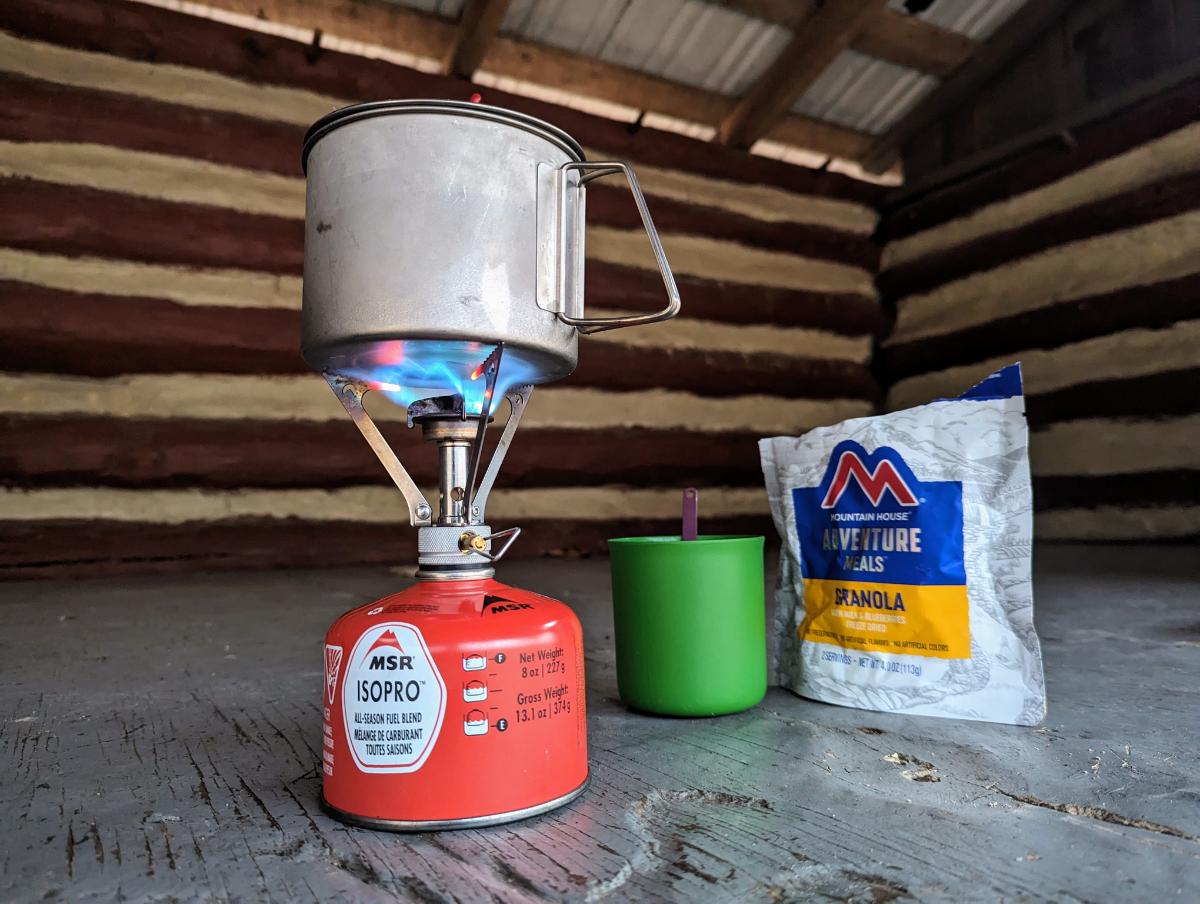
Green False Hellebore line the banks of Sawmill Creek, the small creek next to the shelter that serves as the water source for hikers.Dinner and journal, one of the most enjoyable parts of any day on the trail.
Day 3: Sam Moore shelter to Whisky Hollow shelter
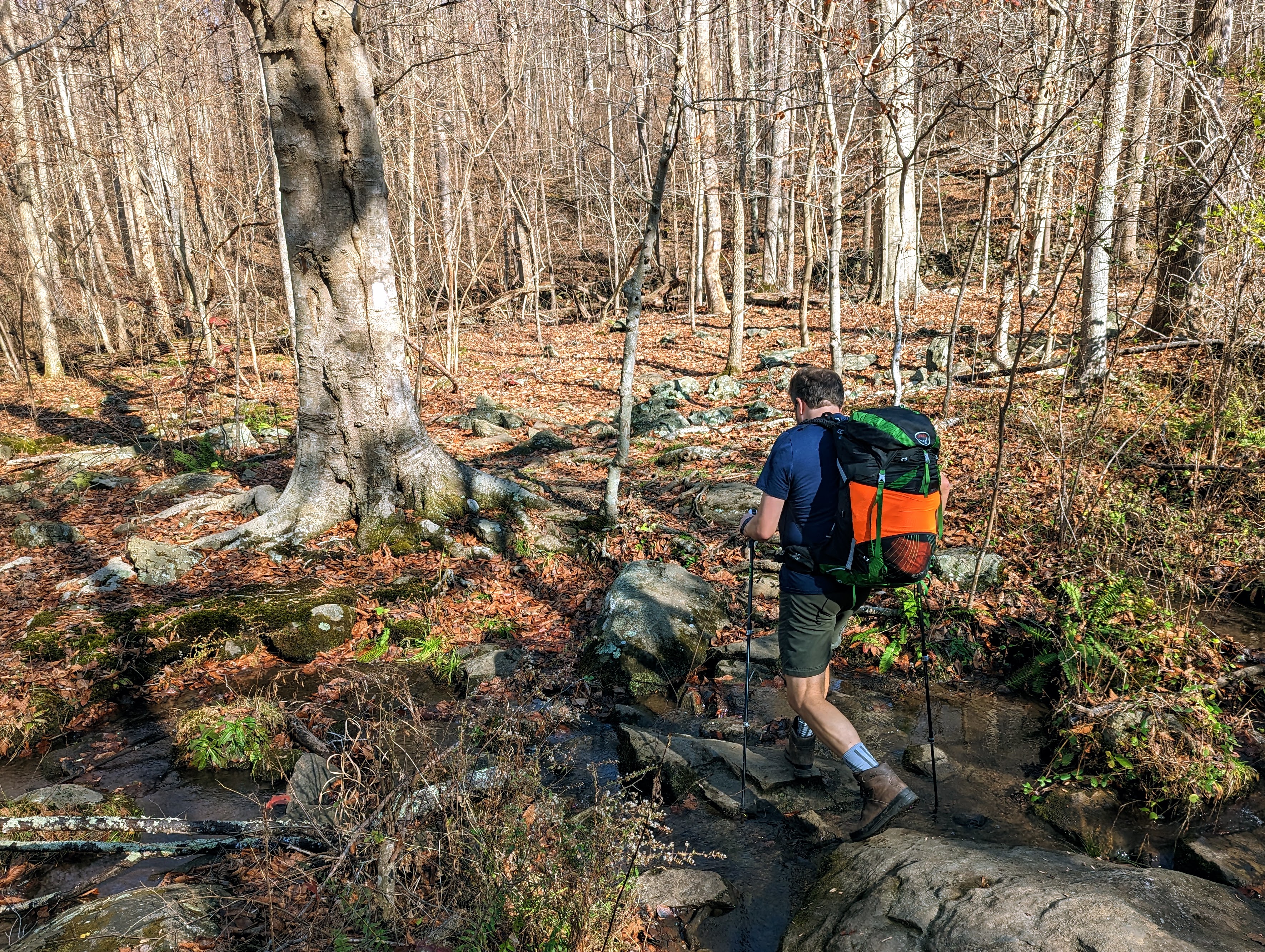
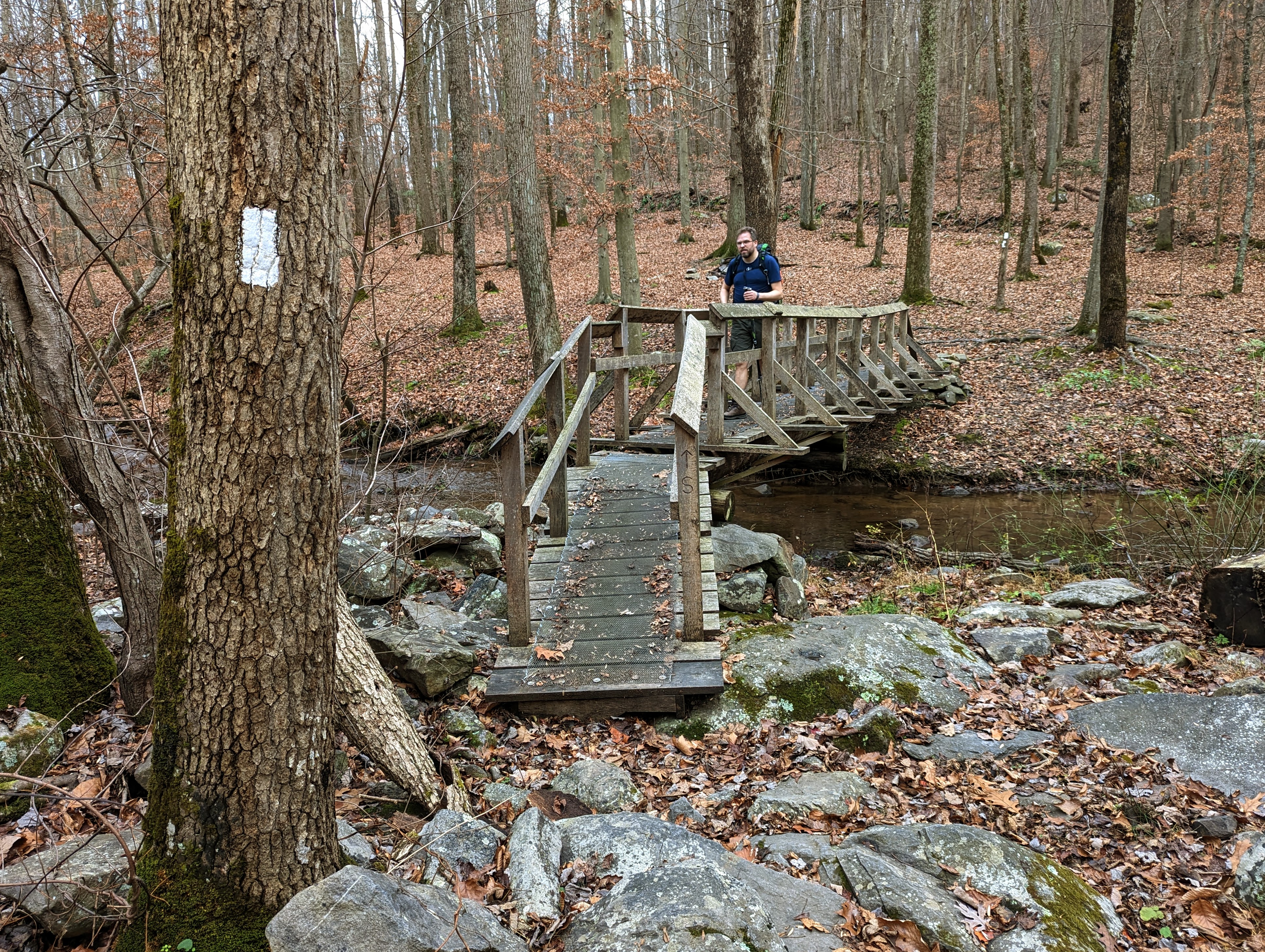
I awoke to another claggy morning, but it soon lifted.Breakfast of granola and coffee in the shelter.View from the top of Buzzard Hill.Stream crossing near Morgans Mill Road.Ashby Hollow (?) stream. So pretty.A delightful section of trail, carpeted with bluebells on either side.
When I crossed Ashby Gap (US 50), I walked onto a new-to-me section of trail. From here to Front Royal was entirely untrodden ground for me.
That feeling of venturing into the unknown, with everything I need on my back, is as intoxicating as ever. It’s the same feeling that my 21-year old self experienced setting off to walk across the Pyrenees one summer during University.
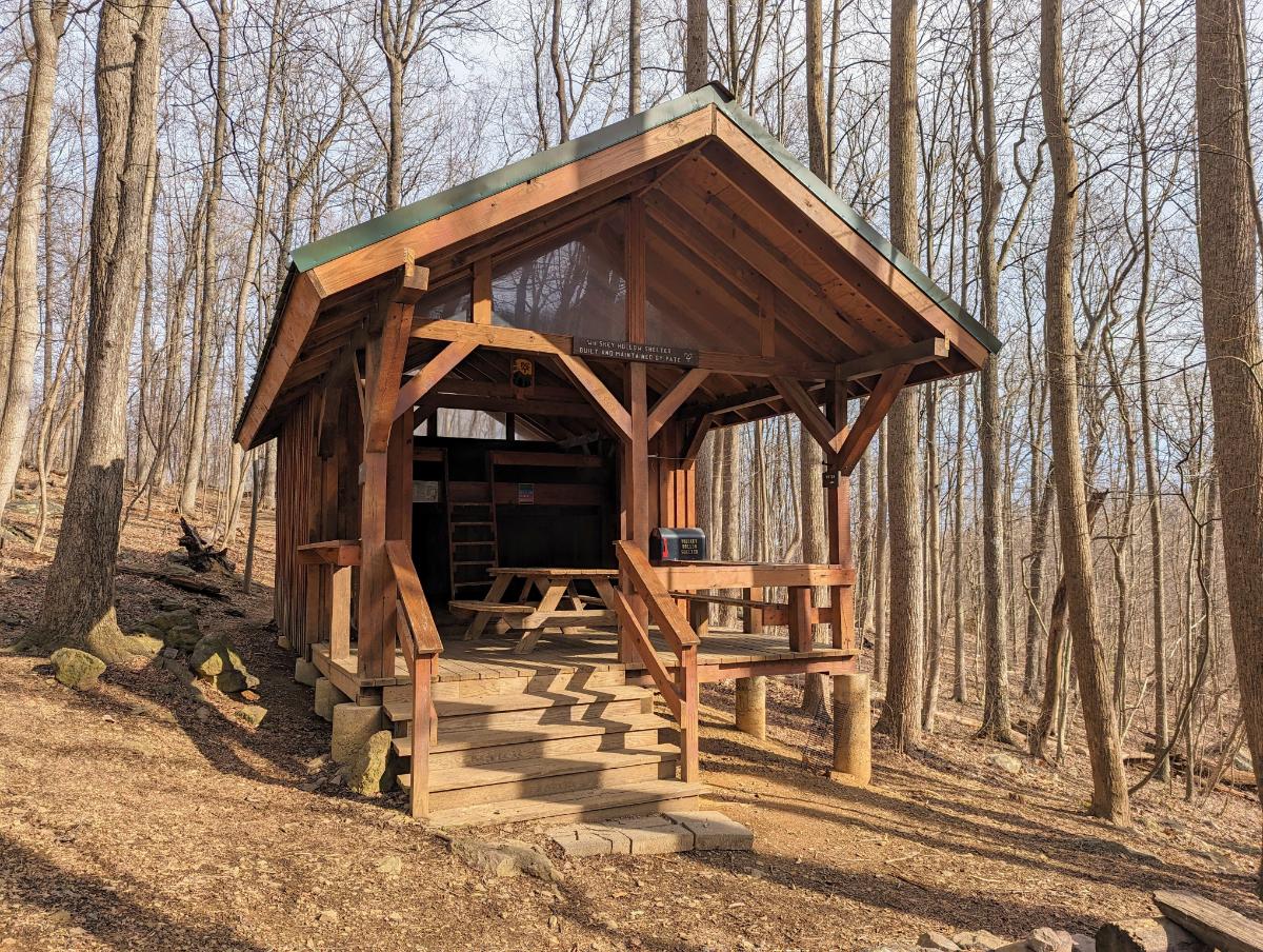
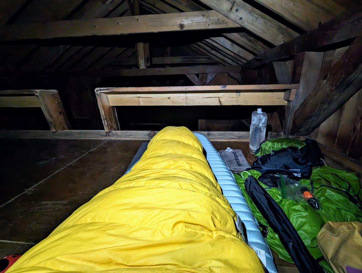
Sky Meadows was a beautiful, open space after days in the close confines of the trees.Looking east over Sky Meadows State Park.The mighty impressive Whisky Hollow shelter!View from inside. This is in the Premier League of AT shelters, with the Ed Garvey shelter the only other shelter I’ve seen of this grandeur.On account of the wind, I elected to stay in the shelter. It was convenient, but cold.
Day 4: Whisky Hollow shelter to Tom Floyd Wayside shelter
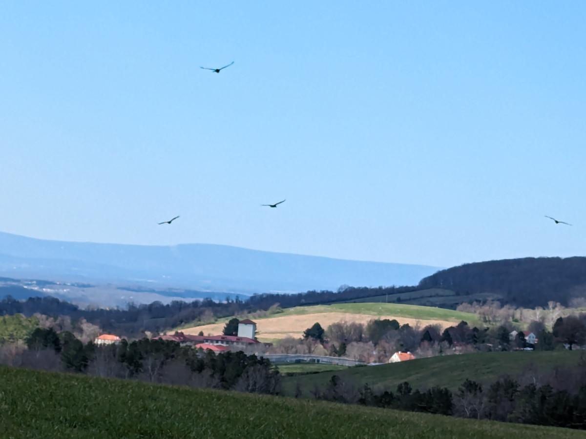
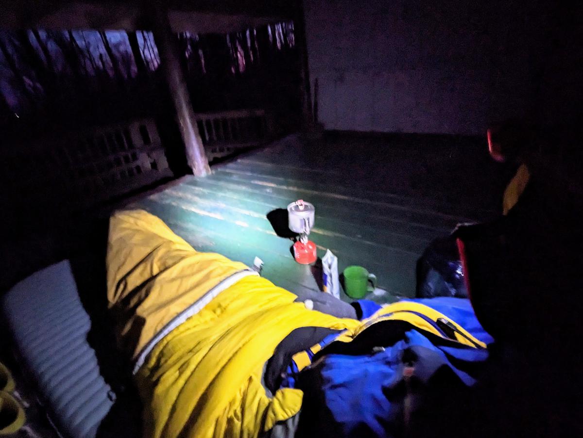
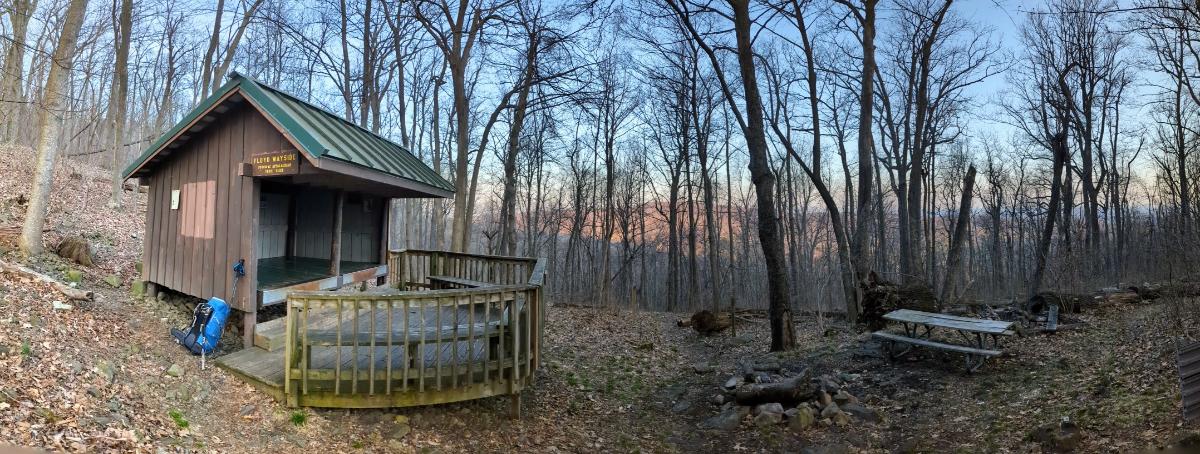
A beautiful sunrise through the trees, on the climb out of Whisky Hollow.Crossing under I-66.Starting the climb out from Manassas Gap and the I-66.Another lovely open section of meadows.A cast of hawks (I think?) flying over the Smithsonian Conservation Biology Institute’s land, on the climb out of Chester Gap.Tom Floyd Wayside shelter, my favorite shelter of this trip.The spring near Tom Floyd shelter: water source for hikers.Cooking dinner in the shelter.Sunset over High Knob, the ridgeline I’d crossed earlier in the day. The shelter is splendidly situated, on the slopes of the mountains that form the northern border of Shenandoah National Park (the shelter is a mile or so outside the park).Home for the night. It was another windy night, so I decided the shelter would be safer (from falling branches).
Day 5: Tom Floyd Wayside shelter to Front Royal
A mellow final day on gorgeous Shenandoah trails. I saw more people today than the other four days combined (being a Saturday in a National Park).
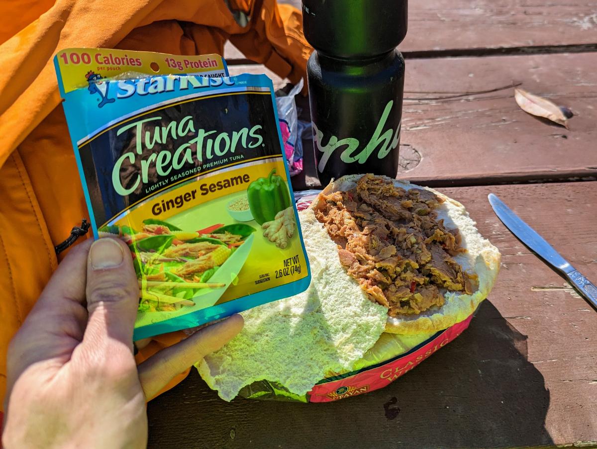
Cooking breakfast at dawn, from the warmth of my sleeping bag.Packed up and ready to leave.Arrival in Shenandoah National Park, under marvelous morning light burning through the thin mist.Nice to see the familiar stone marker posts in Shenandoah.Furry friend on the trail.View from the summit of Carson Mountain, 2,559ft.The interesting 3-bouldered summit of Carson Mountain.Crossing Skyline Drive.Views into the Shenandoah Valley from the Dickey Ridge Trail.A final tuna sandwich for lunch.Made it! Arrival at Front Royal.
Overall, this was a fantastic five days of backpacking through wonderful scenery. If I had any lingering doubts about my desire to one day hike the whole Appalachian Trail, this trip extinguished them. It’s a paradise for hikers and nature lovers.
Some photos and stories from a fall bike tour along the C&O canal and GAP trail:
Day 1: Harpers Ferry to Devil’s Alley campsite
86.6 miles / 7 hrs 53 mins
Liftoff! Running the lowrider front panniers and frame bag again. Taking the extra dry bag on top of the front rack and the rucsac to carry 7 full days of food and winter clothes.Stunning views at the point, Harpers FerryBeautiful morning reflection on the Potomac, taken near DarganI love riding in the fall.The raised towpath at Big SlackwaterWilliamsport basinC&O Bicycle shop in Hancock, Maryland, where I stopped for a snack breakRiding the scenic Western Maryland Rail Trail, parallel to the C&OGorgeous evening on the WMRTClosing in on Devil’s Alley campsite as the light fadedCooking dinner in the dark!
Day 2: Devil’s Alley campsite to Evitt’s Creek campsite
36.0 miles / 3 hrs 33 mins
5* accommodation on the canalBreakfast in bedBeautiful morning light on the Potomac River from Devil’s Alley campsite
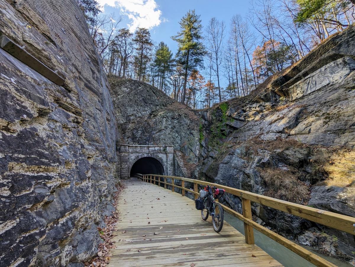
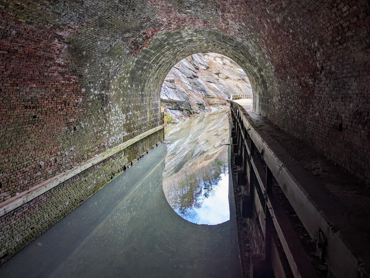
The highlight of day 2 was passing through Paw Paw tunnel again. This was my 3rd time through and it’s always impressive!
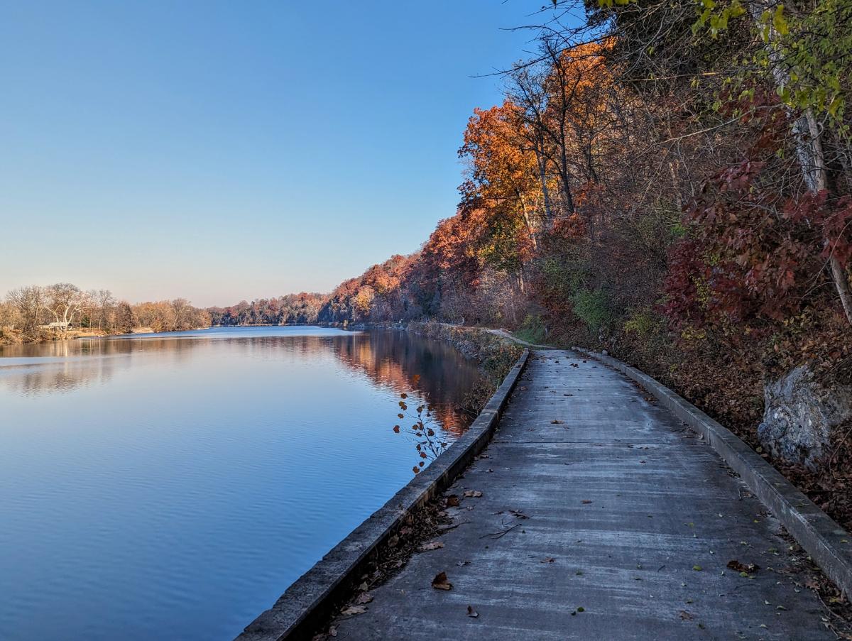
You approach the tunnel from the south through a rocky ravine, riding on a boardwalk above the canal. It’s a fantastic section of the trail.
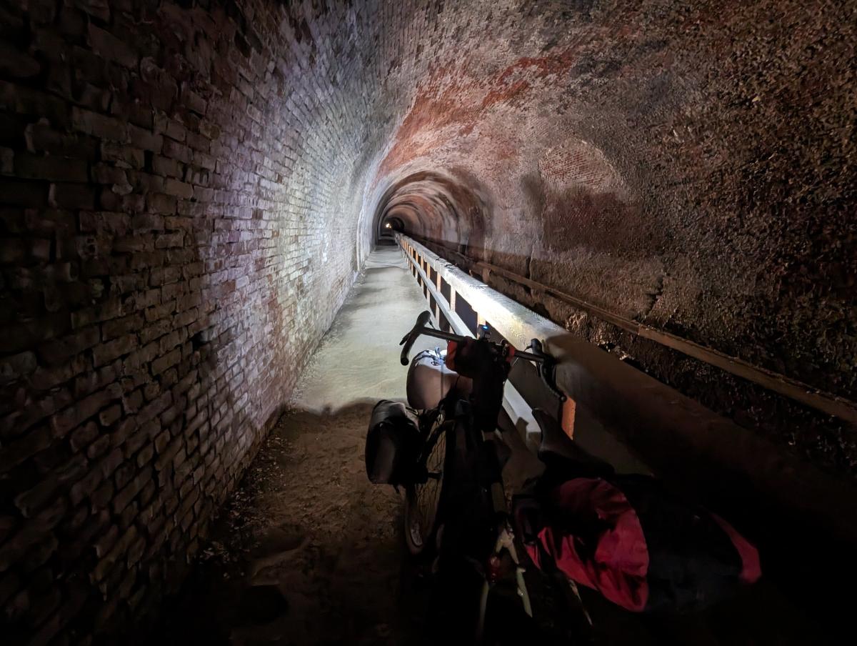
Then you approach the tunnel proper. It’s a crazy feat of engineering given when it was built (work began in 1836 and the tunnel opened in 1850). It was one of the masterpieces of civil engineering in the mid-19th century:
Approaching the tunnel entranceYes, it’s long. It’s very dark without lights. And almost certainly haunted.Tuna pita bread for lunch. Delicious!
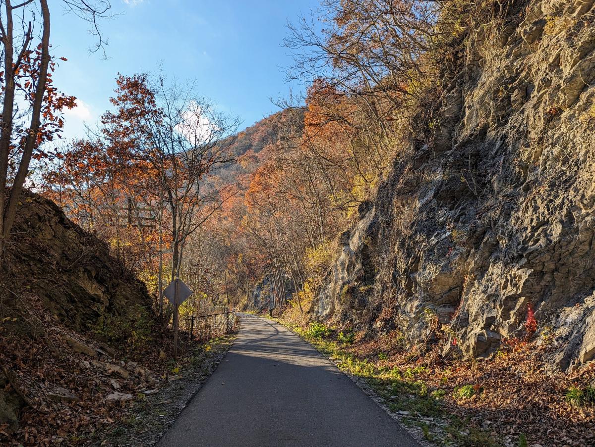
The trail beyond the Paw Paw tunnel is very scenic and quiet.
The path becomes increasingly scenic (and quieter) as you get deeper into western Maryland.Rocking the front low-rider panniers again. It worked really well on the test overnighter to Cumberland Valley last month.Reflections in the canal at Evitt’s Creek campsiteEvitt’s Creek camp alongside the Potomac River
Day 3: Evitt’s Creek campsite to Ohiopyle State Park
78.9 miles / 7 hrs 14 mins
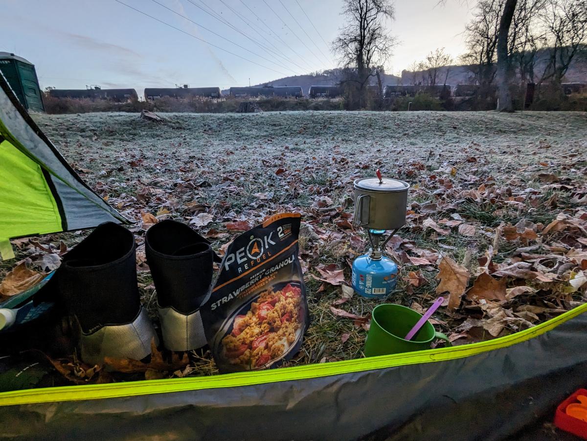
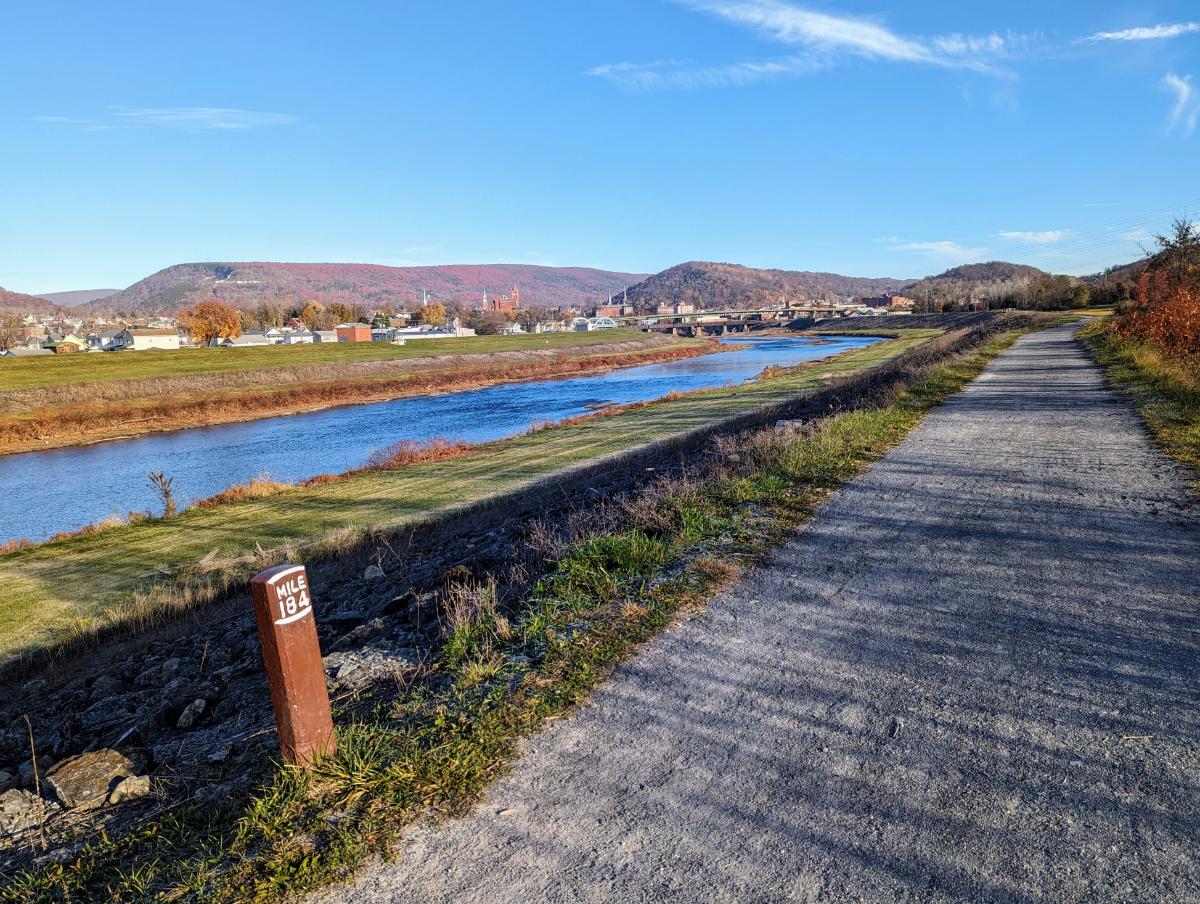
Cold morning, around 27FStrawberry Granola and coffee for breakfastThe bike was covered with a layer of frost as I set offMile 184 on the C&O canal, with Cumberland in the distanceCumberland, Maryland, where the C&O and GAP trails connect
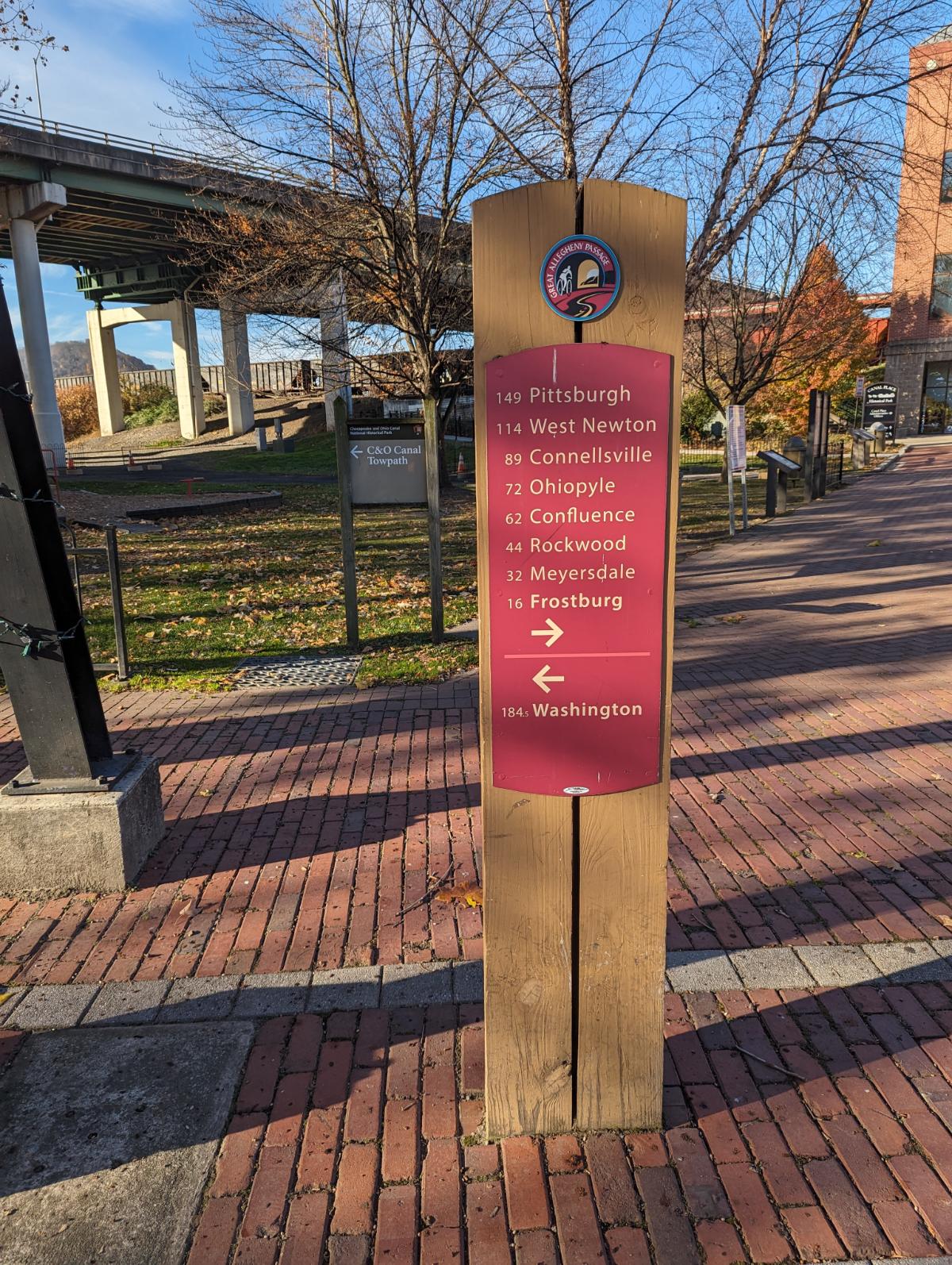
I stopped for a coffee in Cumberland and swapped the bumpy C&O canal for the smooth crushed limestone surface of the GAP trail.
The first 22 miles of the GAP trail are all uphill, at a gentle 1 – 2% gradient. Just enough for you to notice but it’s not too hard. It’s a long climb though, alongside the rail tracks for 12 miles or so. It’s a lovely ride.
On to the GAP trailEnjoying the change of scenery and smooth surface of the GAP trail.
I passed the Mason-Dixon line and officially left the south of the US and entered the north.
At the Mason-Dixon line
Shortly after, I reached the best lookout of the trip, at Big Savage mountain, just before Big Savage tunnel.
The lookout at Big Savage vistaUnder the mountain I go. Entering Big Savage tunnelThe very long, but not so dark, Big Savage tunnel.
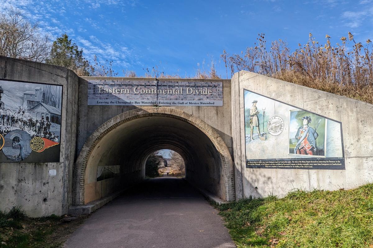
Just beyond Big Savage tunnel, I crossed the Continental Divide, the high point of the route. Any hopes of a freewheeling, coasting descent down the other side were quickly dashed however. The gradient is so gentle (around 0.5%) that you hardly notice a change. Unfortunately, you still have to pedal. It’s perhaps 5% easier though.
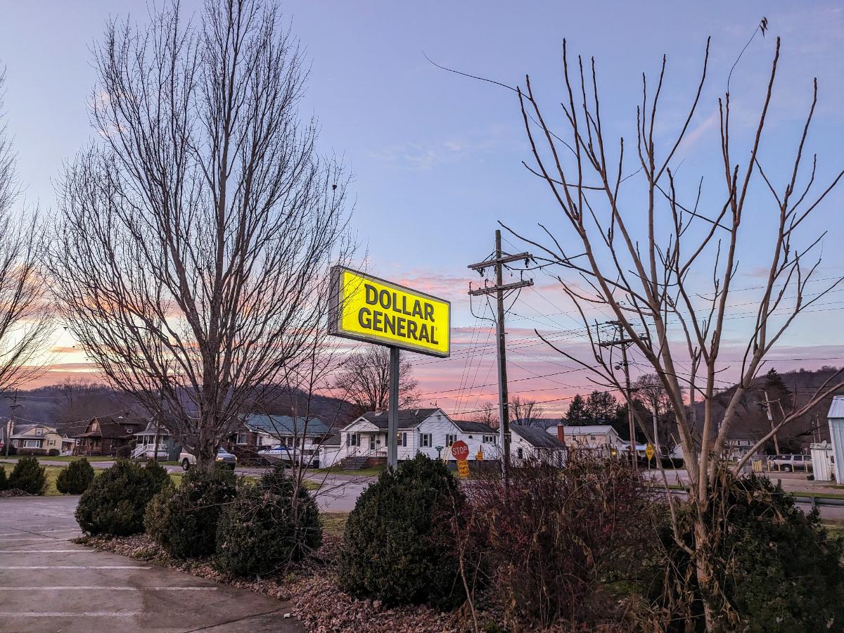
The Eastern Continental DivideCrossing Salisbury viaduct, which offered extensive views over the plainsIt was warm enough for shorts, which was nice contrast to the 27F morning!Dollar General in Confluence where I stopped to buy waterI left Confluence in the last of the daylight and rode into Ohiopyle State Park under lightsRiding into the night through Ohiopyle State Park. 90% fun, 10% intimidating.
Day 4: Ohiopyle State Park to Big Savage mountain
53.5 miles / 5 hrs 20 mins
I turned around at High Bridge biker campsite, making Ohiopyle the furthest point from home of this tour.
The campsite was wonderful. Nestled in the woods, just off the GAP trail. I had it to myself and I enjoyed the sun rising over the ridge line to warm me up while I had breakfast.
High Bridge biker campsite, morning of day 4Another cold start on the morning of day 4The Casselman River from Pinkerton High BridgeWonderful scenery along the GAP trailHeading back through Big Savage tunnel on this return journeyBeautiful evening view from Big Savage lookoutDinner and a book before turning in for the night.
As the sun set, the forest behind my tent came alive. The rustling began in earnest and the darkness magnified every sound until I convinced myself that bears were all around. In all likelihood, the noises were mostly squirrels and perhaps a few deer.
At one point, I let out a few wolf howles “arooo, arooo, aroooooooo” to let animals know I was there. I nearly jumped out of my skin when something howled back from the woods. To this day, I’ve no idea what it was but I didn’t dare make that noise again. LOL.
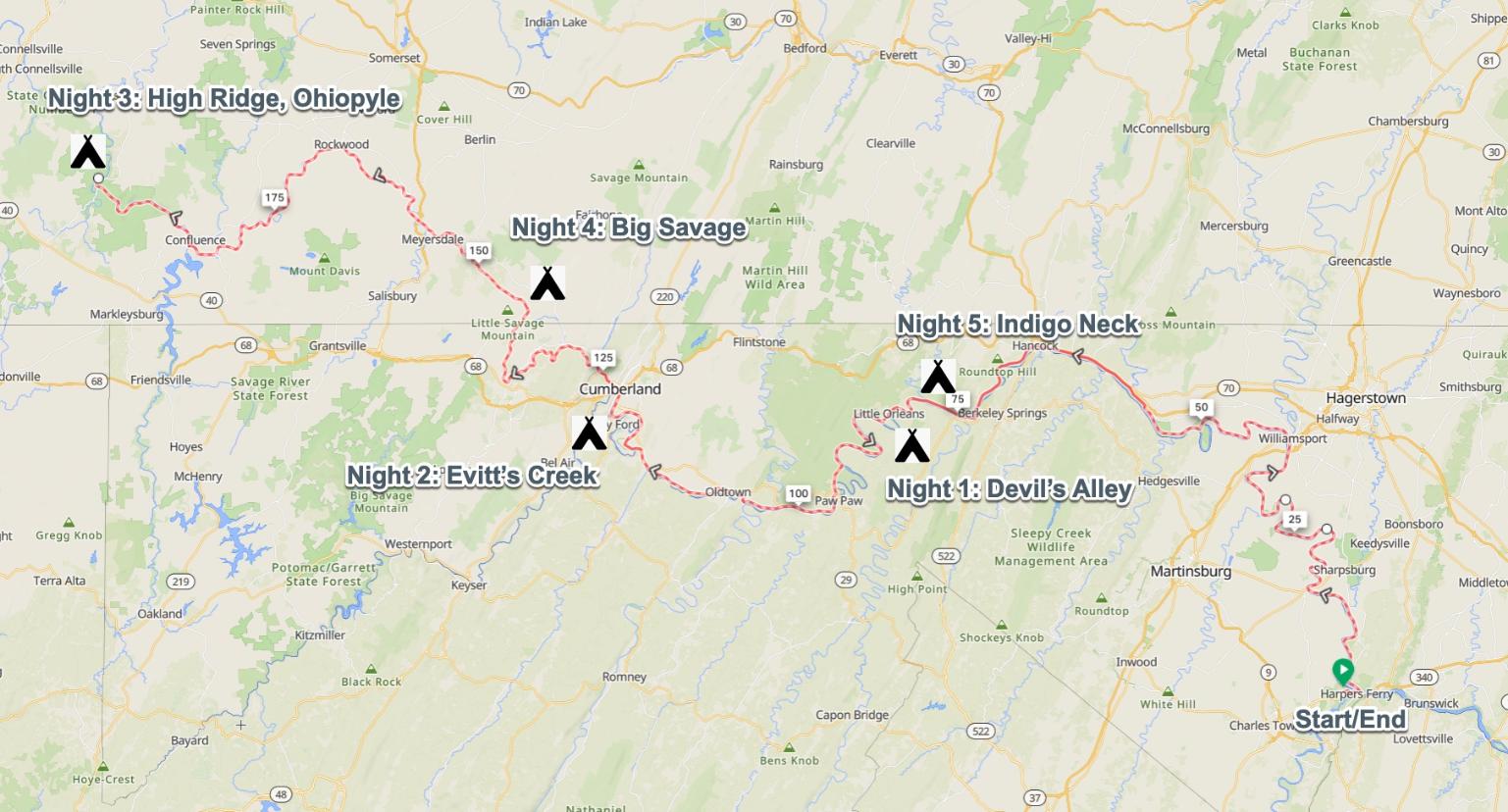
Day 5: Big Savage mountain to Indigo Neck campsite
68.1 miles / 5 hrs 28 mins
The sunrise at Big Savage lived up to expectations. It was magnificent. I got up early, just as the first slivers of purple and orange appeared on the horizon. Distant ridgelines and layers of cloud combined to make a spectacular palette. A worthy backdrop to breakfast that morning.
Dawn on day 5It was a beautiful morning from Big Savage lookout!Best coffee spot of the trip! Big Savage mountain overlook at dawn on day 5Sun rising at Big Savage overlook
After striking camp, it was 22 miles downhill into Cumberland. It wasn’t steep enough to freewheel, but it was easy pedaling and the fastest average speed of the trip. Cor blimey, it was cold though!
After another coffee stop in Cumberland, it was back onto the C&O canal.
Lock 70 at OldtownSuper riding through one of the more remote sections of the canal, between Oldtown and Paw Paw.Passing back through the Paw Paw tunnel.Nearly there!
Day 6: Indigo Neck campsite to home
84.8 miles / 7 hrs 20 mins
The tent at Indigo Neck hiker biker campsite on the C&OCooking a final breakfast of the tripPassing the ruins of Round Top Cement MillIt was past the peak foliage but the fall colors were still stunning.I haven’t had a McDonalds for years, but it’s always a tradition to have a Big Mac on long expeditions so I kept this alive with a stop in Williamsport on my way through.The section of trail at Big Slackwater never disappoints. Smiling because I’m so close to home now!Caught out by the short days again, I rode the last hour in the dark.
At Big Woods Hiker Biker campsite, along the C&O Canal
One of my goals this year is to camp out for at least one night every month. I managed it in January (see January bikepacking overnighter) but missed February (life and work were busy).
It looked like March was going to be another miss, but right at the end of the month, after launching a big work project, I was able to sneak out for another sub-24 hour overnighter.
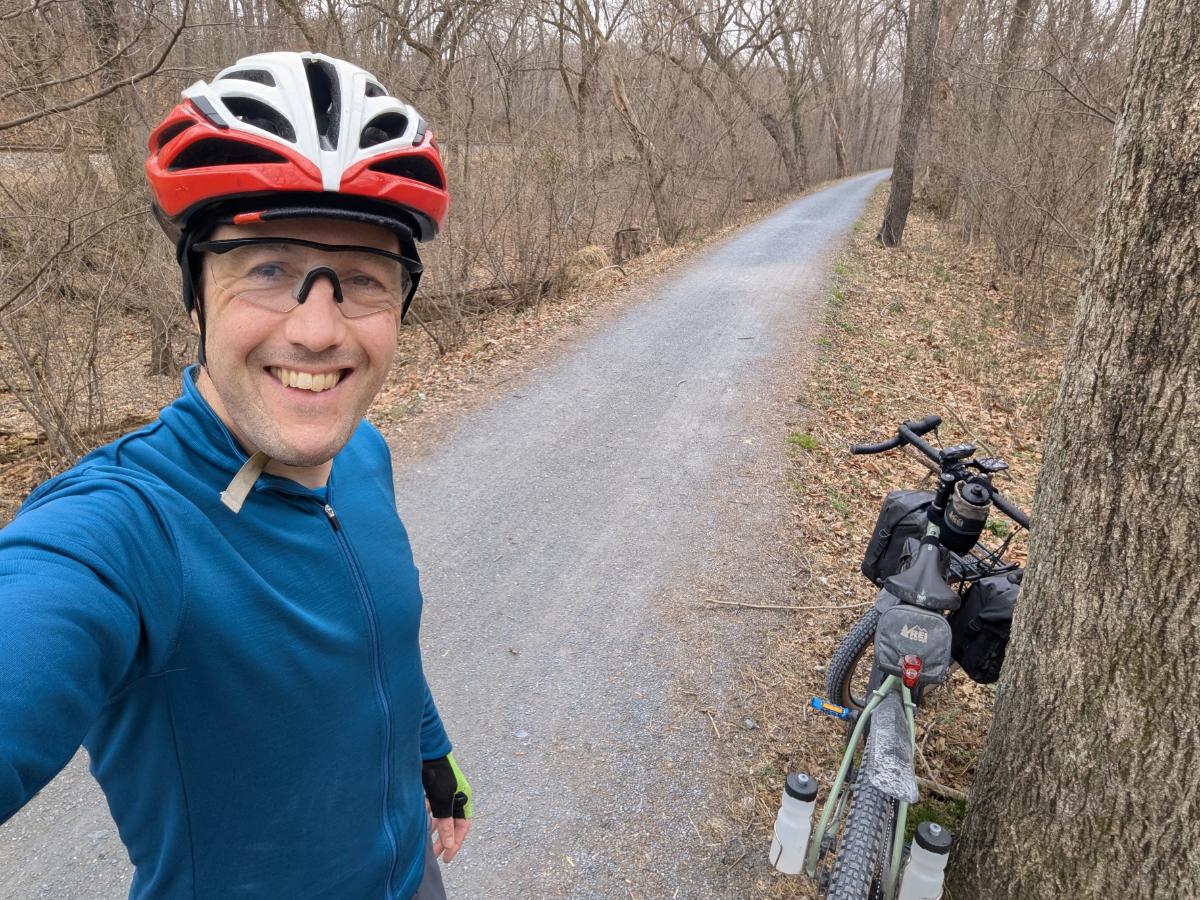
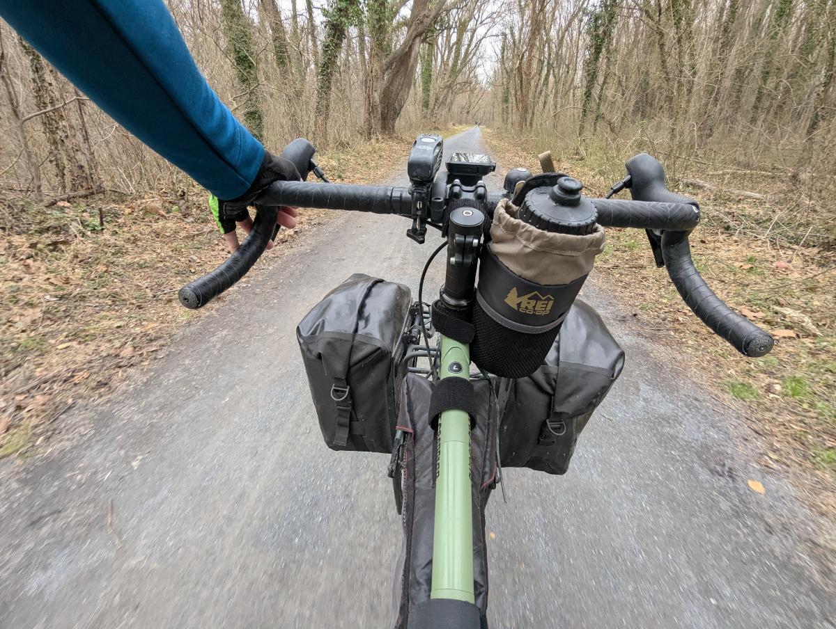
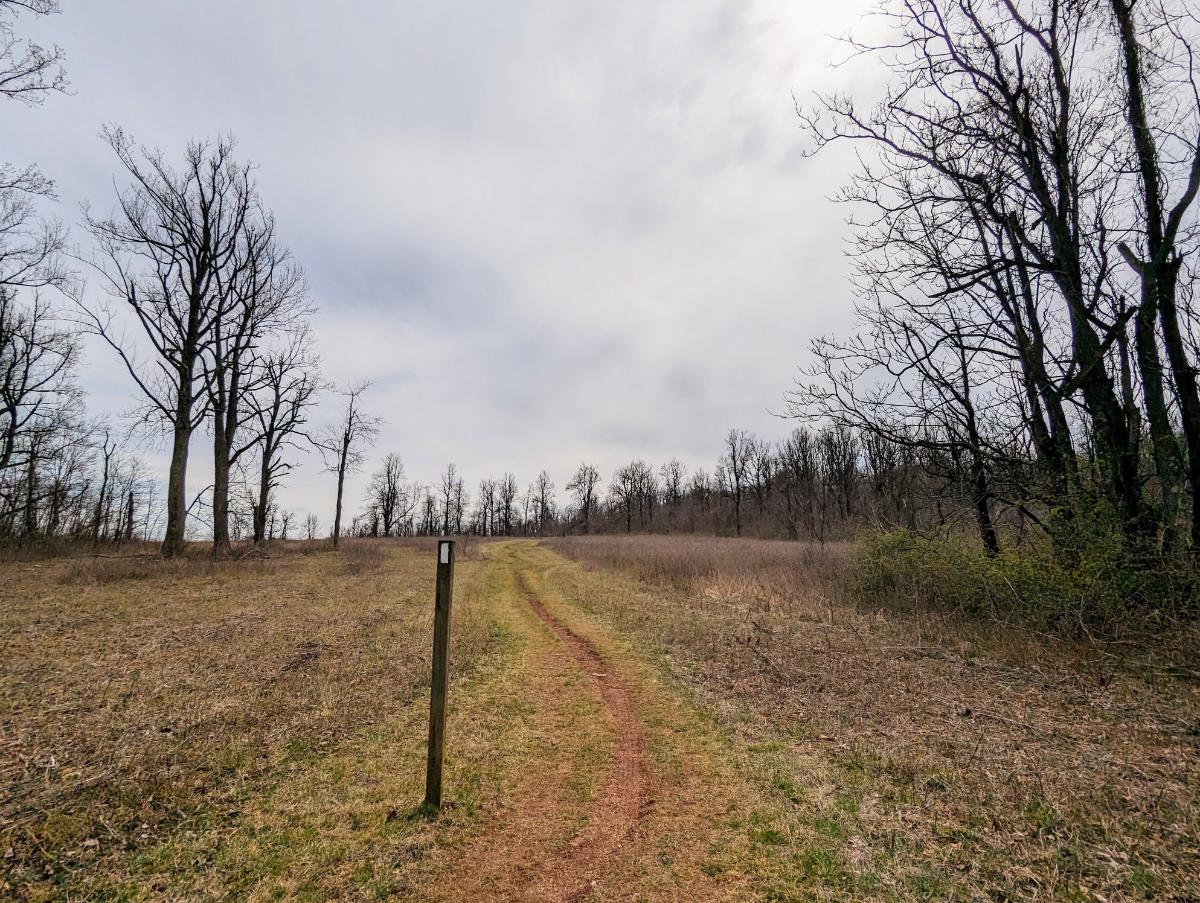
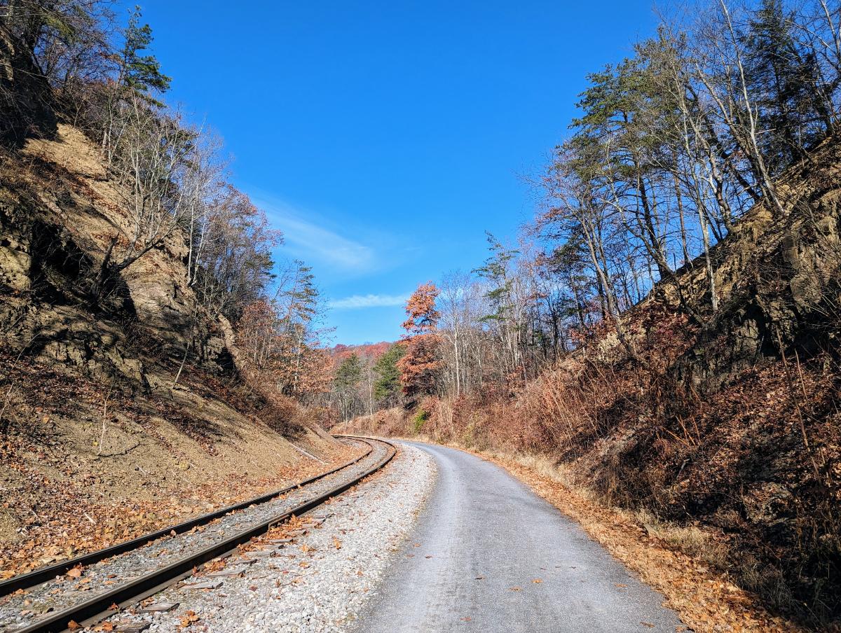
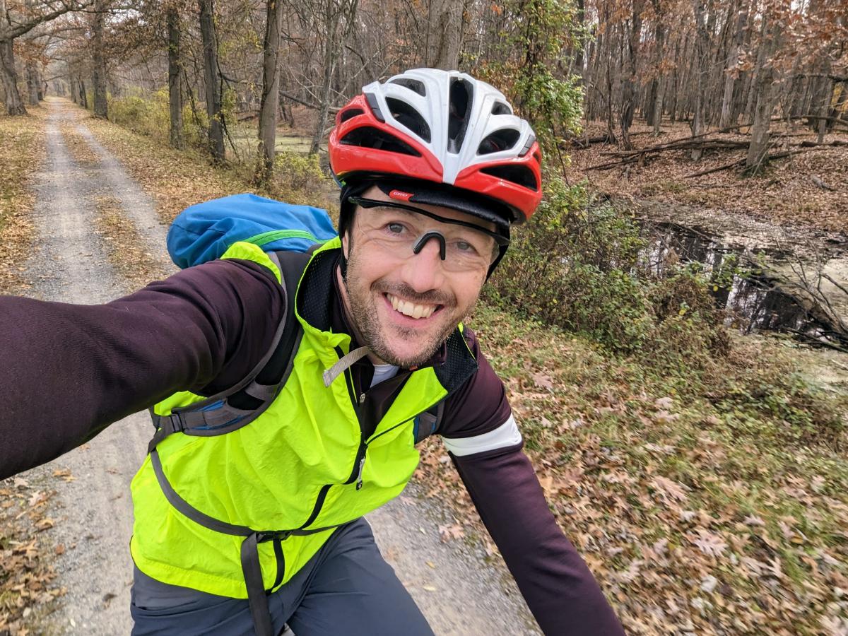
Day 1: Home to Big Woods, via dam 4, 27.5 miles
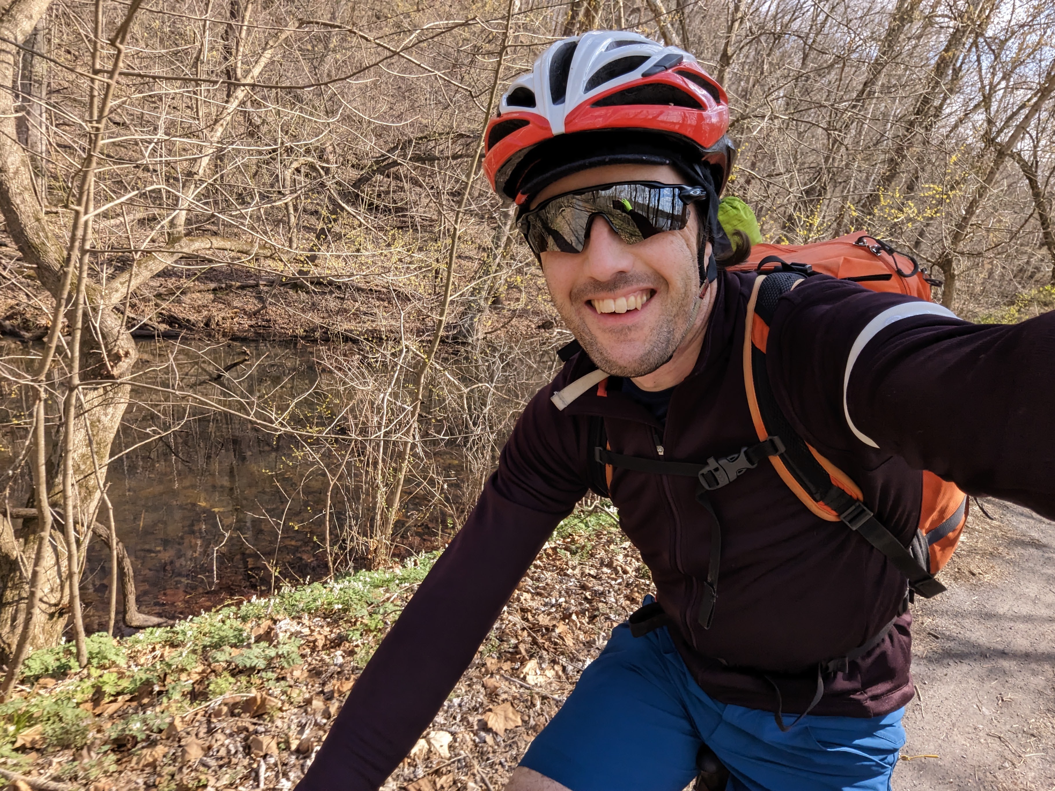
Like the January trip, I rode from home along the C&O Canal towpath to one of the backcountry campsites: Big Woods hiker biker site.
I got away at 3.30 pm, headed upriver on the canal towpath. I’ve ridden this section countless times, but I always enjoy the meditative experience of riding in solitude alongside the river. There were only a handful of dog walkers out on the trail on a mid-week afternoon and I enjoyed the quietness.
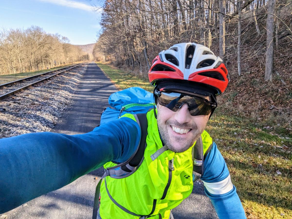
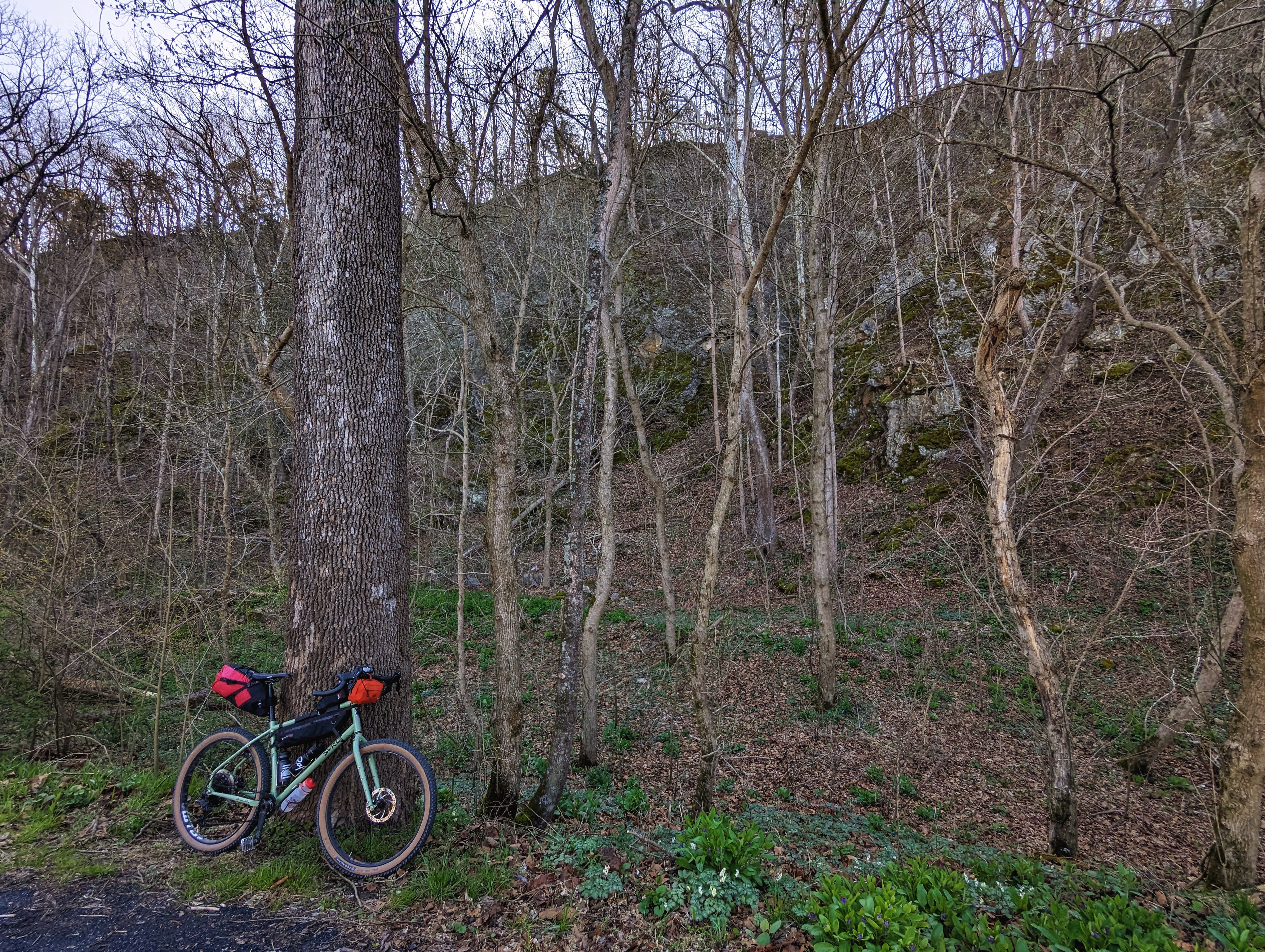
Enjoying easy miles along the canal towpathLoving the comfy ride of the Surly GrapplerIt won’t be long until the towpath is a green tunnel again
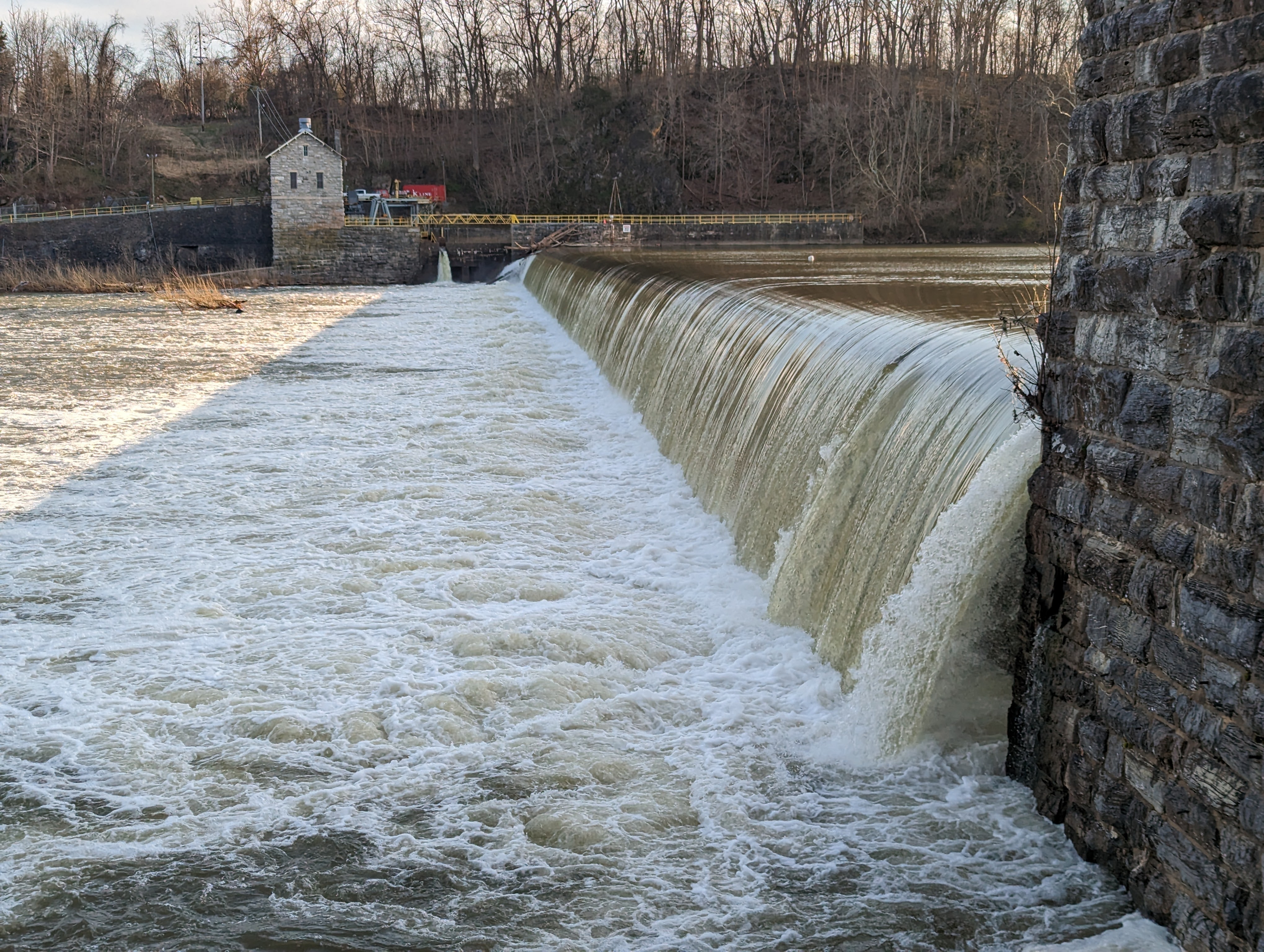
Although Big Woods is before dam 4, I decided to prolong the riding into the early evening and ride on to see dam 4. It’s an impressive low-head dam that I stopped at with my brother on our north east tour in 2014. A great place to enjoy the river and appreciate its power.
Dam 4 on the Potomac River
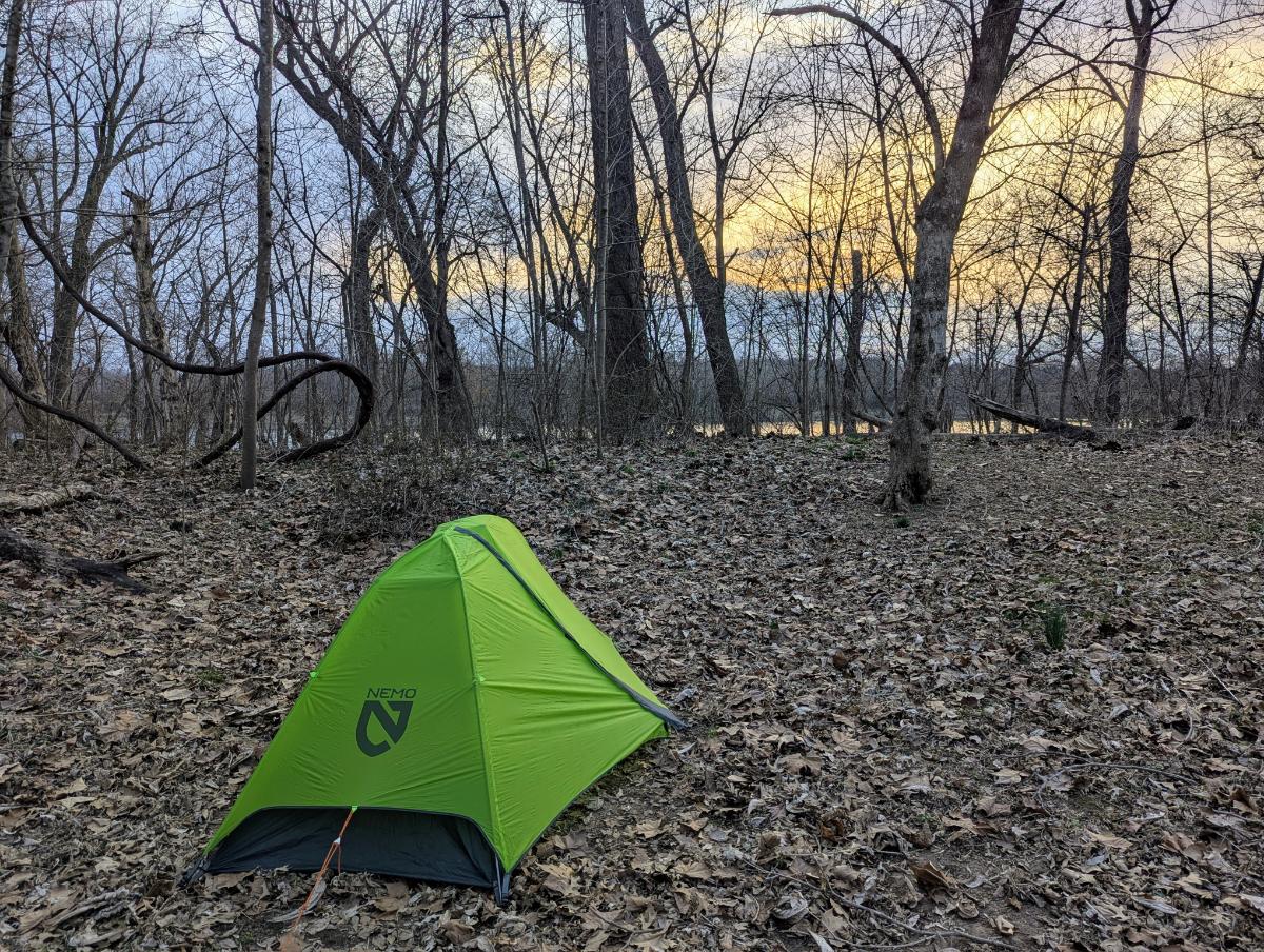
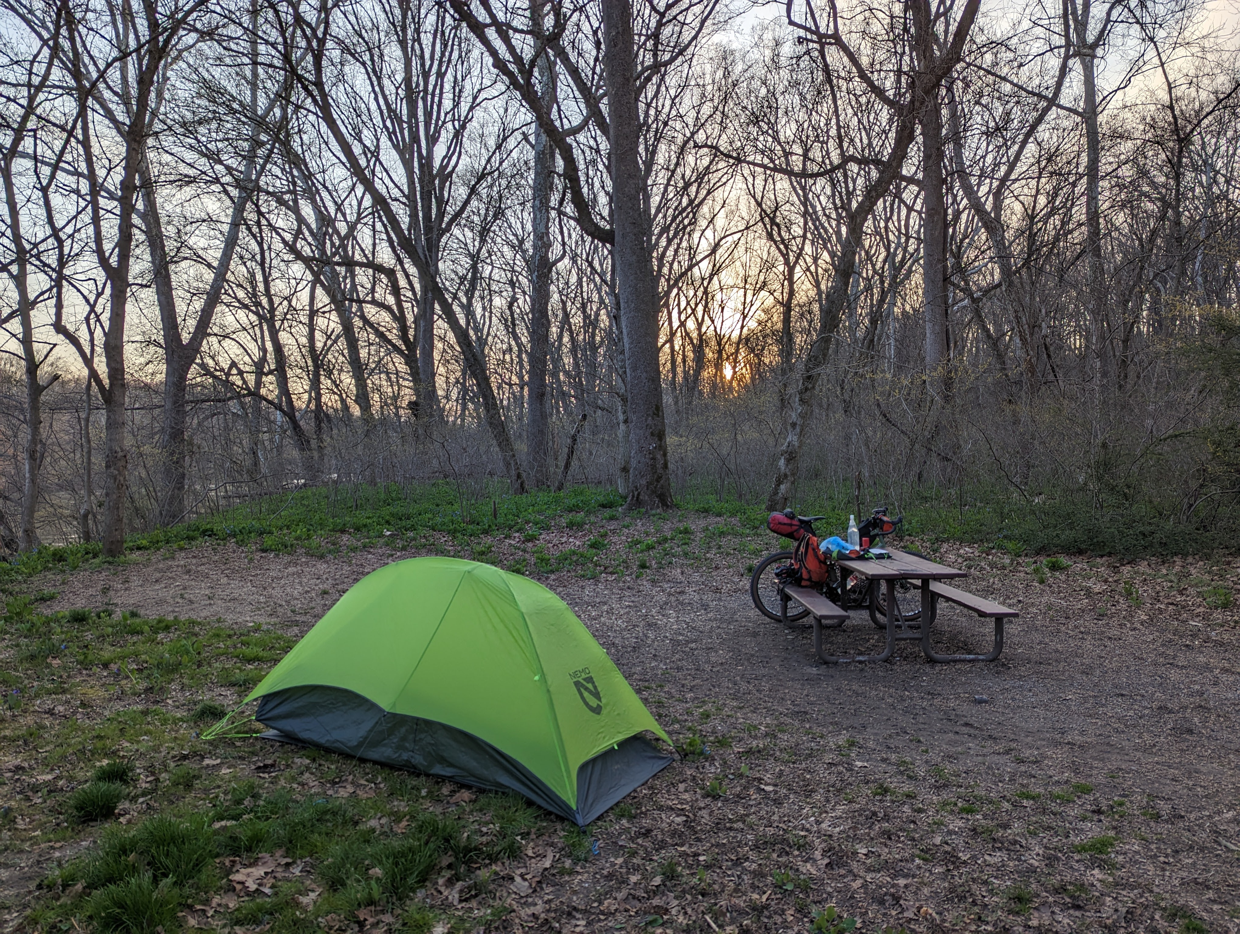
Big Woods campsite is set back from the towpath, down by the river. It’s one of the more secluded, smaller hiker biker campsites. There was no-one else here, so I had the campsite to myself.
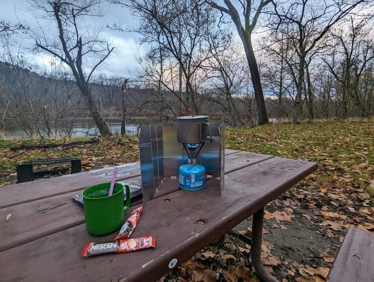
I had enough light to pitch the tent and have dinner. It was cool, but not cold. The river was flowing fast, specked with foam.
Across the river, on the West Virginia side, I could see the lights of one house, but they might as well have been on the moon, for the mighty Potomac stood between us. Otherwise, it was just me and the woods.
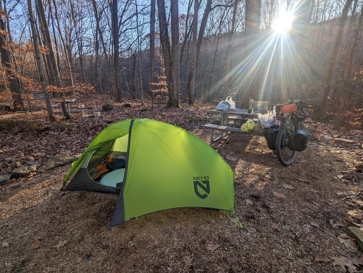
Nemo Hornet 1P tent setup at Big Woods campsiteCooking dinner
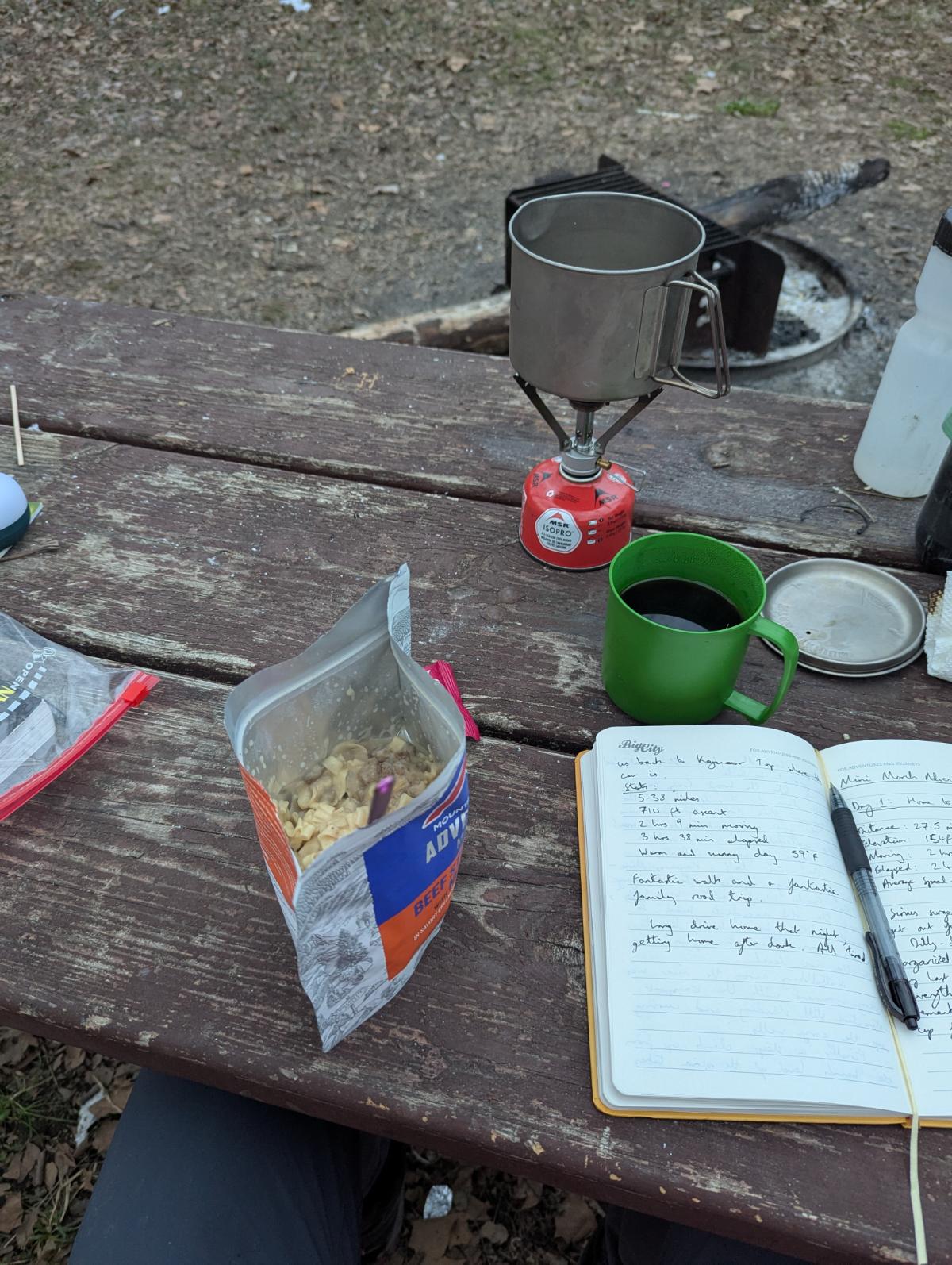
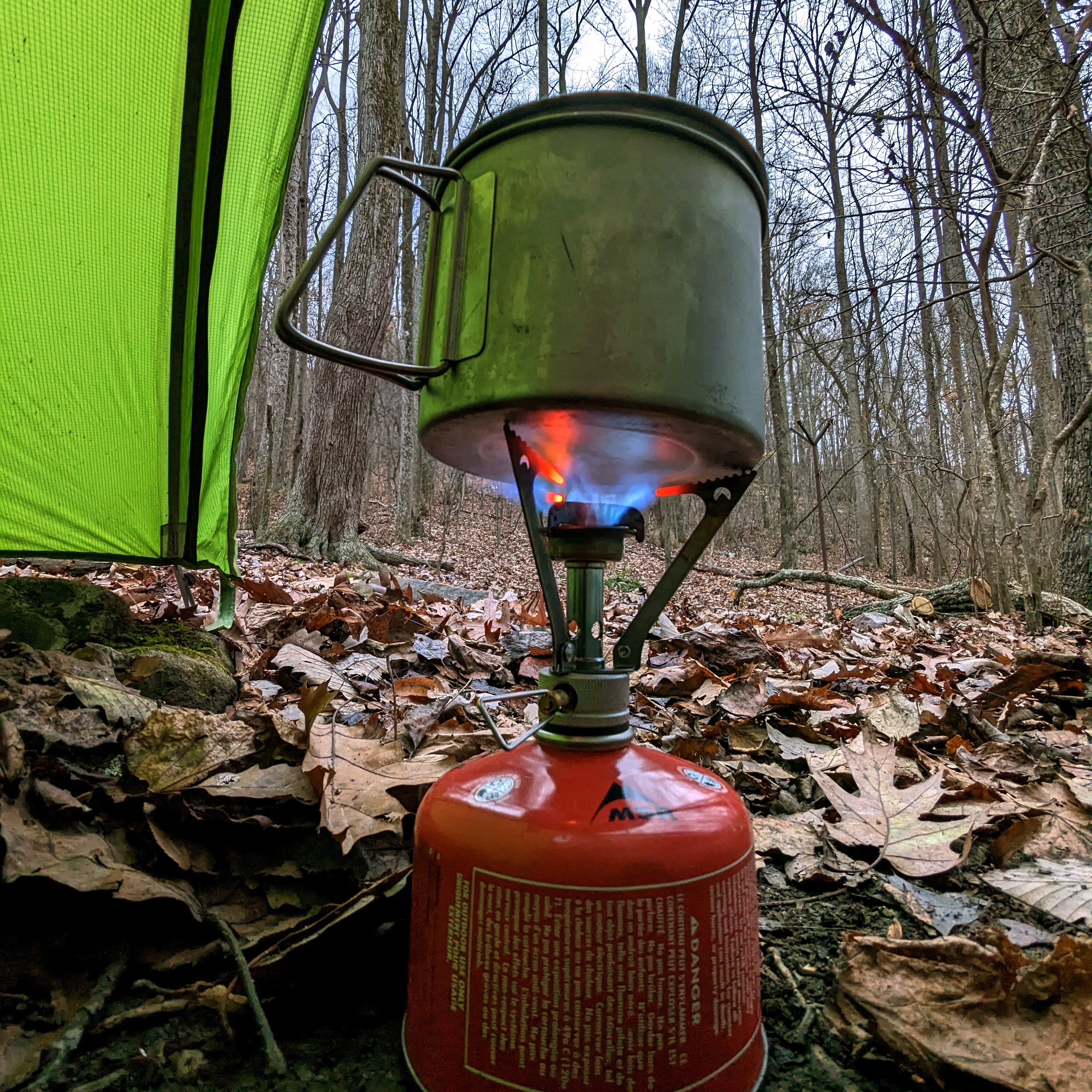
MSR Pocket Rocket still going strong after 10 years
It was a pleasant night and I slept well. The only drama was the camp pillow deflating on me but I survived somehow, haha.
What a strange pastime this bikepacking is. Riding to the middle of nowhere to lie in a tiny fabric coffin and read the same book I would have read from the comfort of home. But somehow it’s amazing and hard to beat!
Day 2: Big Woods to home, 24.2 miles
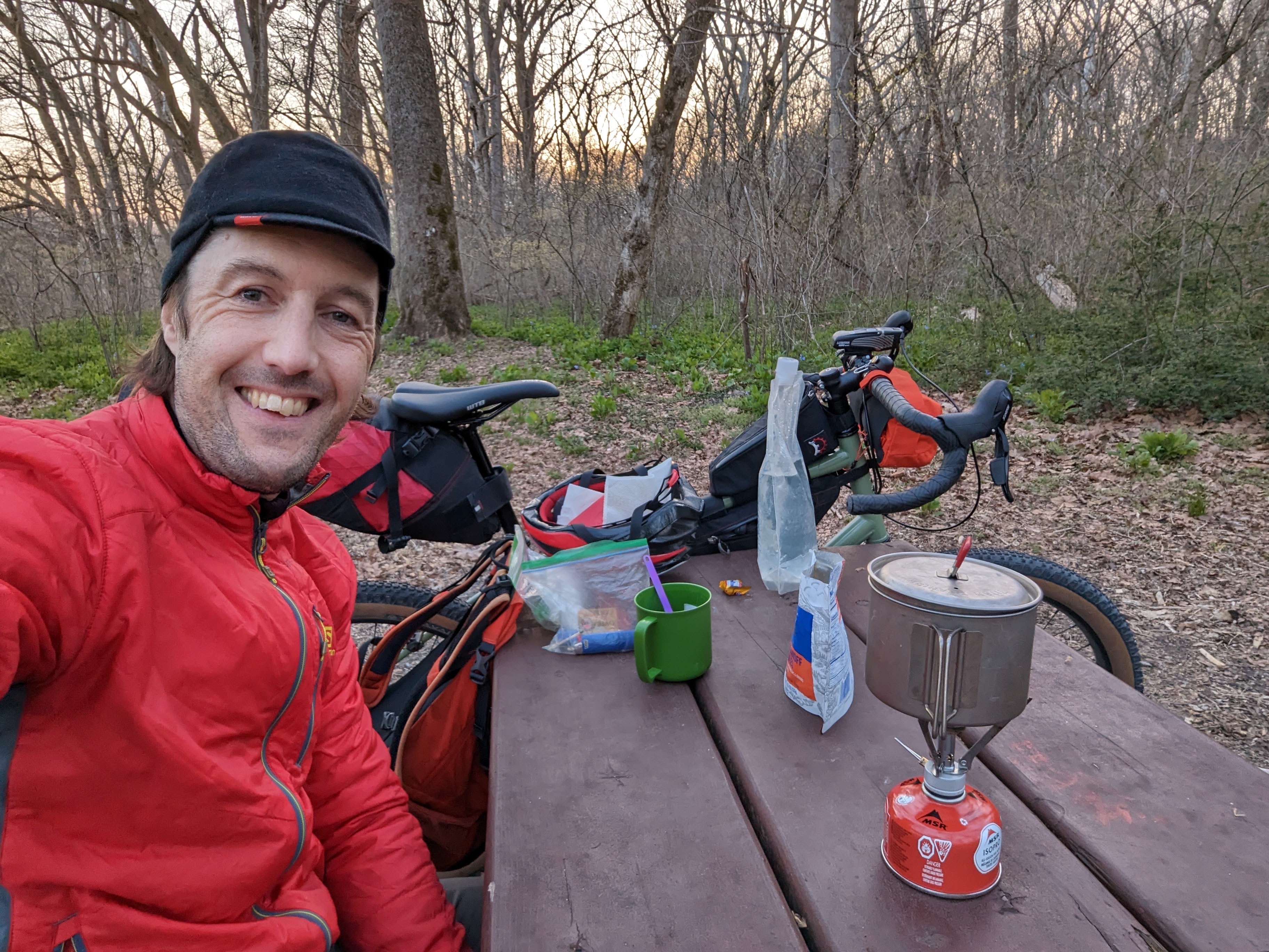
I awoke to birdsong at first light, around 6.30 am. I made breakfast outside — a weird boil-in-the-bag biscuits dish that had the consistency and texture of one of my son’s slime creations — and enjoyed it from the warmth of my sleeping bag.
Breakfast in the tent on morning of day 2
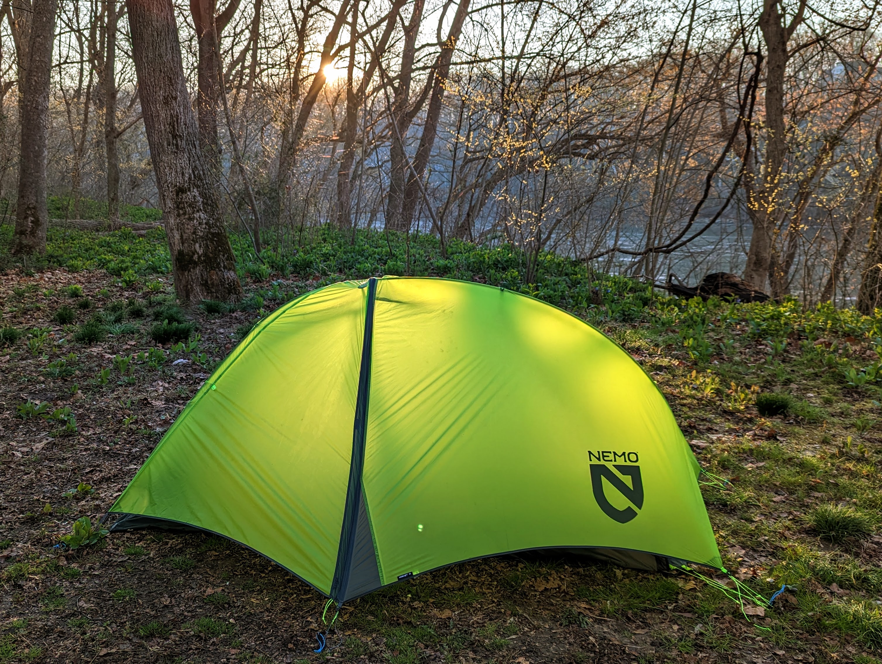
I watched the sun creep down from the tops of the tall sycamore trees, painting them gold, until finally hitting my tent and announcing the beginning of the day.
It was time to strike camp and get going!
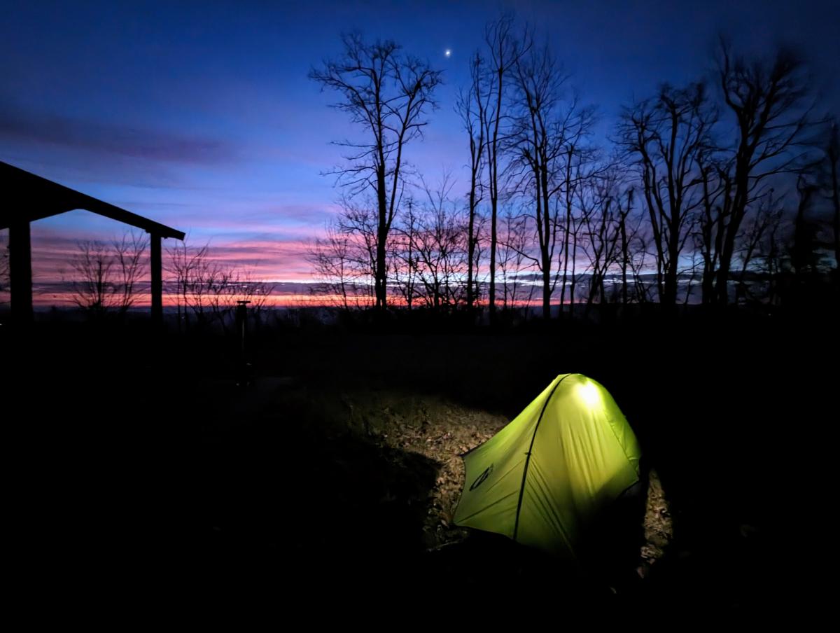
The tent catching the first rays of sunshine.
My return route was a reversal of yesterday’s, minus the few extra miles up to dam 4.
It was a cool morning, so my extremities took a little while to warm up. There were only a few dog walkers out, so it was another couple of hours of tranquil riding alongside the bubbling river.
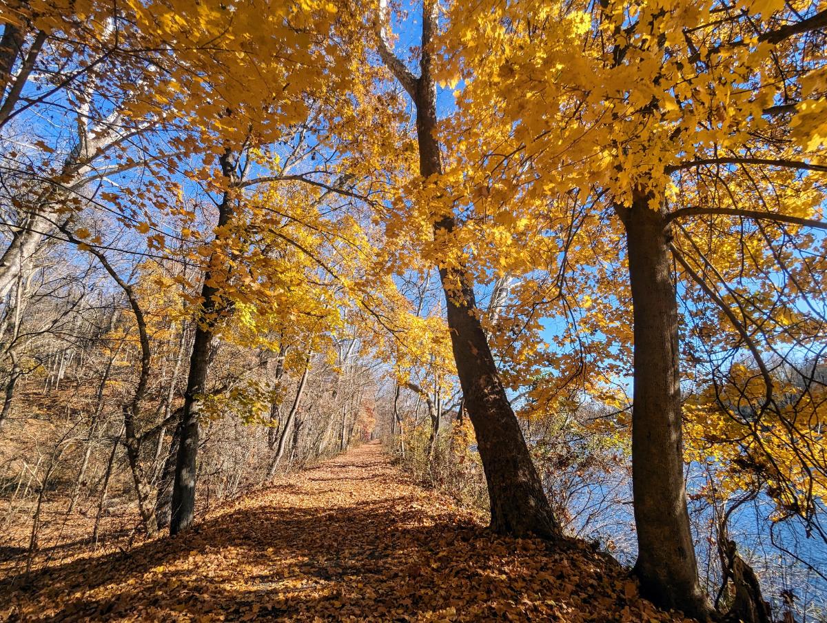
Departing Big Woods campsite on the morning of day 2. It was cold in the shadows along the canal towpath.Beautiful, easy miles along the C&O canal.
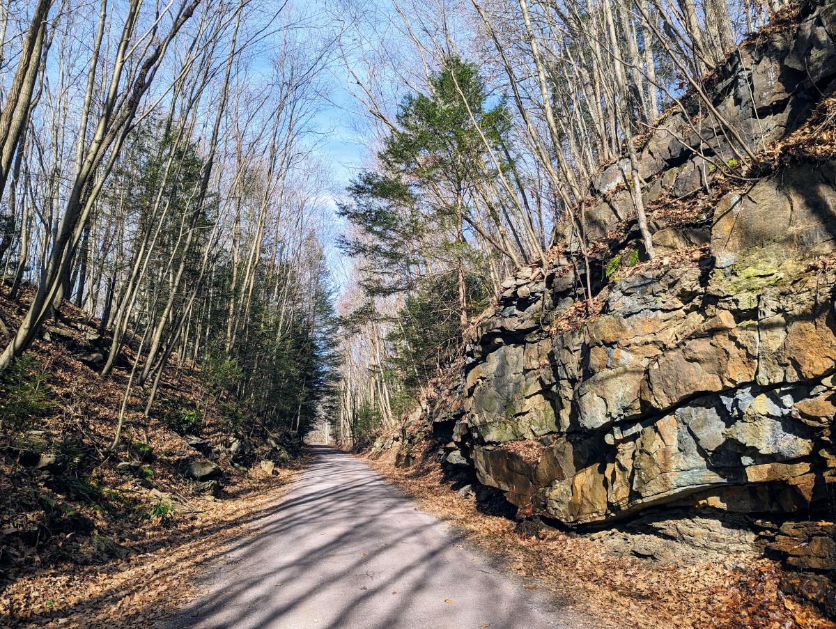
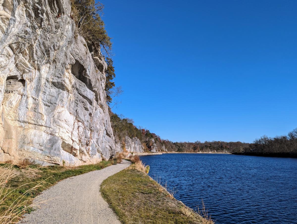
With every ride along the canal, one learns or notices something new. This time, I saw the cliffs along the Maryland shore in a new light. Of course, I’ve seen them many times before, but I’d never really appreciated their size and how remarkable it is that the canal company could build the canal between the cliffs and the river.
Cliffs next to the C&O canal. It’s impressive that they could fit a canal between the river and cliffs.
I was home by mid-morning and back at work by noon. It was another successful S24O (sub 24-hour adventure) by bike.
I’m already looking forward to the next one, perhaps I’ll head downstream this time, and stay at Marble Quarry campsite. There’s also 50+ miles of singletrack near Seneca that’s on my radar, but I probably need 2-3 full days to get there and enjoy that. One for the future though!
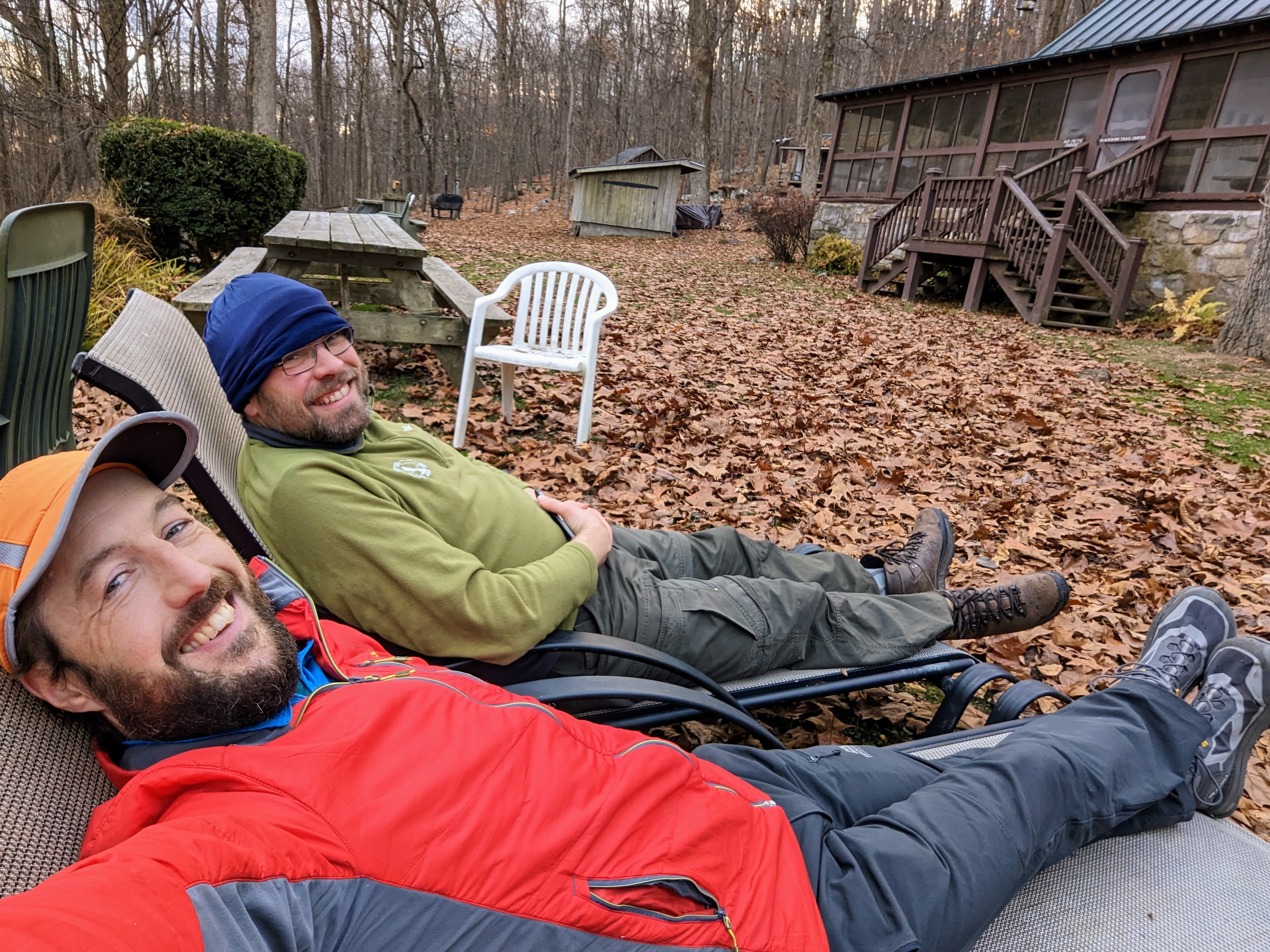
My good friend Alistair — who I walked with in the Peak District earlier this year — came to Harpers Ferry for a visit and we got out for a 3-day backpack along my local section of Appalachian Trail: the infamous roller coaster section.
We had a fabulous three days, starting with a warm shorts and t-shirt weather and ending with below-freezing conditions, a true changing of the seasons.
Here’s a selection of photos from our hike north along the AT. Enjoy!
Route: Ashby Gap to Harpers Ferry
Day 1 (red): 11.1 miles / 2,720 ft ascent / 4 hrs 59 minutes walking time
Day 2 (purple): 15.2 miles / 3,653 ft ascent / 6 hrs 21 minutes walking time
Day 3 (blue): 12.2 miles / 1,564 ft ascent / 4 hrs 13 minutes walking time
Day 1: Ashby Gap to Sam Moore shelter
Lexi and the boys dropped us off at Ashby Gap, and walked with us for the first mile or so, before they turned around back to the car. It was wonderful to share the start of the trip with the family. Hopefully they’ll want to come with me when they’re a little older.
Lexi and the boys walked the first mile with us – a fine send off! (Photo by Lexi)Recent rain meant all the streams were flowing, nice to see after such a dry summerStarting the roller coaster, an infamous 13 miles of trail in VA that goes up and down, and up and down, and up and down, and up and down…Alistair following the white blazesStream crossing near Morgans Mill Road
This section of trail is known as the roller coaster, and for good measure. Over 13 miles, it ascends and descends ten ridges! We certainly felt it in our legs.
We were slightly slower than expected, arriving on the summit of Buzzard Hill in the late afternoon. The light was beautiful. I’ve climbed Buzzard Hill a few times before, but never from the south.
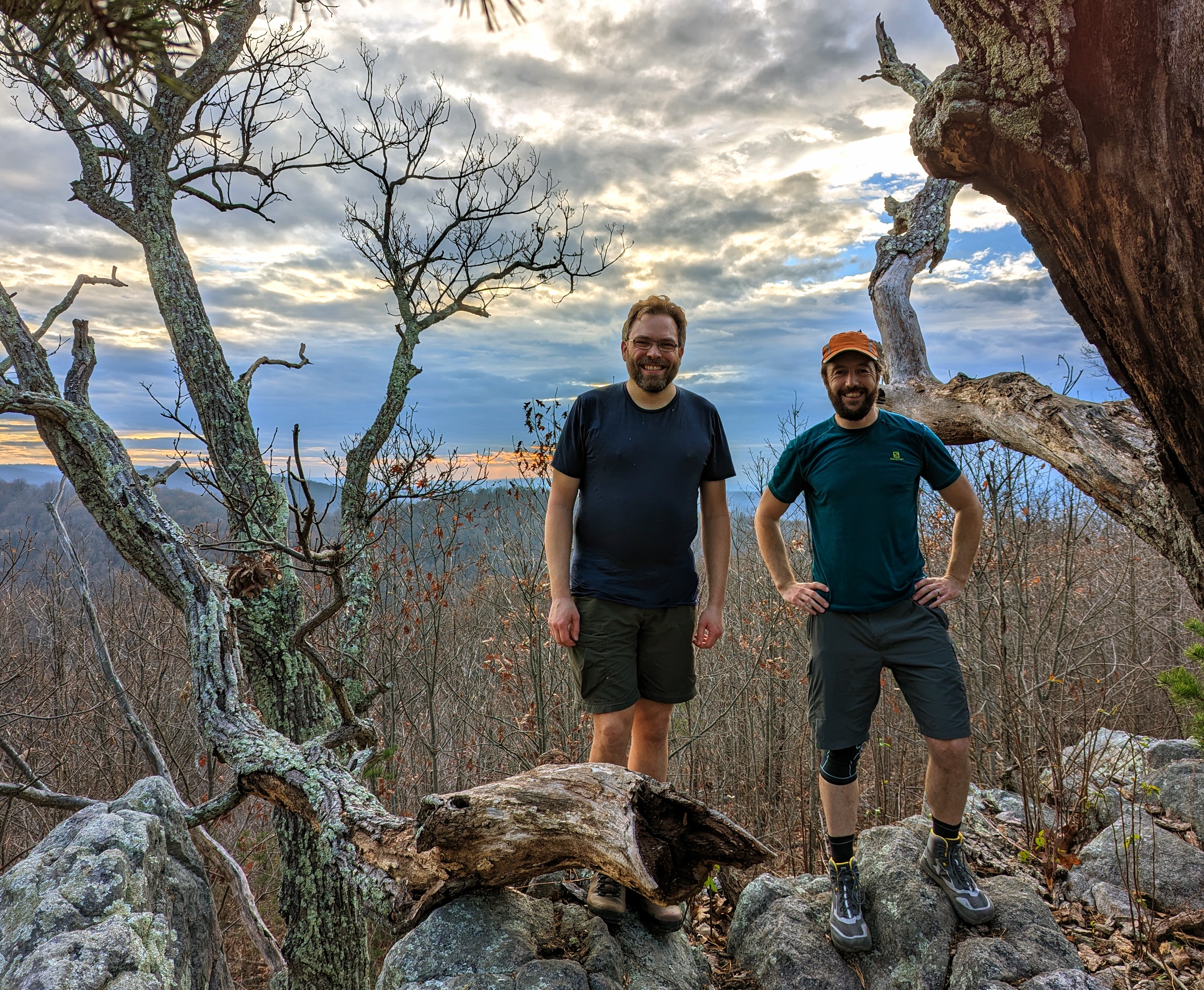
Enjoying the golden hour light on top of Buzzard Hill (photo by Alistair)Alistair and me on the summit of Buzzard HillView from the summit of Buzzard Hill in the evening light
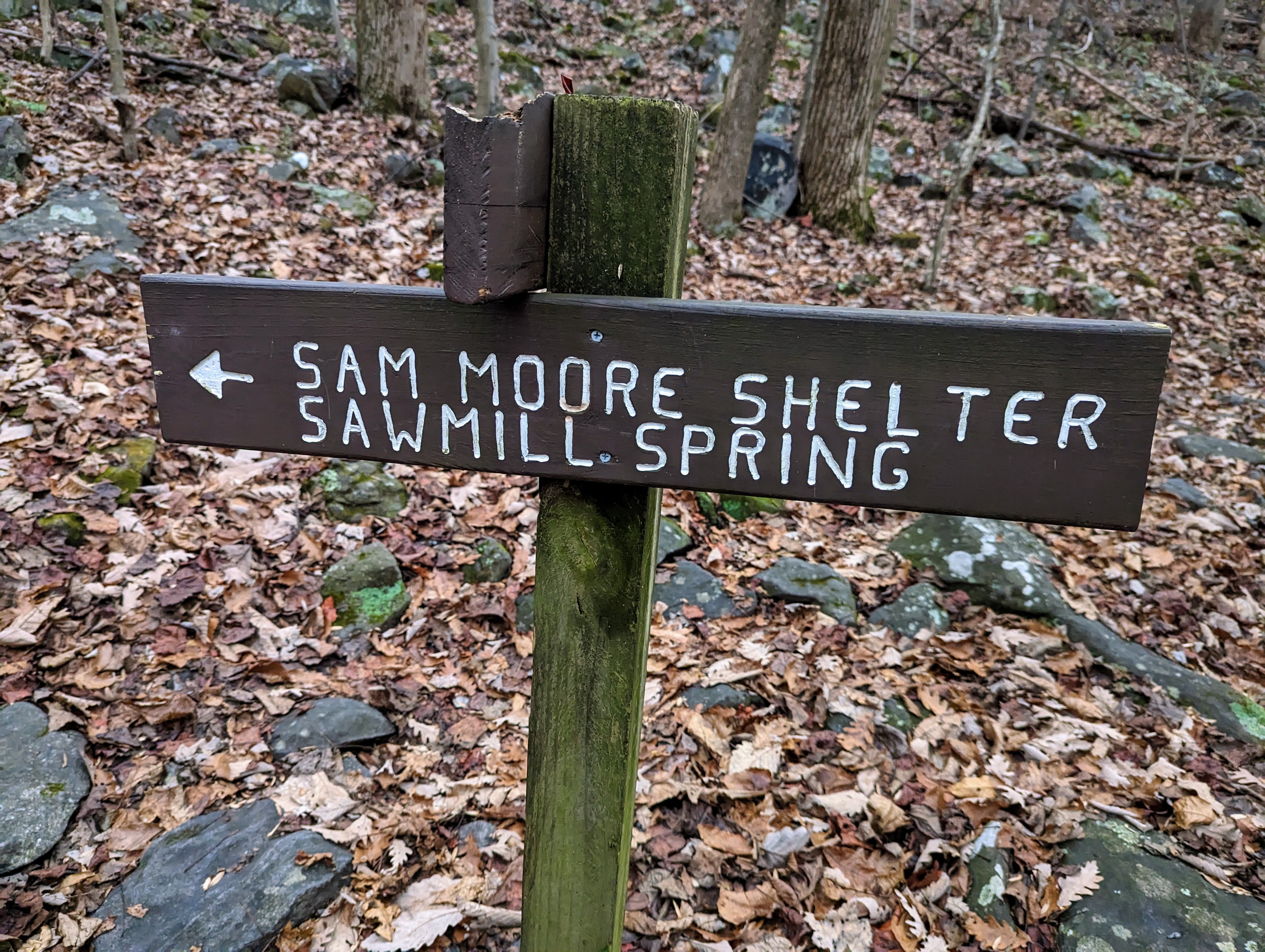
We left the summit of Buzzard Hill to walk the final mile and a half to the Sam Moore shelter, where we camped for the night.
We arrived just before dark — around 5pm this time of year — and had just enough light to locate a couple of suitable tent sites and find water in the spring.
I had iodine tablets with me for purification, but we both used Alistair’s Sawyer Mini filter, which was preferable as it didn’t alter the taste of the water.
Sam Moore shelter sign – our home for the nightFirst task on arrival at camp was to retrieve (and filter) water from Sawmill Spring
After the tents were pitched, we cooked and ate dinner with three other hikers at the shelter picnic area. One of the other hikers remarked “I’m surprised to see others out here! I thought I’d be the only one mad enough to camp out at this time of year!”
The warmth of the day continued into the evening, so it was comfortable to sit out, eating and chatting under head torch. The temperature dropped during the night.
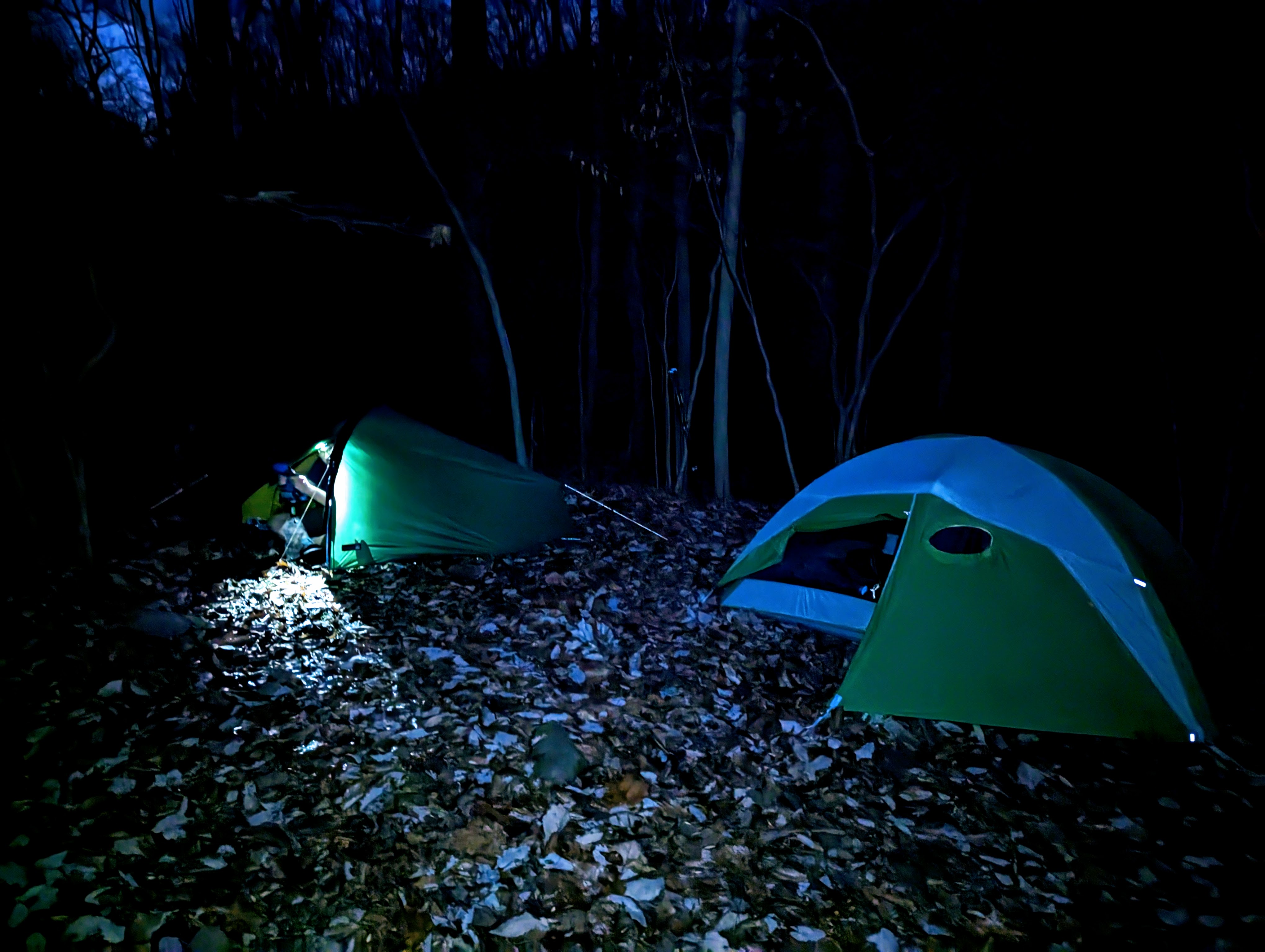
Alistair’s tent on the left, mine on the right, outside Sam Moore shelter
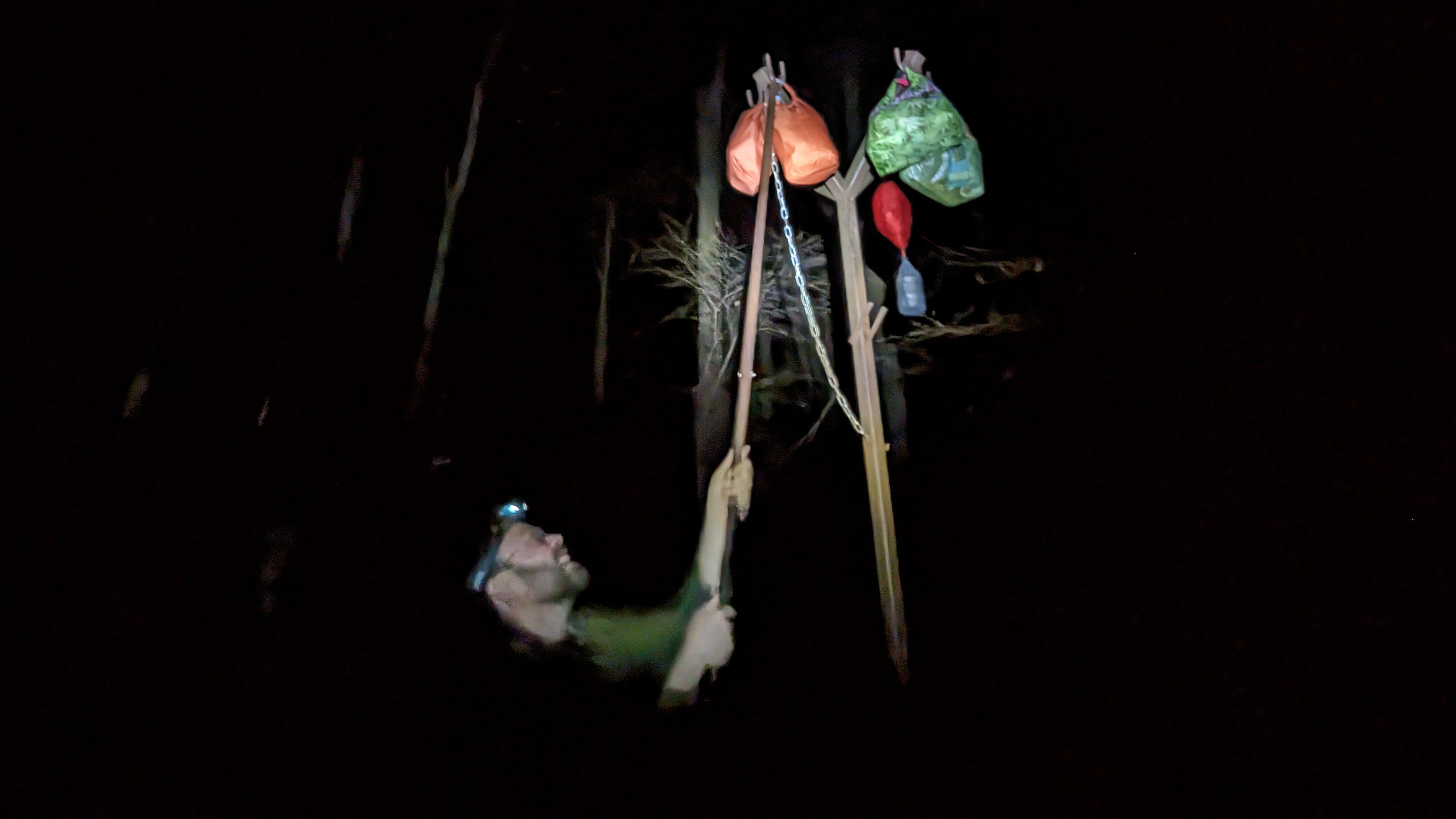
After dinner, the final task of the day was to hang our food out of reach of the bears on the metal pole near the shelter.
Then, sleep.
Alistair hanging his food to prevent bears causing any trouble
Day 2: Sam Moore shelter to David Lesser shelter
I slept really well. With darkness from 5.30 pm until nearly 7 am, it gives you a long time to rest in the tent.
Camped next to the Sam Moore shelter (in the background, left of the tents)
I love camping, and living out in the woods, so it was a real treat to wake up surrounded by trees and nature. After retrieving our foods bags, we retreated to our respective tents to cook and enjoy breakfast from sleeping bags, since it was much, much colder than the evening before.
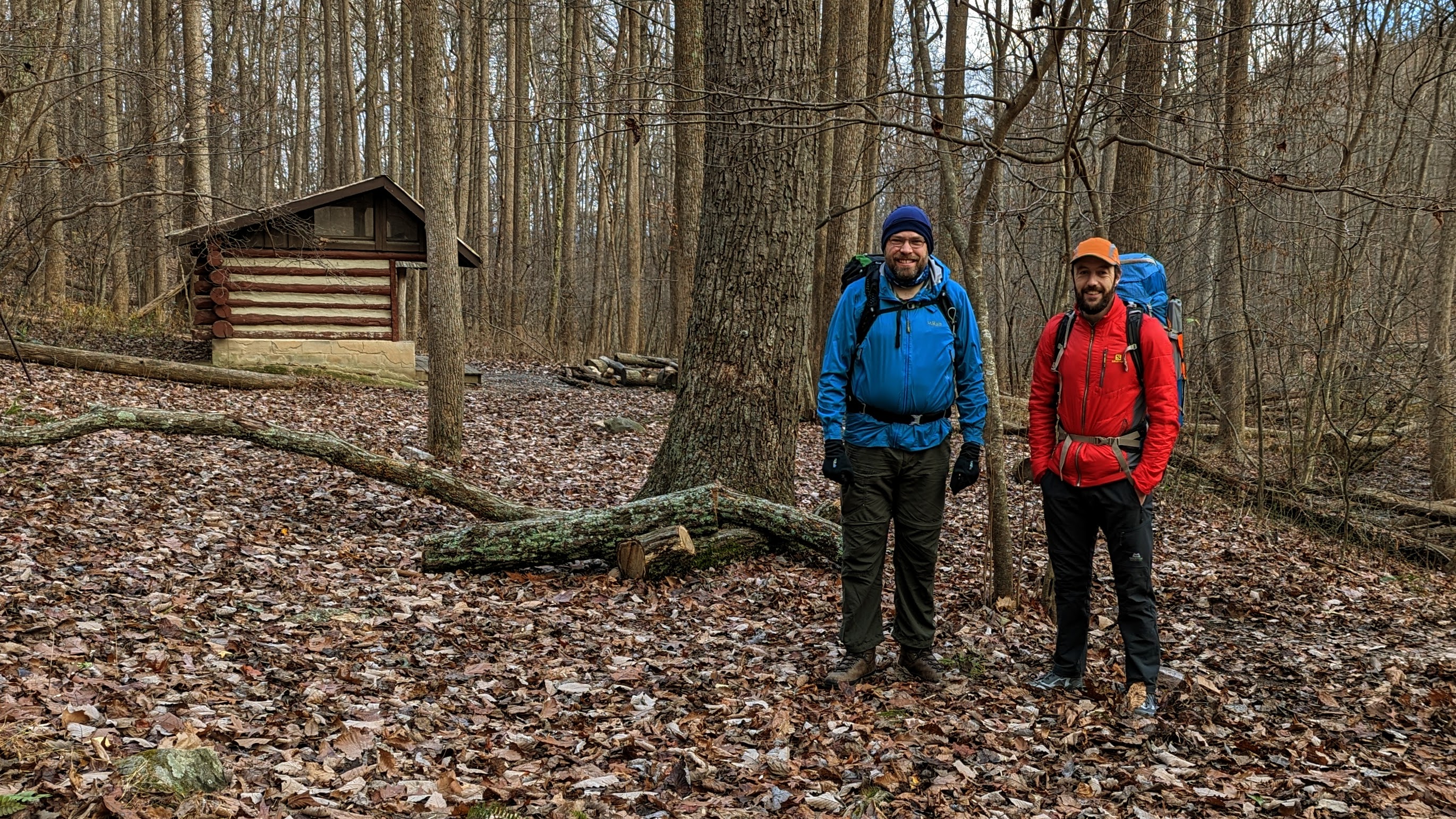
My MSR Pocket Rocket stove still going strong after all these yearsAlistair (in blue) and me (in red) ready to depart Sam Moore shelter for our second day of walking.
The second day was more of the same: up and down, up and down, on repeat.
It was hard work, with the heavy bags and lack of backpacking specific fitness. We both remarked that it was one of the hardest days we’ve done for a while. Certainly by the end of the day, my back was stiff and aching from carrying the backpack. Thankfully, my knees, which I was worried about before this trip, felt great and gave me no trouble at all.
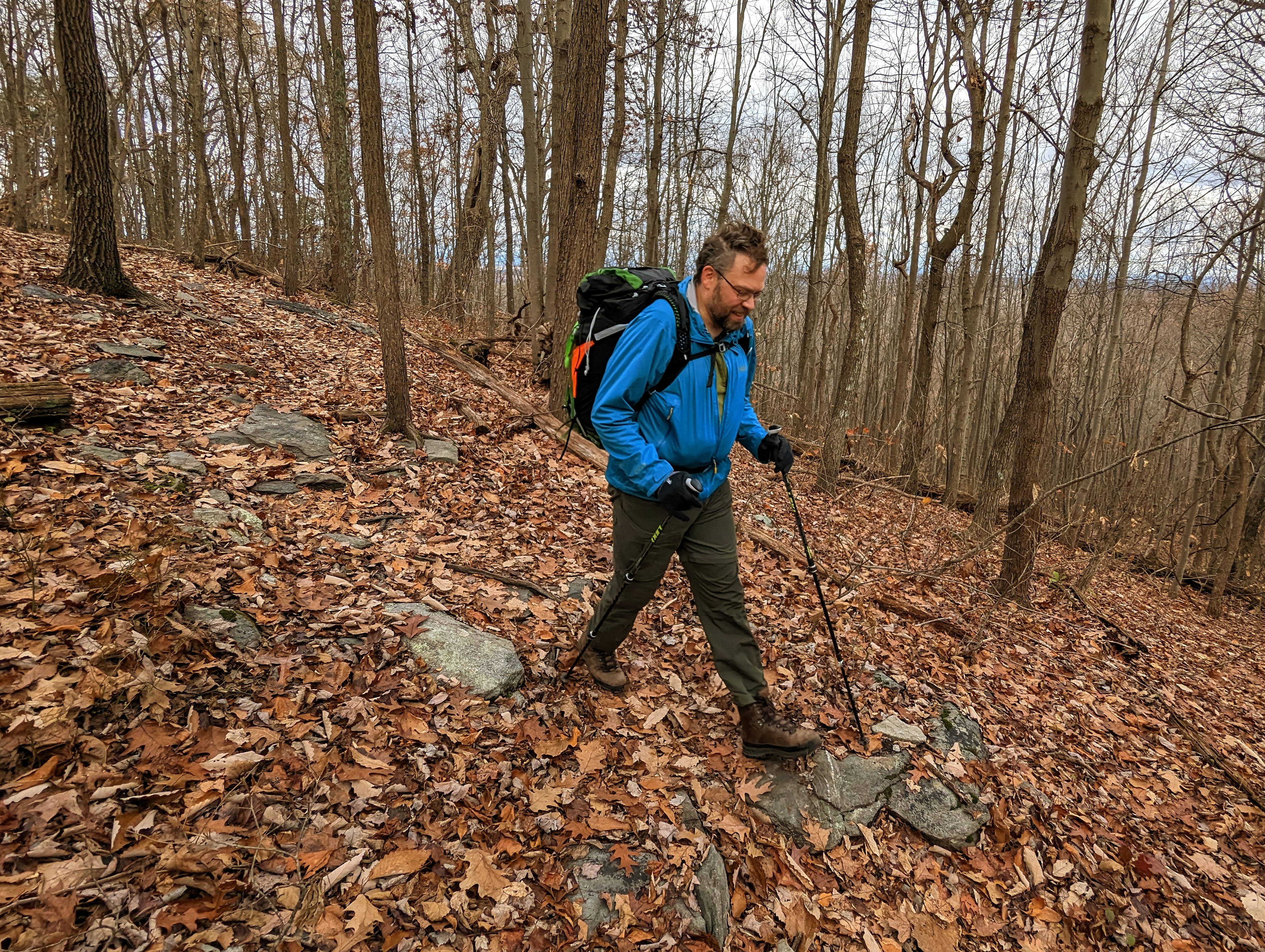
Me crossing one of the many streams along the route (photo by Alistair)Alistair striding out along the AT
We enjoyed the wonderful vistas from the Bears Den lookout and an hour or so later, from the Raven Rocks lookout. I’m familiar with both of these lookouts from previous hikes (this one and this one), but I’m more than happy to return and enjoy them again and again. It was neat to arrive at these lookouts during a multi-day trip this time.
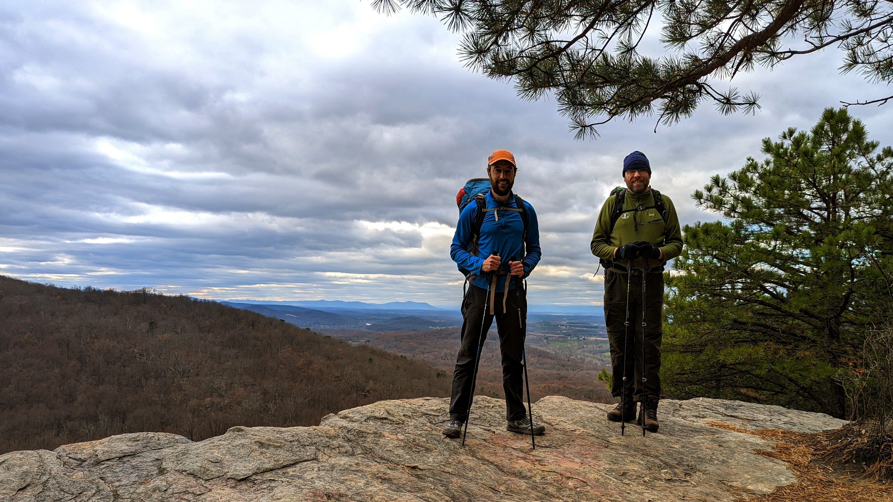
View at Bears Den lookoutMe and Alistair at Raven Rocks lookout
There’s one more ridge line to climb up and over before reaching the end of the roller coaster section. We were looking forward to a section of flatter, easier trail!
Phew! We reached the end of the roller coaster section of the trailMy happy place 🙂
Since the day had taken longer than we expected, we opted to collect water from the Blackburn Trail Center (which we knew had a reliable, outdoor spigot), rather than have to find the spring at the David Lesser shelter in the dark. This proved to be a good move, as the spring is quite a way down the hill from the shelter.
Relaxing on the sun loungers at the Blackburn Trail Center, where we filled up with waterBeautiful views from the lookout just north of Blackburn Trail Center
We arrived at the David Lesser shelter in the dark, but quickly found two tent sites and got situated. We were both exhausted.
It was a really cold night, so we cooked and ate dinner as quickly as we could before retiring to tents to get warm. The David Lesser shelter has a bear box, so we stored our food there for the night.
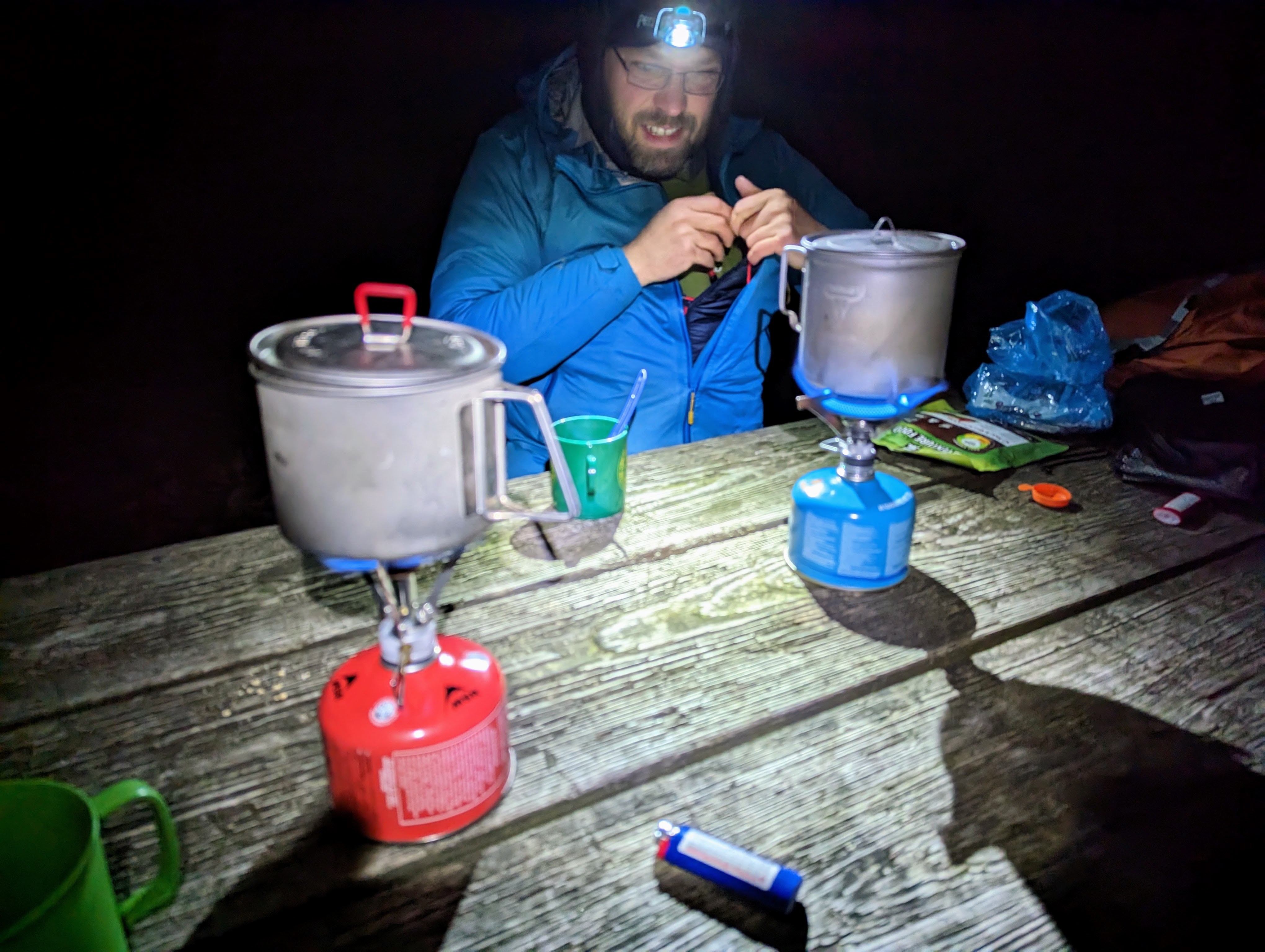
We walked with head torches for the final half an hourDinner in the dark that night!
Day 3: David Lesser shelter to Harpers Ferry, including Loudoun Heights lookout
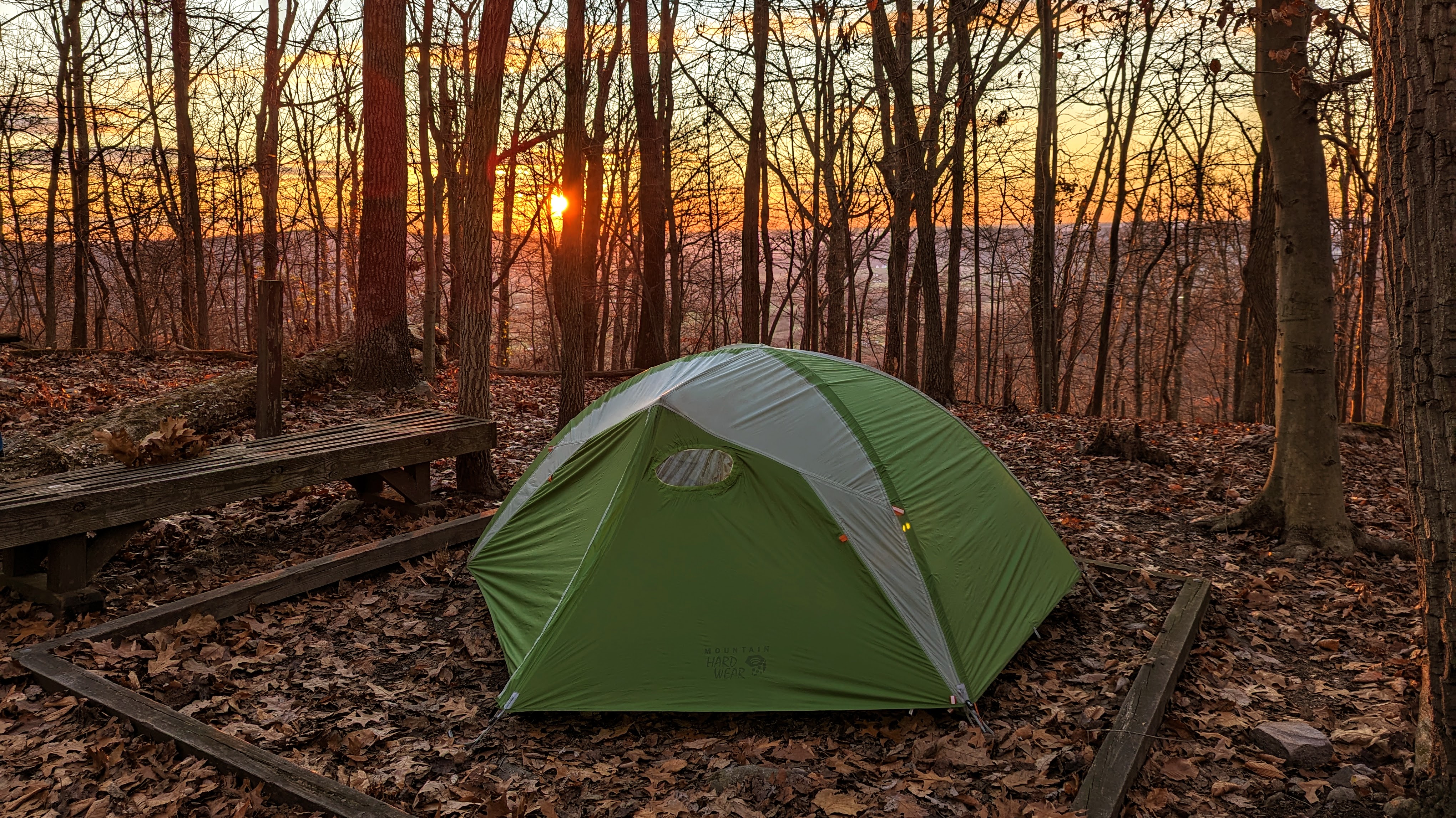
I had no idea what the view was like from the shelter because we’d pitched in the dark the night before. I woke about 6.30 am and when I saw the orange glow outside the tent walls, I jumped up, camera in hand, and took a bunch of photos. It was beautiful. I was like a kid-in-a-candy shop!
Sublime camp spot below the David Lesser shelterAn amazing view to wake up to!
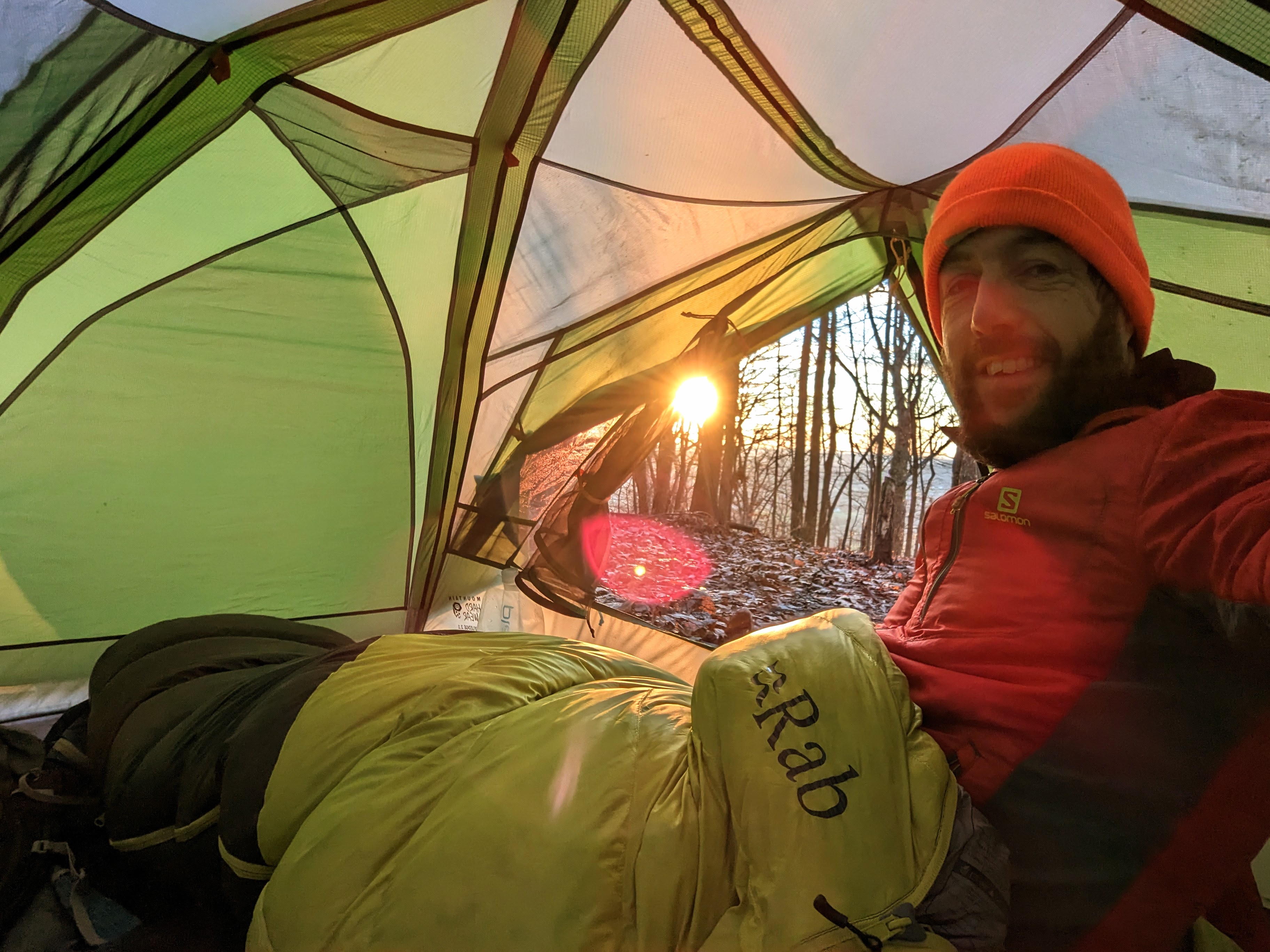
It was another cold morning, so we opted to cook and eat breakfasts from the porches of our tents. It was bliss, sitting in my sleeping bag with a cup of tea, just enjoying the view of the woods and the silence of just being. I felt more content than I have done for a long time. I was in no rush to pack up and start hiking.
What a spot for breakfast!
We eventually got away at about 9.30 am, after seeing the shelter and signing the logbook.
Alistair relaxing in the very comfortable recliner at the David Lesser shelter
This third day was much easier than the two previous days. The trail was flat or downhill mostly, so we made much better time, apart from a few sections of very rocky trail that required more care.
Yours truly on the AT, wearing lots of orange because fall is hunting season (even if it’s not an explicit hunting area, it’s still a wise idea this time of year). (Photo by Alistair.)
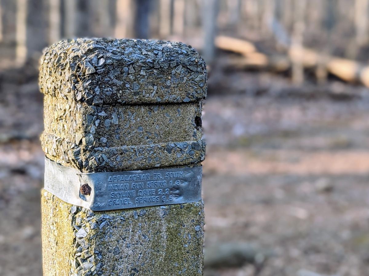
As we approached Harpers Ferry, the trail became more familiar to me. Keys Gap, the boardwalks, the power line break, 4-mile camp, the WV/VA state border, and finally into Harpers Ferry National Historical Park.
We had plenty of daylight and both felt great so we opted to take the side trail to Loudoun Heights overlook. I wanted to show Alistair my favorite local walk.
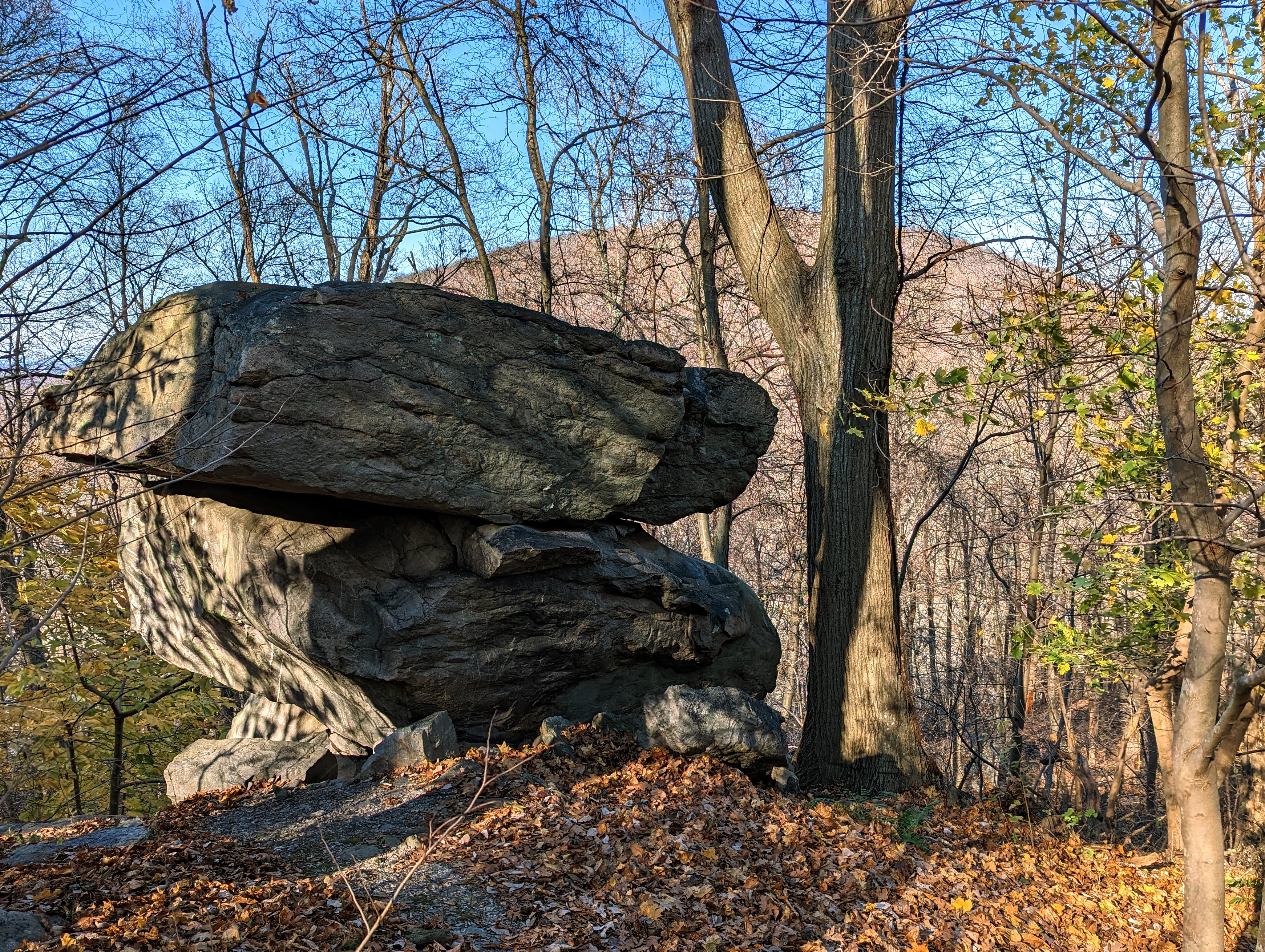
Nearly home! Entering Harpers Ferry National Historical ParkBoulder en route to Loudoun Heights lookout, with Maryland Heights in the background
We spent a bit of time exploring the lookout — our final “summit” of the trip — before the final descent into Harpers Ferry and home.
There’s something special about finishing (or starting!) an adventure from your doorstep. You walk through the front door, drop your bag, and make yourself a cup of tea, as if you’ve just got back from an hour’s stroll.
Alistair and me at Loudoun Heights lookout, with Harpers Ferry in the backgroundLast steps along the AT before joining US340 to cross the Shenandoah RiverCrossing the Shenandoah, with Maryland Heights on the left, and Loudoun Heights on the right
All in all, a fabulous three days with one of my oldest friends. What more could you ask for!